Bar Moor
Downs, Moorland in Northumberland
England
Bar Moor
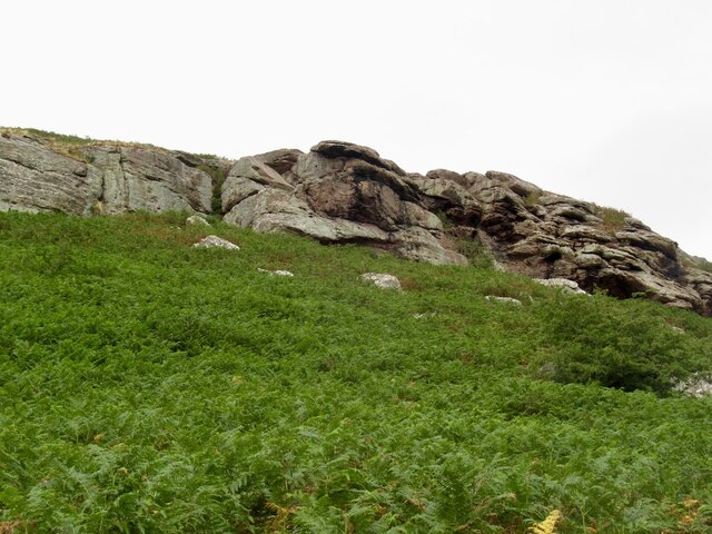
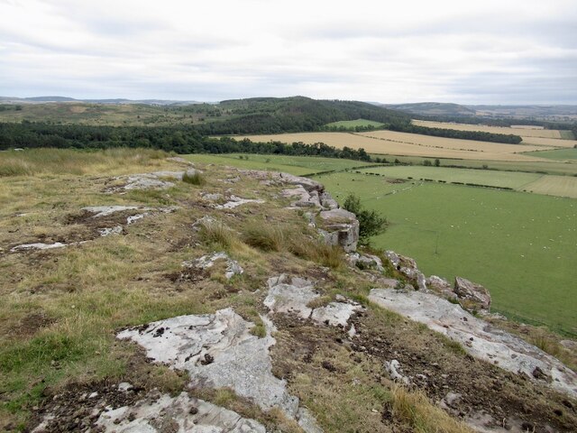
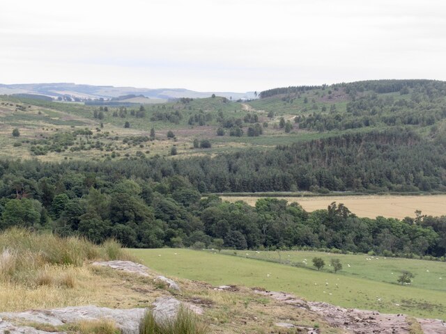
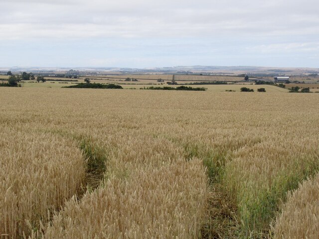
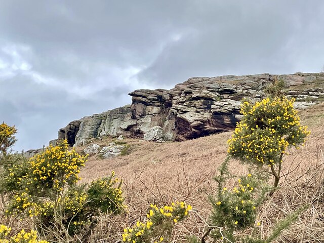
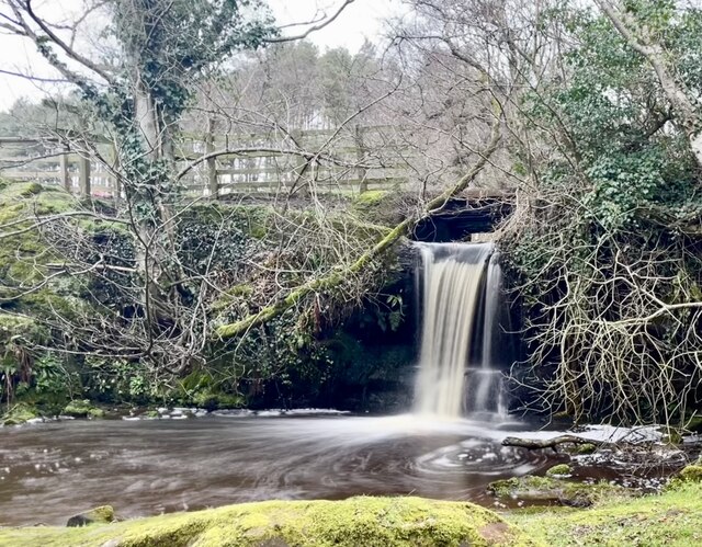
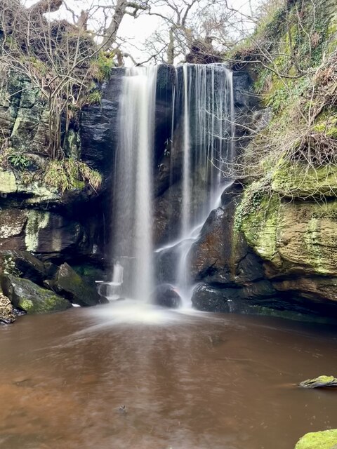
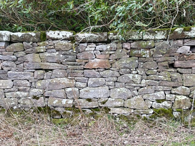
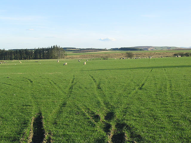
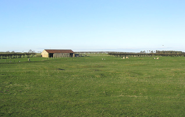
Bar Moor is a picturesque region located in Northumberland, England. It is known for its vast expanse of downs and moorland, offering visitors a truly serene and unspoiled natural environment. The moorland is characterized by its rolling hills, heather-covered landscapes, and scattered patches of woodland, providing a beautiful contrast of colors throughout the year.
The area is home to a diverse range of flora and fauna, including rare bird species such as the red grouse and curlew. Visitors can observe these fascinating creatures in their natural habitat, making it a popular destination for birdwatching enthusiasts.
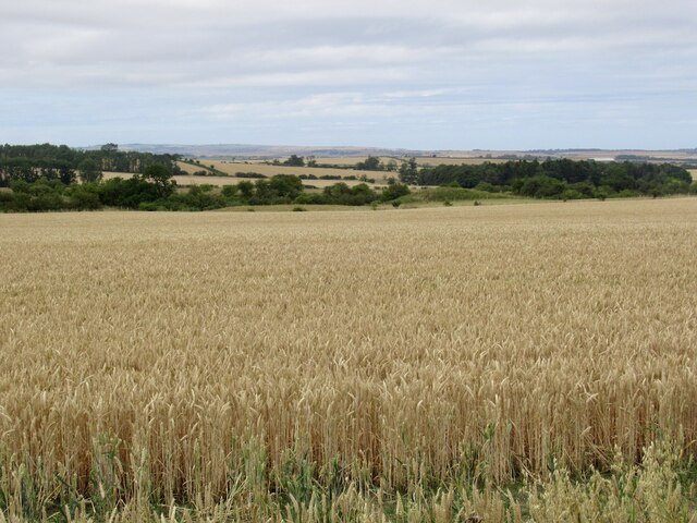
The downs of Bar Moor offer breathtaking panoramic views of the surrounding countryside, with the distant Cheviot Hills adding to the charm and tranquility of the area. The open landscape is perfect for long walks and hikes, allowing visitors to immerse themselves in the beauty of nature. The moorland also features well-maintained trails, making it accessible for all levels of outdoor enthusiasts.
Bar Moor is steeped in history, with evidence of human habitation dating back thousands of years. Ancient burial mounds and stone circles can be found scattered across the moor, providing insight into the region's rich cultural heritage.
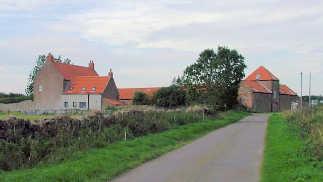
Visitors to Bar Moor can take advantage of the nearby amenities, including cozy country pubs and charming bed and breakfast accommodations. The area is also within close proximity to other attractions in Northumberland, such as Hadrian's Wall and the historic market town of Hexham.
In summary, Bar Moor is a true gem in Northumberland, offering visitors the opportunity to immerse themselves in the natural beauty and tranquility of the downs and moorland. With its diverse wildlife, stunning views, and rich history, it is a must-visit destination for nature lovers and history enthusiasts alike.
If you have any feedback on the listing, please let us know in the comments section below.
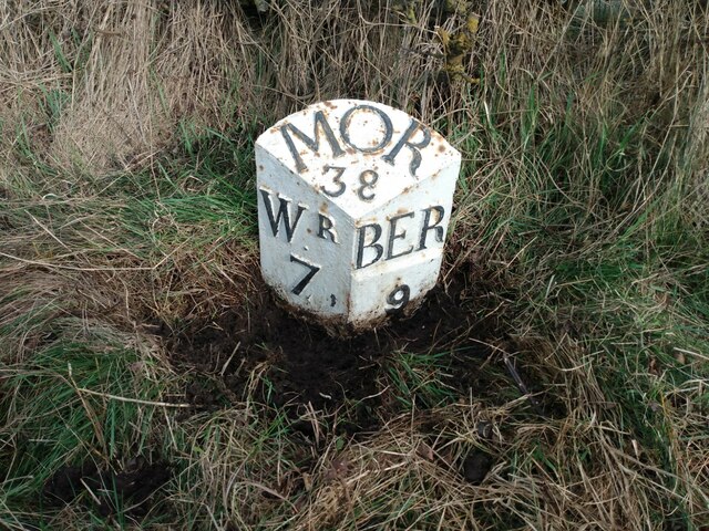
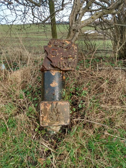
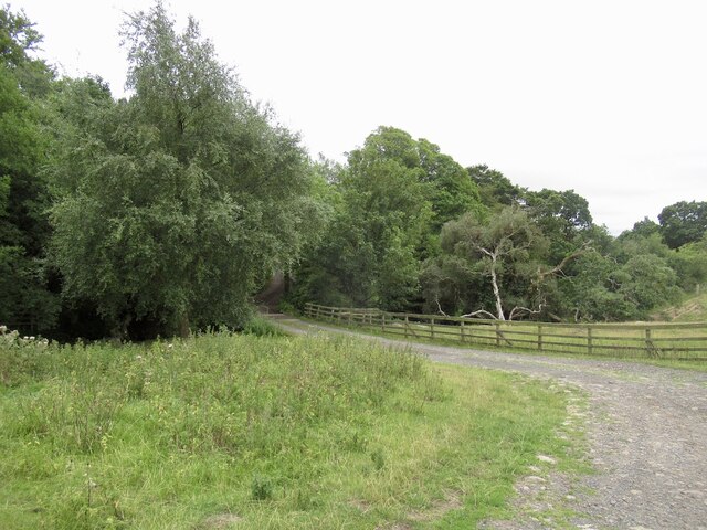
Bar Moor Images
Images are sourced within 2km of 55.634123/-2.0107108 or Grid Reference NT9937. Thanks to Geograph Open Source API. All images are credited.
Bar Moor is located at Grid Ref: NT9937 (Lat: 55.634123, Lng: -2.0107108)
Unitary Authority: Northumberland
Police Authority: Northumbria
What 3 Words
///mild.losing.dared. Near Lowick, Northumberland
Nearby Locations
Related Wikis
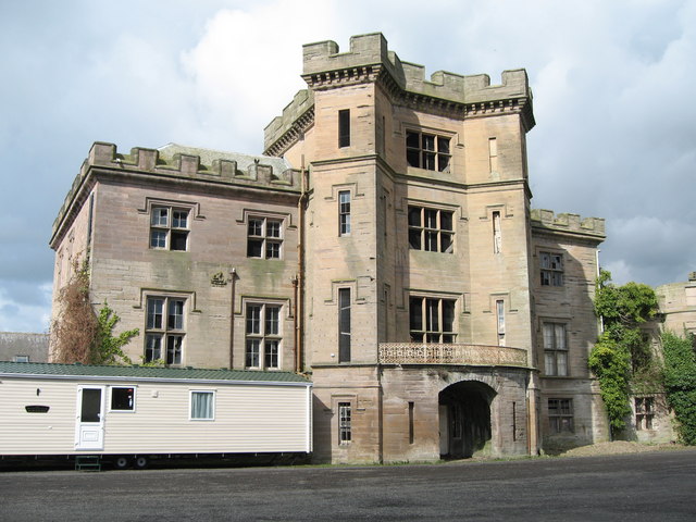
Barmoor Castle
Barmoor Castle ( grid reference NT99723988) is a privately owned 19th-century country house built on an ancient site in Northumberland. It is a Grade...
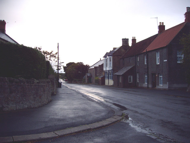
Lowick, Northumberland
Lowick () is a village in Northumberland, north east England. Lowick lies on the B6353 road, about 10 miles (16 km) south of Berwick-upon-Tweed. The Anglican...

Bowsden
Bowsden is a village and civil parish in Northumberland, England. It is about 6 miles (10 km) to the south of Berwick-upon-Tweed, inland from the North...

Nesbit, Northumberland
Nesbit is a hamlet and former civil parish, now in the parish of Doddington, Northumberland, England. It was once the site of a medieval village. In maps...

Ford, Northumberland
Ford is a small village and civil parish in Northumberland, England, about 13 miles (21 km) from Berwick-upon-Tweed. The parish also includes Etal. �...

Lady Waterford Hall
Lady Waterford Hall is the former village school of the estate village of Ford, Northumberland. It is now used as the village hall and is a Grade II* listed...

Ford Castle
Ford Castle is a Grade I listed building situated at a shallow crossing point on the River Till, Ford, Northumberland, England. The castle dates from about...

Holburn
Holburn is a hamlet in the English county of Northumberland. Holburn is located between Lowick and Belford. == Governance == Holburn is in the parliamentary...
Nearby Amenities
Located within 500m of 55.634123,-2.0107108Have you been to Bar Moor?
Leave your review of Bar Moor below (or comments, questions and feedback).