Turf Moor

Downs, Moorland in Yorkshire Richmondshire

England

Turf Moor

Bleaberry Gill Ford This is Bleaberry Gill Ford shown under a Hunter Moon.
Bleaberry Gill Ford Credit: John Walton

Turf Moor is a renowned football stadium located in Burnley, Lancashire, England. Contrary to the prompt, it is not situated in Yorkshire but rather in the county of Lancashire. The stadium is the home ground of Burnley Football Club, which was founded in 1882. It is one of the oldest football grounds in England, with a rich history and tradition.

Turf Moor is nestled in a residential area, surrounded by terraced houses and local amenities. It has a seating capacity of around 21,944, making it one of the smaller stadiums in the Premier League – England's top-flight football league. The stadium's pitch is made of natural grass and is well-maintained throughout the football season.

The stadium has undergone several renovations and expansions over the years to accommodate the growing fan base and meet modern requirements. However, Turf Moor has retained its traditional charm and character, with four stands offering different views of the pitch. The stands are named after local landmarks: the James Hargreaves Stand, the Bob Lord Stand, the Jimmy McIlroy Stand, and the Cricket Field Stand.

Turf Moor has witnessed many memorable moments in Burnley's history, including their triumph in the 1959-1960 First Division season when they were crowned champions of England. The stadium has also hosted international matches and served as a training ground for various national teams.

Overall, Turf Moor is an iconic football stadium known for its passionate atmosphere, rich history, and its role in the community of Burnley.

If you have any feedback on the listing, please let us know in the comments section below.
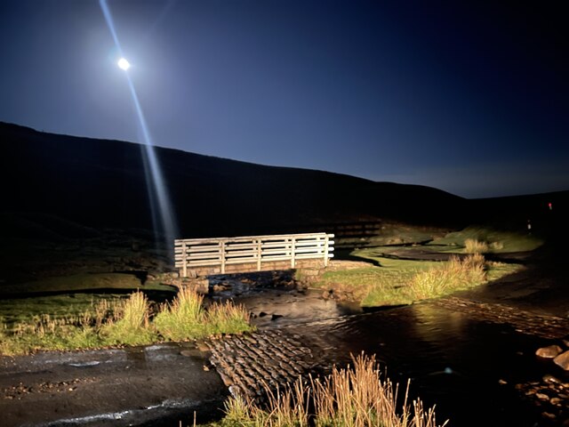
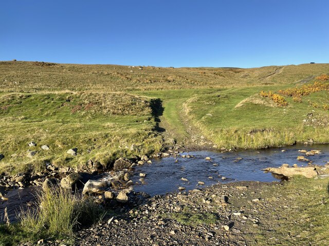
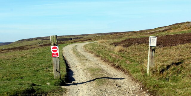
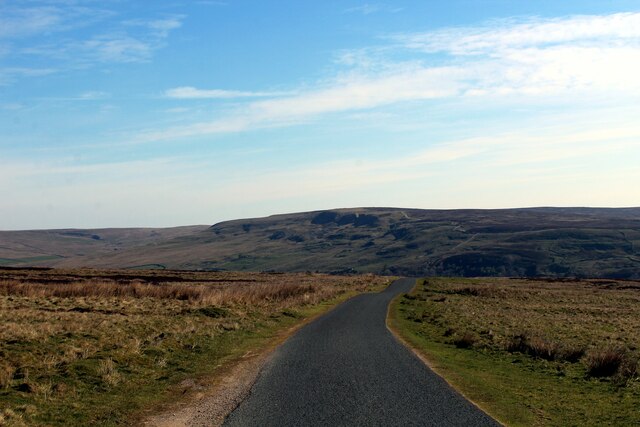
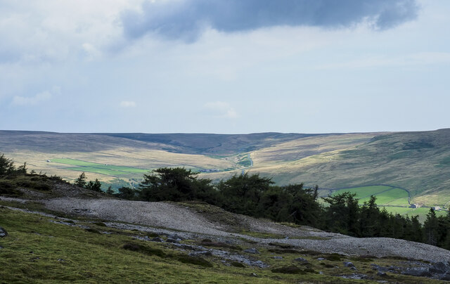
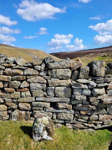
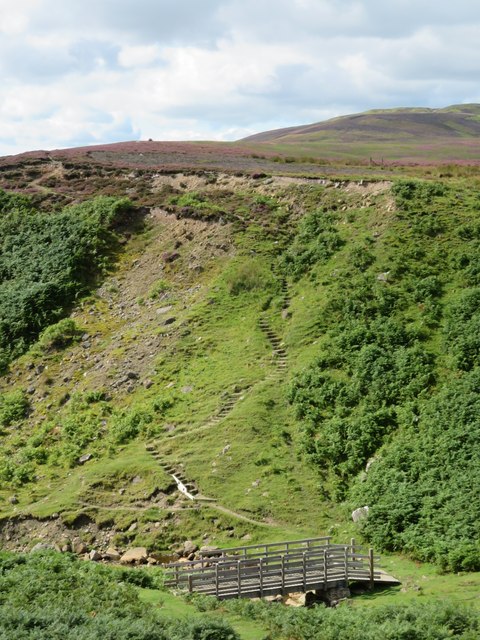
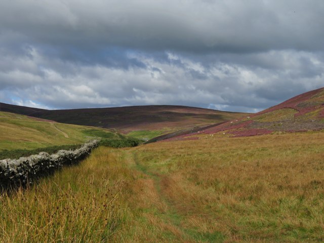
Turf Moor Images

Images are sourced within 2km of 54.412217/-2.010983 or Grid Reference NY9901. Thanks to Geograph Open Source API. All images are credited.

Bleaberry Gill Ford This is Bleaberry Gill Ford shown under a Hunter Moon.
Bleaberry Gill Ford
This is Bleaberry Gill Ford shown under a Hunter Moon.
Cringley Ford This is another ford on Blueberry Gill.
Cringley Ford
This is another ford on Blueberry Gill.
Track leading onto Turf Moor Heads away from the moorland road between Arkengarthdale and Low Row
Track leading onto Turf Moor
Heads away from the moorland road between Arkengarthdale and Low Row
On Turf Moor Moorland road between Low Row in Swaledale and Arkengarthdale
On Turf Moor
Moorland road between Low Row in Swaledale and Arkengarthdale
Moorland Track on Surrender Moss
Wetshaw Bottom
Wetshaw Bottom
Moorland Track heading North West to Surrender Ground
Moorland Track descending over Barras End
Kay Hushes The landscape has taken heavy punishment from a long dead lead mining industry
Kay Hushes
The landscape has taken heavy punishment from a long dead lead mining industry
Mine spoil and trees above Arkengarthdale The mine spoil appears to be finally divided and might be crushed material, waste from the initial processing of ore once it was mined. The trees are in the upper part of Tottergill Pasture.
The valley of Shaw Beck is sunlit in the distance.
Mine spoil and trees above Arkengarthdale
The mine spoil appears to be finally divided and might be crushed material, waste from the initial processing of ore once it was mined. The trees are in the upper part of Tottergill Pasture. The valley of Shaw Beck is sunlit in the distance.
Mine spoil heap close to Martin Vein The spoil heap is one of many on this area of moorland. This is a small feature in a complex area of old mine workings, the most striking of which is the Stodart Hush which is a short distance to the north of this location - <a title="https://www.geograph.org.uk/photo/3120587" href="https://www.geograph.org.uk/photo/3120587">Link</a> .
Mine spoil heap close to Martin Vein
The spoil heap is one of many on this area of moorland. This is a small feature in a complex area of old mine workings, the most striking of which is the Stodart Hush which is a short distance to the north of this location - Link .
Walking party crossing mined ground The location is to the east of the summit, Great Pinseat, on the south side of Arkengarthdale. Historically the area has been extensively mined for lead resulting in the visual damage to the landscape but also the sparsity of the vegetation.
Walking party crossing mined ground
The location is to the east of the summit, Great Pinseat, on the south side of Arkengarthdale. Historically the area has been extensively mined for lead resulting in the visual damage to the landscape but also the sparsity of the vegetation.
Desolate, mined ground above Arkengarthdale This is moorland east of the summit at Great Pinseat which has been extensively mined for lead over a number of centuries.
Arkengarthdale lies beyond with its northern side mainly shadowed.
Desolate, mined ground above Arkengarthdale
This is moorland east of the summit at Great Pinseat which has been extensively mined for lead over a number of centuries. Arkengarthdale lies beyond with its northern side mainly shadowed.
Surrender Smelt Mill, old chimney The ruin is that of the original chimney where the flue terminated having carried fumes from the lead smelting process in the Surrender Mill, below in the valley. The flue was extended at a later time to at least one other chimney higher on the moor.
Surrender Smelt Mill, old chimney
The ruin is that of the original chimney where the flue terminated having carried fumes from the lead smelting process in the Surrender Mill, below in the valley. The flue was extended at a later time to at least one other chimney higher on the moor.
Old Boundary Marker at Fore Gill Gate Parish Boundary Marker on the east side of the minor road at Fore Gill Gate between Langthwaite and Feetham. Before 1866 this might have marked the boundary of Grinton and Arkengarthdate parishes, but now on the boundary of Arkengarthdale and Reeth, Fremington and Healaugh parishes.

Milestone Society National ID: YN_REEARK05pb
Old Boundary Marker at Fore Gill Gate
Parish Boundary Marker on the east side of the minor road at Fore Gill Gate between Langthwaite and Feetham. Before 1866 this might have marked the boundary of Grinton and Arkengarthdate parishes, but now on the boundary of Arkengarthdale and Reeth, Fremington and Healaugh parishes. Milestone Society National ID: YN_REEARK05pb
Bridge and steps at Cringley Bottom The bridge replaces one first erected some 12 years ago. On the far side are some 82 steps which make the ascent to the moor edge rather easier. There could be further improvements here using new funding, as the Coast to Coast path is now designated as an official long distance path.
Bridge and steps at Cringley Bottom
The bridge replaces one first erected some 12 years ago. On the far side are some 82 steps which make the ascent to the moor edge rather easier. There could be further improvements here using new funding, as the Coast to Coast path is now designated as an official long distance path.
Moorland in late summer The view along the wallside above Cringley Bottom, looking towards Fore Gill Gate. On the fellsides the heather is in full bloom.
Moorland in late summer
The view along the wallside above Cringley Bottom, looking towards Fore Gill Gate. On the fellsides the heather is in full bloom.
Grouse butts above Bleaberry Gill I suspect these rather basic wooden butts are along the same line as some stone and turf butts that I photographed in 2012. If so, the butts appear to have gone further 'down market'.
Grouse butts above Bleaberry Gill
I suspect these rather basic wooden butts are along the same line as some stone and turf butts that I photographed in 2012. If so, the butts appear to have gone further 'down market'.
Show me another place!

Turf Moor is located at Grid Ref: NY9901 (Lat: 54.412217, Lng: -2.010983)

Division: North Riding

Administrative County: North Yorkshire

District: Richmondshire

Police Authority: North Yorkshire

What 3 Words

///steamed.specifies.dissolve. Near Bowes, Co. Durham

Nearby Locations

Turf Moor

Related Wikis

Langthwaite

Langthwaite is one of the few villages in Arkengarthdale, North Yorkshire, England. It is 3.5 miles (5.6 km) north of Reeth and sits 870 feet (270 m) above...

Arkle Town

Arkle Town is a hamlet in Arkengarthdale in the Richmondshire district of North Yorkshire, England. It is situated 0.4 miles (0.64 km) to the south of...

Eskeleth

Eskeleth is a hamlet in Arkengarthdale in North Yorkshire, England. It is in the Yorkshire Dales National Park. Eskeleth sits 4 miles (6.4 km) from the...

Booze, North Yorkshire

Booze is a hamlet in Arkengarthdale, in the Richmondshire district of North Yorkshire, England. It is about 1 mile (1.6 km) east of Langthwaite. There...

Arkle Beck Meadows, Whaw

Arkle Beck Meadows, Whaw (grid reference NY984041) is a 8.4 hectares (21 acres) biological Site of Special Scientific Interest (SSSI) at Whaw in Arkengarthdale...

Calver Hill

Calver Hill is a fell in the Yorkshire Dales National Park in North Yorkshire, England. It is composed of limestone and is situated at grid reference NZ012003...

Kearton

Kearton is a hamlet in the Yorkshire Dales, North Yorkshire, England. Kearton is situated near Low Row and Reeth. == References == == External links... ==

Whaw

Whaw is a hamlet in Arkengarthdale in North Yorkshire, England. It is one of few settlements in the dale and is one of the smallest. Its name derives from...

Nearby Amenities

Located within 500m of 54.412217,-2.010983
Snuff Horn Lead Shafts
Historic: mine
Lat/Long: 54.4131655/-2.0167677
Power: pole
Lat/Long: 54.4112274/-2.0075637
Power: pole
Lat/Long: 54.411876/-2.006354
Power: pole
Lat/Long: 54.4124683/-2.0052208
Power: pole
Lat/Long: 54.4130724/-2.0041104
Hunting Stand
Hunting Stand: grouse_butt
Source: aerial imagery
Lat/Long: 54.4100958/-2.01336
Hunting Stand
Hunting Stand: grouse_butt
Source: aerial imagery
Lat/Long: 54.4103545/-2.0137196
Hunting Stand
Hunting Stand: grouse_butt
Source: aerial imagery
Lat/Long: 54.4107069/-2.0141535
Hunting Stand
Hunting Stand: grouse_butt
Source: aerial imagery
Lat/Long: 54.4110044/-2.0146209
Hunting Stand
Hunting Stand: grouse_butt
Source: aerial imagery
Lat/Long: 54.4113285/-2.0151428
Hunting Stand
Hunting Stand: grouse_butt
Source: aerial imagery
Lat/Long: 54.4116534/-2.0156435
Hunting Stand
Hunting Stand: grouse_butt
Source: aerial imagery
Lat/Long: 54.4119669/-2.0161321
Hunting Stand
Hunting Stand: grouse_butt
Source: aerial imagery
Lat/Long: 54.4122715/-2.0166146
Hunting Stand
Hunting Stand: grouse_butt
Source: aerial imagery
Lat/Long: 54.4125647/-2.0170667
Hunting Stand
Hunting Stand: grouse_butt
Source: aerial imagery
Lat/Long: 54.4090495/-2.0126852
Hunting Stand
Hunting Stand: grouse_butt
Source: aerial imagery
Lat/Long: 54.4089953/-2.0131994
Hunting Stand
Hunting Stand: grouse_butt
Source: aerial imagery
Lat/Long: 54.4089441/-2.0137825
Hunting Stand
Hunting Stand: grouse_butt
Source: aerial imagery
Lat/Long: 54.4088728/-2.0143885
Hunting Stand
Hunting Stand: grouse_butt
Source: aerial imagery
Lat/Long: 54.4088074/-2.0150584
Hunting Stand
Hunting Stand: grouse_butt
Source: aerial imagery
Lat/Long: 54.4087376/-2.0156861
Hunting Stand
Hunting Stand: grouse_butt
Source: aerial imagery
Lat/Long: 54.4091149/-2.0121113
The data included in this document is from www.openstreetmap.org. The data is made available under ODbL.

Have you been to Turf Moor?

Leave your review of Turf Moor below (or comments, questions and feedback).