Rylstone Fell
Downs, Moorland in Yorkshire Craven
England
Rylstone Fell

Rylstone Fell is a picturesque area located in the county of Yorkshire in northern England. Situated amidst the stunning Yorkshire Downs and Moorland, this region is known for its natural beauty and breathtaking landscapes.
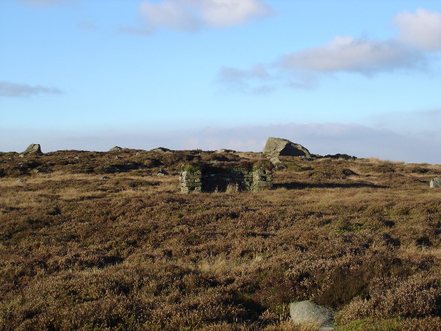
Covering an expansive area, Rylstone Fell offers a diverse range of terrains, including rolling hills, heather-covered moors, and rugged cliffs. The ruggedness of the terrain gives it a wild and untamed charm that attracts visitors from far and wide. The fell is also home to numerous streams and rivers that meander through the landscape, adding to its allure.
The flora and fauna found in Rylstone Fell are rich and varied. The moorland is adorned with vibrant purple heather during the summer months, creating a carpet of color. This environment provides a habitat for a wide range of bird species, including grouse, lapwings, and curlews. Visitors may also encounter other wildlife such as hares, deer, and foxes.
For outdoor enthusiasts, Rylstone Fell offers a plethora of activities. Hiking and walking trails crisscross the area, allowing visitors to explore its natural wonders. The fell is also a haven for climbers, with its rocky outcrops providing opportunities for both novice and experienced climbers.
The nearby village of Rylstone offers a charming base for those wishing to explore the area. With its traditional stone buildings and friendly locals, it provides a warm welcome to visitors. The village is also known for its historic church, which dates back several centuries.
In summary, Rylstone Fell in Yorkshire is a captivating destination for nature lovers and outdoor enthusiasts. Its diverse landscapes, abundant wildlife, and range of activities make it a must-visit location for those seeking to immerse themselves in the beauty of the Yorkshire Downs and Moorland.
If you have any feedback on the listing, please let us know in the comments section below.
Rylstone Fell Images
Images are sourced within 2km of 54.018788/-2.0102203 or Grid Reference SD9958. Thanks to Geograph Open Source API. All images are credited.


![View from the bottom Barden Upper Reservoir dried up completely in the 1995 drought and Yorkshire Water took the opportunity to repair the valve tower and bridge piers. This is a view from the bottom of the reservoir [not public access; I was there as a construction worker].](https://s0.geograph.org.uk/photos/23/58/235848_41dd203b.jpg)


Rylstone Fell is located at Grid Ref: SD9958 (Lat: 54.018788, Lng: -2.0102203)
Division: West Riding
Administrative County: North Yorkshire
District: Craven
Police Authority: North Yorkshire
What 3 Words
///household.duties.bangle. Near Embsay, North Yorkshire
Nearby Locations
Related Wikis
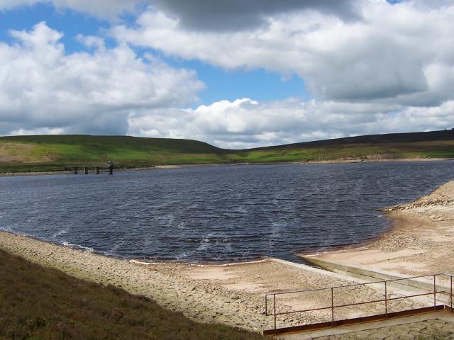
Upper Barden Reservoir
Upper Barden Reservoir is an upland fresh water reservoir, one of two reservoirs that collect water from Barden Moor, and dam Barden Beck, a tributary...

Thorpe Fell Top
Thorpe Fell Top is the top of the hill of Burnsall and Thorpe Fell in the Yorkshire Dales, itself forming part of a larger wedge of ground between Wharfedale...
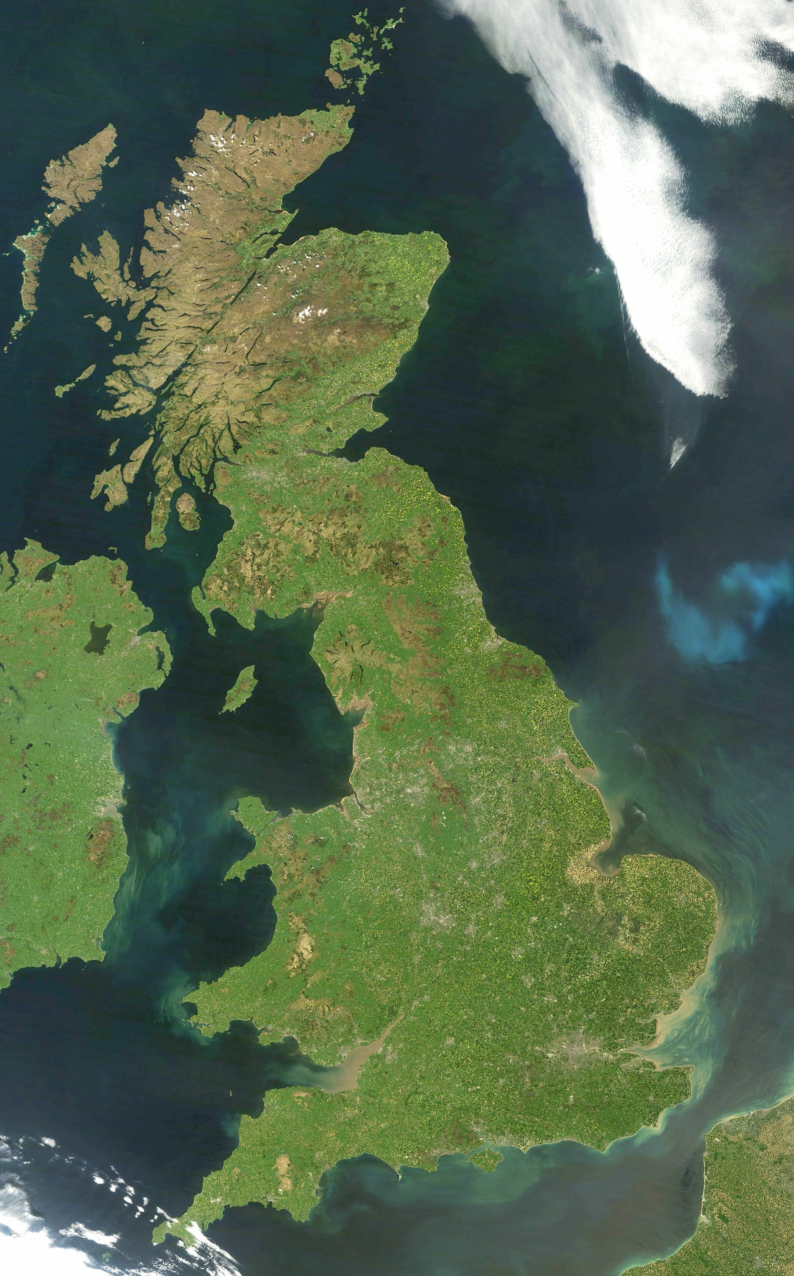
Great Britain
Great Britain is an island in the North Atlantic Ocean off the north-west coast of continental Europe, consisting of England, Scotland and Wales. With...

Yorkshire dialect
The Yorkshire dialect (also known as Broad Yorkshire, Tyke, Yorkie, or Yorkshire English) is a dialect of English, or continuum of dialects, spoken in...

Yorkshire
Yorkshire ( YORK-shər, -sheer) is a historic county in Northern England and the largest by area size in the United Kingdom. Because of its large area...

St Peter's Church, Rylstone
St Peter's Church is in the village of Rylstone, North Yorkshire, England. It is an active Anglican parish church in the deanery of Skipton, the archdeaconry...

Rylstone
Rylstone is a village and civil parish in the Craven district of North Yorkshire, England. It is situated very near to Cracoe and about 6 miles south west...

Cracoe
Cracoe is a small village and civil parish in the Craven district of North Yorkshire, England. It is situated near to Rylstone and about 6 miles south...
Nearby Amenities
Located within 500m of 54.018788,-2.0102203Have you been to Rylstone Fell?
Leave your review of Rylstone Fell below (or comments, questions and feedback).