Kemping Moss
Downs, Moorland in Northumberland
England
Kemping Moss
Kemping Moss is a picturesque area located in Northumberland, England, known for its stunning downs and moorland landscapes. Situated amidst the rolling hills and vast open spaces, this region offers visitors a truly immersive and tranquil camping experience.
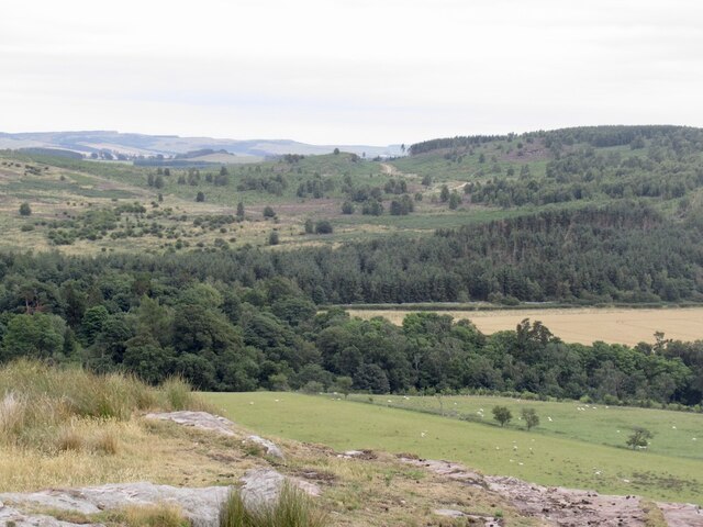
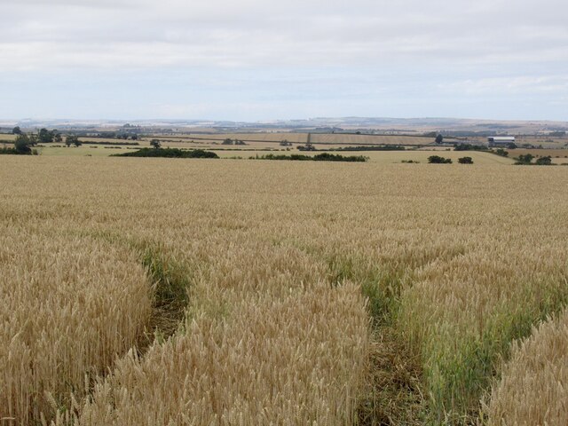
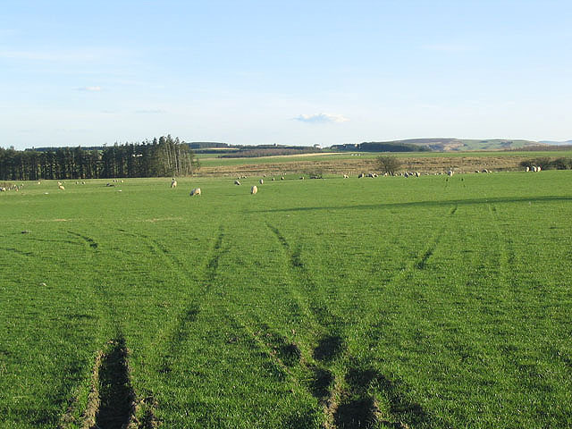
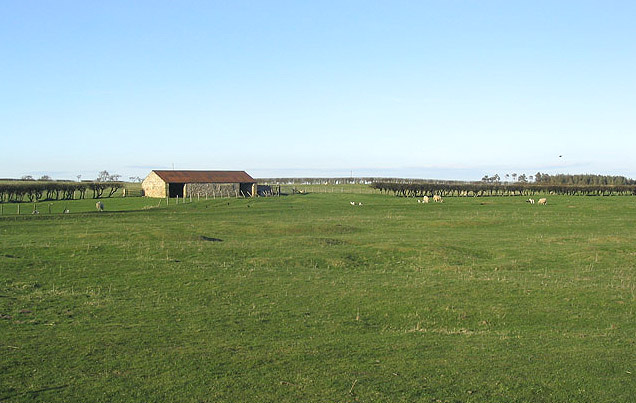
The downs of Kemping Moss are characterized by their gently sloping hills and expansive grasslands. These downs provide the perfect setting for campers to pitch their tents and enjoy panoramic views of the surrounding countryside. The lush greenery and abundant wildlife add to the charm of this area, making it an ideal destination for nature enthusiasts and bird watchers.
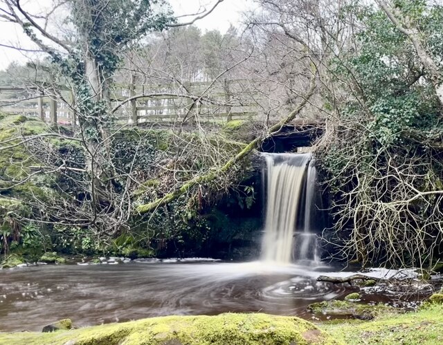
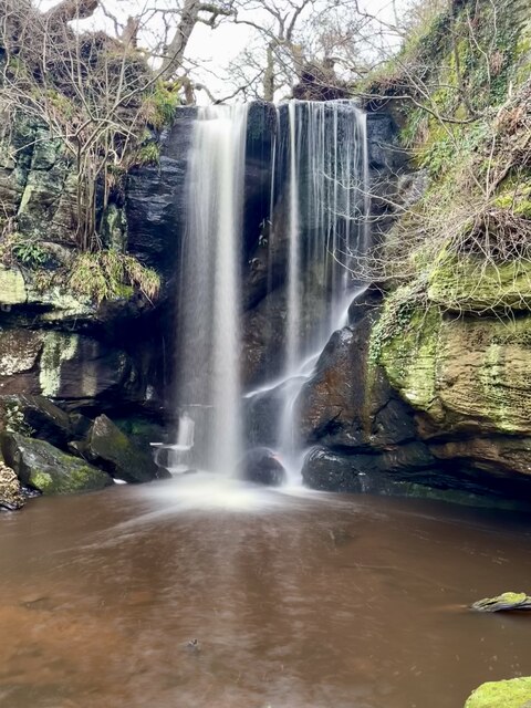
In contrast, the moorland of Kemping Moss offers a more rugged and wild atmosphere. With its heather-covered hills, rocky outcrops, and winding trails, this terrain is perfect for hikers and adventure seekers. Campers can explore the moorland, discovering hidden waterfalls, ancient ruins, and breathtaking vistas along the way.
Kemping Moss is well-equipped for camping, with several designated campsites offering basic amenities such as toilets, showers, and picnic areas. Campers can also find local shops and markets nearby to stock up on supplies and indulge in some local produce.
Whether it's a peaceful retreat amidst the downs or an exhilarating adventure on the moorland, Kemping Moss in Northumberland offers something for everyone. The untouched beauty of this area, combined with its accessibility and range of activities, makes it a popular destination for both locals and tourists alike.
If you have any feedback on the listing, please let us know in the comments section below.
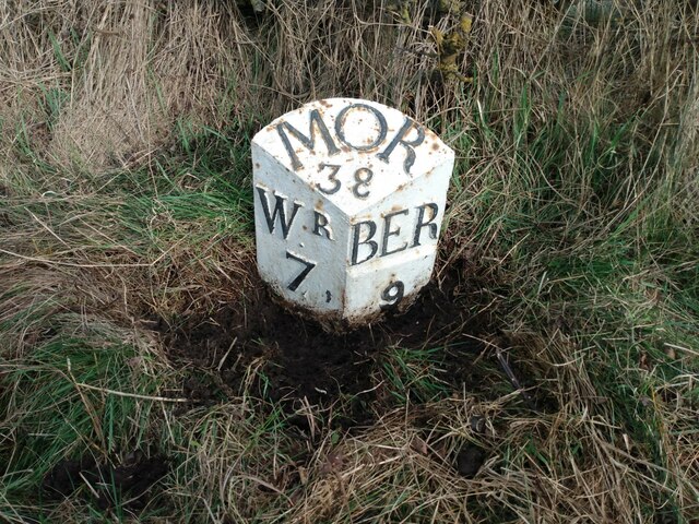
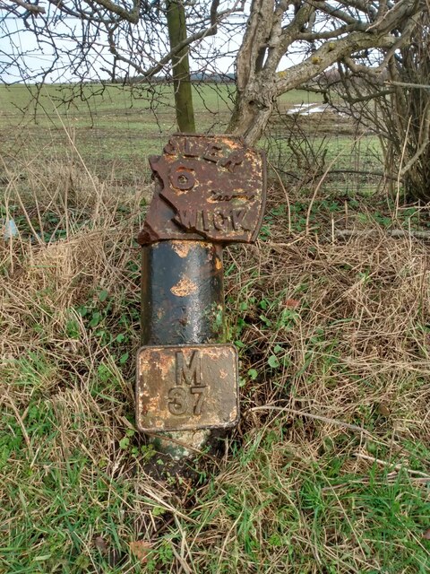
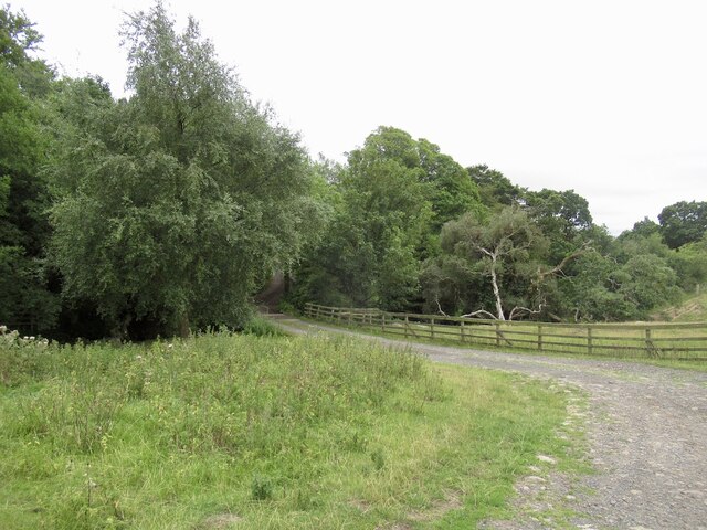
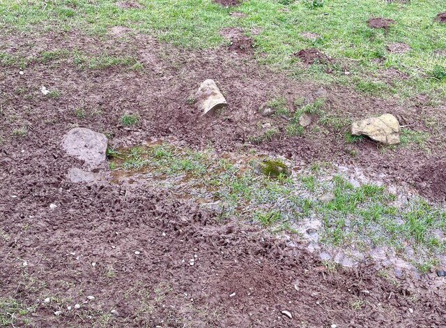
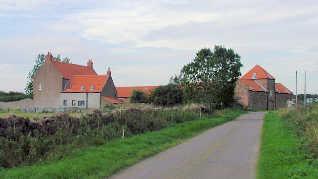
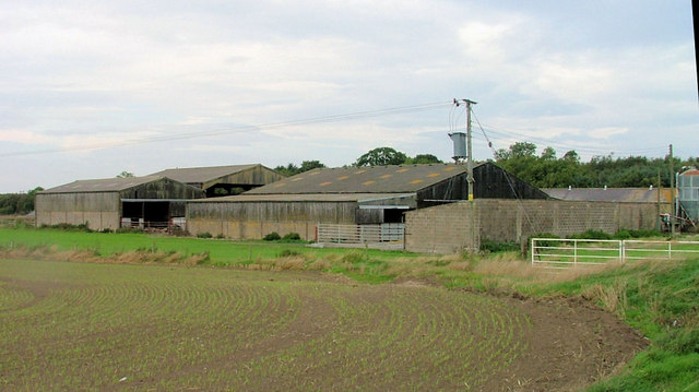
Kemping Moss Images
Images are sourced within 2km of 55.632407/-2.0051989 or Grid Reference NT9937. Thanks to Geograph Open Source API. All images are credited.


Kemping Moss is located at Grid Ref: NT9937 (Lat: 55.632407, Lng: -2.0051989)
Unitary Authority: Northumberland
Police Authority: Northumbria
What 3 Words
///ironclad.unique.cello. Near Lowick, Northumberland
Nearby Locations
Related Wikis
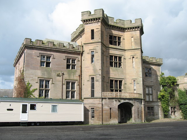
Barmoor Castle
Barmoor Castle ( grid reference NT99723988) is a privately owned 19th-century country house built on an ancient site in Northumberland. It is a Grade...
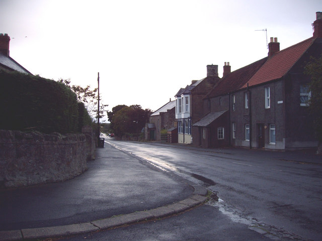
Lowick, Northumberland
Lowick () is a village in Northumberland, north east England. Lowick lies on the B6353 road, about 10 miles (16 km) south of Berwick-upon-Tweed. The Anglican...

Bowsden
Bowsden is a village and civil parish in Northumberland, England. It is about 6 miles (10 km) to the south of Berwick-upon-Tweed, inland from the North...

Nesbit, Northumberland
Nesbit is a hamlet and former civil parish, now in the parish of Doddington, Northumberland, England. It was once the site of a medieval village. In maps...

Holburn
Holburn is a hamlet in the English county of Northumberland. Holburn is located between Lowick and Belford. == Governance == Holburn is in the parliamentary...

Ford, Northumberland
Ford is a small village and civil parish in Northumberland, England, about 13 miles (21 km) from Berwick-upon-Tweed. The parish also includes Etal. �...

Lady Waterford Hall
Lady Waterford Hall is the former village school of the estate village of Ford, Northumberland. It is now used as the village hall and is a Grade II* listed...

Kyloe
Kyloe is a civil parish in the county of Northumberland, about 8 miles (13 km) south-east of Berwick-upon-Tweed. According to the parish council, the main...
Nearby Amenities
Located within 500m of 55.632407,-2.0051989Have you been to Kemping Moss?
Leave your review of Kemping Moss below (or comments, questions and feedback).