Newhouse Gill Pasture

Downs, Moorland in Yorkshire Richmondshire

England

Newhouse Gill Pasture

Kidstones Gill Bridge This top stone is on the western parapet of Kidstones Gill Bridge in Bishopdale. The benchmark is still very well defined.
Kidstones Gill Bridge Credit: Mel Towler

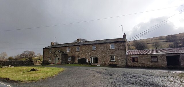
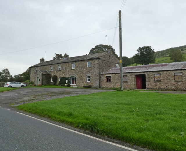
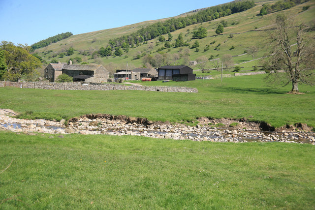
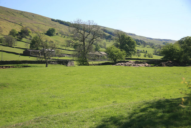
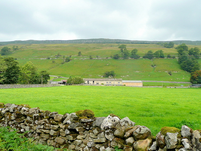
Newhouse Gill Pasture is a picturesque area located in the region of Yorkshire, England. Situated amidst the beautiful landscape of the Yorkshire Downs and Moorland, this pasture offers a stunning natural environment for visitors to explore and enjoy.

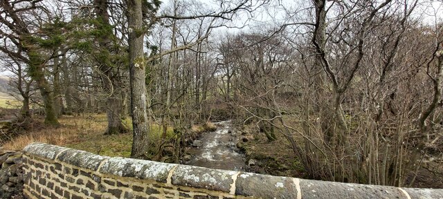
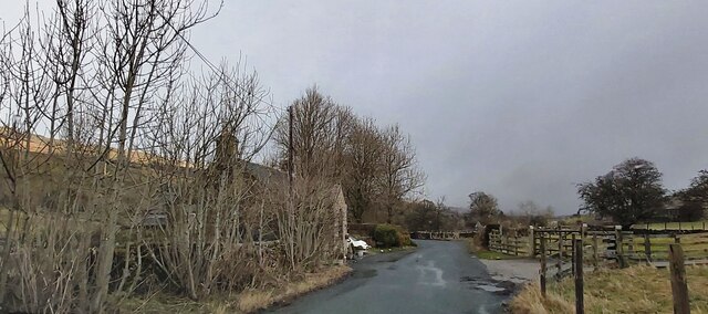
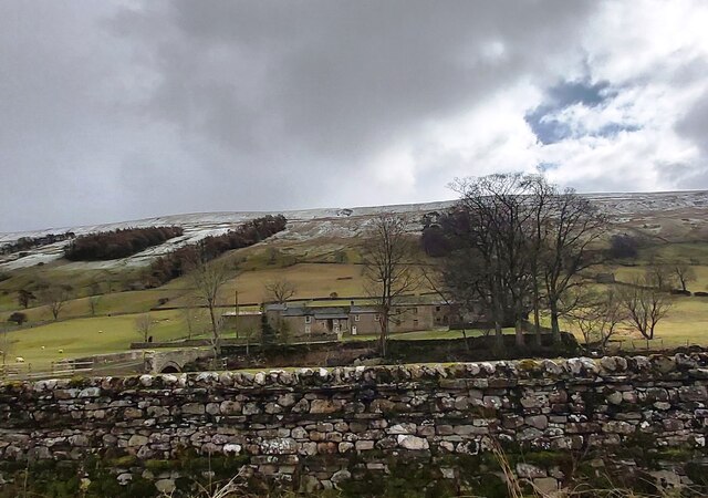
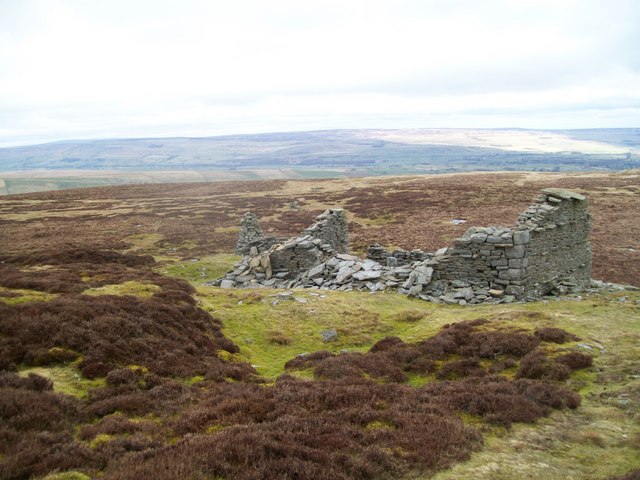
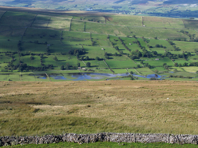
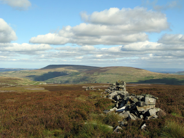
Covering a vast expanse of rolling hills and meadows, Newhouse Gill Pasture is renowned for its breathtaking views and serene atmosphere. The Downs provide a gentle, undulating landscape that is adorned with vibrant wildflowers during the spring and summer months. The Moorland, on the other hand, offers a more rugged terrain, characterized by heather-covered moors and rocky outcrops.

The pasture is home to a diverse range of flora and fauna, making it a haven for nature enthusiasts. Visitors can spot various species of birds, including skylarks and curlews, as they soar through the clear blue skies. The rich biodiversity of the area also supports a variety of mammals, such as hares and deer, which can often be seen grazing in the meadows.

For those who enjoy outdoor activities, Newhouse Gill Pasture offers an array of opportunities. Walking and hiking trails crisscross the landscape, allowing visitors to explore the area at their own pace. The pasture is also popular amongst photographers and artists, who are drawn to its natural beauty and unique charm.

In summary, Newhouse Gill Pasture in Yorkshire is a stunning location that showcases the best of the region's Downs and Moorland. With its breathtaking views, diverse wildlife, and abundant outdoor activities, it is a must-visit destination for nature lovers and adventurers alike.

If you have any feedback on the listing, please let us know in the comments section below.

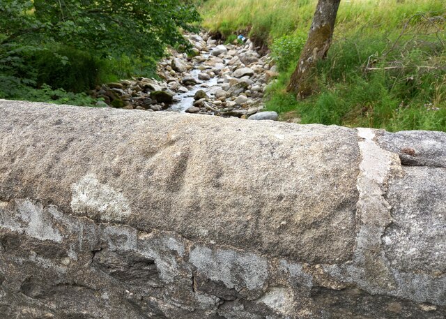
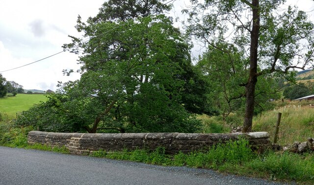
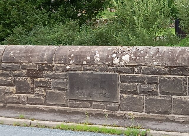
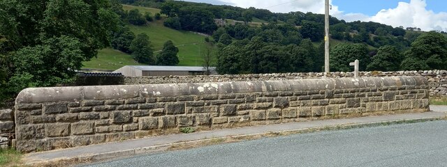
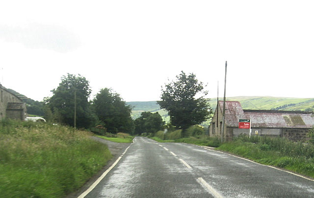
Newhouse Gill Pasture Images

Images are sourced within 2km of 54.2471/-2.0368731 or Grid Reference SD9783. Thanks to Geograph Open Source API. All images are credited.

Kidstones Gill Bridge This top stone is on the western parapet of Kidstones Gill Bridge in Bishopdale. The benchmark is still very well defined.
Kidstones Gill Bridge
This top stone is on the western parapet of Kidstones Gill Bridge in Bishopdale. The benchmark is still very well defined.
Kidstones Gill Bridge A wider angle showing the full span of the western parapet of Kidstones Gill Bridge in Bishopdale. There is a benchmark cut into one of the top stones on this parapet, and it remains very clear and defined.
Kidstones Gill Bridge
A wider angle showing the full span of the western parapet of Kidstones Gill Bridge in Bishopdale. There is a benchmark cut into one of the top stones on this parapet, and it remains very clear and defined.
Hargill Bridge Hargill Bridge in Bishopdale crosses Hargill. This date stone is on the eastern parapet. The bridge remains in very good maintained state.
Hargill Bridge
Hargill Bridge in Bishopdale crosses Hargill. This date stone is on the eastern parapet. The bridge remains in very good maintained state.
Hargill Bridge This is the western parapet of Hargill Bridge in Bishopdale, which crosses Hargill. The bridge was rebuilt in 1942, as stated on a date stone on the opposite parapet.
Hargill Bridge
This is the western parapet of Hargill Bridge in Bishopdale, which crosses Hargill. The bridge was rebuilt in 1942, as stated on a date stone on the opposite parapet.
Bishopdale, old schoolhouse The old schoolhouse is on the west side of the B6160, Bishopdale Lane. On the road facing wall, to the left, there is a benchmark cut into the 2nd and 3rd stone courses. It remains very clear with no wear.
Bishopdale, old schoolhouse
The old schoolhouse is on the west side of the B6160, Bishopdale Lane. On the road facing wall, to the left, there is a benchmark cut into the 2nd and 3rd stone courses. It remains very clear with no wear.
Bishopdale, old schoolhouse A wider angle showing the old schoolhouse, which is now converted into a private home, which is on the west side of the B6160, Bishopdale Lane. On the road facing wall, to the left of the grey front door, is a benchmark cut into the 2nd and 3rd stone courses. It remains very clear with no wear.
Bishopdale, old schoolhouse
A wider angle showing the old schoolhouse, which is now converted into a private home, which is on the west side of the B6160, Bishopdale Lane. On the road facing wall, to the left of the grey front door, is a benchmark cut into the 2nd and 3rd stone courses. It remains very clear with no wear.
Kidstones Gill
Kidstones Gill
The Old School House - Bishopdale
Myers Garth Farm
Myers Garth Farm
East Lane House
East Lane House
East Lane House
East Lane House
Ruin on Wasset Fell The ruined remains of one of the buildings that was part of the mine workings, now disused.
Ruin on Wasset Fell
The ruined remains of one of the buildings that was part of the mine workings, now disused.
A view from Bishopsdale Lane across the fields
Myers Garth in the distance
Roughly grassed enclosure below Wasset Fell Road Wasset Fell road descends to Newbiggin from the high ridge on the south-east side of Bishopdale. The view here is from the road at Floutgate Scar over fields to the valley bottom where flooding testifies to the extent of recent rain.
Roughly grassed enclosure below Wasset Fell Road
Wasset Fell road descends to Newbiggin from the high ridge on the south-east side of Bishopdale. The view here is from the road at Floutgate Scar over fields to the valley bottom where flooding testifies to the extent of recent rain.
Ruined wall north-east of Naughtberry Hill A ruined wall crossing the heather moor with Pen Hill seen distantly across Waldendale.
Ruined wall north-east of Naughtberry Hill
A ruined wall crossing the heather moor with Pen Hill seen distantly across Waldendale.
New House Farm High Scar is the rocky outcrop way above the Bishopdale valley floor.
New House Farm
High Scar is the rocky outcrop way above the Bishopdale valley floor.
B6160 at East Lane House
Show me another place!

Newhouse Gill Pasture is located at Grid Ref: SD9783 (Lat: 54.2471, Lng: -2.0368731)

Division: North Riding

Administrative County: North Yorkshire

District: Richmondshire

Police Authority: North Yorkshire

What 3 Words

///shuffles.soggy.meanwhile. Near Leyburn, North Yorkshire

Related Wikis

Bishopdale, North Yorkshire

Bishopdale is a dale in the Yorkshire Dales National Park in North Yorkshire, England. The dale is a side dale on the south side of Wensleydale, and extends...

Walden Head

Walden Head is a hamlet in the Yorkshire Dales, North Yorkshire. It lies 5 miles (8 km) of Aysgarth and to the north is a similar village Walden. The village...

Newbiggin, south Wensleydale

Newbiggin is a village and civil parish in Bishopdale, a side dale on the south side of Wensleydale, in the Yorkshire Dales in North Yorkshire, England...

Burton-cum-Walden

Burton-cum-Walden is a civil parish in North Yorkshire, England, in the Yorkshire Dales National Park. It had a population of 303 according to the 2011...

Have you been to Newhouse Gill Pasture?

Leave your review of Newhouse Gill Pasture below (or comments, questions and feedback).