Bollihope Common
Downs, Moorland in Durham
England
Bollihope Common

Bollihope Common is a vast expanse of moorland located in County Durham, England. Spanning approximately 1,000 hectares, it is situated in the North Pennines Area of Outstanding Natural Beauty. The common lies around 12 miles southwest of Durham city and is easily accessible via the B6278 road.
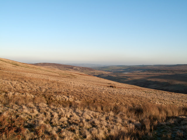
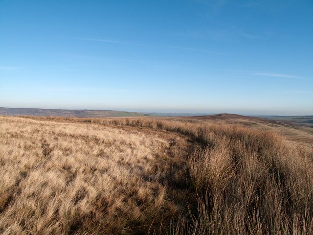
The landscape of Bollihope Common is characterized by rolling hills, heather-clad moors, and deep valleys, creating a picturesque and rugged terrain. The area is renowned for its natural beauty and is a haven for wildlife and plant species. Visitors can expect to see a variety of birdlife, including buzzards, curlews, and grouse, as well as an array of wildflowers in the summer months.
In addition to its natural wonders, Bollihope Common boasts a rich cultural heritage. The common was once dotted with lead mines, evidence of which can still be seen today in the form of mine shafts and ruins. These remnants serve as a reminder of the area's industrial past and offer a glimpse into the lives of the miners who once worked here.
Bollihope Common is a popular destination for outdoor enthusiasts, offering numerous walking and hiking trails. The Bollihope Burn, a small river that winds its way through the common, provides a scenic backdrop for leisurely strolls. The common also offers opportunities for picnicking, wildlife spotting, and photography.
Overall, Bollihope Common is a captivating and unspoiled landscape that offers visitors a chance to immerse themselves in the natural beauty and rich heritage of the Durham countryside.
If you have any feedback on the listing, please let us know in the comments section below.
Bollihope Common Images
Images are sourced within 2km of 54.700904/-2.0374726 or Grid Reference NY9733. Thanks to Geograph Open Source API. All images are credited.


Bollihope Common is located at Grid Ref: NY9733 (Lat: 54.700904, Lng: -2.0374726)
Unitary Authority: County Durham
Police Authority: Durham
What 3 Words
///jugs.asleep.exists. Near Stanhope, Co. Durham
Nearby Locations
Related Wikis

Cornish Hush Mine
The Cornish Hush Mine was a British lead ore and fluorspar mine in Weardale. == Location == The mine was located in the Howden Burn valley in the Bollihope...

West Newlandside Meadows
West Newlandside Meadows is a Site of Special Scientific Interest in the Wear Valley district of County Durham, England. It lies 3 km south-west of the...
Hill End, County Durham
Hill End is a village in the civil parish of Stanhope, in County Durham, England. It is situated on the south side of Weardale, near Frosterley. ��2�...
Fairy Holes Cave
Fairy Holes Cave is a Site of Special Scientific Interest in the Wear Valley district of west County Durham, England. It is located on the western flanks...
Nearby Amenities
Located within 500m of 54.700904,-2.0374726Have you been to Bollihope Common?
Leave your review of Bollihope Common below (or comments, questions and feedback).