Ribba Hill Pasture

Downs, Moorland in Yorkshire Richmondshire

England

Ribba Hill Pasture

Kidstones Gill Bridge This top stone is on the western parapet of Kidstones Gill Bridge in Bishopdale. The benchmark is still very well defined.
Kidstones Gill Bridge Credit: Mel Towler

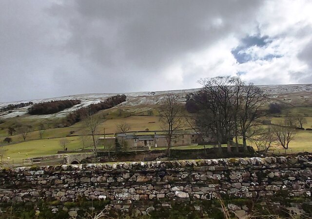
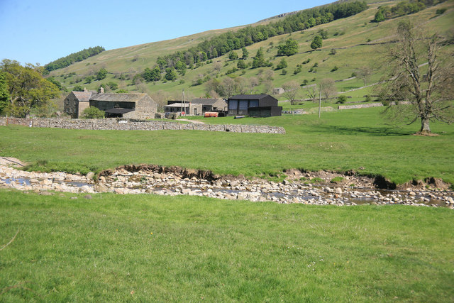
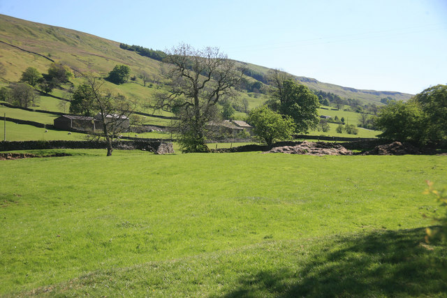
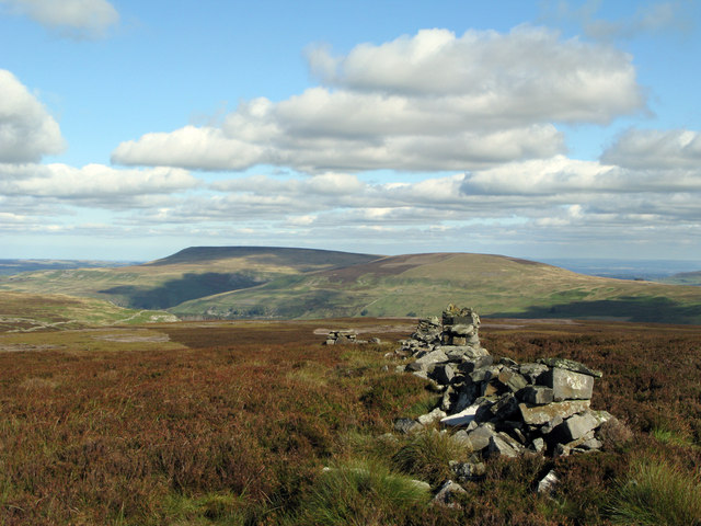
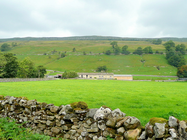
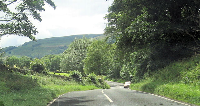
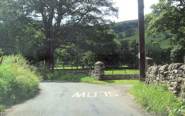
Ribba Hill Pasture is a picturesque countryside location situated in the heart of Yorkshire, England. The area is renowned for its stunning landscape, characterized by rolling hills, expansive moorlands, and lush green pastures. It is a popular destination for nature lovers, hikers, and outdoor enthusiasts seeking to immerse themselves in the beauty of the Yorkshire Downs.

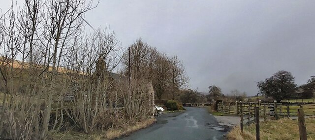
The pasture, covering a vast area, is home to a diverse range of flora and fauna. Visitors can expect to encounter an array of wildflowers, including heather, thistles, and daisies, which create a colorful tapestry across the hillsides. The moorland areas are dotted with grazing sheep, adding to the picturesque rural charm of the region.

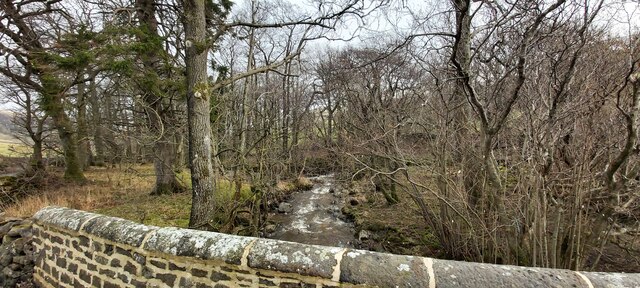
Ribba Hill Pasture offers breathtaking panoramic views from its elevated position, allowing visitors to appreciate the vast expanse of the Yorkshire countryside. On clear days, it is even possible to catch a glimpse of the distant Yorkshire Dales in the distance.

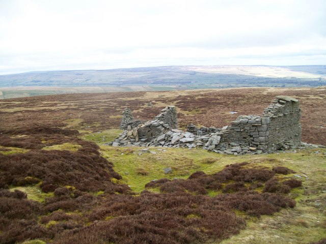
The area is crisscrossed with walking trails and footpaths, providing ample opportunities for exploration. Hikers can embark on scenic routes that wind through the rolling hills, offering breathtaking vistas at every turn. Along the way, they may encounter historical landmarks, such as ancient stone circles or remnants of old mining operations, which add a touch of intrigue to the pastoral setting.

Overall, Ribba Hill Pasture is a haven of natural beauty, offering visitors a tranquil escape from the bustle of everyday life. Whether it's a leisurely stroll, a challenging hike, or simply a moment of solitude surrounded by nature, this Yorkshire gem has something to offer everyone.

If you have any feedback on the listing, please let us know in the comments section below.

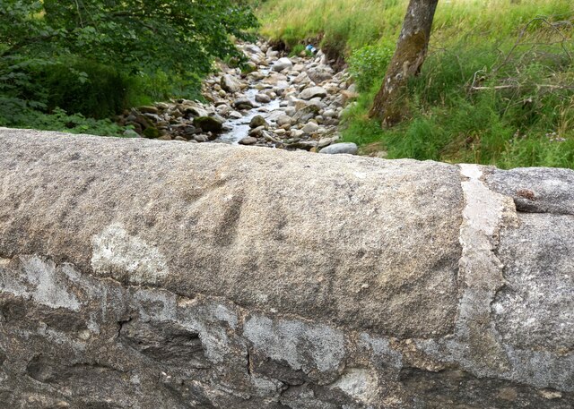
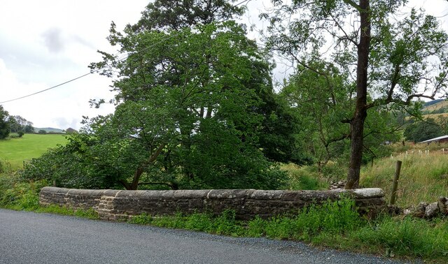
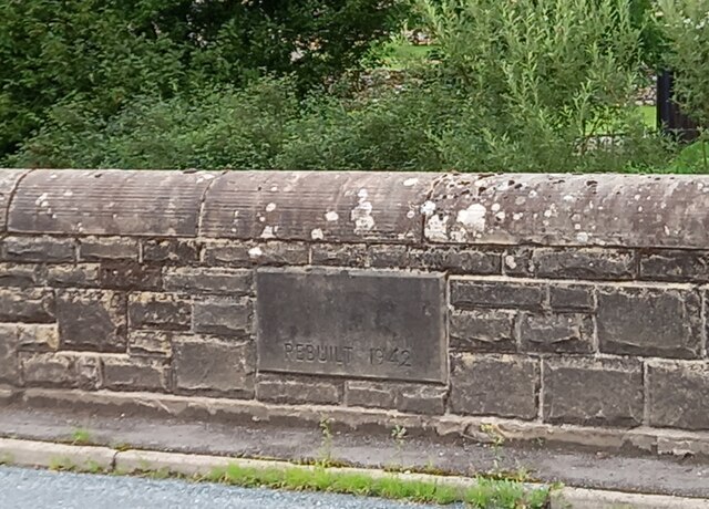
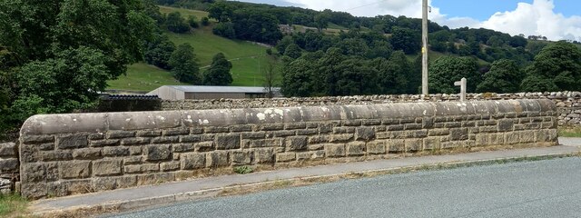
Ribba Hill Pasture Images

Images are sourced within 2km of 54.24424/-2.0432081 or Grid Reference SD9783. Thanks to Geograph Open Source API. All images are credited.

Kidstones Gill Bridge This top stone is on the western parapet of Kidstones Gill Bridge in Bishopdale. The benchmark is still very well defined.
Kidstones Gill Bridge
This top stone is on the western parapet of Kidstones Gill Bridge in Bishopdale. The benchmark is still very well defined.
Kidstones Gill Bridge A wider angle showing the full span of the western parapet of Kidstones Gill Bridge in Bishopdale. There is a benchmark cut into one of the top stones on this parapet, and it remains very clear and defined.
Kidstones Gill Bridge
A wider angle showing the full span of the western parapet of Kidstones Gill Bridge in Bishopdale. There is a benchmark cut into one of the top stones on this parapet, and it remains very clear and defined.
Hargill Bridge Hargill Bridge in Bishopdale crosses Hargill. This date stone is on the eastern parapet. The bridge remains in very good maintained state.
Hargill Bridge
Hargill Bridge in Bishopdale crosses Hargill. This date stone is on the eastern parapet. The bridge remains in very good maintained state.
Hargill Bridge This is the western parapet of Hargill Bridge in Bishopdale, which crosses Hargill. The bridge was rebuilt in 1942, as stated on a date stone on the opposite parapet.
Hargill Bridge
This is the western parapet of Hargill Bridge in Bishopdale, which crosses Hargill. The bridge was rebuilt in 1942, as stated on a date stone on the opposite parapet.
Bishopdale, old schoolhouse The old schoolhouse is on the west side of the B6160, Bishopdale Lane. On the road facing wall, to the left, there is a benchmark cut into the 2nd and 3rd stone courses. It remains very clear with no wear.
Bishopdale, old schoolhouse
The old schoolhouse is on the west side of the B6160, Bishopdale Lane. On the road facing wall, to the left, there is a benchmark cut into the 2nd and 3rd stone courses. It remains very clear with no wear.
Bishopdale, old schoolhouse A wider angle showing the old schoolhouse, which is now converted into a private home, which is on the west side of the B6160, Bishopdale Lane. On the road facing wall, to the left of the grey front door, is a benchmark cut into the 2nd and 3rd stone courses. It remains very clear with no wear.
Bishopdale, old schoolhouse
A wider angle showing the old schoolhouse, which is now converted into a private home, which is on the west side of the B6160, Bishopdale Lane. On the road facing wall, to the left of the grey front door, is a benchmark cut into the 2nd and 3rd stone courses. It remains very clear with no wear.
Kidstones Gill
Kidstones Gill
The Old School House - Bishopdale
Myers Garth Farm
Myers Garth Farm
Ruin on Wasset Fell The ruined remains of one of the buildings that was part of the mine workings, now disused.
Ruin on Wasset Fell
The ruined remains of one of the buildings that was part of the mine workings, now disused.
A view from Bishopsdale Lane across the fields
Myers Garth in the distance
Ruined wall north-east of Naughtberry Hill A ruined wall crossing the heather moor with Pen Hill seen distantly across Waldendale.
Ruined wall north-east of Naughtberry Hill
A ruined wall crossing the heather moor with Pen Hill seen distantly across Waldendale.
New House Farm High Scar is the rocky outcrop way above the Bishopdale valley floor.
New House Farm
High Scar is the rocky outcrop way above the Bishopdale valley floor.
Howesyke Farm entrance from B6160
B6160 just west of West Lane House
B6160 from New Gill entrance
Gateway to The Rookery From B6160
Gateway to The Rookery
From B6160
Show me another place!

Ribba Hill Pasture is located at Grid Ref: SD9783 (Lat: 54.24424, Lng: -2.0432081)

Division: North Riding

Administrative County: North Yorkshire

District: Richmondshire

Police Authority: North Yorkshire

What 3 Words

///item.guideline.nuptials. Near Leyburn, North Yorkshire

Related Wikis

Bishopdale, North Yorkshire

Bishopdale is a dale in the Yorkshire Dales National Park in North Yorkshire, England. The dale is a side dale on the south side of Wensleydale, and extends...

Walden Head

Walden Head is a hamlet in the Yorkshire Dales, North Yorkshire. It lies 5 miles (8 km) of Aysgarth and to the north is a similar village Walden. The village...

Yorkshire Dales

The Yorkshire Dales are an upland area of the Pennines in England. Most of the area is in the county of North Yorkshire, but it extends into Cumbria and...

Newbiggin, south Wensleydale

Newbiggin is a village and civil parish in Bishopdale, a side dale on the south side of Wensleydale, in the Yorkshire Dales in North Yorkshire, England...

Nearby Amenities

Located within 500m of 54.24424,-2.0432081
Myers Garth Allotment
Natural: moor
Source: os_25k_firstseries
Lat/Long: 54.2448134/-2.0452715
The data included in this document is from www.openstreetmap.org. The data is made available under ODbL.

Have you been to Ribba Hill Pasture?

Leave your review of Ribba Hill Pasture below (or comments, questions and feedback).