Church Field
Downs, Moorland in Staffordshire Stafford
England
Church Field
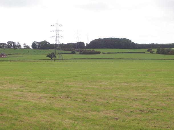
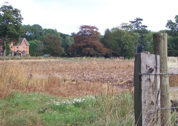
Church Field, Staffordshire, also known as Downs and Moorland, is a picturesque area located in the county of Staffordshire, England. Covering a vast expanse of land, it is renowned for its stunning natural beauty and diverse landscapes.
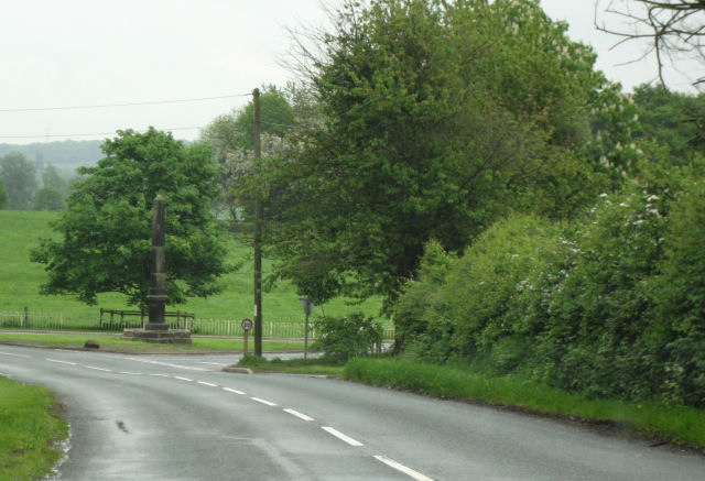
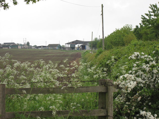
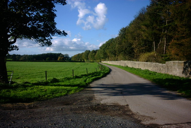
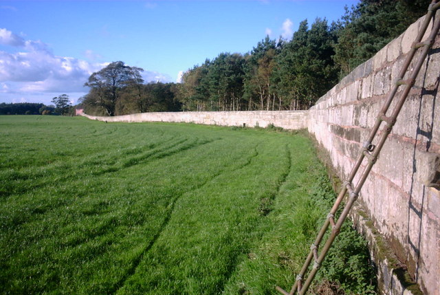
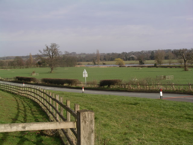
The field is characterized by rolling hills, open grasslands, and scattered woodlands, which provide a habitat for a wide range of flora and fauna. The terrain is a mix of gentle slopes and flat plains, making it ideal for leisurely walks, hiking, and other outdoor activities.
Church Field offers breathtaking panoramic views, especially from its higher elevations, where visitors can enjoy a sweeping vista of the surrounding countryside. The area is particularly popular among nature enthusiasts and photographers, who are drawn to the area's tranquil atmosphere and abundance of wildlife.
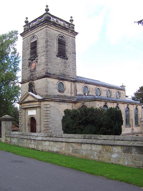
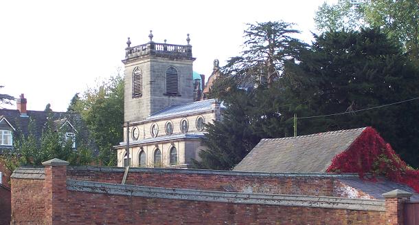
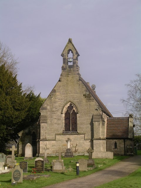
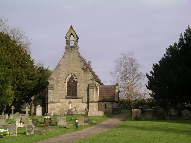
In addition to its natural beauty, Church Field is home to several historical landmarks and points of interest. A prominent feature is the ancient St. John's Church, which dates back to the 12th century and stands as a testament to the area's rich cultural heritage.
Visitors to Church Field can partake in a variety of recreational activities, such as picnicking, bird watching, and even horse riding. The field also offers designated areas for camping and caravanning, allowing visitors to immerse themselves in the peaceful surroundings for an extended period.
With its idyllic landscapes, historical significance, and recreational opportunities, Church Field in Staffordshire is a must-visit destination for those seeking a retreat into nature and a glimpse into England's past.
If you have any feedback on the listing, please let us know in the comments section below.
Church Field Images
Images are sourced within 2km of 52.816486/-2.0368441 or Grid Reference SJ9724. Thanks to Geograph Open Source API. All images are credited.
Church Field is located at Grid Ref: SJ9724 (Lat: 52.816486, Lng: -2.0368441)
Administrative County: Staffordshire
District: Stafford
Police Authority: Staffordshire
What 3 Words
///launch.tummy.presumes. Near Great Haywood, Staffordshire
Nearby Locations
Related Wikis

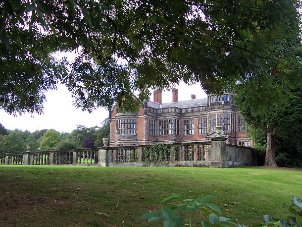
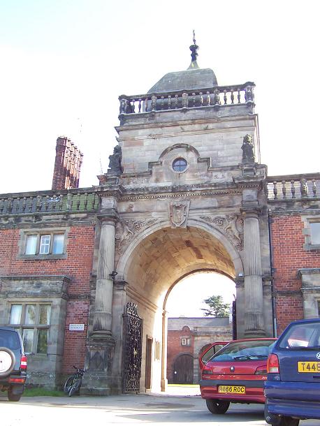
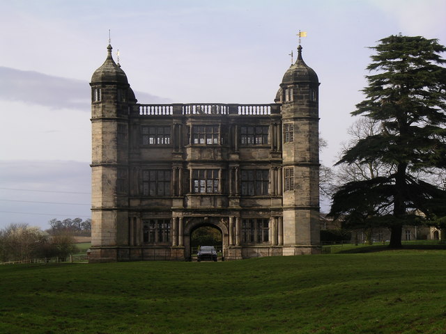
Ingestre Hall
Ingestre Hall is a Grade II* 17th-century Jacobean mansion situated at Ingestre, near Stafford, Staffordshire, England. Formerly the seat of the Earls...
Ingestre
Ingestre is a village and civil parish in the Stafford district, in the county of Staffordshire, England. The population of the civil parish taken at the...

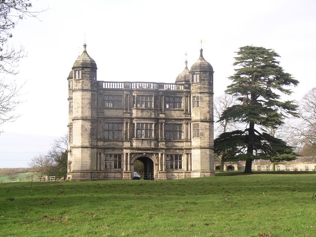
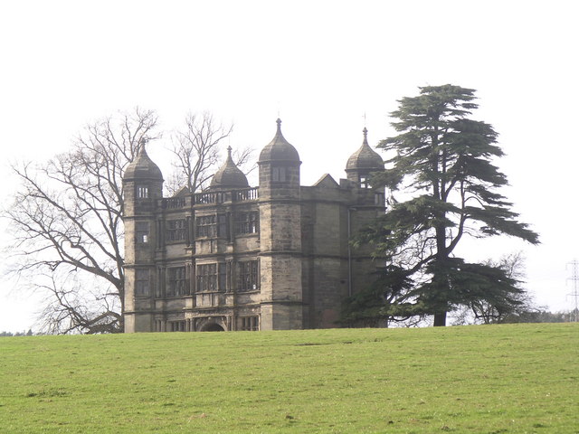
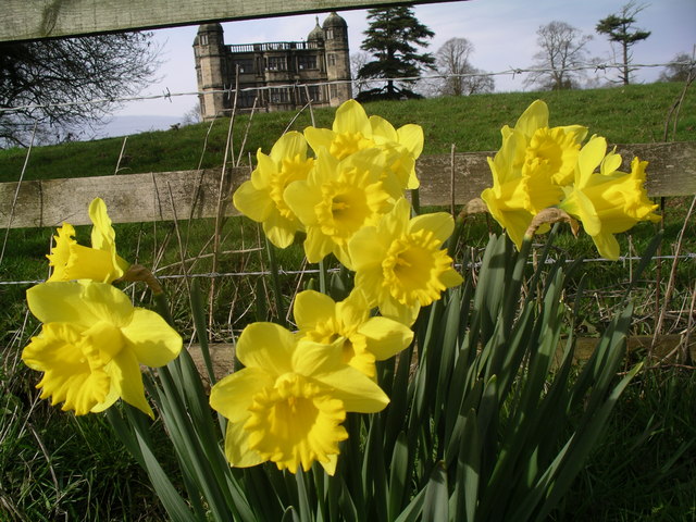
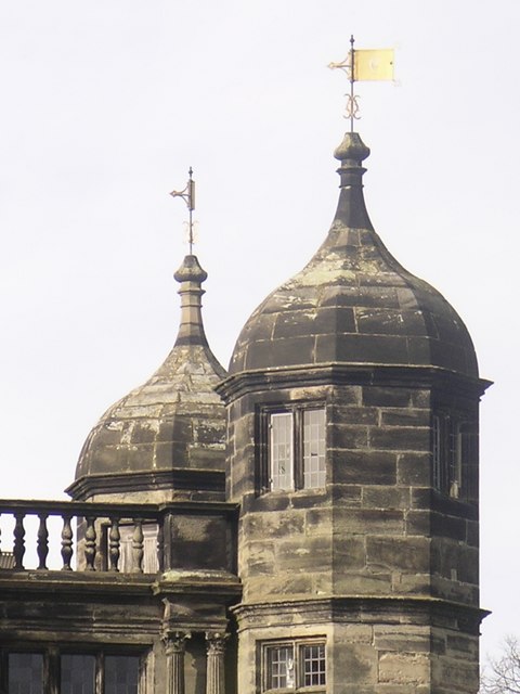
Tixall Gatehouse
Tixall Gatehouse is a 16th-century gatehouse situated at Tixall, near Stafford, Staffordshire and is all that remains of Tixall Hall which was demolished...

Tixall
Tixall is a small village and civil parish in the Stafford district, in the English county of Staffordshire lying on the western side of the Trent valley...

Way for the Millennium
The Way for the Millennium is a 41-mile-long (66 km) east–west route across Staffordshire, deliberately designed for easy walking, using towpaths, old...

Tixall Wide
Tixall Wide, also known as Tixall Broad or The Broad Water, is a body of water that forms part of the Staffordshire and Worcestershire Canal near Tixall...

Bingley Hall, Stafford
Bingley Hall (also known as New Bingley Hall to distinguish itself from the Bingley Hall in Birmingham) is an exhibition hall located in Stafford, England...
Hixon railway station
Hixon railway station is a disused railway station in Staffordshire, England. The railway line between Stone and Colwich was opened by the North Staffordshire...
Nearby Amenities
Located within 500m of 52.816486,-2.0368441Have you been to Church Field?
Leave your review of Church Field below (or comments, questions and feedback).