Whitelee Moor
Downs, Moorland in Northumberland
England
Whitelee Moor
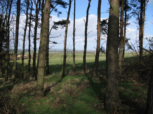
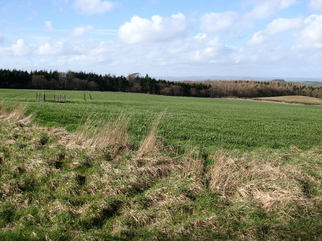
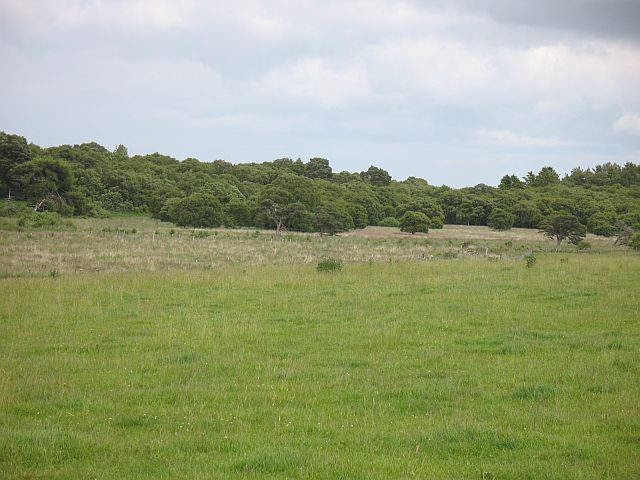
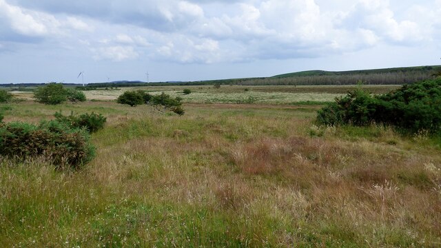
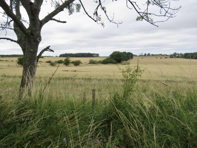
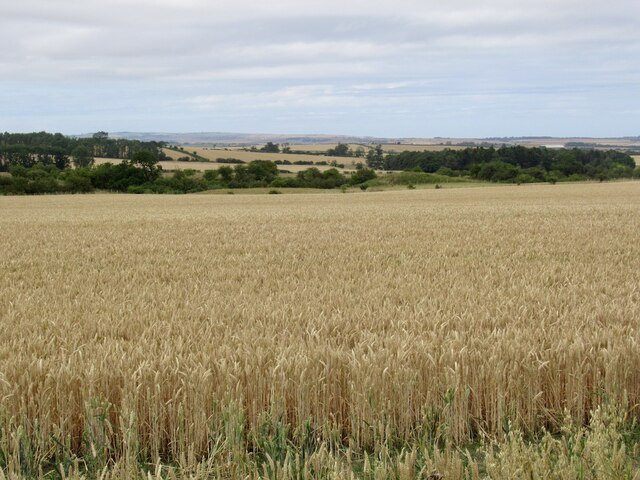
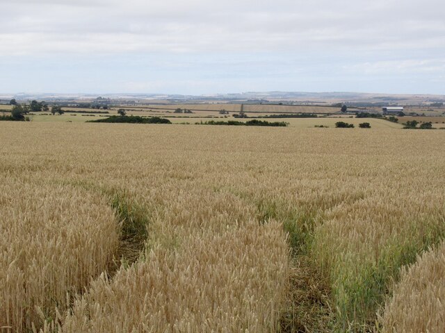
Whitelee Moor is a vast expanse of moorland located in Northumberland, England. Spanning over 10,000 acres, it is a designated Site of Special Scientific Interest (SSSI) and is managed by the Northumberland National Park Authority. The moorland is characterized by its undulating terrain, rugged beauty, and stunning panoramic views.
Whitelee Moor is renowned for its diverse and unique ecosystem, harboring a rich variety of flora and fauna. The area is primarily covered by heather, mosses, and grasses, creating a vibrant tapestry of colors during the summer months. It is home to several rare plant species, including the wild pansy and the bog orchid.
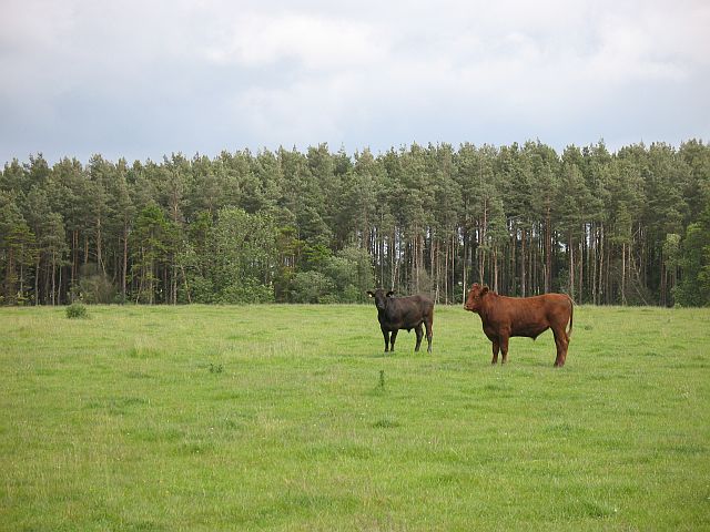
The moorland also supports a wide range of birdlife, making it a popular spot for birdwatching enthusiasts. Visitors may catch sight of red grouse, curlews, lapwings, and golden plovers, among others. The moorland's remote and serene setting provides the perfect habitat for these species.
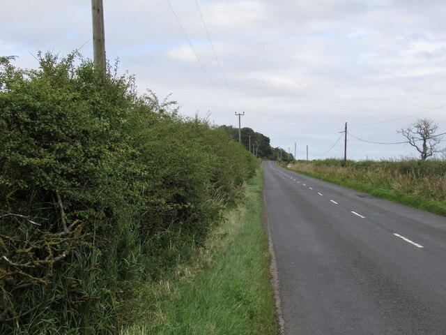
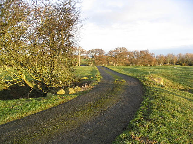
Whitelee Moor offers an extensive network of walking trails, allowing visitors to explore its natural beauty at their own pace. The paths wind through heather-clad hills and along the edges of picturesque valleys, offering breathtaking views of the surrounding countryside. The moorland is also intersected by several streams and rivers, adding to its charm.
Whether it's a leisurely stroll or a more challenging hike, Whitelee Moor has something to offer for every nature enthusiast. Its unspoiled landscapes and tranquil atmosphere make it an ideal destination for those seeking a peaceful retreat in the heart of Northumberland.
If you have any feedback on the listing, please let us know in the comments section below.
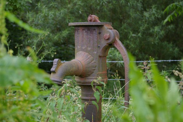
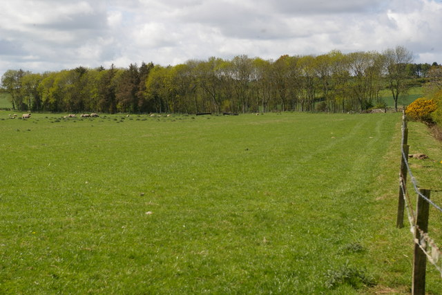
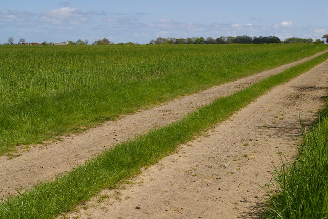
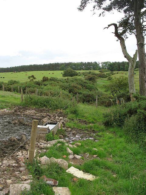
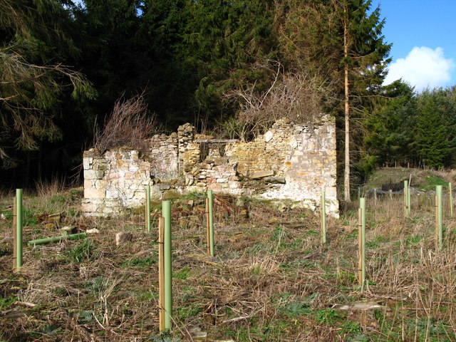
Whitelee Moor Images
Images are sourced within 2km of 55.648314/-2.0397607 or Grid Reference NT9739. Thanks to Geograph Open Source API. All images are credited.

Whitelee Moor is located at Grid Ref: NT9739 (Lat: 55.648314, Lng: -2.0397607)
Unitary Authority: Northumberland
Police Authority: Northumbria
What 3 Words
///dodges.townhouse.cars. Near Ford, Northumberland
Nearby Locations
Related Wikis
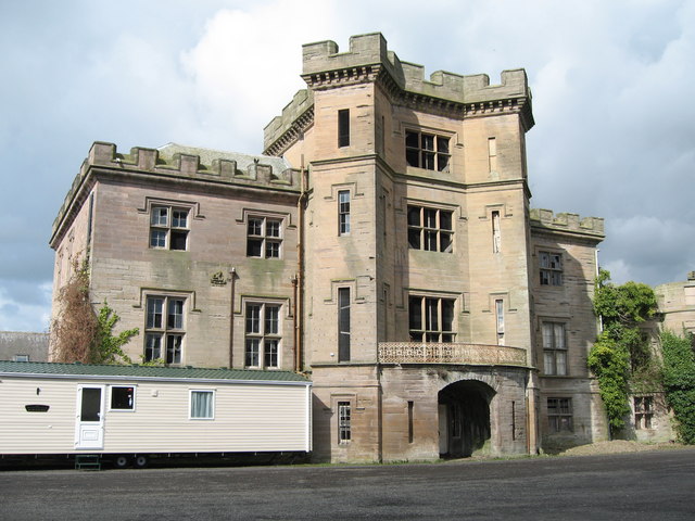
Barmoor Castle
Barmoor Castle ( grid reference NT99723988) is a privately owned 19th-century country house built on an ancient site in Northumberland. It is a Grade...

Bowsden
Bowsden is a village and civil parish in Northumberland, England. It is about 6 miles (10 km) to the south of Berwick-upon-Tweed, inland from the North...

Lady Waterford Hall
Lady Waterford Hall is the former village school of the estate village of Ford, Northumberland. It is now used as the village hall and is a Grade II* listed...

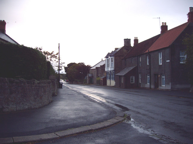
Ford, Northumberland
Ford is a small village and civil parish in Northumberland, England, about 13 miles (21 km) from Berwick-upon-Tweed. The parish also includes Etal. �...

Ford Castle
Ford Castle is a Grade I listed building situated at a shallow crossing point on the River Till, Ford, Northumberland, England. The castle dates from about...
Lowick, Northumberland
Lowick () is a village in Northumberland, north east England. Lowick lies on the B6353 road, about 10 miles (16 km) south of Berwick-upon-Tweed. The Anglican...

Heatherslaw Mill
Heatherslaw Mill is a water mill situated on the Ford and Etal Estate, 7 miles north of the town of Wooler in the English county of Northumberland. It...

Ford Forge
Ford Forge (Ford Mill), Northumberland, England is located on the River Till between the villages of Ford and Etal. Buildings housing a water-powered forge...
Nearby Amenities
Located within 500m of 55.648314,-2.0397607Have you been to Whitelee Moor?
Leave your review of Whitelee Moor below (or comments, questions and feedback).