Ingestre Wood
Wood, Forest in Staffordshire Stafford
England
Ingestre Wood
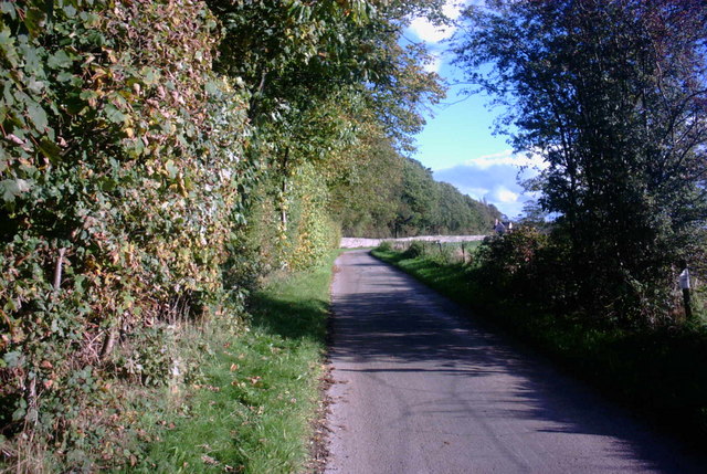
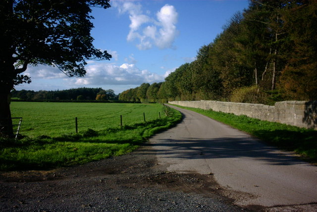
Ingestre Wood is a picturesque woodland located in the county of Staffordshire, England. Spanning an area of approximately 50 acres, it is a popular destination for nature enthusiasts and outdoor adventurers alike.
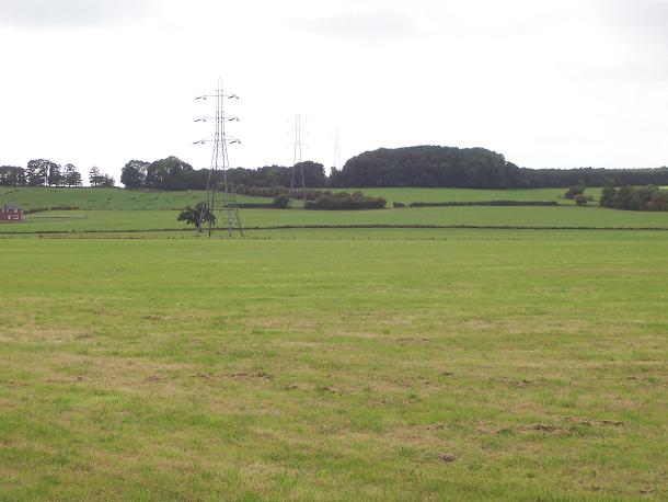
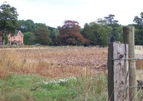
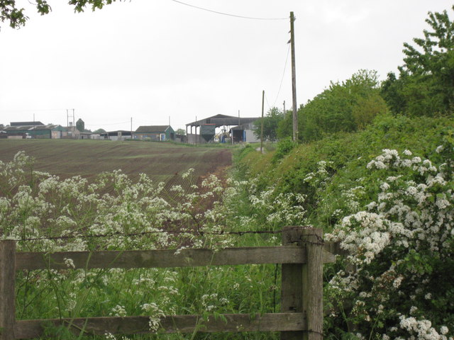
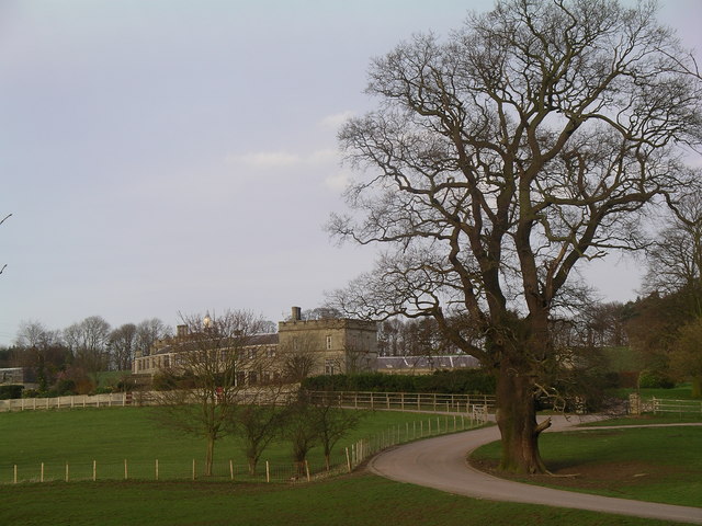
The woodland is situated near the village of Ingestre and is known for its diverse range of flora and fauna. The area is predominantly covered by deciduous trees, including oak, birch, and beech, which create a vibrant display of colors during the autumn months.
Ingestre Wood offers several well-maintained walking trails, allowing visitors to explore the area's natural beauty at their own pace. These trails wind through the wood, providing opportunities to spot various wildlife, such as deer, rabbits, and a wide variety of bird species. The wood is also home to a rich diversity of plant life, including bluebells, wild garlic, and foxgloves.
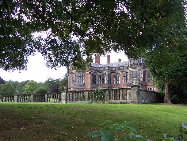
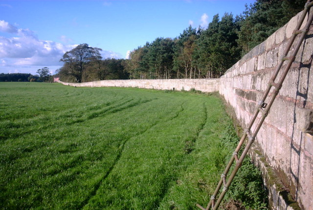
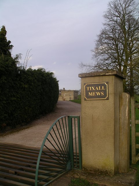
For those interested in history, Ingestre Wood has a fascinating past. It was once part of the Ingestre Estate, owned by the Earls of Shrewsbury, and remnants of the estate's former structures can still be found within the woodland. These include the ruins of the Ingestre Hall orangery, which adds an element of intrigue and nostalgia to the overall experience.
Overall, Ingestre Wood offers a peaceful and scenic escape from the hustle and bustle of everyday life. Its natural beauty, diverse wildlife, and historical significance make it a must-visit destination for nature lovers and history enthusiasts in Staffordshire.
If you have any feedback on the listing, please let us know in the comments section below.
Ingestre Wood Images
Images are sourced within 2km of 52.820043/-2.0437026 or Grid Reference SJ9724. Thanks to Geograph Open Source API. All images are credited.
Ingestre Wood is located at Grid Ref: SJ9724 (Lat: 52.820043, Lng: -2.0437026)
Administrative County: Staffordshire
District: Stafford
Police Authority: Staffordshire
What 3 Words
///famed.take.humid. Near Great Haywood, Staffordshire
Nearby Locations
Related Wikis

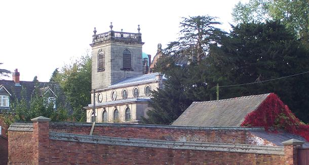
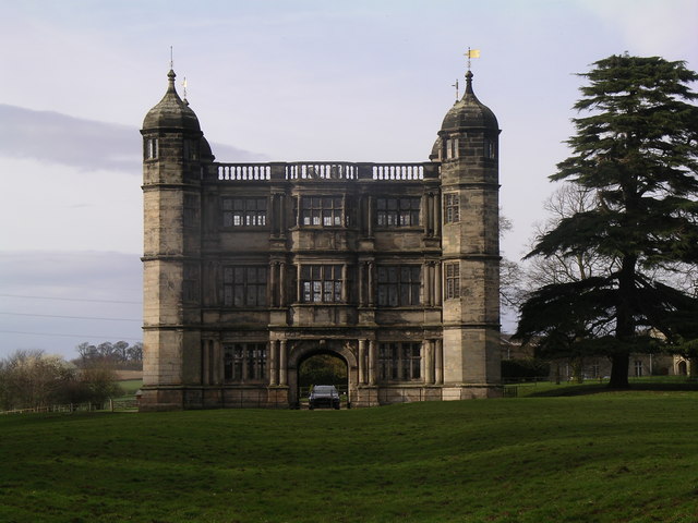
Ingestre Hall
Ingestre Hall is a Grade II* 17th-century Jacobean mansion situated at Ingestre, near Stafford, Staffordshire, England. Formerly the seat of the Earls...
Ingestre
Ingestre is a village and civil parish in the Stafford district, in the county of Staffordshire, England. The population of the civil parish taken at the...

Bingley Hall, Stafford
Bingley Hall (also known as New Bingley Hall to distinguish itself from the Bingley Hall in Birmingham) is an exhibition hall located in Stafford, England...

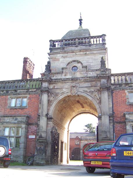
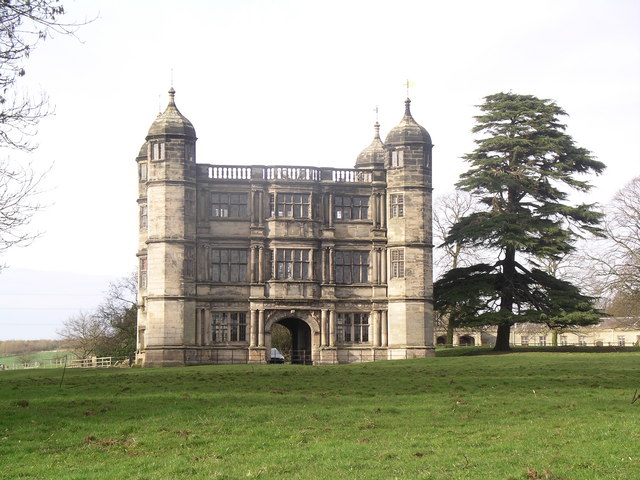
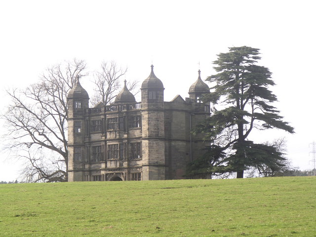
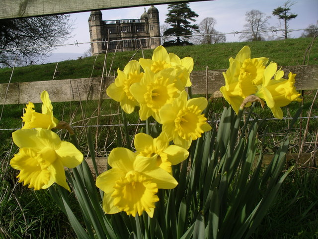
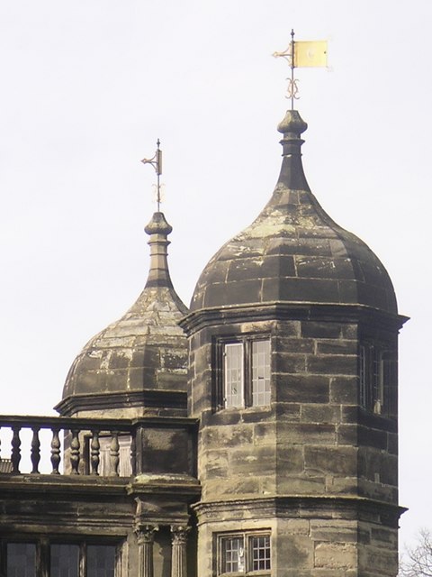
Tixall Gatehouse
Tixall Gatehouse is a 16th-century gatehouse situated at Tixall, near Stafford, Staffordshire and is all that remains of Tixall Hall which was demolished...

Tixall
Tixall is a small village and civil parish in the Stafford district, in the English county of Staffordshire lying on the western side of the Trent valley...

Ingestre railway station
Ingestre and Weston railway station was a former British railway station to serve the village of Ingestre in Staffordshire.It was opened by the Stafford...
Weston Road Academy
The Weston Road Academy (formerly Weston Road High School) is an academy school in Stafford, England. It provides secondary and further education for pupils...

Battle of Hopton Heath
The battle of Hopton Heath was a battle of the First English Civil War, fought on Sunday 19 March 1643 between Parliamentarian forces led by Sir John Gell...
Nearby Amenities
Located within 500m of 52.820043,-2.0437026Have you been to Ingestre Wood?
Leave your review of Ingestre Wood below (or comments, questions and feedback).