Cononley Moor

Downs, Moorland in Yorkshire Craven

England

Cononley Moor

Tall Chimney attached to Dale End Mill Tall thin stone chimney, roughly 80ft high and attached to the former textile mill at Dale End.
Tall Chimney attached to Dale End Mill Credit: Chris Heaton

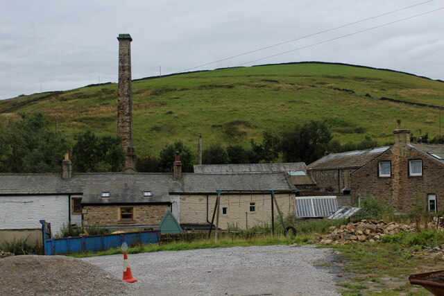
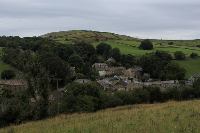
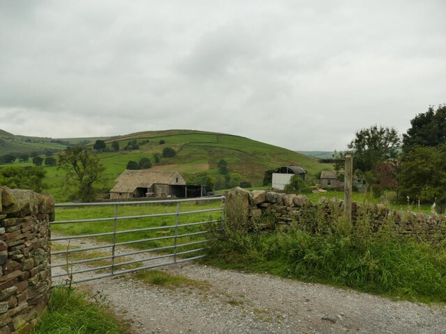
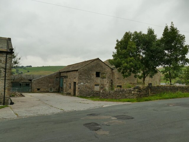
Cononley Moor, located in Yorkshire, England, is a picturesque area known for its stunning natural beauty and diverse wildlife. Stretching across an expanse of rolling hills and moorland, this rural landscape offers a serene escape from the hustle and bustle of city life.

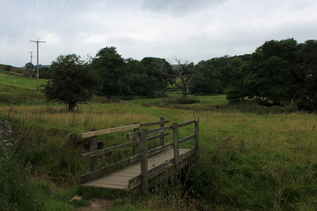
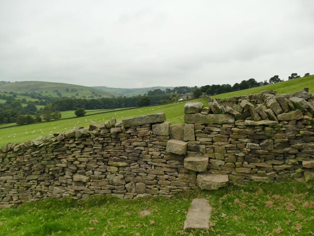
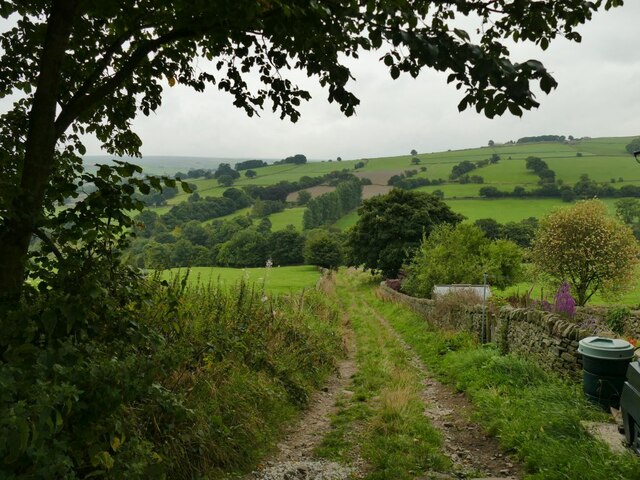
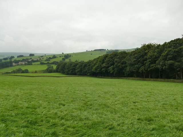
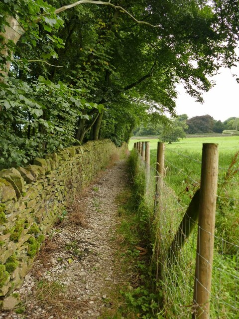
The moorland of Cononley Moor is characterized by its open, windswept terrain, covered in heather, grasses, and bracken. This unique habitat supports a wide range of plant and animal species, making it a haven for nature enthusiasts and birdwatchers. Visitors can spot various bird species, including the iconic red grouse, curlew, and lapwing, as well as rare butterflies and wildflowers.

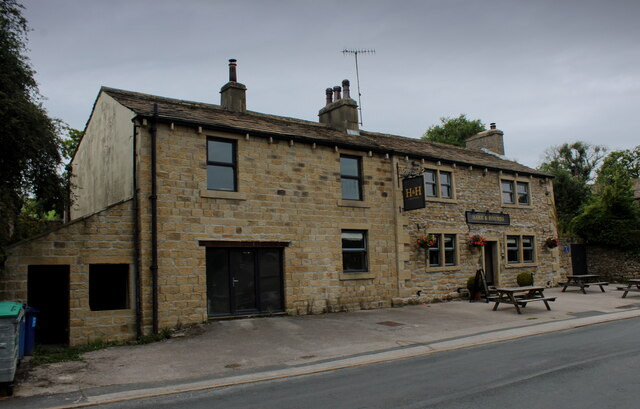
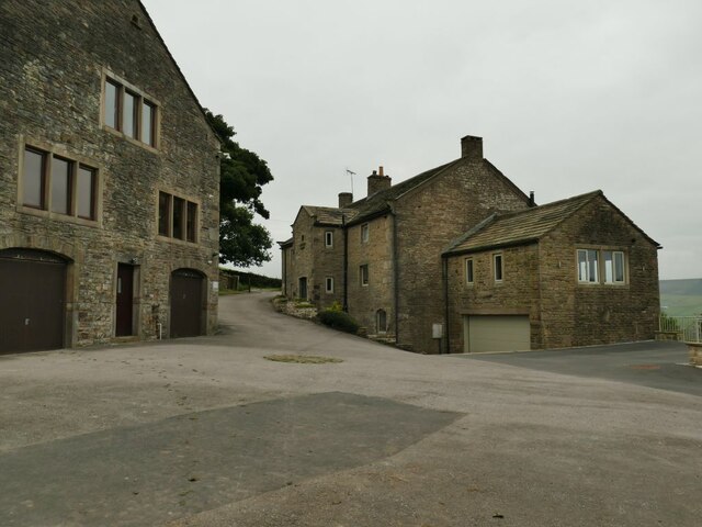
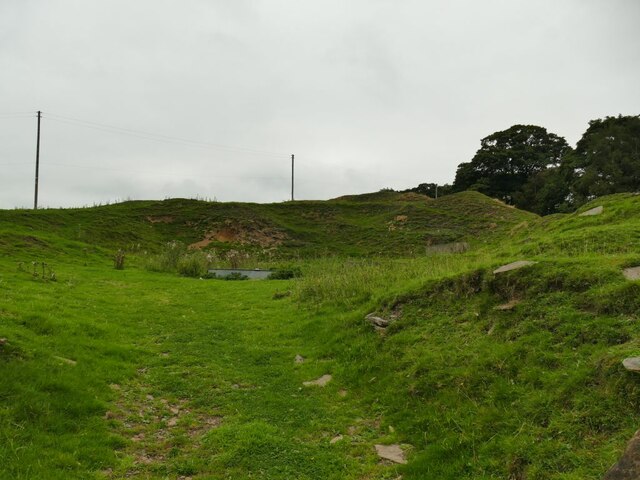
In addition to its natural wonders, Cononley Moor boasts a rich history. Evidence of human activity in the area dates back thousands of years, with ancient burial mounds and stone circles dotting the landscape. The moor has also played a significant role in the region's industrial past, with remnants of old quarrying and mining operations still visible.

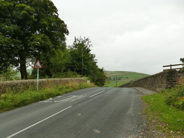
For outdoor enthusiasts, Cononley Moor offers ample opportunities for walking, hiking, and biking. There are several well-marked trails that crisscross the moor, allowing visitors to explore its vast expanses and take in breathtaking panoramic views. The moorland is also intersected by streams and rivers, adding to its natural charm.

Cononley Moor is a true gem of the Yorkshire countryside, offering visitors a chance to immerse themselves in nature, discover its rich history, and enjoy the tranquility of this idyllic setting.

If you have any feedback on the listing, please let us know in the comments section below.

Cononley Moor Images

Images are sourced within 2km of 53.918901/-2.0413926 or Grid Reference SD9746. Thanks to Geograph Open Source API. All images are credited.

Tall Chimney attached to Dale End Mill Tall thin stone chimney, roughly 80ft high and attached to the former textile mill at Dale End.
Tall Chimney attached to Dale End Mill
Tall thin stone chimney, roughly 80ft high and attached to the former textile mill at Dale End.
Hare and Hounds, Lothersdale
View over Lothersdale from the Pennine Way Views over the village of Lothersdale observed while climbing a steep hill on the Pennine Way National Trail - heading south towards Cowling
View over Lothersdale from the Pennine Way
Views over the village of Lothersdale observed while climbing a steep hill on the Pennine Way National Trail - heading south towards Cowling
Footbridge over Surgill Beck A footpath crosses the tributary, just before its waters empty into Lothersdale Beck.
Footbridge over Surgill Beck
A footpath crosses the tributary, just before its waters empty into Lothersdale Beck.
A typical stile in Lothersdale Between West Close Farm and reaching the road into Lothersdale village I must have crossed at least ten stiles like this, with through stones in a dry stone wall.
A typical stile in Lothersdale
Between West Close Farm and reaching the road into Lothersdale village I must have crossed at least ten stiles like this, with through stones in a dry stone wall.
Norwood Lane below Leys House Below Leys House the lane is unsurfaced.
Norwood Lane below Leys House
Below Leys House the lane is unsurfaced.
Leys House, Norwood Lane A farmhouse and outbuildings now converted into several dwellings.
Leys House, Norwood Lane
A farmhouse and outbuildings now converted into several dwellings.
Wooded clough in Lothersdale The Sedgwick Beck flows in a deep wooded clough for several hundred metres.
Wooded clough in Lothersdale
The Sedgwick Beck flows in a deep wooded clough for several hundred metres.
Path above a wooded clough The Sedgwick Beck flows in a deep wooded clough for several hundred metres downhill (left) of this point.
Path above a wooded clough
The Sedgwick Beck flows in a deep wooded clough for several hundred metres downhill (left) of this point.
New building opposite Ashfield Farm It's not clear yet what the building's function will be, but the architect has taken advantage of the south facing aspect to include solar panels.
New building opposite Ashfield Farm
It's not clear yet what the building's function will be, but the architect has taken advantage of the south facing aspect to include solar panels.
New stile, old style A stile on a public footpath next to a new gate leading into a development site <a href="https://www.geograph.org.uk/photo/6954458">SD9745 : New building opposite Ashfield Farm</a> but in keeping with local tradition.
New stile, old style
A stile on a public footpath next to a new gate leading into a development site SD9745 : New building opposite Ashfield Farm but in keeping with local tradition.
Ashfield Farm, Lothersdale Buildings on Stansfield Brow.
Ashfield Farm, Lothersdale
Buildings on Stansfield Brow.
Sign entering Lothersdale on Stansfield Brow The village calls itself as the 'heart of the Pennine Way'.  The long distance path passes through the village (but not on this road).
Sign entering Lothersdale on Stansfield Brow
The village calls itself as the 'heart of the Pennine Way'. The long distance path passes through the village (but not on this road).
Gradient sign at the top of Stansfield Brow From this point the road descends about fifty metres into the village.
Gradient sign at the top of Stansfield Brow
From this point the road descends about fifty metres into the village.
Disused quarry at Stone Gappe I wonder whether the farm across the road got its name because of the quarry?
Disused quarry at Stone Gappe
I wonder whether the farm across the road got its name because of the quarry?
Postbox on Stansfield Brow The layby shown here is the original road alignment; what must have been a very tight bend has been eased at some time in recent decades.
Postbox on Stansfield Brow
The layby shown here is the original road alignment; what must have been a very tight bend has been eased at some time in recent decades.
Footpath sign at Low Laithe The track beyond the gate only leads to Lothersdale sewage works, but is also a public footpath. Beyond are the outbuildings of Low Laithe farm.
Footpath sign at Low Laithe
The track beyond the gate only leads to Lothersdale sewage works, but is also a public footpath. Beyond are the outbuildings of Low Laithe farm.
Low Laithe farm, Lothersdale
Show me another place!

Cononley Moor is located at Grid Ref: SD9746 (Lat: 53.918901, Lng: -2.0413926)

Division: West Riding

Administrative County: North Yorkshire

District: Craven

Police Authority: North Yorkshire

What 3 Words

///tutored.void.cherubs. Near Glusburn, North Yorkshire

Related Wikis

Staincliffe Wapentake

Staincliffe, also known as Staincliff, was a wapentake of the West Riding of Yorkshire, England. The wapentake was named from a place called Staincliffe...

Stone Gappe

Stone Gappe is an 18th-century house in Lothersdale, North Yorkshire, England; it is a Grade II* listed building. == Construction == The house was constructed...

Cononley

Cononley ( or ) is a village and civil parish in the Craven district of North Yorkshire, England. Historically part of the West Riding of Yorkshire, Cononley...
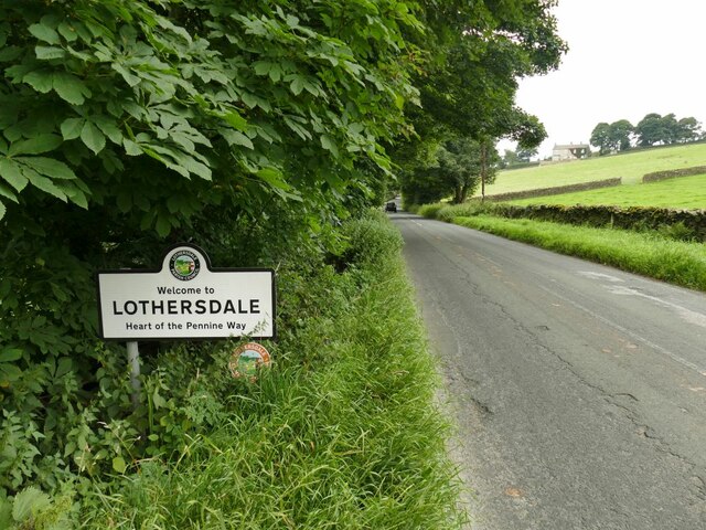
Lothersdale

Lothersdale is a small village and civil parish in the former Craven district of North Yorkshire, England, near Skipton and within the triangle formed...

Aire View

Aire View is a linear settlement in the civil parish of Cononley, North Yorkshire, England. It lies 5 miles (8 km) north-west from Keighley and less than...

Cononley railway station

Cononley railway station serves the village of Cononley in North Yorkshire, England. The station, and all trains serving it, are operated by Northern....

Carleton-in-Craven

Carleton-in-Craven is a small village and civil parish in the Craven district of North Yorkshire, England, and situated just over 1.5 miles (2.4 km) south...

Malsis School

Malsis School located at a mansion known as Malsis Hall in the village of Crosshills, in North Yorkshire, England, was a co-educational independent pre...

Nearby Amenities

Located within 500m of 53.918901,-2.0413926
Cononley Moor
Is In County: North Yorkshire
Is In Historic County: Yorkshire
Natural: moor
Source: npe
Lat/Long: 53.9155714/-2.0364769
The data included in this document is from www.openstreetmap.org. The data is made available under ODbL.

Have you been to Cononley Moor?

Leave your review of Cononley Moor below (or comments, questions and feedback).