Four Lane End Plantation

Wood, Forest in Yorkshire Craven

England

Four Lane End Plantation

Tall Chimney attached to Dale End Mill Tall thin stone chimney, roughly 80ft high and attached to the former textile mill at Dale End.
Tall Chimney attached to Dale End Mill Credit: Chris Heaton

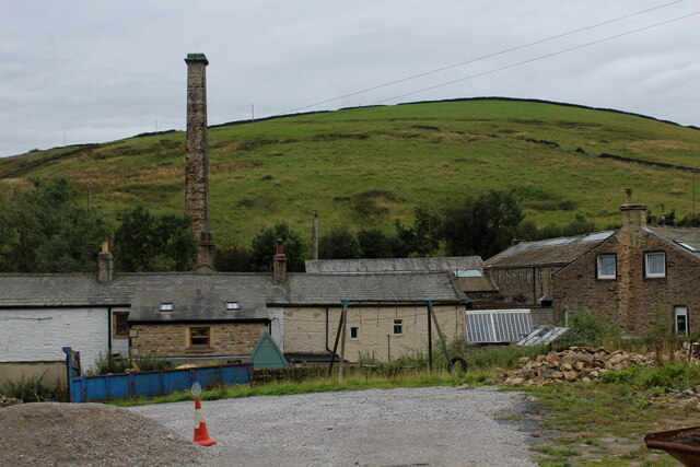
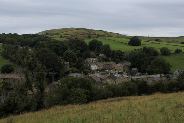
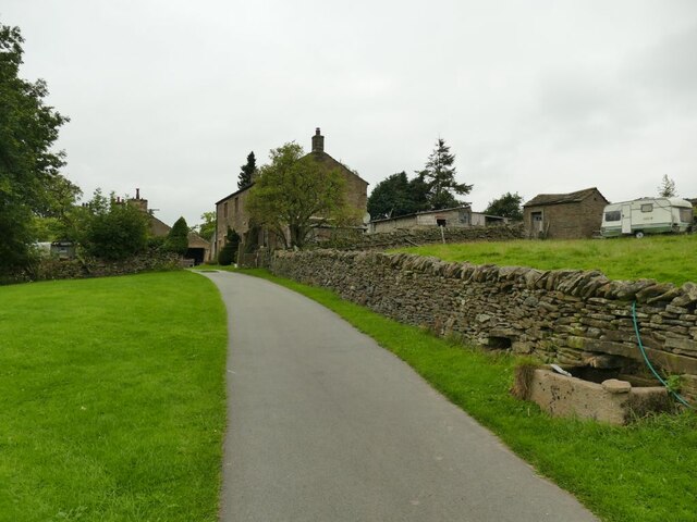
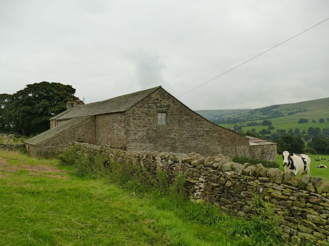
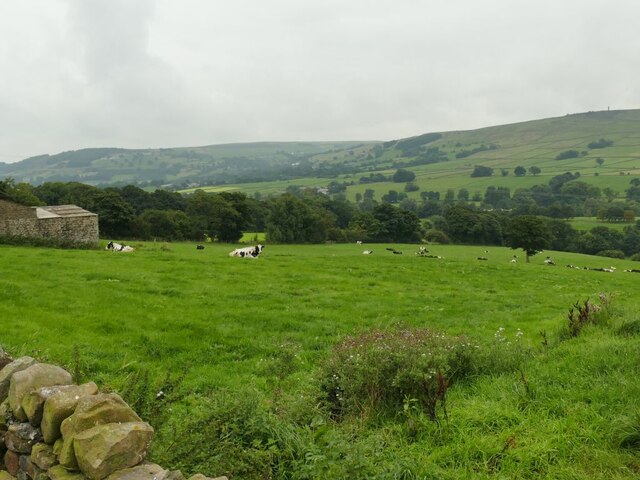
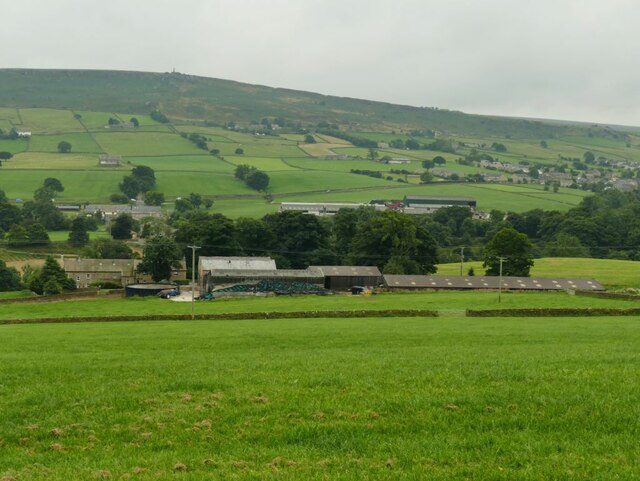
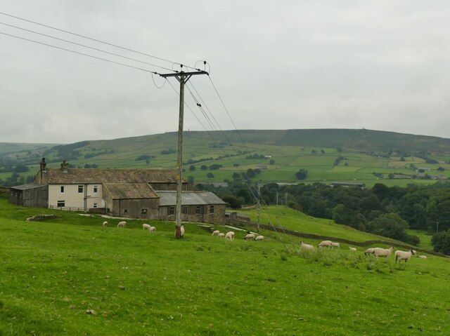
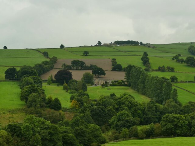
Four Lane End Plantation is a picturesque woodland located in the county of Yorkshire, England. Covering an area of approximately 100 acres, this enchanting forest is a popular destination for nature lovers and outdoor enthusiasts.

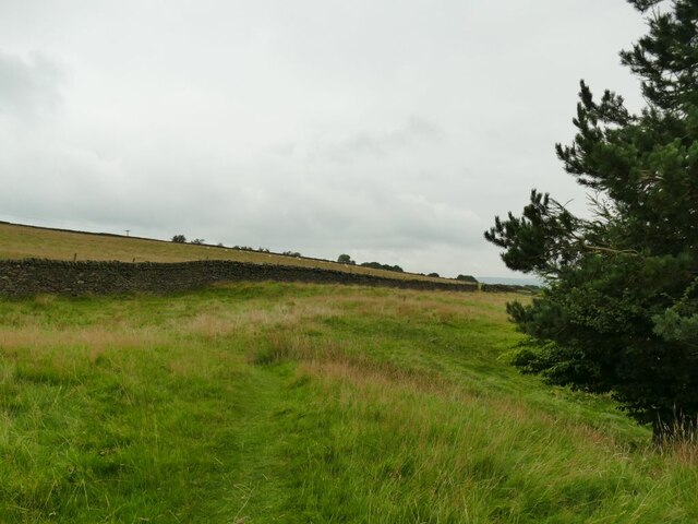
The plantation is characterized by its dense and diverse tree population, consisting primarily of native species such as oak, beech, and birch. These towering trees provide a lush canopy that creates a serene and tranquil atmosphere throughout the woodland. The forest floor is adorned with a colorful array of wildflowers, including bluebells and primroses, adding to the beauty of the surroundings.

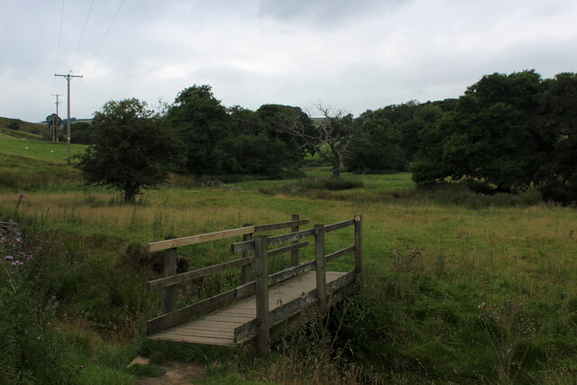
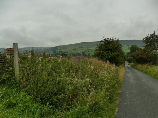
The plantation is crisscrossed by a network of well-maintained footpaths and trails, allowing visitors to explore the area on foot or by bicycle. These paths meander through the woodland, leading visitors to various points of interest, including a small pond and a secluded picnic area.

Four Lane End Plantation is also home to a rich and diverse wildlife population. Birdwatchers can spot a variety of avian species, including woodpeckers, owls, and various songbirds. The forest is also inhabited by small mammals such as squirrels, rabbits, and hedgehogs, adding to the charm of the woodland experience.

With its natural beauty, tranquil ambiance, and abundant wildlife, Four Lane End Plantation offers a peaceful retreat for those seeking solace in nature. Whether for a leisurely stroll, a family picnic, or birdwatching, this woodland in Yorkshire provides a delightful escape from the hustle and bustle of everyday life.

If you have any feedback on the listing, please let us know in the comments section below.

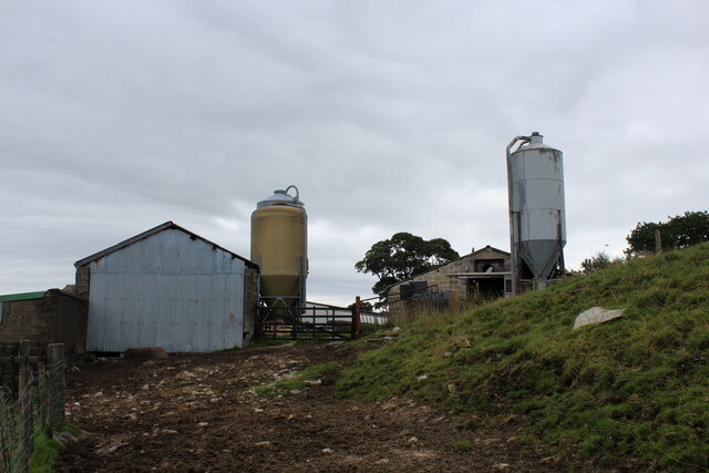
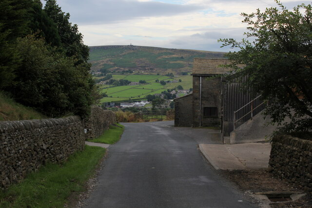
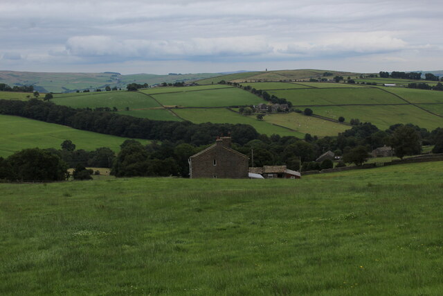
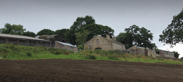
Four Lane End Plantation Images

Images are sourced within 2km of 53.911198/-2.0442011 or Grid Reference SD9746. Thanks to Geograph Open Source API. All images are credited.

Tall Chimney attached to Dale End Mill Tall thin stone chimney, roughly 80ft high and attached to the former textile mill at Dale End.
Tall Chimney attached to Dale End Mill
Tall thin stone chimney, roughly 80ft high and attached to the former textile mill at Dale End.
Hare and Hounds, Lothersdale
View over Lothersdale from the Pennine Way Views over the village of Lothersdale observed while climbing a steep hill on the Pennine Way National Trail - heading south towards Cowling
View over Lothersdale from the Pennine Way
Views over the village of Lothersdale observed while climbing a steep hill on the Pennine Way National Trail - heading south towards Cowling
Footbridge over Surgill Beck A footpath crosses the tributary, just before its waters empty into Lothersdale Beck.
Footbridge over Surgill Beck
A footpath crosses the tributary, just before its waters empty into Lothersdale Beck.
Mire Close A collection of farm outbuildings on Grandage Lane
Mire Close
A collection of farm outbuildings on Grandage Lane
Cowling Hill Lane Lane descending towards Glusburn - with long views towards Wainman's Pinnacle and Earl Crag.
Cowling Hill Lane
Lane descending towards Glusburn - with long views towards Wainman's Pinnacle and Earl Crag.
Low Laithe from the Pennine Way View from Grandage Lane, which at this point has been adopted by the Pennine Way National Trail.
It looks north east over Low Laithe.
Low Laithe from the Pennine Way
View from Grandage Lane, which at this point has been adopted by the Pennine Way National Trail. It looks north east over Low Laithe.
Over House
Over House
Approaching West Closes Farm The lane is a private road serving five farms, of which this is the last.  It's also a public footpath. The main farmhouse is grade II listed but not seen in this view, and was the home of a well known 19th century organ builder, John Laycock (source: <span class="nowrap"><a title="http://www.farnhill.co.uk/History_Docs/Kildwick%20Organ%20grave%20-%20issue%203.pdf" rel="nofollow ugc noopener" href="http://www.farnhill.co.uk/History_Docs/Kildwick%20Organ%20grave%20-%20issue%203.pdf">Link</a><img style="margin-left:2px;" alt="External link" title="External link - shift click to open in new window" src="https://s1.geograph.org.uk/img/external.png" width="10" height="10"/></span> ).
Approaching West Closes Farm
The lane is a private road serving five farms, of which this is the last. It's also a public footpath. The main farmhouse is grade II listed but not seen in this view, and was the home of a well known 19th century organ builder, John Laycock (source: LinkExternal link ).
Cook House Farm This is a view from behind the farm to the west.  The map shows the public footpath passing in front (south) of the property, but as I approached from the east, looking for a stile or gate, the owner and his dog came out and directed me round the back instead.

The farm was the birthplace of a well-known organ builder, John Laycock who later lived at nearby West Closes.(source: <span class="nowrap"><a title="http://www.farnhill.co.uk/History_Docs/Kildwick%20Organ%20grave%20-%20issue%203.pdf" rel="nofollow ugc noopener" href="http://www.farnhill.co.uk/History_Docs/Kildwick%20Organ%20grave%20-%20issue%203.pdf">Link</a><img style="margin-left:2px;" alt="External link" title="External link - shift click to open in new window" src="https://s1.geograph.org.uk/img/external.png" width="10" height="10"/></span> )
Cook House Farm
This is a view from behind the farm to the west. The map shows the public footpath passing in front (south) of the property, but as I approached from the east, looking for a stile or gate, the owner and his dog came out and directed me round the back instead. The farm was the birthplace of a well-known organ builder, John Laycock who later lived at nearby West Closes.(source: LinkExternal link )
Cows at Birks Farm The field is the one immediately below Cook House <a href="https://www.geograph.org.uk/photo/6954338">SD9844 : Cook House Farm</a> but I get the impression that the latter is no longer a working farm, and the cattle probably belong to Birks Farm lower down the hill.
Cows at Birks Farm
The field is the one immediately below Cook House SD9844 : Cook House Farm but I get the impression that the latter is no longer a working farm, and the cattle probably belong to Birks Farm lower down the hill.
Birks Farm A cattle farm, also the home of the "Woolly Jumper Craft Company".
Birks Farm
A cattle farm, also the home of the "Woolly Jumper Craft Company".
Top of the field above West Closes Farm The footpath dodges round the top of a conifer plantation and briefly enters this grid square in doing so.
Top of the field above West Closes Farm
The footpath dodges round the top of a conifer plantation and briefly enters this grid square in doing so.
Leys Lane Looking downhill towards Birks Bridge, with to the left the start of a public footpath to Cross Hills.
Leys Lane
Looking downhill towards Birks Bridge, with to the left the start of a public footpath to Cross Hills.
Far Carr Head Farm Viewed from the gate to Near Leys Farm, to which the outbuildings in the foreground belong.
Far Carr Head Farm
Viewed from the gate to Near Leys Farm, to which the outbuildings in the foreground belong.
Near Leys Farm The farm is on Leys Lane between Glusburn and Lothersdale.
Near Leys Farm
The farm is on Leys Lane between Glusburn and Lothersdale.
Sheep at Near Leys Farm
Norwood, Low Lane, Lothersdale A grade II listed former farmhouse (list entry 1131804). From this angle looking across Lothersdale it seems quite isolated on the hillside, but there is a public road (Low Lane) running past it on the uphill side.
Norwood, Low Lane, Lothersdale
A grade II listed former farmhouse (list entry 1131804). From this angle looking across Lothersdale it seems quite isolated on the hillside, but there is a public road (Low Lane) running past it on the uphill side.
Show me another place!

Four Lane End Plantation is located at Grid Ref: SD9746 (Lat: 53.911198, Lng: -2.0442011)

Division: West Riding

Administrative County: North Yorkshire

District: Craven

Police Authority: North Yorkshire

What 3 Words

///builds.cabin.retaliate. Near Glusburn, North Yorkshire

Related Wikis

Stone Gappe

Stone Gappe is an 18th-century house in Lothersdale, North Yorkshire, England; it is a Grade II* listed building. == Construction == The house was constructed...

Lothersdale

Lothersdale is a small village and civil parish in the former Craven district of North Yorkshire, England, near Skipton and within the triangle formed...

Staincliffe Wapentake

Staincliffe, also known as Staincliff, was a wapentake of the West Riding of Yorkshire, England. The wapentake was named from a place called Staincliffe...

Cononley

Cononley ( or ) is a village and civil parish in the Craven district of North Yorkshire, England. Historically part of the West Riding of Yorkshire, Cononley...

Aire View

Aire View is a linear settlement in the civil parish of Cononley, North Yorkshire, England. It lies 5 miles (8 km) north-west from Keighley and less than...

Cononley railway station

Cononley railway station serves the village of Cononley in North Yorkshire, England. The station, and all trains serving it, are operated by Northern....

Malsis School

Malsis School located at a mansion known as Malsis Hall in the village of Crosshills, in North Yorkshire, England, was a co-educational independent pre...

Glusburn

Glusburn is a village and electoral ward in Craven in North Yorkshire, England. Historically part of the West Riding of Yorkshire, the village is situated...

Related Videos

Quick whizz around Spindle Lilly, Cononley - 2 bedroom 5* holiday rental apartment in N. Yorkshire

Spindle Lilly is a stunning 2 bedroom holiday apartment in the scenic village of Cononley, North Yorkshire. For more details ...

Day 58 - Lothersdale

11 miles covered (550 in total )

Pennine Way Flagstones - Thornton-in-Craven to Lothersdale

Walkers, Hikers and runners or Pennine Way enthusiasts ....I thought that this might be useful to anyone in the Craven area ...

G/HSP-022 Pinhaw Beacon 2M FM HEMA activation

2M FM HEMA activation of G/HSP-022 Pinhaw Beacon using my Yaesu FT817ND and SOTAbeams SB270 antenna.

Nearby Amenities

Located within 500m of 53.911198,-2.0442011
Bench
Check Date: 2021-08-08
Lat/Long: 53.9101513/-2.0433768
Passing Place
Lat/Long: 53.9085249/-2.0385306
Place: farm
Lat/Long: 53.9087503/-2.0379147
Place: farm
Lat/Long: 53.9099384/-2.0450601
Barrier: cattle_grid
Bicycle: yes
Foot: yes
Motorcycle: yes
Lat/Long: 53.9113713/-2.0392077
Power: pole
Lat/Long: 53.9118607/-2.0374462
Power: pole
Lat/Long: 53.9118449/-2.038334
Power: pole
Lat/Long: 53.9118244/-2.0391762
Power: pole
Lat/Long: 53.9118118/-2.0405334
Power: pole
Lat/Long: 53.9117865/-2.0417351
Power: pole
Lat/Long: 53.9117501/-2.0429689
Power: pole
Lat/Long: 53.9117391/-2.0438084
Power: pole
Lat/Long: 53.9118228/-2.0448196
Power: pole
Lat/Long: 53.9119903/-2.0470458
Power: pole
Lat/Long: 53.9120851/-2.0481965
Power: pole
Lat/Long: 53.9121815/-2.049382
Power: pole
Lat/Long: 53.9122826/-2.0505971
Ford: yes
Lat/Long: 53.9075061/-2.0458361
The data included in this document is from www.openstreetmap.org. The data is made available under ODbL.

Have you been to Four Lane End Plantation?

Leave your review of Four Lane End Plantation below (or comments, questions and feedback).