Mary Pasture
Downs, Moorland in Yorkshire Richmondshire
England
Mary Pasture
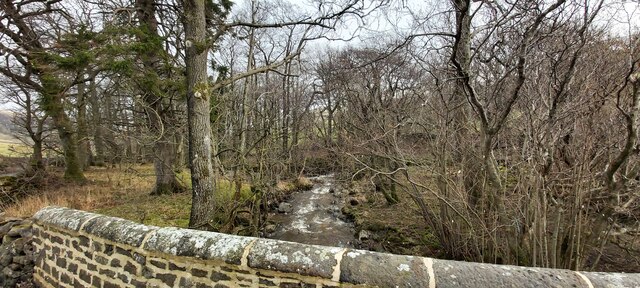
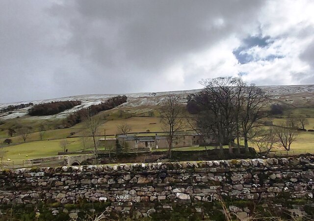
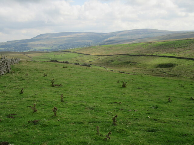
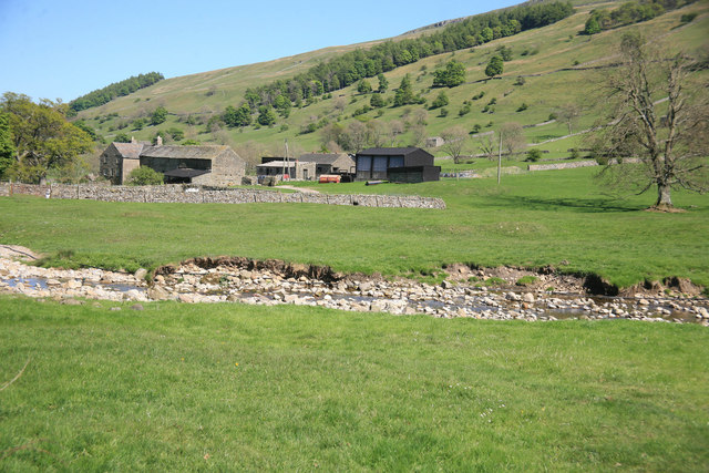
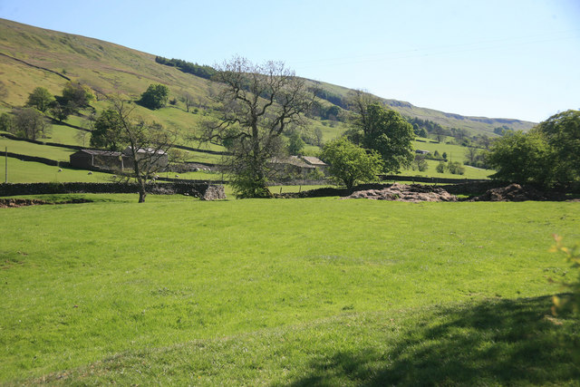
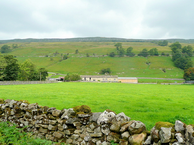
Mary Pasture is a picturesque area located in Yorkshire, England, renowned for its stunning landscape and rich biodiversity. Situated in the heart of the Yorkshire Dales, it encompasses both the Yorkshire Downs and Moorland. Spanning over a vast expanse of rolling hills, rugged cliffs, and expansive moorlands, Mary Pasture offers visitors a truly breathtaking experience.
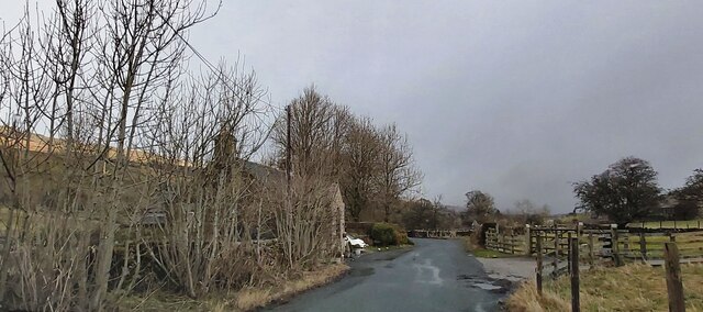
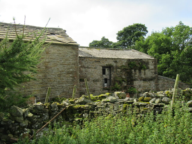
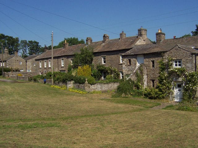
The Yorkshire Downs in Mary Pasture are characterized by their sweeping grassy slopes, dotted with vibrant wildflowers during the summer months. These downs provide ample grazing land for livestock, particularly sheep, which can be seen peacefully roaming the countryside. The area is also home to several charming villages and hamlets, where visitors can immerse themselves in the traditional Yorkshire way of life.
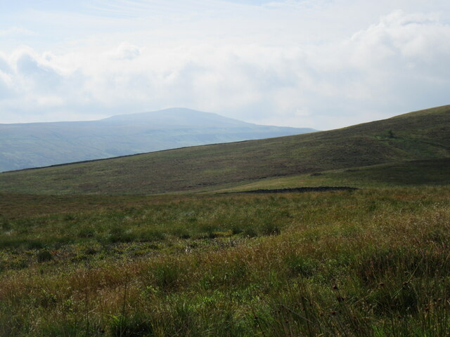
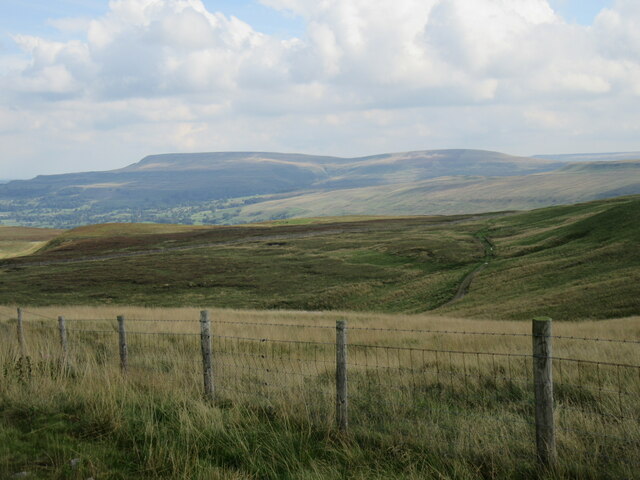
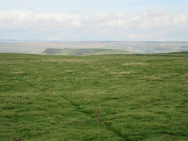
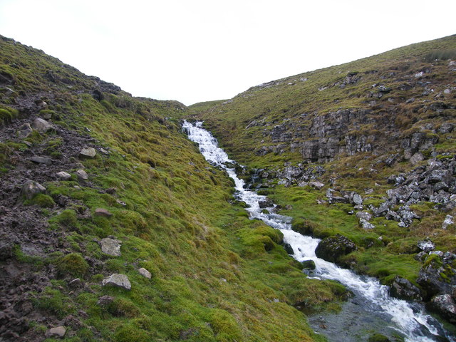
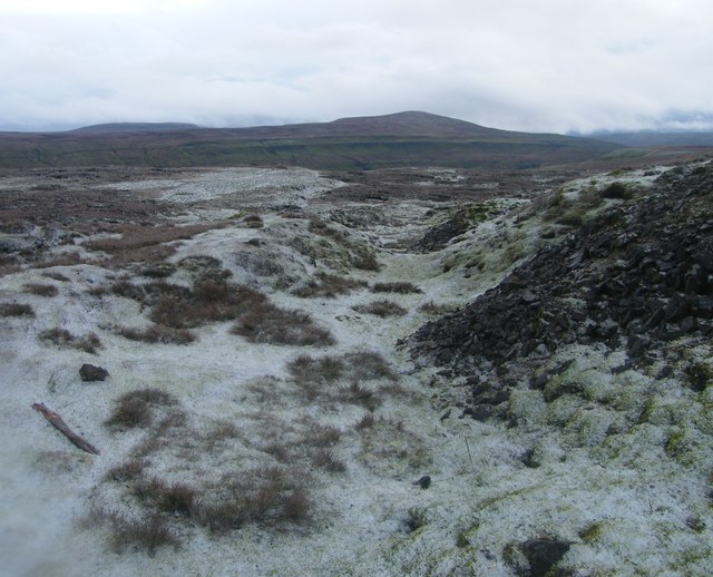
Moving further into Mary Pasture, visitors will encounter the Moorland, an area of wild, untamed beauty. The moors are characterized by their vast expanses of heather, which paint the landscape with hues of purple during the summer. This unique habitat provides a sanctuary for a wide range of wildlife, including red grouse, curlews, and golden plovers.
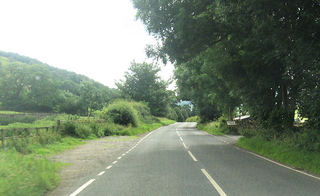
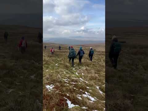
For outdoor enthusiasts, Mary Pasture offers an array of activities. Hiking and walking trails crisscross the landscape, providing opportunities to explore the area's natural wonders. Additionally, the moorland is a popular destination for birdwatching, with many rare and endangered species making their home here.
Overall, Mary Pasture is a captivating destination that showcases the diverse beauty of the Yorkshire Downs and Moorland. With its stunning vistas, rich wildlife, and welcoming communities, it is a must-visit location for nature lovers and those seeking a true taste of Yorkshire's countryside.
If you have any feedback on the listing, please let us know in the comments section below.
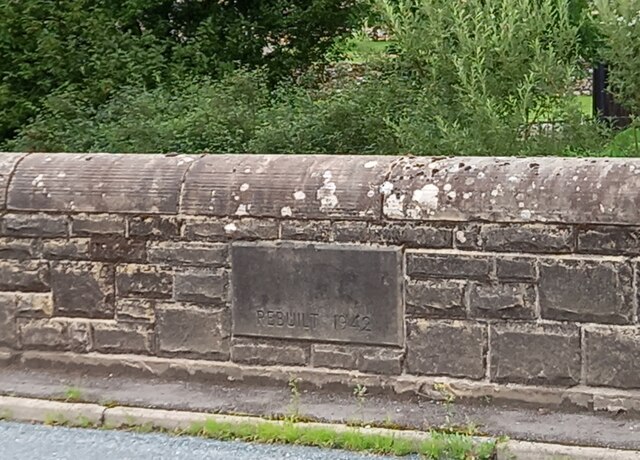
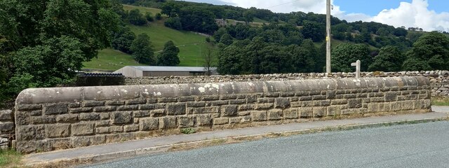
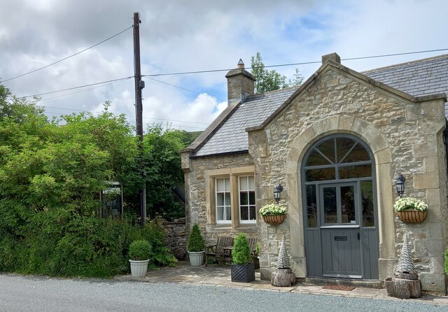
Mary Pasture Images
Images are sourced within 2km of 54.257167/-2.0572055 or Grid Reference SD9684. Thanks to Geograph Open Source API. All images are credited.
Mary Pasture is located at Grid Ref: SD9684 (Lat: 54.257167, Lng: -2.0572055)
Division: North Riding
Administrative County: North Yorkshire
District: Richmondshire
Police Authority: North Yorkshire
What 3 Words
///grapes.awoke.devoured. Near Leyburn, North Yorkshire
Nearby Locations
Related Wikis

Yorkshire Dales
The Yorkshire Dales are an upland area of the Pennines in England. Most of the area is in the county of North Yorkshire, but it extends into Cumbria and...

Bishopdale, North Yorkshire
Bishopdale is a dale in the Yorkshire Dales National Park in North Yorkshire, England. The dale is a side dale on the south side of Wensleydale, and extends...

Castle Dykes Henge
Castle Dykes Henge is a Class I Neolithic henge earthwork in the Yorkshire Dales National Park in North Yorkshire, England, situated between the villages...

Newbiggin, south Wensleydale
Newbiggin is a village and civil parish in Bishopdale, a side dale on the south side of Wensleydale, in the Yorkshire Dales in North Yorkshire, England...

Addlebrough
Addlebrough is a fell in Wensleydale, North Yorkshire, England. It is 481 m (1,578 ft) high. Bronze Age inhabitants built homes and enclosures on the fell...

Thoralby
Thoralby is a village and civil parish in the Richmondshire district of North Yorkshire, England. It lies south of Aysgarth, is within a mile of both Newbiggin...
Thornton Rust
Thornton Rust is a village and civil parish in North Yorkshire, England. It lies in the Yorkshire Dales about 2 miles (3.2 km) west of Aysgarth, high on...

Walden Head
Walden Head is a hamlet in the Yorkshire Dales, North Yorkshire. It lies 5 miles (8 km) of Aysgarth and to the north is a similar village Walden. The village...
Related Videos

Waking Up To Mountain Walks & Waterfalls In The English Countryside #hiking #travel #nature
Add a breathtaking journey through the Yorkshire Dales to your travel wishlist, a region celebrated for its stunning landscapes and ...
The Inn Way to the Yorkshire Dales
The Inn Way to the Yorkshire Dales, by Mark Reid (that's me!) The Ultimate Pub Walk - 76 miles, 6 days and 26 pubs. The Inn Way ...

Nearby Amenities
Located within 500m of 54.257167,-2.0572055Have you been to Mary Pasture?
Leave your review of Mary Pasture below (or comments, questions and feedback).