Slade's Plantation

Wood, Forest in Yorkshire Richmondshire

England

Slade's Plantation

Kidstones Gill Bridge This top stone is on the western parapet of Kidstones Gill Bridge in Bishopdale. The benchmark is still very well defined.
Kidstones Gill Bridge Credit: Mel Towler

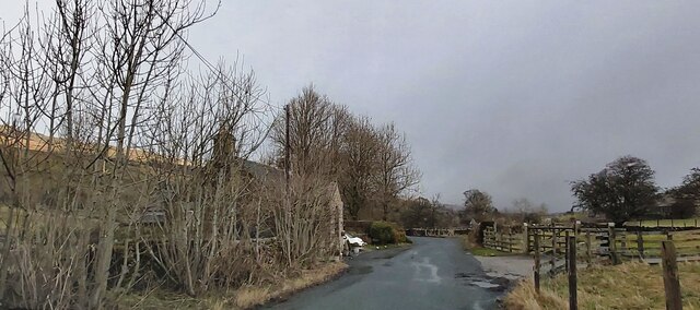
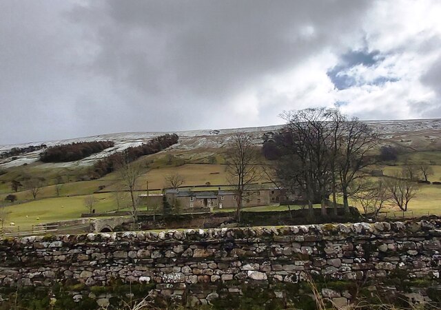
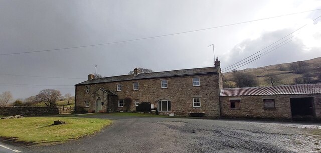
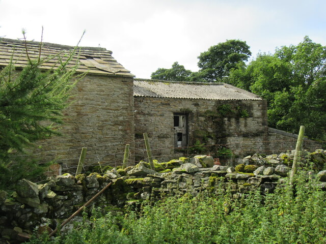
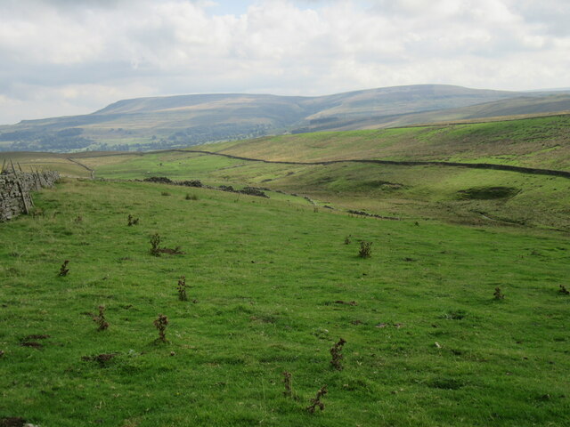
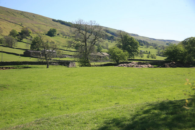
Slade's Plantation is a picturesque woodland area located in the heart of Yorkshire, England. Situated in a serene and tranquil setting, this plantation spans across acres of land, making it an ideal destination for nature enthusiasts, hikers, and those seeking a peaceful retreat.

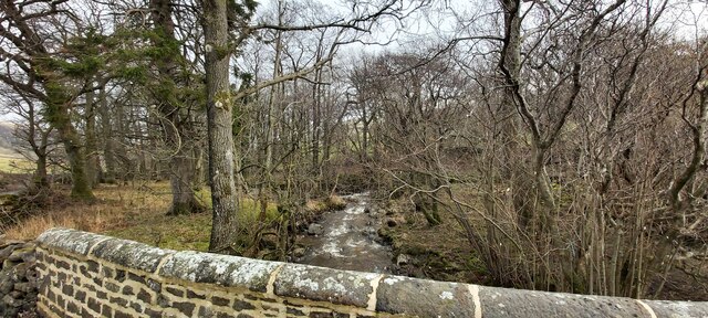
The plantation is predominantly composed of dense woodland, filled with a variety of indigenous trees such as oak, beech, and ash. These towering trees create a canopy that provides shade, shelter, and a habitat for a diverse range of wildlife. Visitors often spot elusive creatures such as deer, foxes, and various bird species during their exploration of the plantation.

Trails wind throughout the plantation, offering visitors the opportunity to immerse themselves in the natural beauty of the surroundings. With well-maintained paths, visitors can embark on leisurely walks or more challenging hikes, discovering hidden gems within the woodland, such as babbling brooks and small clearings perfect for picnics.

Slade's Plantation also boasts an impressive array of plant and flower species, adding bursts of color to the landscape throughout the seasons. From vibrant bluebells in spring to golden leaves in autumn, the plantation offers a captivating display of nature's changing beauty.

Whether it's a leisurely stroll, a family outing, or a chance to reconnect with nature, Slade's Plantation in Yorkshire provides a serene escape from the bustling city life. With its rich biodiversity and stunning scenery, it is a destination that truly captivates all who venture into its peaceful embrace.

If you have any feedback on the listing, please let us know in the comments section below.

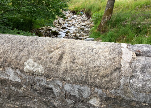
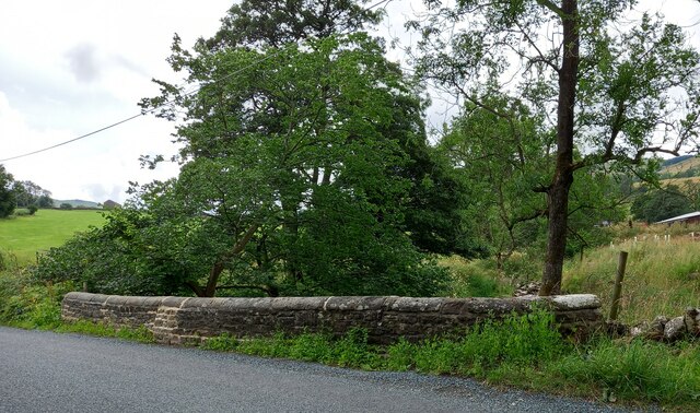
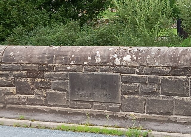
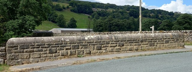
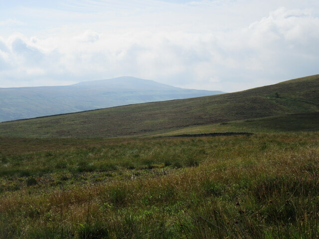
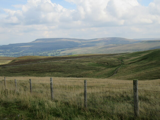
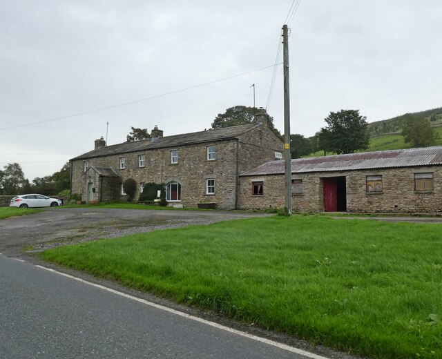
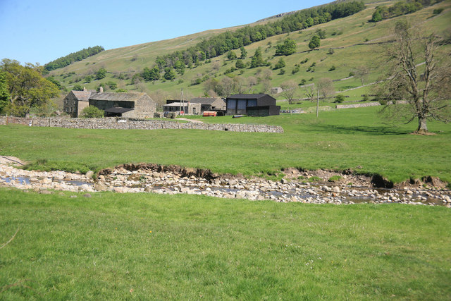
Slade's Plantation Images

Images are sourced within 2km of 54.255264/-2.0511859 or Grid Reference SD9684. Thanks to Geograph Open Source API. All images are credited.

Kidstones Gill Bridge This top stone is on the western parapet of Kidstones Gill Bridge in Bishopdale. The benchmark is still very well defined.
Kidstones Gill Bridge
This top stone is on the western parapet of Kidstones Gill Bridge in Bishopdale. The benchmark is still very well defined.
Kidstones Gill Bridge A wider angle showing the full span of the western parapet of Kidstones Gill Bridge in Bishopdale. There is a benchmark cut into one of the top stones on this parapet, and it remains very clear and defined.
Kidstones Gill Bridge
A wider angle showing the full span of the western parapet of Kidstones Gill Bridge in Bishopdale. There is a benchmark cut into one of the top stones on this parapet, and it remains very clear and defined.
Hargill Bridge Hargill Bridge in Bishopdale crosses Hargill. This date stone is on the eastern parapet. The bridge remains in very good maintained state.
Hargill Bridge
Hargill Bridge in Bishopdale crosses Hargill. This date stone is on the eastern parapet. The bridge remains in very good maintained state.
Hargill Bridge This is the western parapet of Hargill Bridge in Bishopdale, which crosses Hargill. The bridge was rebuilt in 1942, as stated on a date stone on the opposite parapet.
Hargill Bridge
This is the western parapet of Hargill Bridge in Bishopdale, which crosses Hargill. The bridge was rebuilt in 1942, as stated on a date stone on the opposite parapet.
Bishopdale, old schoolhouse The old schoolhouse is on the west side of the B6160, Bishopdale Lane. On the road facing wall, to the left, there is a benchmark cut into the 2nd and 3rd stone courses. It remains very clear with no wear.
Bishopdale, old schoolhouse
The old schoolhouse is on the west side of the B6160, Bishopdale Lane. On the road facing wall, to the left, there is a benchmark cut into the 2nd and 3rd stone courses. It remains very clear with no wear.
Bishopdale, old schoolhouse A wider angle showing the old schoolhouse, which is now converted into a private home, which is on the west side of the B6160, Bishopdale Lane. On the road facing wall, to the left of the grey front door, is a benchmark cut into the 2nd and 3rd stone courses. It remains very clear with no wear.
Bishopdale, old schoolhouse
A wider angle showing the old schoolhouse, which is now converted into a private home, which is on the west side of the B6160, Bishopdale Lane. On the road facing wall, to the left of the grey front door, is a benchmark cut into the 2nd and 3rd stone courses. It remains very clear with no wear.
Kidstones Gill
Kidstones Gill
The Old School House - Bishopdale
Myers Garth Farm
Myers Garth Farm
East Lane House
East Lane House
Gayle Ing Unoccupied Farm on the moors above Thornton Rust.
Gayle Ing
Unoccupied Farm on the moors above Thornton Rust.
Gayle Ing Beck valley Looking east down into the Gayle Ing Beck valley.
Gayle Ing Beck valley
Looking east down into the Gayle Ing Beck valley.
Stake Road view Looking SE from Stake Road.
Stake Road view
Looking SE from Stake Road.
Looking towards Penhill Looking towards Penhill from Stake Road.
Looking towards Penhill
Looking towards Penhill from Stake Road.
East Lane House
East Lane House
A view from Bishopsdale Lane across the fields
Myers Garth in the distance
Waterfall, Stake Fell This unnamed fall is more of a cascade really but still drops around 50ft in a short distance. Recent weather had brought the moorland springs to life. Under normal conditions I think there would hardly be a trickle.
Waterfall, Stake Fell
This unnamed fall is more of a cascade really but still drops around 50ft in a short distance. Recent weather had brought the moorland springs to life. Under normal conditions I think there would hardly be a trickle.
Show me another place!

Slade's Plantation is located at Grid Ref: SD9684 (Lat: 54.255264, Lng: -2.0511859)

Division: North Riding

Administrative County: North Yorkshire

District: Richmondshire

Police Authority: North Yorkshire

What 3 Words

///remaking.asks.cookery. Near Leyburn, North Yorkshire

Related Wikis

Yorkshire Dales

The Yorkshire Dales are an upland area of the Pennines in England. Most of the area is in the county of North Yorkshire, but it extends into Cumbria and...

Bishopdale, North Yorkshire

Bishopdale is a dale in the Yorkshire Dales National Park in North Yorkshire, England. The dale is a side dale on the south side of Wensleydale, and extends...

Castle Dykes Henge

Castle Dykes Henge is a Class I Neolithic henge earthwork in the Yorkshire Dales National Park in North Yorkshire, England, situated between the villages...

Newbiggin, south Wensleydale

Newbiggin is a village and civil parish in Bishopdale, a side dale on the south side of Wensleydale, in the Yorkshire Dales in North Yorkshire, England...

Walden Head

Walden Head is a hamlet in the Yorkshire Dales, North Yorkshire. It lies 5 miles (8 km) of Aysgarth and to the north is a similar village Walden. The village...

Thoralby

Thoralby is a village and civil parish in the Richmondshire district of North Yorkshire, England. It lies south of Aysgarth, is within a mile of both Newbiggin...

Burton-cum-Walden

Burton-cum-Walden is a civil parish in North Yorkshire, England, in the Yorkshire Dales National Park. It had a population of 303 according to the 2011...

Addlebrough

Addlebrough is a fell in Wensleydale, North Yorkshire, England. It is 481 m (1,578 ft) high. Bronze Age inhabitants built homes and enclosures on the fell...

Nearby Amenities

Located within 500m of 54.255264,-2.0511859
Mary Pasture
Natural: moor
Source: os_25k_firstseries
Lat/Long: 54.257801/-2.057202
The data included in this document is from www.openstreetmap.org. The data is made available under ODbL.

Have you been to Slade's Plantation?

Leave your review of Slade's Plantation below (or comments, questions and feedback).