Black Rash Plantation

Wood, Forest in Yorkshire Richmondshire

England

Black Rash Plantation

Kidstones Gill Bridge This top stone is on the western parapet of Kidstones Gill Bridge in Bishopdale. The benchmark is still very well defined.
Kidstones Gill Bridge Credit: Mel Towler

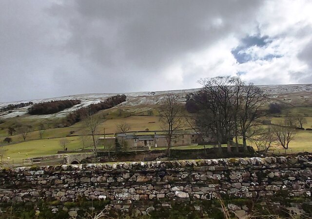
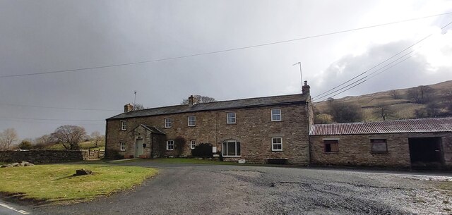
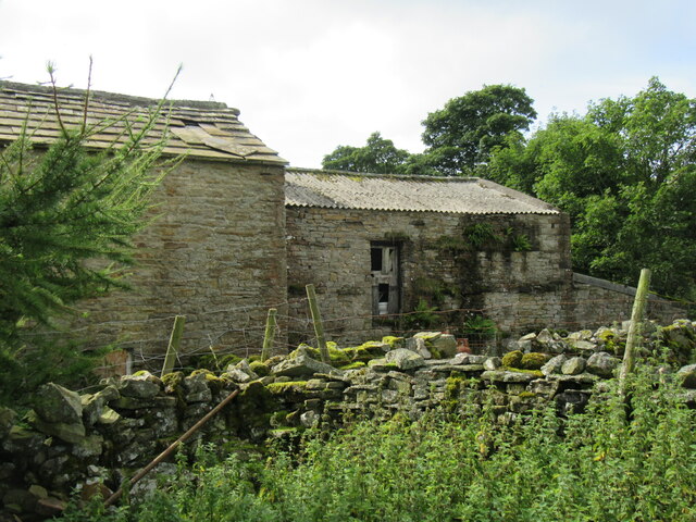
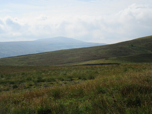
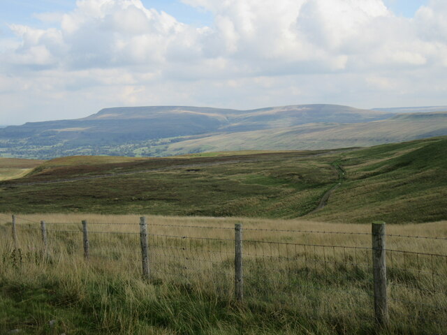
Black Rash Plantation is a sprawling woodland located in the picturesque county of Yorkshire, England. Nestled amidst the rolling hills and verdant landscapes, this woodland covers a vast area and is known for its dense canopy of majestic trees. The plantation is predominantly made up of a variety of hardwood species, including oak, beech, and ash, creating a rich tapestry of colors throughout the seasons.

The plantation is a popular destination for nature enthusiasts and outdoor enthusiasts alike. Its diverse ecosystem supports a wide array of flora and fauna, making it a haven for wildlife. Visitors can spot various woodland creatures such as deer, rabbits, and a plethora of bird species, including woodpeckers and owls.

The woodland offers a network of well-maintained trails that wind through the plantation, providing ample opportunities for hiking, walking, and exploring. These paths are suitable for all levels of fitness and offer scenic views of the surrounding countryside.

Black Rash Plantation is also renowned for its historical significance. It is believed to have been used as a hunting ground by the local nobility in medieval times. The plantation's name is said to have originated from the dark color of the soil in certain areas, giving it a distinctive appearance.

Overall, Black Rash Plantation is a captivating woodland that offers a tranquil escape from the hustle and bustle of city life. Its natural beauty, rich biodiversity, and historical charm make it a must-visit destination for those seeking a connection with nature and a glimpse into Yorkshire's past.

If you have any feedback on the listing, please let us know in the comments section below.

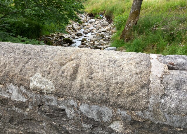
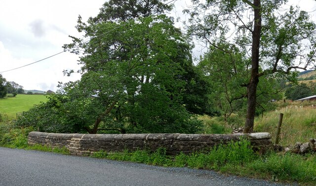
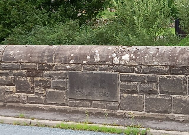
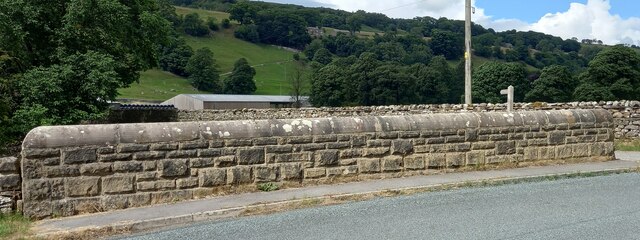
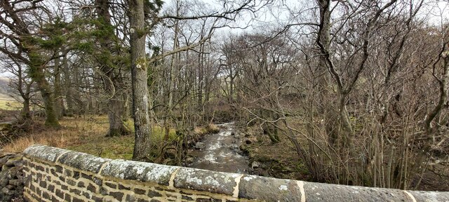
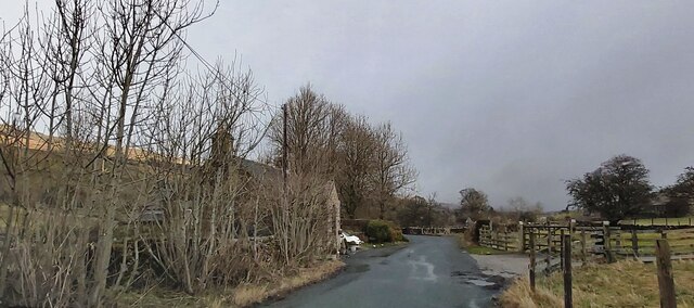
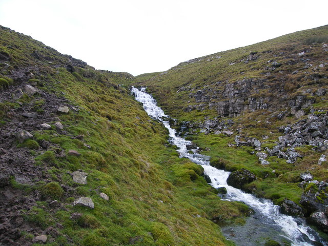
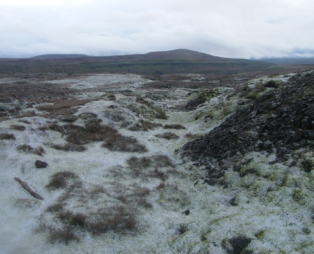
Black Rash Plantation Images

Images are sourced within 2km of 54.254535/-2.0543162 or Grid Reference SD9684. Thanks to Geograph Open Source API. All images are credited.

Kidstones Gill Bridge This top stone is on the western parapet of Kidstones Gill Bridge in Bishopdale. The benchmark is still very well defined.
Kidstones Gill Bridge
This top stone is on the western parapet of Kidstones Gill Bridge in Bishopdale. The benchmark is still very well defined.
Kidstones Gill Bridge A wider angle showing the full span of the western parapet of Kidstones Gill Bridge in Bishopdale. There is a benchmark cut into one of the top stones on this parapet, and it remains very clear and defined.
Kidstones Gill Bridge
A wider angle showing the full span of the western parapet of Kidstones Gill Bridge in Bishopdale. There is a benchmark cut into one of the top stones on this parapet, and it remains very clear and defined.
Hargill Bridge Hargill Bridge in Bishopdale crosses Hargill. This date stone is on the eastern parapet. The bridge remains in very good maintained state.
Hargill Bridge
Hargill Bridge in Bishopdale crosses Hargill. This date stone is on the eastern parapet. The bridge remains in very good maintained state.
Hargill Bridge This is the western parapet of Hargill Bridge in Bishopdale, which crosses Hargill. The bridge was rebuilt in 1942, as stated on a date stone on the opposite parapet.
Hargill Bridge
This is the western parapet of Hargill Bridge in Bishopdale, which crosses Hargill. The bridge was rebuilt in 1942, as stated on a date stone on the opposite parapet.
Bishopdale, old schoolhouse The old schoolhouse is on the west side of the B6160, Bishopdale Lane. On the road facing wall, to the left, there is a benchmark cut into the 2nd and 3rd stone courses. It remains very clear with no wear.
Bishopdale, old schoolhouse
The old schoolhouse is on the west side of the B6160, Bishopdale Lane. On the road facing wall, to the left, there is a benchmark cut into the 2nd and 3rd stone courses. It remains very clear with no wear.
Bishopdale, old schoolhouse A wider angle showing the old schoolhouse, which is now converted into a private home, which is on the west side of the B6160, Bishopdale Lane. On the road facing wall, to the left of the grey front door, is a benchmark cut into the 2nd and 3rd stone courses. It remains very clear with no wear.
Bishopdale, old schoolhouse
A wider angle showing the old schoolhouse, which is now converted into a private home, which is on the west side of the B6160, Bishopdale Lane. On the road facing wall, to the left of the grey front door, is a benchmark cut into the 2nd and 3rd stone courses. It remains very clear with no wear.
Kidstones Gill
Kidstones Gill
The Old School House - Bishopdale
Myers Garth Farm
Myers Garth Farm
East Lane House
East Lane House
Gayle Ing Unoccupied Farm on the moors above Thornton Rust.
Gayle Ing
Unoccupied Farm on the moors above Thornton Rust.
Stake Road view Looking SE from Stake Road.
Stake Road view
Looking SE from Stake Road.
Looking towards Penhill Looking towards Penhill from Stake Road.
Looking towards Penhill
Looking towards Penhill from Stake Road.
East Lane House
East Lane House
A view from Bishopsdale Lane across the fields
Myers Garth in the distance
Waterfall, Stake Fell This unnamed fall is more of a cascade really but still drops around 50ft in a short distance. Recent weather had brought the moorland springs to life. Under normal conditions I think there would hardly be a trickle.
Waterfall, Stake Fell
This unnamed fall is more of a cascade really but still drops around 50ft in a short distance. Recent weather had brought the moorland springs to life. Under normal conditions I think there would hardly be a trickle.
Thoralby Lead Mines A smattering of snow covers the ground at the old disused lead mines high above Bishopdale. Buckden Pike is prominent in the near distance.
Thoralby Lead Mines
A smattering of snow covers the ground at the old disused lead mines high above Bishopdale. Buckden Pike is prominent in the near distance.
Show me another place!

Black Rash Plantation is located at Grid Ref: SD9684 (Lat: 54.254535, Lng: -2.0543162)

Division: North Riding

Administrative County: North Yorkshire

District: Richmondshire

Police Authority: North Yorkshire

What 3 Words

///veered.gangway.acids. Near Leyburn, North Yorkshire

Related Wikis

Yorkshire Dales

The Yorkshire Dales are an upland area of the Pennines in England. Most of the area is in the county of North Yorkshire, but it extends into Cumbria and...

Bishopdale, North Yorkshire

Bishopdale is a dale in the Yorkshire Dales National Park in North Yorkshire, England. The dale is a side dale on the south side of Wensleydale, and extends...

Castle Dykes Henge

Castle Dykes Henge is a Class I Neolithic henge earthwork in the Yorkshire Dales National Park in North Yorkshire, England, situated between the villages...

Newbiggin, south Wensleydale

Newbiggin is a village and civil parish in Bishopdale, a side dale on the south side of Wensleydale, in the Yorkshire Dales in North Yorkshire, England...

Walden Head

Walden Head is a hamlet in the Yorkshire Dales, North Yorkshire. It lies 5 miles (8 km) of Aysgarth and to the north is a similar village Walden. The village...

Thoralby

Thoralby is a village and civil parish in the Richmondshire district of North Yorkshire, England. It lies south of Aysgarth, is within a mile of both Newbiggin...

Addlebrough

Addlebrough is a fell in Wensleydale, North Yorkshire, England. It is 481 m (1,578 ft) high. Bronze Age inhabitants built homes and enclosures on the fell...

Burton-cum-Walden

Burton-cum-Walden is a civil parish in North Yorkshire, England, in the Yorkshire Dales National Park. It had a population of 303 according to the 2011...

Nearby Amenities

Located within 500m of 54.254535,-2.0543162
Mary Pasture
Natural: moor
Source: os_25k_firstseries
Lat/Long: 54.257801/-2.057202
The data included in this document is from www.openstreetmap.org. The data is made available under ODbL.

Have you been to Black Rash Plantation?

Leave your review of Black Rash Plantation below (or comments, questions and feedback).