Ovenstone Plantation

Wood, Forest in Northumberland

England

Ovenstone Plantation

Car park near Hepplewoodside Bridge
Car park near Hepplewoodside Bridge Credit: Gordon Brown

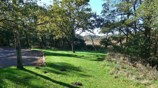
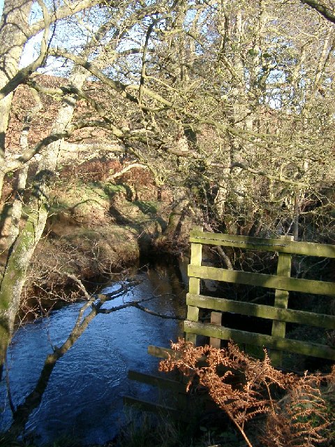
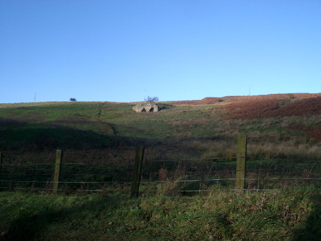
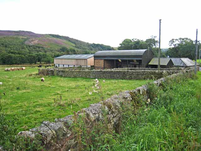
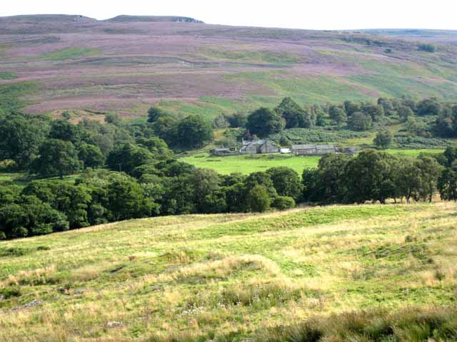
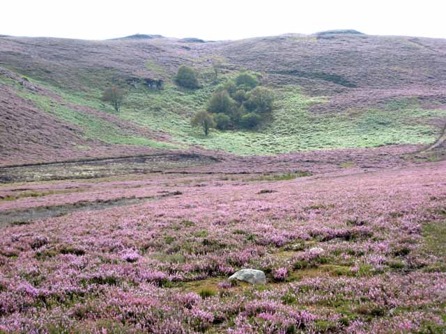
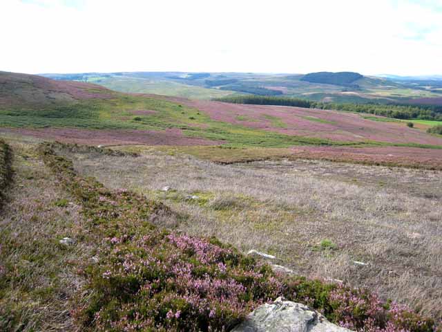
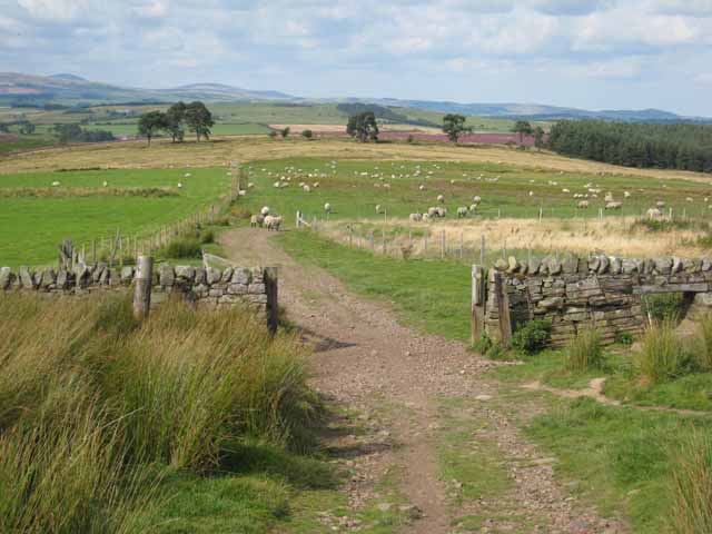
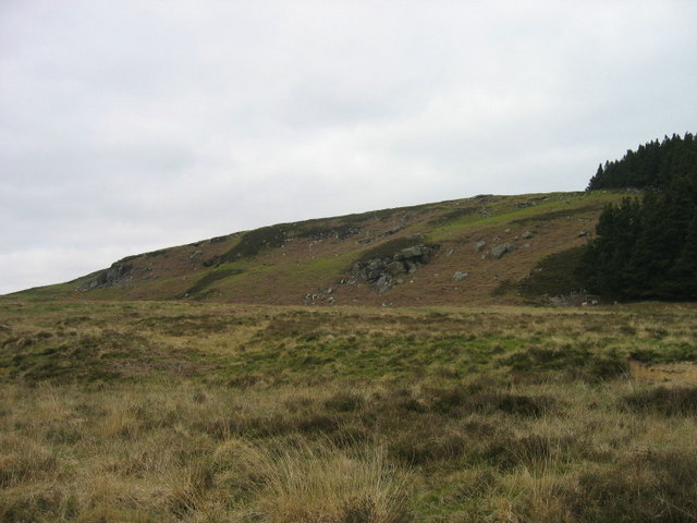
Ovenstone Plantation is a picturesque woodland located in Northumberland, England. Covering a vast area, the plantation is known for its diverse range of trees, making it a haven for nature enthusiasts and a popular destination for outdoor activities.

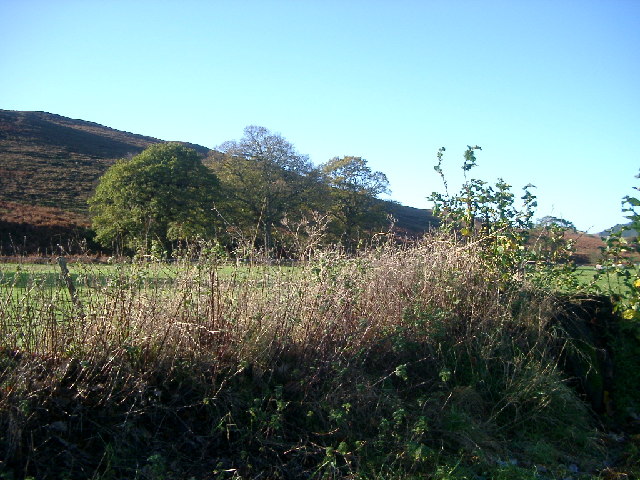
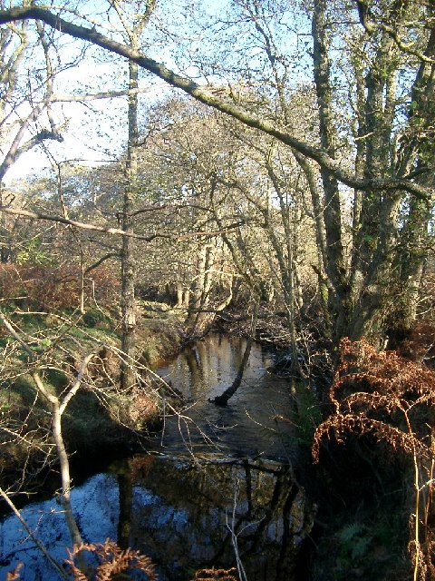
Situated in the heart of Northumberland, Ovenstone Plantation boasts a wide variety of tree species, including oak, beech, ash, and Scots pine. The dense forest provides a home to numerous wildlife species, such as deer, badgers, and a wide array of bird species, making it a haven for wildlife enthusiasts and birdwatchers.

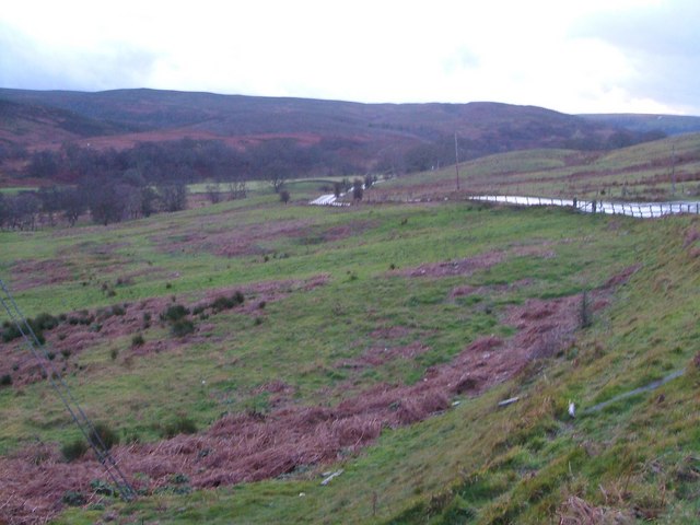
The plantation offers several well-maintained walking trails, allowing visitors to explore the beauty of the woodland while enjoying the fresh air and tranquility. These trails vary in difficulty, catering to both casual walkers and more experienced hikers. Visitors can also opt for guided tours to learn about the history and ecological significance of the plantation.

In addition to its natural beauty, Ovenstone Plantation offers recreational facilities for visitors. There are picnic areas, where families and friends can enjoy a leisurely meal amidst the serene surroundings. The plantation also provides camping facilities, allowing visitors to extend their stay and fully immerse themselves in the beauty of the woodland.

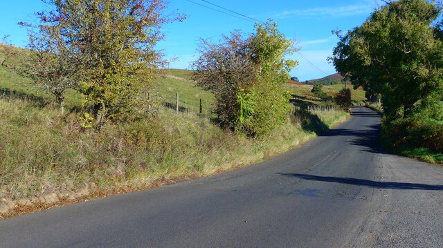
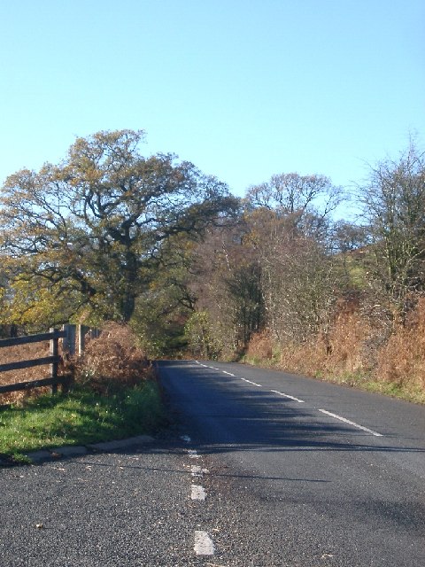
Ovenstone Plantation is easily accessible by car, with ample parking available. It is open year-round, providing visitors with the chance to experience the changing seasons and the unique beauty they bring. Whether you are seeking a peaceful stroll through nature or an adventurous hike, Ovenstone Plantation offers a natural oasis in the heart of Northumberland.

If you have any feedback on the listing, please let us know in the comments section below.

Ovenstone Plantation Images

Images are sourced within 2km of 55.282914/-2.0557022 or Grid Reference NY9698. Thanks to Geograph Open Source API. All images are credited.

Car park near Hepplewoodside Bridge
The B6341 running south of the Otterburn Ranges The red flags were up as we passed, signifying "Firing today".
The B6341 running south of the Otterburn Ranges
The red flags were up as we passed, signifying "Firing today".
Woodhouses Bastle This bastle, located south-west of Holystone Grange, was built in the early 17th century. It is built of coarse stonework and measures 11.5m long by 7.5m wide. Inside is a vaulted basement, the entrance to which is carved with the date 1602. The basement was used to keep animals, but upstairs is the first floor living area. Here, there are a few small windows and two stone wall cupboards, a stone sink, and traces of an original fireplace. The bastle was increased in height in the 18th century when an attic was added and was restored and reroofed in 1904. This is a Scheduled Monument and Grade II* Listed Building protected by law.
<span class="nowrap"><a title="https://keystothepast.info/search-records/results-of-search/results-of-search-2/site-details/?PRN=N1192" rel="nofollow ugc noopener" href="https://keystothepast.info/search-records/results-of-search/results-of-search-2/site-details/?PRN=N1192">Link</a><img style="margin-left:2px;" alt="External link" title="External link - shift click to open in new window" src="https://s1.geograph.org.uk/img/external.png" width="10" height="10"/></span>
Woodhouses Bastle
This bastle, located south-west of Holystone Grange, was built in the early 17th century. It is built of coarse stonework and measures 11.5m long by 7.5m wide. Inside is a vaulted basement, the entrance to which is carved with the date 1602. The basement was used to keep animals, but upstairs is the first floor living area. Here, there are a few small windows and two stone wall cupboards, a stone sink, and traces of an original fireplace. The bastle was increased in height in the 18th century when an attic was added and was restored and reroofed in 1904. This is a Scheduled Monument and Grade II* Listed Building protected by law. LinkExternal link
Storm Arwen Damage at Dry Burn Wood
Near Hepple, under Swindon Hill On the other side of the River Coquet from Hepple.
Near Hepple, under Swindon Hill
On the other side of the River Coquet from Hepple.
Stream near picnic area under Harehaugh Hill Taken down the stream at the picnic area. Stream runs into the River Coquet.
Stream near picnic area under Harehaugh Hill
Taken down the stream at the picnic area. Stream runs into the River Coquet.
Grasslees Burn near picnic area under Harehaugh Hill Taken downstream of the picnic area, towards the River Coquet.
Grasslees Burn near picnic area under Harehaugh Hill
Taken downstream of the picnic area, towards the River Coquet.
Rough pastures southeast of the lime kiln northeast of Grasslees Information about the lime kiln can be found on the Keys to the Past website <span class="nowrap"><a title="http://www.keystothepast.info/durhamcc/K2P.nsf/K2PDetail?readform&PRN=N9713" rel="nofollow ugc noopener" href="http://www.keystothepast.info/durhamcc/K2P.nsf/K2PDetail?readform&PRN=N9713">Link</a><img style="margin-left:2px;" alt="External link" title="External link - shift click to open in new window" src="https://s1.geograph.org.uk/img/external.png" width="10" height="10"/></span> .
Rough pastures southeast of the lime kiln northeast of Grasslees
Information about the lime kiln can be found on the Keys to the Past website LinkExternal link .
Road and trees, B6341 taken from the Parking marked on the OS map
Road and trees, B6341
taken from the Parking marked on the OS map
Grasslees Burn valley Looking up the valley from the edge of Ovenstone Plantation in a howling gale on New Year's Eve. The B6341 drops to cross some side streams on its way from Rothbury to Otterburn. In the background are the hills of Harwood Forest.
Grasslees Burn valley
Looking up the valley from the edge of Ovenstone Plantation in a howling gale on New Year's Eve. The B6341 drops to cross some side streams on its way from Rothbury to Otterburn. In the background are the hills of Harwood Forest.
Barn at Grasslees On the B6341 Otterburn to Rothbury road which at this point also forms part of the Pennine Cycleway.
Barn at Grasslees
On the B6341 Otterburn to Rothbury road which at this point also forms part of the Pennine Cycleway.
Midgy Ha Farm in the valley of the Grasslees Burn The hill on the skyline is Whitefield Hill <a href="https://www.geograph.org.uk/gridref/NY9897">NY9897</a>.
Midgy Ha Farm in the valley of the Grasslees Burn
The hill on the skyline is Whitefield Hill NY9897.
Sandy Crags Heather moorland.
Sandy Crags
Heather moorland.
Moorland above Hepplewoodside Looking across the valley of the Grasslees Burn.
Moorland above Hepplewoodside
Looking across the valley of the Grasslees Burn.
Beehives at Swindon in the valley of the Grasslees Burn
Fields above Hepple Whitefield On the bridleway down from the top of Harwood Forest to lower Coquetdale (in distance).
Fields above Hepple Whitefield
On the bridleway down from the top of Harwood Forest to lower Coquetdale (in distance).
Piper's Shaws
Piper's Shaws
Show me another place!

Ovenstone Plantation is located at Grid Ref: NY9698 (Lat: 55.282914, Lng: -2.0557022)

Unitary Authority: Northumberland

Police Authority: Northumbria

What 3 Words

///shackles.pronouns.landlords. Near Otterburn, Northumberland

Related Wikis

High Cove

High Cove is a major slip feature to the west of Grasslees Burn in the Simonside Hills, Northumberland, England. It contains several small rifts and caves...

Hepple

Hepple is a small village and parish in rural Northumberland, 4 miles (6.4 km) west of Rothbury, which provides most of its local services. It is on the...

Billsmoor Park and Grasslees Wood

Billsmoor Park and Grasslees Wood is the name given to a Site of Special Scientific Interest (SSSI) in Northumberland, North East England, designated in...

Reivers Way

The Reivers Way is a long-distance footpath in Northumberland, passing through the Northumberland National Park and the Cheviot Hills. Totalling 242 kilometres...

Holystone, Northumberland

Holystone is a small village and former civil parish, now in the parish of Harbottle, in Northumberland, England. It lies on the edge of (and just within...

Tosson Hill

Tosson Hill is the highest hill in the Simonside Hills to the south of Rothbury in Northumberland, England. The summit lies about 2 kilometres (1.2 mi...

Sharperton

Sharperton is a small settlement and former civil parish, now in the parish of Harbottle, in Northumberland, England. Sharperton is the site of a deserted...

Harwood Forest

Harwood Forest is a 3,527 hectares (8,720 acres) conifer plantation located to the south of Rothbury in North Northumberland, England, and managed by Forestry...

Nearby Amenities

Located within 500m of 55.282914,-2.0557022
Power: pole
Lat/Long: 55.2865038/-2.053281
Power: pole
Lat/Long: 55.2789972/-2.0555587
Power: pole
Lat/Long: 55.2800389/-2.0549587
Power: pole
Lat/Long: 55.2804855/-2.0538201
Power: pole
Lat/Long: 55.2810271/-2.0544001
Power: pole
Lat/Long: 55.2810304/-2.0523895
Power: pole
Lat/Long: 55.2815379/-2.062909
Power: pole
Lat/Long: 55.281572/-2.0509761
Power: pole
Lat/Long: 55.2817204/-2.0548214
Power: pole
Lat/Long: 55.2819505/-2.0558879
Power: pole
Lat/Long: 55.2820607/-2.0619966
Power: pole
Lat/Long: 55.2823597/-2.057676
Power: pole
Lat/Long: 55.2825832/-2.0610746
Power: pole
Lat/Long: 55.2830866/-2.0601971
Power: pole
Lat/Long: 55.2835602/-2.0597711
Power: pole
Lat/Long: 55.2840395/-2.0593916
Power: pole
Lat/Long: 55.2845577/-2.0589877
Power: pole
Lat/Long: 55.2852214/-2.0584557
Power: pole
Lat/Long: 55.2858621/-2.0579408
The data included in this document is from www.openstreetmap.org. The data is made available under ODbL.

Have you been to Ovenstone Plantation?

Leave your review of Ovenstone Plantation below (or comments, questions and feedback).