Kiddies Wood

Wood, Forest in Northumberland

England

Kiddies Wood

Car park near Hepplewoodside Bridge
Car park near Hepplewoodside Bridge Credit: Gordon Brown

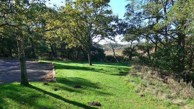
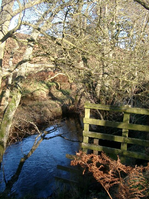
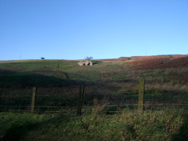
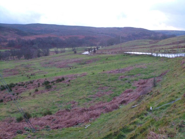
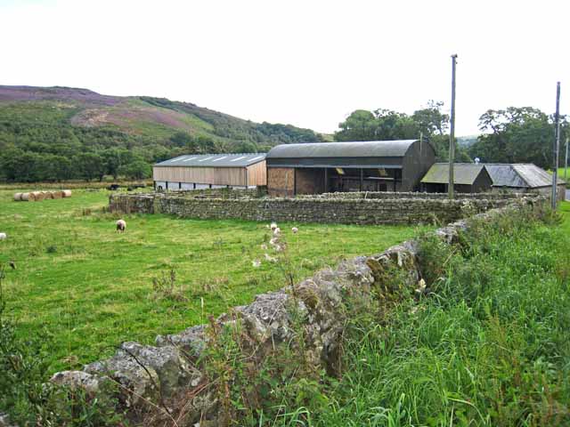
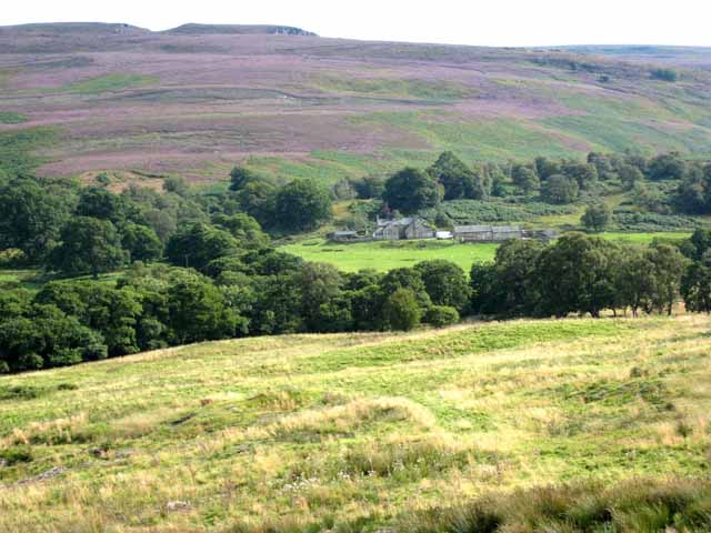
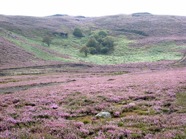
Kiddies Wood is a charming forest located in Northumberland, England. Spanning over an area of approximately 50 acres, this woodland is a beloved destination for nature enthusiasts, families, and outdoor adventurers.

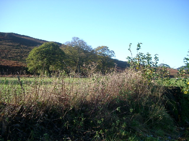
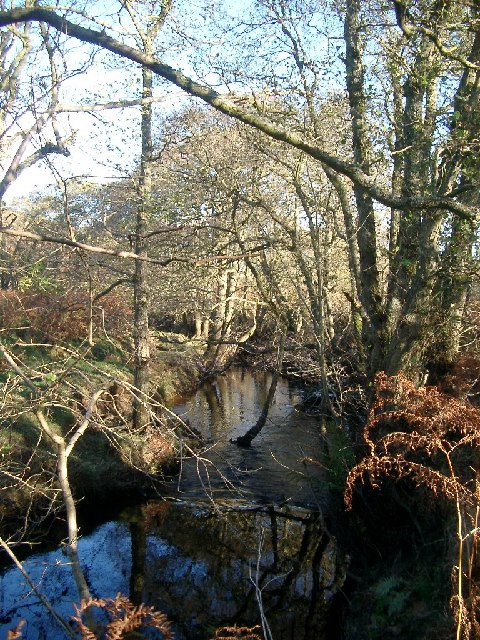
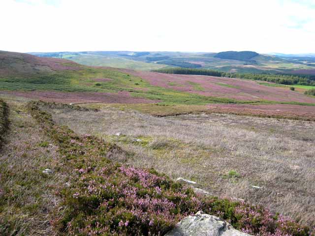
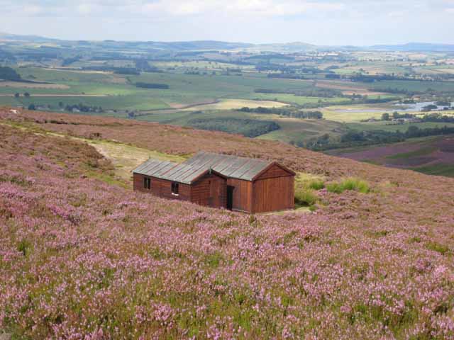
The wood is primarily composed of dense, native trees such as oak, birch, and beech, which create a lush and vibrant canopy overhead. The forest floor is covered with a variety of wildflowers, ferns, and mosses, adding to the enchanting atmosphere of the wood.

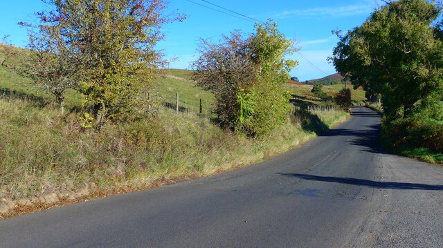
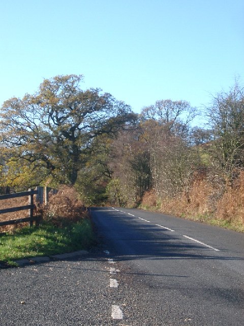
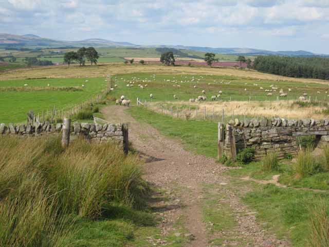
Kiddies Wood offers a network of well-maintained walking trails, allowing visitors to explore its diverse landscape at their own pace. These trails range in difficulty, catering to both casual strollers and avid hikers. Along the way, visitors are likely to encounter a diverse range of wildlife, including deer, squirrels, and a plethora of bird species.

For families, Kiddies Wood provides an array of amenities to enhance their experience. There are picnic areas scattered throughout the forest, providing the perfect spot for a leisurely lunch amidst nature. Additionally, there is a small playground area for children to enjoy, featuring swings and slides.

The wood is open to the public year-round, with no admission fee. However, visitors are encouraged to follow the guidelines of Leave No Trace, ensuring the preservation of the natural beauty that Kiddies Wood offers. With its tranquil ambiance, stunning flora, and abundant wildlife, this Northumberland woodland is a must-visit destination for anyone seeking a peaceful retreat in nature.

If you have any feedback on the listing, please let us know in the comments section below.

Kiddies Wood Images

Images are sourced within 2km of 55.278657/-2.0502497 or Grid Reference NY9698. Thanks to Geograph Open Source API. All images are credited.

Car park near Hepplewoodside Bridge
The B6341 running south of the Otterburn Ranges The red flags were up as we passed, signifying "Firing today".
The B6341 running south of the Otterburn Ranges
The red flags were up as we passed, signifying "Firing today".
Storm Arwen Damage at Dry Burn Wood
Near Hepple, under Swindon Hill On the other side of the River Coquet from Hepple.
Near Hepple, under Swindon Hill
On the other side of the River Coquet from Hepple.
Stream near picnic area under Harehaugh Hill Taken down the stream at the picnic area. Stream runs into the River Coquet.
Stream near picnic area under Harehaugh Hill
Taken down the stream at the picnic area. Stream runs into the River Coquet.
Grasslees Burn near picnic area under Harehaugh Hill Taken downstream of the picnic area, towards the River Coquet.
Grasslees Burn near picnic area under Harehaugh Hill
Taken downstream of the picnic area, towards the River Coquet.
Rough pastures southeast of the lime kiln northeast of Grasslees Information about the lime kiln can be found on the Keys to the Past website <span class="nowrap"><a title="http://www.keystothepast.info/durhamcc/K2P.nsf/K2PDetail?readform&PRN=N9713" rel="nofollow ugc noopener" href="http://www.keystothepast.info/durhamcc/K2P.nsf/K2PDetail?readform&PRN=N9713">Link</a><img style="margin-left:2px;" alt="External link" title="External link - shift click to open in new window" src="https://s1.geograph.org.uk/img/external.png" width="10" height="10"/></span> .
Rough pastures southeast of the lime kiln northeast of Grasslees
Information about the lime kiln can be found on the Keys to the Past website LinkExternal link .
Road and trees, B6341 taken from the Parking marked on the OS map
Road and trees, B6341
taken from the Parking marked on the OS map
Hepple Whitefield A small country house built in the mid 19th century for Sir J W B Riddell. The house was altered in the 1890s, by J Hodgson Fowler, probably at the same time he rebuilt nearby Hepple Church in 1892.
Hepple Whitefield
A small country house built in the mid 19th century for Sir J W B Riddell. The house was altered in the 1890s, by J Hodgson Fowler, probably at the same time he rebuilt nearby Hepple Church in 1892.
Grasslees Burn valley Looking up the valley from the edge of Ovenstone Plantation in a howling gale on New Year's Eve. The B6341 drops to cross some side streams on its way from Rothbury to Otterburn. In the background are the hills of Harwood Forest.
Grasslees Burn valley
Looking up the valley from the edge of Ovenstone Plantation in a howling gale on New Year's Eve. The B6341 drops to cross some side streams on its way from Rothbury to Otterburn. In the background are the hills of Harwood Forest.
Barn at Grasslees On the B6341 Otterburn to Rothbury road which at this point also forms part of the Pennine Cycleway.
Barn at Grasslees
On the B6341 Otterburn to Rothbury road which at this point also forms part of the Pennine Cycleway.
Midgy Ha Farm in the valley of the Grasslees Burn The hill on the skyline is Whitefield Hill <a href="https://www.geograph.org.uk/gridref/NY9897">NY9897</a>.
Midgy Ha Farm in the valley of the Grasslees Burn
The hill on the skyline is Whitefield Hill NY9897.
Sandy Crags Heather moorland.
Sandy Crags
Heather moorland.
Moorland above Hepplewoodside Looking across the valley of the Grasslees Burn.
Moorland above Hepplewoodside
Looking across the valley of the Grasslees Burn.
Beehives at Swindon in the valley of the Grasslees Burn
Shooting cabins, Whitefield Hill One of the Northumberland grouse moors, with extensive views over lower Coquetdale.
Shooting cabins, Whitefield Hill
One of the Northumberland grouse moors, with extensive views over lower Coquetdale.
Fields above Hepple Whitefield On the bridleway down from the top of Harwood Forest to lower Coquetdale (in distance).
Fields above Hepple Whitefield
On the bridleway down from the top of Harwood Forest to lower Coquetdale (in distance).
Show me another place!

Kiddies Wood is located at Grid Ref: NY9698 (Lat: 55.278657, Lng: -2.0502497)

Unitary Authority: Northumberland

Police Authority: Northumbria

What 3 Words

///intruded.discusses.same. Near Rothbury, Northumberland

Related Wikis

High Cove

High Cove is a major slip feature to the west of Grasslees Burn in the Simonside Hills, Northumberland, England. It contains several small rifts and caves...

Hepple

Hepple is a small village and parish in rural Northumberland, 4 miles (6.4 km) west of Rothbury, which provides most of its local services. It is on the...

Reivers Way

The Reivers Way is a long-distance footpath in Northumberland, passing through the Northumberland National Park and the Cheviot Hills. Totalling 242 kilometres...

Billsmoor Park and Grasslees Wood

Billsmoor Park and Grasslees Wood is the name given to a Site of Special Scientific Interest (SSSI) in Northumberland, North East England, designated in...

Tosson Hill

Tosson Hill is the highest hill in the Simonside Hills to the south of Rothbury in Northumberland, England. The summit lies about 2 kilometres (1.2 mi...

Holystone, Northumberland

Holystone is a small village and former civil parish, now in the parish of Harbottle, in Northumberland, England. It lies on the edge of (and just within...

Harwood Forest

Harwood Forest is a 3,527 hectares (8,720 acres) conifer plantation located to the south of Rothbury in North Northumberland, England, and managed by Forestry...

Sharperton

Sharperton is a small settlement and former civil parish, now in the parish of Harbottle, in Northumberland, England. Sharperton is the site of a deserted...

Nearby Amenities

Located within 500m of 55.278657,-2.0502497
Power: pole
Lat/Long: 55.2779669/-2.0560927
Power: pole
Lat/Long: 55.2789972/-2.0555587
Power: pole
Lat/Long: 55.2800389/-2.0549587
Power: pole
Lat/Long: 55.2804855/-2.0538201
Power: pole
Lat/Long: 55.2810271/-2.0544001
Power: pole
Lat/Long: 55.2810304/-2.0523895
Power: pole
Lat/Long: 55.281572/-2.0509761
Power: pole
Lat/Long: 55.2817204/-2.0548214
The data included in this document is from www.openstreetmap.org. The data is made available under ODbL.

Have you been to Kiddies Wood?

Leave your review of Kiddies Wood below (or comments, questions and feedback).