Shute Plantation
Wood, Forest in Wiltshire
England
Shute Plantation

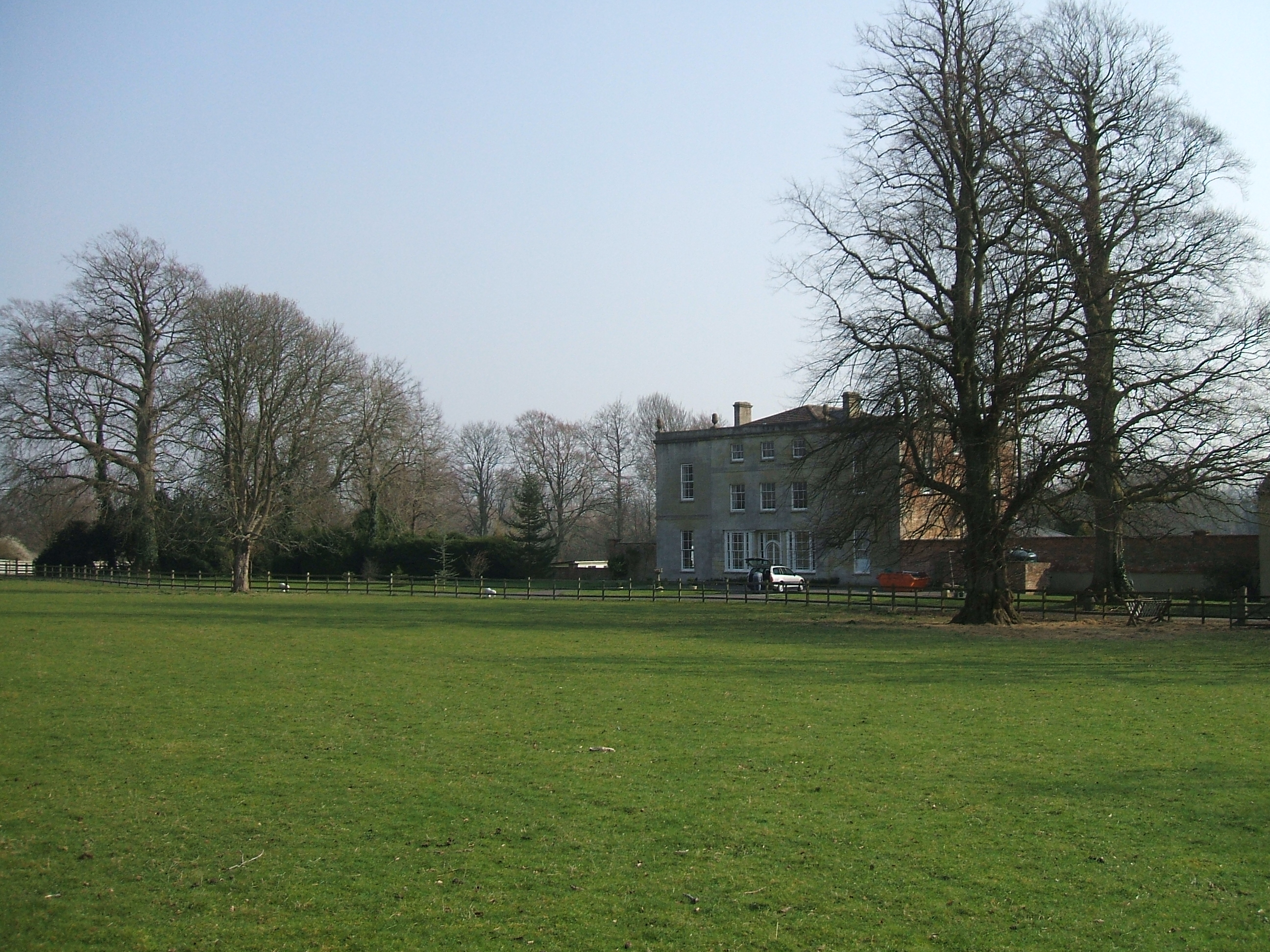
Shute Plantation is a picturesque woodland area located in the county of Wiltshire, England. Spanning over a vast expanse of land, it is known for its dense forest and natural beauty. The plantation is situated in the southern part of the county, near the town of Warminster.
The woodland is primarily composed of a variety of tree species, including oak, beech, and conifers. These trees create a rich and diverse habitat for a wide range of wildlife, making it a popular destination for nature enthusiasts and birdwatchers. Visitors can expect to see an array of bird species, such as woodpeckers, owls, and various songbirds.
Shute Plantation offers several walking trails and paths, allowing visitors to explore the woodland at their leisure. These trails wind their way through the forest, providing opportunities for peaceful walks and a chance to immerse oneself in nature. The paths are well-maintained and signposted, making navigation easy for visitors.
The plantation also boasts a small picnic area, where visitors can enjoy a packed lunch amidst the tranquil surroundings. Additionally, there are designated areas for camping and barbecuing, making it an ideal spot for those looking to spend more time in the great outdoors.
Overall, Shute Plantation in Wiltshire is a captivating woodland area, well-known for its breathtaking scenery and abundant wildlife. Whether it be for a leisurely stroll or a day of exploration, this natural gem offers a serene escape from the hustle and bustle of everyday life.
If you have any feedback on the listing, please let us know in the comments section below.
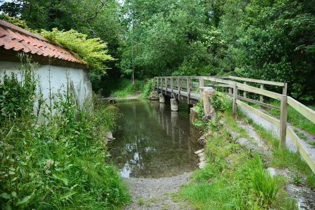
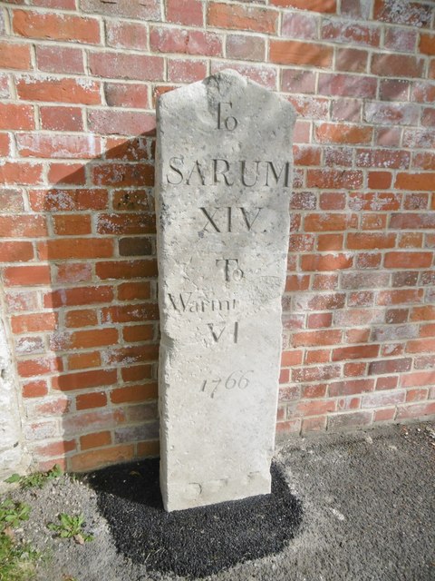
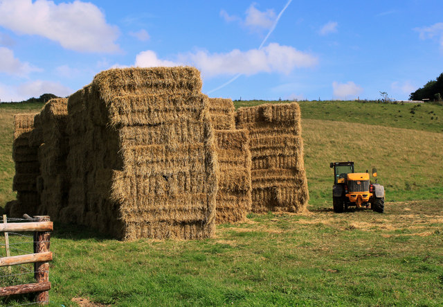
Shute Plantation Images
Images are sourced within 2km of 51.145026/-2.0456092 or Grid Reference ST9638. Thanks to Geograph Open Source API. All images are credited.


Shute Plantation is located at Grid Ref: ST9638 (Lat: 51.145026, Lng: -2.0456092)
Unitary Authority: Wiltshire
Police Authority: Wiltshire
What 3 Words
///sleepless.unwind.rebounded. Near Codford, Wiltshire
Nearby Locations
Related Wikis

Sherrington
Sherrington is a small village and civil parish on the River Wylye in Wiltshire, England. The part of the Great Ridge Wood known as Snailcreep Hanging...
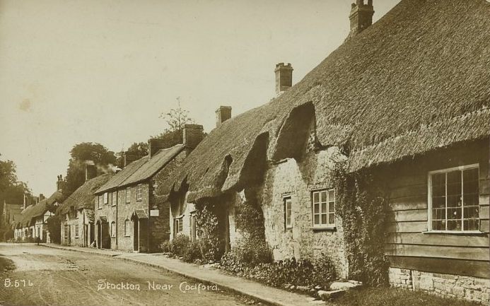
Stockton, Wiltshire
Stockton is a small village and civil parish in the Wylye Valley in Wiltshire, England, about 8 miles (13 km) southeast of Warminster. The parish includes...

Woolstore Theatre
The Woolstore Theatre is a theatre in the village of Codford, Wiltshire, England. The theatre has been operating since 1928, when it was built by Colonel...

Codford
Codford is a civil parish south of Salisbury Plain in the Wylye Valley in Wiltshire, England. Its settlements are the adjacent villages of Codford St Peter...
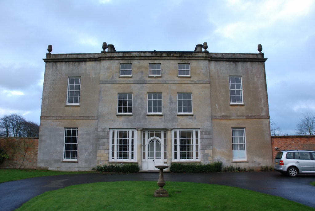
Ashton Gifford House
Ashton Gifford House is a Grade II listed country house in the hamlet of Ashton Gifford, part of the civil parish of Codford in the English county of Wiltshire...
Greenways School
Greenways School, also known as Greenways Preparatory School, was an English prep school, founded at Bognor Regis, Sussex, before the Second World War...
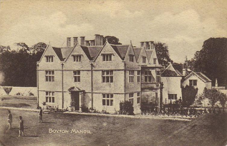
Boyton, Wiltshire
Boyton is a village and civil parish in Wiltshire, England. It lies in the Wylye Valley within Salisbury Plain, about 6 miles (10 km) south-east of Warminster...

Stockton Wood and Down
Stockton Wood and Down (grid reference ST958366) is a 61.5 hectare biological Site of Special Scientific Interest in the southwest of Stockton parish in...
Nearby Amenities
Located within 500m of 51.145026,-2.0456092Have you been to Shute Plantation?
Leave your review of Shute Plantation below (or comments, questions and feedback).