Little Down

Downs, Moorland in Dorset

England

Little Down

Modern day hedge trimming Hedge trimming near The Cliff.
Modern day hedge trimming Credit: Peter Kazmierczak

Little Down is a picturesque village located in the county of Dorset, England. Situated amidst the stunning landscape of the Downs and Moorland, this small community is known for its natural beauty and tranquil atmosphere.

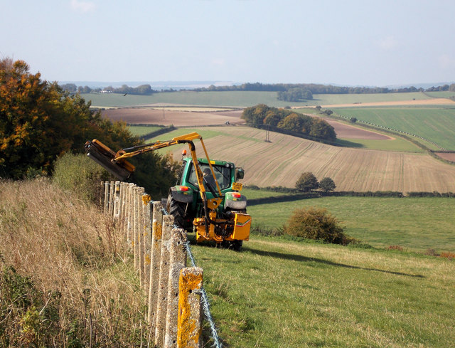
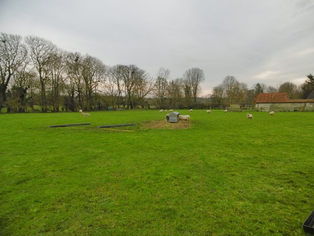
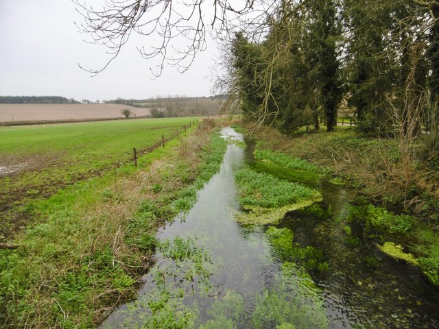
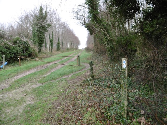
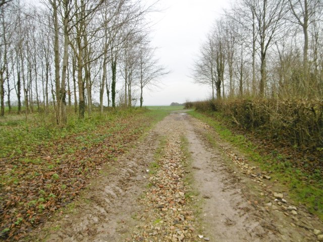
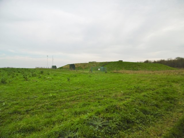
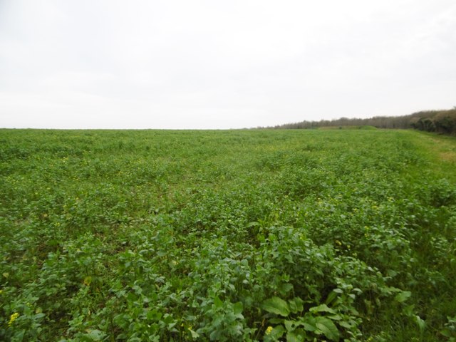
Nestled in a valley between rolling hills, Little Down offers breathtaking views of the surrounding countryside. The village is surrounded by vast expanses of open moorland, which is home to a diverse range of flora and fauna. The moorland provides a haven for various species of birds, making it a popular destination for birdwatching enthusiasts.

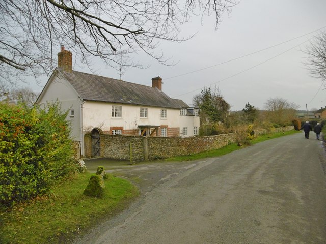
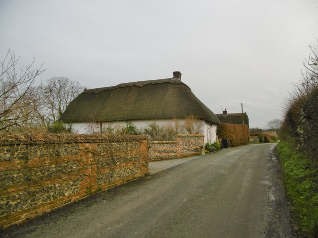
The village itself is characterized by its charming thatched cottages, which add to the idyllic ambiance of the area. The community is closely knit, with a strong sense of community spirit. Residents often come together for various events and social gatherings, fostering a warm and friendly atmosphere.

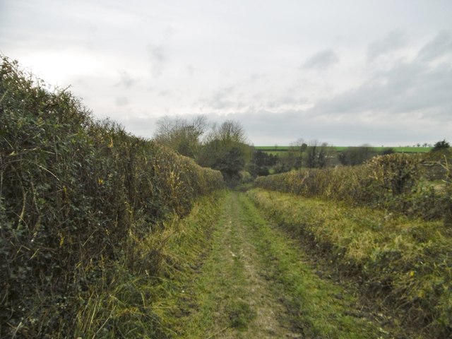
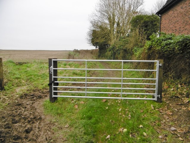
For outdoor enthusiasts, Little Down offers a wealth of opportunities for exploration and adventure. The Downs provide ample opportunities for hiking, cycling, and horseback riding, with numerous trails and paths to discover. The moorland is also a popular spot for nature walks and picnics, allowing visitors to immerse themselves in the stunning scenery.

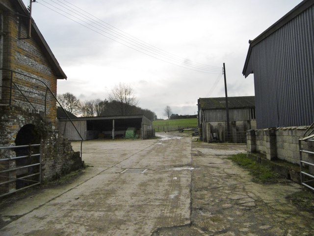
Despite its rural location, Little Down is conveniently located near several amenities. The nearby town of Dorchester provides easy access to shopping centers, restaurants, and entertainment options.

In summary, Little Down in Dorset is a hidden gem, offering visitors and residents alike a chance to experience the beauty of the Downs and Moorland. With its charming village atmosphere and stunning natural surroundings, it is a place where one can truly escape the hustle and bustle of city life.

If you have any feedback on the listing, please let us know in the comments section below.
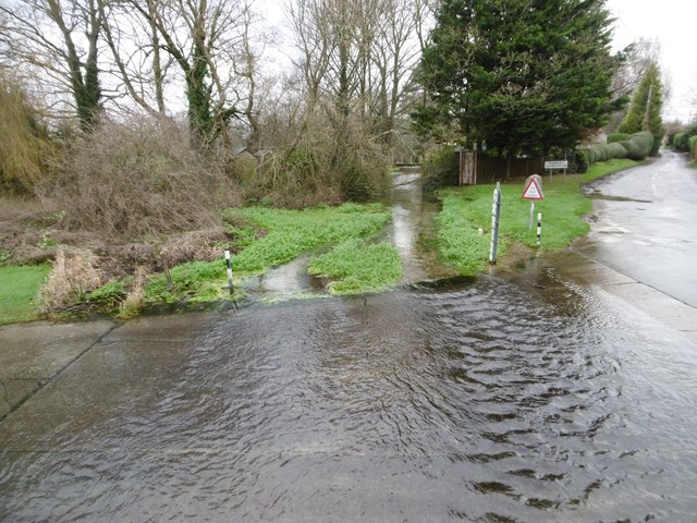
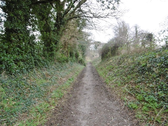
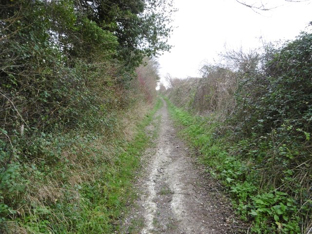
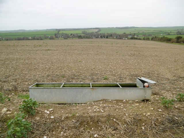
Little Down Images

Images are sourced within 2km of 50.874379/-2.0621137 or Grid Reference ST9508. Thanks to Geograph Open Source API. All images are credited.

Modern day hedge trimming Hedge trimming near The Cliff.
Modern day hedge trimming
Hedge trimming near The Cliff.
Tarrant Monkton, sheep grazing In the background, trees lining the Tarrant.
Tarrant Monkton, sheep grazing
In the background, trees lining the Tarrant.
Tarrant Monkton, Common Drove Former drove road from downland to the village; now a restricted byway.
Tarrant Monkton, Common Drove
Former drove road from downland to the village; now a restricted byway.
Tarrant Monkton, gate At the beginning of Common Drove, a restricted byway from the village to downland.
Tarrant Monkton, gate
At the beginning of Common Drove, a restricted byway from the village to downland.
Tarrant Monkton, the Tarrant Looking downstream at a chalk river/stream that rises in Tarrant Gunville, and joins the Stour at Tarrant Crawford.
Tarrant Monkton, the Tarrant
Looking downstream at a chalk river/stream that rises in Tarrant Gunville, and joins the Stour at Tarrant Crawford.
Tarrant Monkton, Manor Farm
Tarrant Monkton, Bay Farmhouse Early C19 farmhouse, listed by English Heritage: <span class="nowrap"><a title="http://www.imagesofengland.org.uk/Details/Default.aspx?id=103715&mode=adv" rel="nofollow ugc noopener" href="http://www.imagesofengland.org.uk/Details/Default.aspx?id=103715&mode=adv">Link</a><img style="margin-left:2px;" alt="External link" title="External link - shift click to open in new window" src="https://s1.geograph.org.uk/img/external.png" width="10" height="10"/></span>
Tarrant Monkton, Bay Farmhouse
Early C19 farmhouse, listed by English Heritage: LinkExternal link
Tarrant Monkton, Orchard Cottage Cob and thatch cottage; like many in the village, end-on to the road.
Tarrant Monkton, Orchard Cottage
Cob and thatch cottage; like many in the village, end-on to the road.
Tarrant Monkton, ford Carrying a village street across the Tarrant; footbridge to the right.
Tarrant Monkton, ford
Carrying a village street across the Tarrant; footbridge to the right.
Tarrant Monkton, the Tarrant Looking upstream at a chalk river/stream that rises in Tarrant Gunville, and joins the Stour at Tarrant Crawford.
Tarrant Monkton, the Tarrant
Looking upstream at a chalk river/stream that rises in Tarrant Gunville, and joins the Stour at Tarrant Crawford.
Tarrant Monkton, Turner's Lane Byway and farm road from the village to downland.
Tarrant Monkton, Turner's Lane
Byway and farm road from the village to downland.
Tarrant Monkton, Turner's Lane Byway and farm road from the village to downland.
Tarrant Monkton, Turner's Lane
Byway and farm road from the village to downland.
Tarrant Monkton, trough Currently disused, as it is in a stubble field; looking down the Tarrant Valley towards the village.
Tarrant Monkton, trough
Currently disused, as it is in a stubble field; looking down the Tarrant Valley towards the village.
Tarrant Monkton, marker Ahead, the bridleway towards Launceston Down.
Tarrant Monkton, marker
Ahead, the bridleway towards Launceston Down.
Long Crichel, bridleway Through Launceston Wood, towards Launceston Down.
Long Crichel, bridleway
Through Launceston Wood, towards Launceston Down.
Long Crichel, reservoir
Long Crichel, rape field Some plants are already in flower, despite the season.
Long Crichel, rape field
Some plants are already in flower, despite the season.
Long Crichel, bridleway junction Ahead, to Launceston Down; right, towards Woodlands.
Long Crichel, bridleway junction
Ahead, to Launceston Down; right, towards Woodlands.
Show me another place!

Little Down is located at Grid Ref: ST9508 (Lat: 50.874379, Lng: -2.0621137)

Unitary Authority: Dorset

Police Authority: Dorset

What 3 Words

///joints.prouder.king. Near Pimperne, Dorset

Related Wikis

Tarrant Monkton

Tarrant Monkton is a village and civil parish in north Dorset, England, situated in the Tarrant Valley about four miles (six kilometres) east-northeast...

Tarrant Launceston

Tarrant Launceston is a small village and civil parish in north Dorset, England, situated in the Tarrant Valley 5 miles (8 kilometres) northeast of Blandford...

Bryanston SSSI, Dorset

Bryanston SSSI (grid reference ST974070) is a 0.3 hectare biological Site of Special Scientific Interest in Dorset, England notified in 1977. It is used...

Tarrant Rawston

Tarrant Rawston is a hamlet and civil parish in the county of Dorset in southern England. It is named after the River Tarrant which flows through the parish...

Long Crichel

Long Crichel () is a small village and former civil parish, now in the parish of Crichel, in east Dorset, England, situated on Cranborne Chase five miles...

St Mary's Church, Long Crichel

St Mary's Church is in the village of Long Crichel, Dorset, England. It is a redundant Anglican parish church that has been under the care of the Friends...

RAF Tarrant Rushton

Royal Air Force Tarrant Rushton or more simply RAF Tarrant Rushton is a former Royal Air Force station near the village of Tarrant Rushton east of Blandford...

Knowlton Hundred

Knowlton Hundred was a hundred in the county of Dorset, England, containing the following parishes: Gussage All Saints Long Crichel Woodlands == See... ==

Nearby Amenities

Located within 500m of 50.874379,-2.0621137
Material: wood
Power: pole
Source: bing
Lat/Long: 50.8751359/-2.0683761
Material: wood
Power: pole
Source: bing
Lat/Long: 50.8758688/-2.0672844
Material: wood
Power: pole
Source: bing
Lat/Long: 50.8765999/-2.0661579
Material: wood
Power: pole
Source: bing
Lat/Long: 50.877813/-2.0661707
The data included in this document is from www.openstreetmap.org. The data is made available under ODbL.

Have you been to Little Down?

Leave your review of Little Down below (or comments, questions and feedback).