Bakestonedale Moor
Downs, Moorland in Cheshire
England
Bakestonedale Moor

The requested URL returned error: 429 Too Many Requests
If you have any feedback on the listing, please let us know in the comments section below.
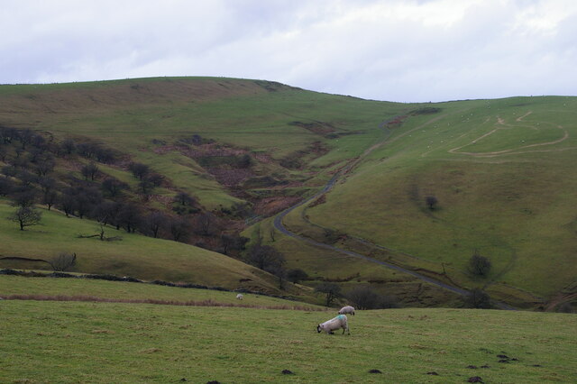
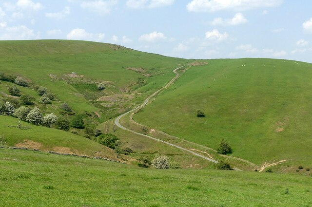
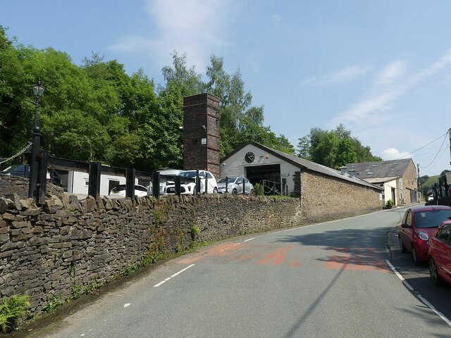
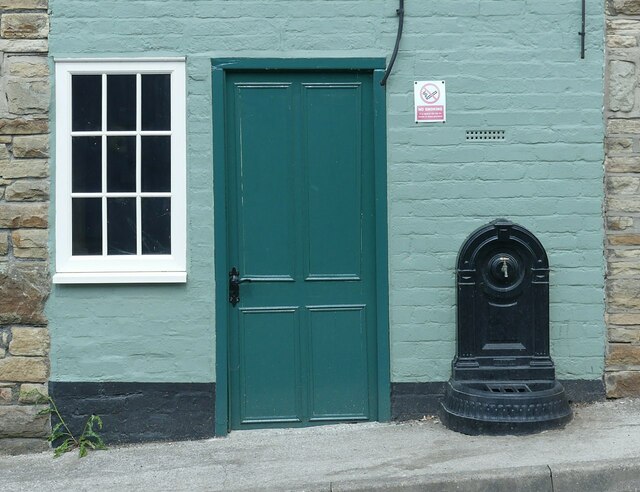
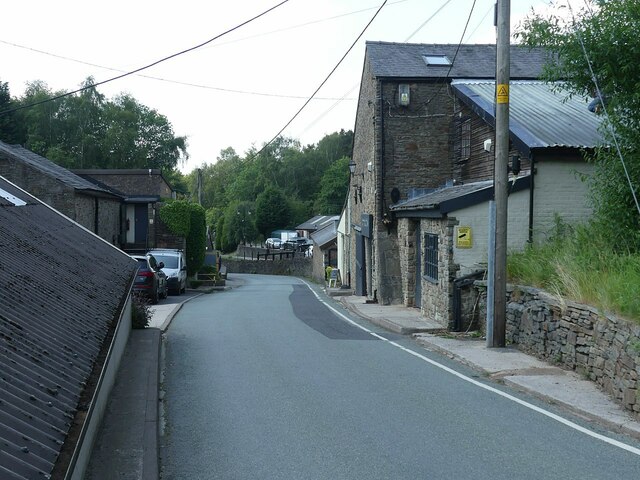
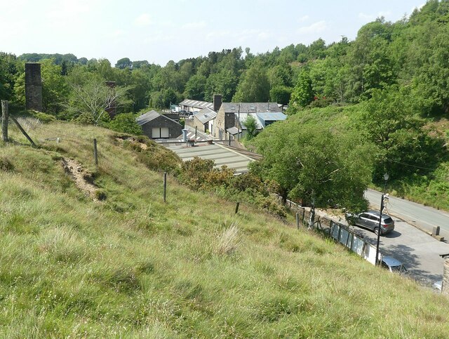
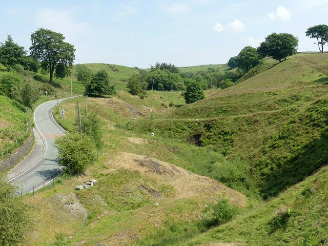
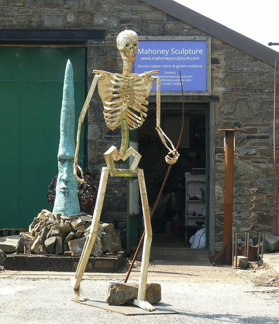
Bakestonedale Moor Images
Images are sourced within 2km of 53.316733/-2.0656613 or Grid Reference SJ9579. Thanks to Geograph Open Source API. All images are credited.


Bakestonedale Moor is located at Grid Ref: SJ9579 (Lat: 53.316733, Lng: -2.0656613)
Unitary Authority: Cheshire East
Police Authority: Cheshire
What 3 Words
///denoting.definite.weeded. Near Pott Shrigley, Cheshire
Nearby Locations
Related Wikis

Shrigley Hall
Shrigley Hall is a former country house standing to the northwest of the village of Pott Shrigley, Cheshire, England. It has since been used as a school...

Leonard Haigh
Leonard Haigh (19 October 1880 – 6 August 1916) was an English rugby player. He won seven caps for England between 1910 and 1911, and also represented...
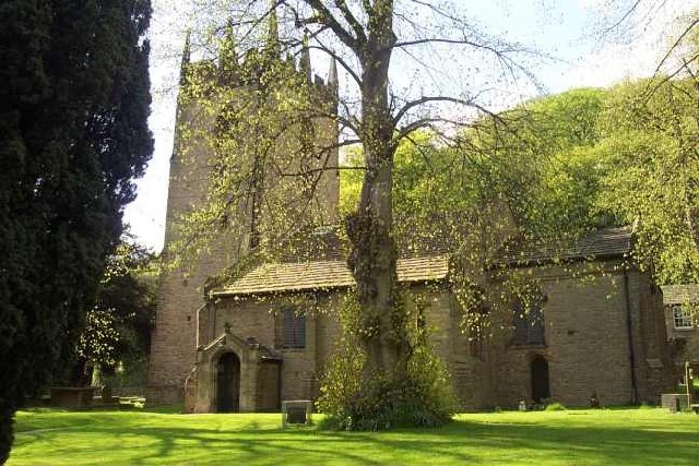
St Christopher's Church, Pott Shrigley
St Christopher's Church is in the small village of Pott Shrigley, Cheshire, England. The church is recorded in the National Heritage List for England...
Pott Shrigley
Pott Shrigley is a small village and civil parish in the unitary authority of Cheshire East and the ceremonial county of Cheshire, England. According...
Nearby Amenities
Located within 500m of 53.316733,-2.0656613Have you been to Bakestonedale Moor?
Leave your review of Bakestonedale Moor below (or comments, questions and feedback).