Redland Plantation
Wood, Forest in Dorset
England
Redland Plantation
Redland Plantation, located in Dorset, is a historic property encompassing a vast area of woodlands and forests. Situated in the southeastern region of England, this plantation is renowned for its rich natural beauty and diverse ecosystem.
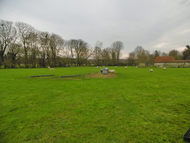
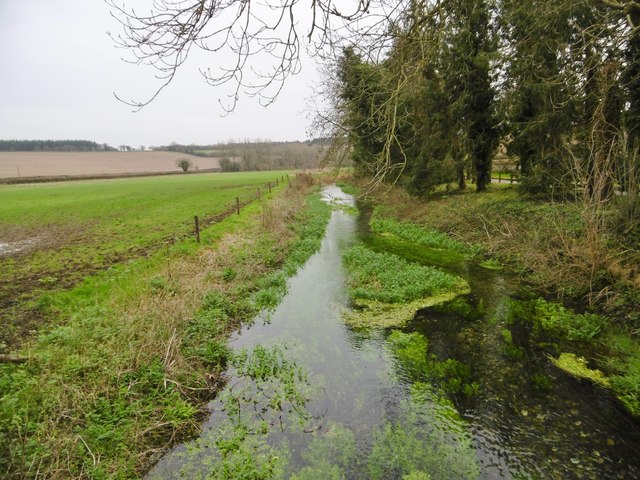
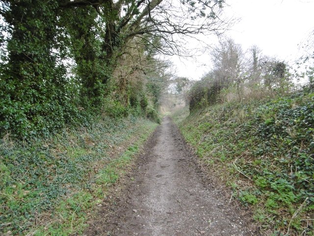
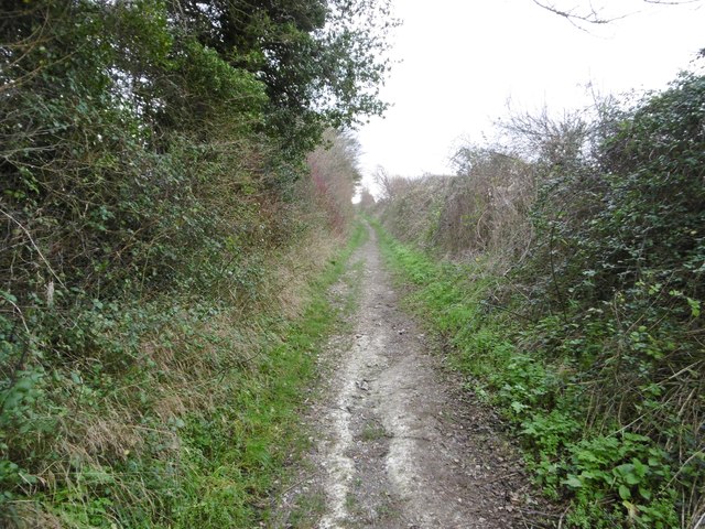
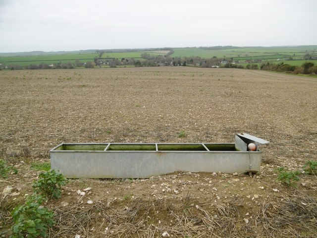
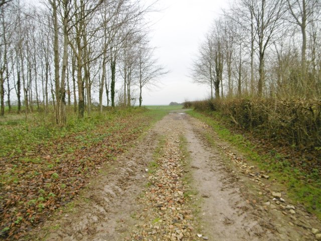
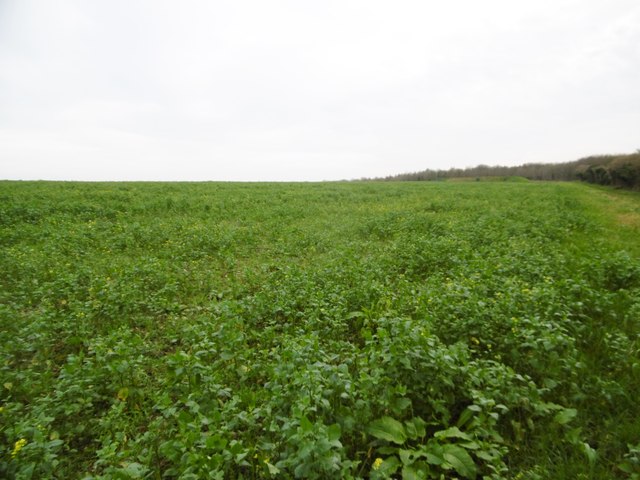
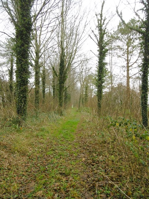
Covering an expansive area of approximately 500 acres, Redland Plantation is a haven for wildlife and flora enthusiasts. The plantation boasts a variety of tree species, including oak, beech, and birch, which create a picturesque landscape throughout the year. The dense forests provide a habitat for several native animal species, such as deer, foxes, and various bird species, making it a popular destination for nature lovers and birdwatchers.
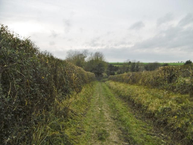
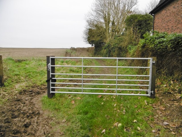
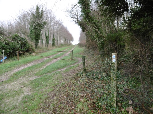
Redland Plantation also offers recreational opportunities for visitors. With well-maintained walking trails, visitors can explore the plantation's woodlands, enjoying the tranquil ambiance and peaceful surroundings. The trails are suitable for hikers of all skill levels and offer breathtaking views of the surrounding countryside.
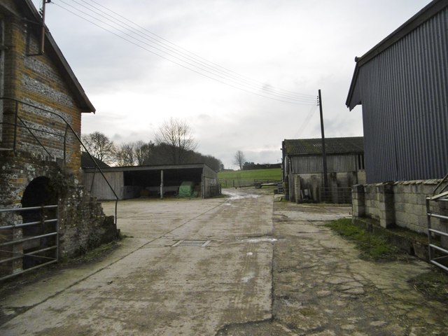
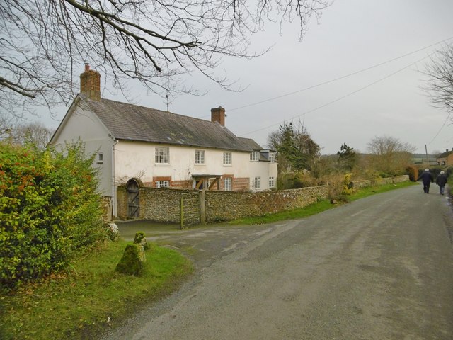
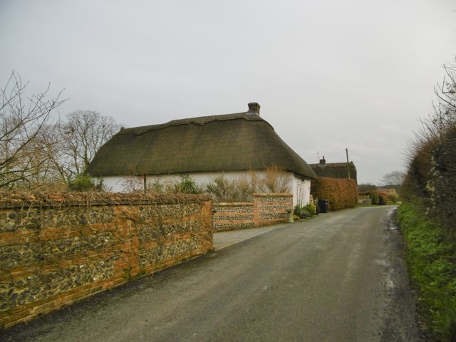
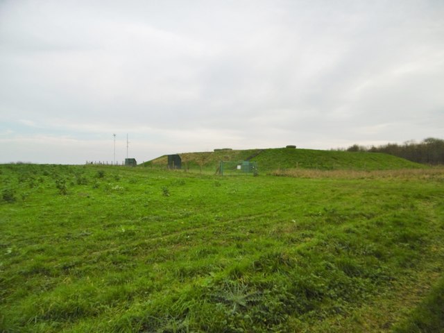
The history of Redland Plantation dates back several centuries. Originally established as a working plantation in the 18th century, it played a significant role in the region's agricultural industry. Today, remnants of the plantation's past can still be seen through the presence of old stone farmhouses and barns, providing a glimpse into the area's historical significance.
Overall, Redland Plantation in Dorset is a captivating destination for nature enthusiasts, offering a harmonious blend of history, natural beauty, and recreational activities. Whether visitors are seeking a peaceful escape or an opportunity to immerse themselves in the region's history, this plantation is sure to leave a lasting impression.
If you have any feedback on the listing, please let us know in the comments section below.
Redland Plantation Images
Images are sourced within 2km of 50.877673/-2.0583231 or Grid Reference ST9508. Thanks to Geograph Open Source API. All images are credited.


Redland Plantation is located at Grid Ref: ST9508 (Lat: 50.877673, Lng: -2.0583231)
Unitary Authority: Dorset
Police Authority: Dorset
What 3 Words
///newlyweds.couriers.knots. Near Pimperne, Dorset
Nearby Locations
Related Wikis

Tarrant Monkton
Tarrant Monkton is a village and civil parish in north Dorset, England, situated in the Tarrant Valley about four miles (six kilometres) east-northeast...

Tarrant Launceston
Tarrant Launceston is a small village and civil parish in north Dorset, England, situated in the Tarrant Valley 5 miles (8 kilometres) northeast of Blandford...

Bryanston SSSI, Dorset
Bryanston SSSI (grid reference ST974070) is a 0.3 hectare biological Site of Special Scientific Interest in Dorset, England notified in 1977. It is used...

Long Crichel
Long Crichel () is a small village and former civil parish, now in the parish of Crichel, in east Dorset, England, situated on Cranborne Chase five miles...

St Mary's Church, Long Crichel
St Mary's Church is in the village of Long Crichel, Dorset, England. It is a redundant Anglican parish church that has been under the care of the Friends...
Knowlton Hundred
Knowlton Hundred was a hundred in the county of Dorset, England, containing the following parishes: Gussage All Saints Long Crichel Woodlands == See... ==

Tarrant Rawston
Tarrant Rawston is a hamlet and civil parish in the county of Dorset in southern England. It is named after the River Tarrant which flows through the parish...

Great Dorset Steam Fair
The Great Dorset Steam Fair (abbreviated GDSF, and since 2010 also known as The National Heritage Show) is an annual show featuring steam-powered vehicles...
Have you been to Redland Plantation?
Leave your review of Redland Plantation below (or comments, questions and feedback).