Harkstead
Settlement in Suffolk Babergh
England
Harkstead
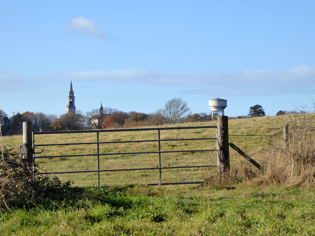
Harkstead is a quaint village located in the county of Suffolk, England. Situated on the Shotley Peninsula, it overlooks the beautiful River Orwell and offers breathtaking views of the surrounding countryside. With a population of around 400 residents, Harkstead is a peaceful and close-knit community.
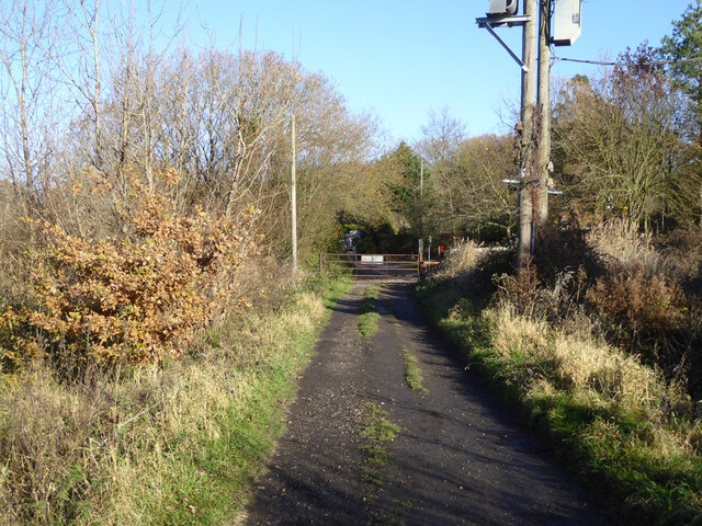
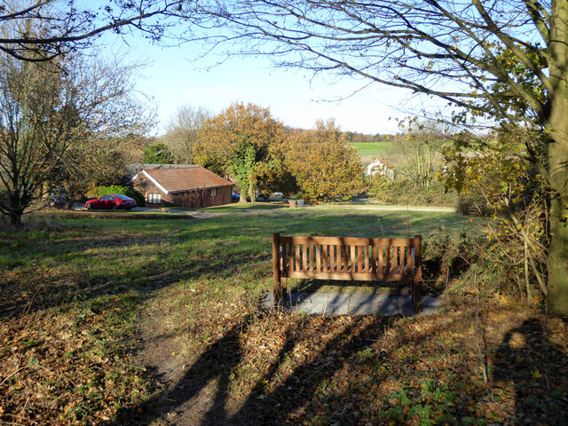
The village is known for its picturesque landscapes, with rolling hills, meandering streams, and charming country lanes. It is an ideal destination for nature lovers and outdoor enthusiasts, offering numerous walking and cycling routes that showcase the area's natural beauty.
Harkstead is home to St Mary's Church, a historic landmark dating back to the 14th century. This fascinating architectural gem features stunning stained glass windows and a peaceful churchyard, providing a serene setting for reflection and contemplation.
The village also boasts a vibrant community spirit, with various local events and activities organized throughout the year. The Harkstead Farmers' Market is a popular attraction, offering a wide range of locally sourced produce and handmade crafts.
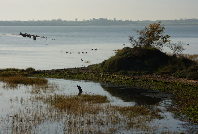
For those seeking recreational activities, nearby attractions include Alton Water, a picturesque reservoir where visitors can enjoy sailing, windsurfing, and fishing. Harkstead also offers easy access to the coastal towns of Felixstowe and Ipswich, where visitors can explore sandy beaches, historic landmarks, and cultural attractions.
Overall, Harkstead is a delightful village where tranquility, natural beauty, and community spirit converge, making it a charming destination for residents and visitors alike.
If you have any feedback on the listing, please let us know in the comments section below.
Harkstead Images
Images are sourced within 2km of 51.972034/1.192939 or Grid Reference TM1935. Thanks to Geograph Open Source API. All images are credited.


Harkstead is located at Grid Ref: TM1935 (Lat: 51.972034, Lng: 1.192939)
Administrative County: Suffolk
District: Babergh
Police Authority: Suffolk
What 3 Words
///ballroom.respond.extension. Near Holbrook, Suffolk
Nearby Locations
Related Wikis

Harkstead
Harkstead is a village and civil parish in the county of Suffolk, England. The village is located on the northern bank of the River Stour estuary at Holbrook...

Chelmondiston
Chelmondiston is a small village and civil parish in Suffolk, England located on the Shotley Peninsula, five miles south-east of Ipswich. The hamlet of...
Stour Estuary
Stour Estuary is a 2,523 hectare biological and geological Site of Special Scientific Interest which stretches from Manningtree to Harwich in Essex and...

Erwarton
Erwarton or Arwarton is a small village and civil parish in the Babergh district of Suffolk, England. The parish includes the hamlet of Shop Corner. Located...

Holbrook, Suffolk
Holbrook is a village situated close to the northern shore of the estuary of the River Stour, in Suffolk, England. It is located on the Shotley Peninsula...

Royal Hospital School
The Royal Hospital School (usually shortened as "RHS" and historically nicknamed "The Cradle of the Navy") is a British co-educational fee-charging boarding...

Pin Mill
Pin Mill is a hamlet on the south bank of the tidal River Orwell, on the outskirts of the village of Chelmondiston, on the Shotley peninsula in southern...
Holbrook Academy, Suffolk
Holbrook Academy is a secondary school with academy status located in the village of Holbrook, 5 miles (8 km) south of Ipswich in the English county of...
Nearby Amenities
Located within 500m of 51.972034,1.192939Have you been to Harkstead?
Leave your review of Harkstead below (or comments, questions and feedback).