Pond Wood
Wood, Forest in Suffolk Babergh
England
Pond Wood
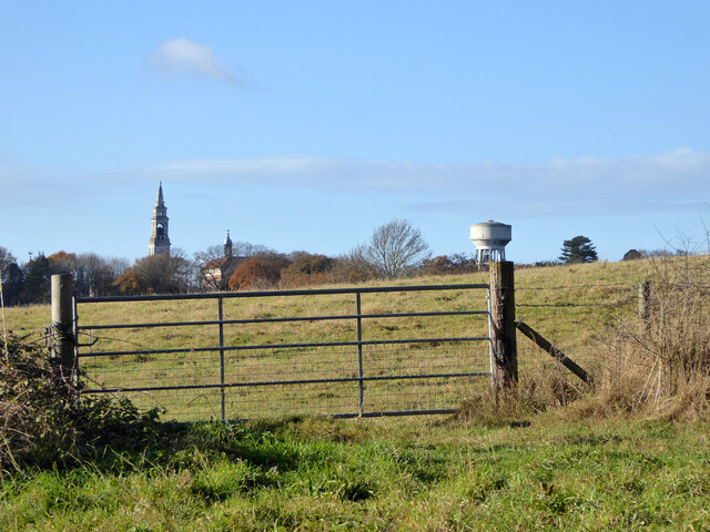
Pond Wood is a picturesque forest located in Suffolk, England. Covering an area of approximately 100 acres, it is a popular destination for nature enthusiasts and outdoor lovers.
The wood is characterized by its diverse range of flora and fauna, offering visitors a unique opportunity to explore and appreciate the natural beauty of the area. Tall, majestic oak and beech trees dominate the landscape, creating a dense canopy that provides a cool and tranquil atmosphere even on the hottest of days.
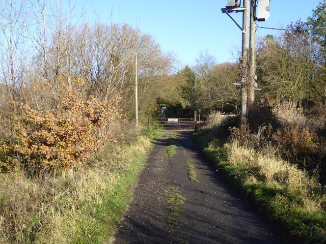
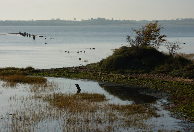
Walking trails crisscross through the wood, allowing visitors to navigate their way through the enchanting forest. The paths are well-maintained, making it easy for hikers and cyclists to enjoy the surroundings. Along the way, there are several ponds scattered throughout the wood, adding to its charm and providing habitats for various species of waterfowl and amphibians.
Pond Wood is also home to an array of wildlife. Birdwatchers can spot a variety of avian species, including woodpeckers, owls, and songbirds. Squirrels and rabbits are common sightings, and if lucky, one might catch a glimpse of a deer or fox in their natural habitat.
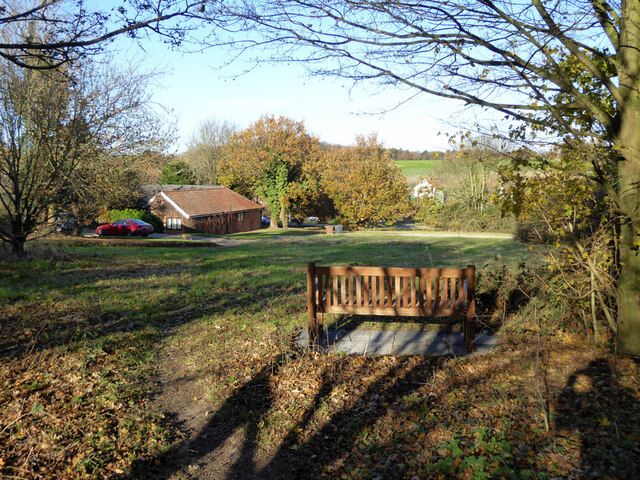
Beyond its natural beauty, Pond Wood also offers recreational activities. Picnic areas are available for families and friends to enjoy a meal amidst the serene atmosphere. The wood is also a popular spot for photography, with its stunning scenery providing ample opportunities for capturing beautiful shots.
Pond Wood is a true gem in the heart of Suffolk, offering a peaceful retreat for those seeking solace in nature's embrace.
If you have any feedback on the listing, please let us know in the comments section below.
Pond Wood Images
Images are sourced within 2km of 51.973146/1.190112 or Grid Reference TM1935. Thanks to Geograph Open Source API. All images are credited.


Pond Wood is located at Grid Ref: TM1935 (Lat: 51.973146, Lng: 1.190112)
Administrative County: Suffolk
District: Babergh
Police Authority: Suffolk
What 3 Words
///pulsing.keyboards.carbonate. Near Holbrook, Suffolk
Nearby Locations
Related Wikis

Harkstead
Harkstead is a village and civil parish in the county of Suffolk, England. The village is located on the northern bank of the River Stour estuary at Holbrook...

Chelmondiston
Chelmondiston is a small village and civil parish in Suffolk, England located on the Shotley Peninsula, five miles south-east of Ipswich. The hamlet of...
Stour Estuary
Stour Estuary is a 2,523 hectare biological and geological Site of Special Scientific Interest which stretches from Manningtree to Harwich in Essex and...

Holbrook, Suffolk
Holbrook is a village situated close to the northern shore of the estuary of the River Stour, in Suffolk, England. It is located on the Shotley Peninsula...

Erwarton
Erwarton or Arwarton is a small village and civil parish in the Babergh district of Suffolk, England. The parish includes the hamlet of Shop Corner. Located...

Royal Hospital School
The Royal Hospital School (usually shortened as "RHS" and historically nicknamed "The Cradle of the Navy") is a British co-educational fee-charging boarding...
Holbrook Academy, Suffolk
Holbrook Academy is a secondary school with academy status located in the village of Holbrook, 5 miles (8 km) south of Ipswich in the English county of...

Pin Mill
Pin Mill is a hamlet on the south bank of the tidal River Orwell, on the outskirts of the village of Chelmondiston, on the Shotley peninsula in southern...
Nearby Amenities
Located within 500m of 51.973146,1.190112Have you been to Pond Wood?
Leave your review of Pond Wood below (or comments, questions and feedback).