Court Wood

Wood, Forest in Kent Canterbury

England

Court Wood

Stained glass window, St. Vincent's Church, Littlebourne At the east end of the south aisle. The church of St Vincent of Saragossa dates from the 13th century and is thought to have been founded by the monks of St Augustine's Abbey in Canterbury. It is a Grade I listed building.
Stained glass window, St. Vincent's Church, Littlebourne Credit: pam fray

Court Wood is a captivating forest located in Kent, England. Spread over a sprawling area, it is known for its serene surroundings and diverse flora and fauna. The wood is situated near the town of Westerham and is easily accessible by road.

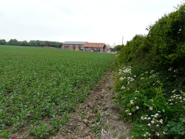
Court Wood is a mixed woodland, consisting of a variety of tree species such as oak, beech, birch, and pine. The lush greenery and dense canopy provide a perfect habitat for numerous bird species, including woodpeckers, tits, and warblers. The forest floor is adorned with beautiful wildflowers during the spring season, adding to the enchanting atmosphere.

The wood is crisscrossed by a network of well-maintained walking trails, allowing visitors to explore its beauty at their own pace. These trails provide a peaceful and immersive experience, with occasional clearings that offer picturesque views of the surrounding countryside. Wildlife enthusiasts can spot various mammals such as deer, foxes, and squirrels while traversing the woodland.

Court Wood has a rich history, with some parts dating back several centuries. It has been traditionally managed as a coppice woodland, which involves periodically cutting back certain trees to encourage new growth. This traditional practice not only supports the growth of different plant species but also helps maintain a diverse ecosystem.

The wood is open to the public throughout the year, and visitors can enjoy activities such as hiking, birdwatching, and photography. With its tranquil ambiance and natural beauty, Court Wood is a haven for nature lovers and an ideal destination for those seeking a peaceful retreat amidst the charm of the Kentish countryside.

If you have any feedback on the listing, please let us know in the comments section below.
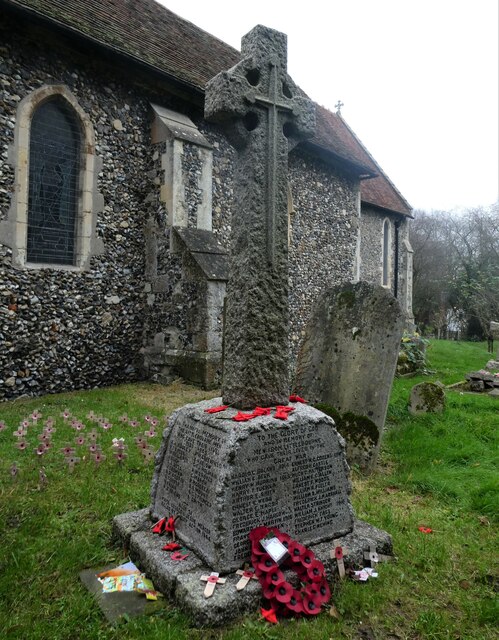
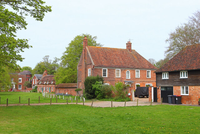
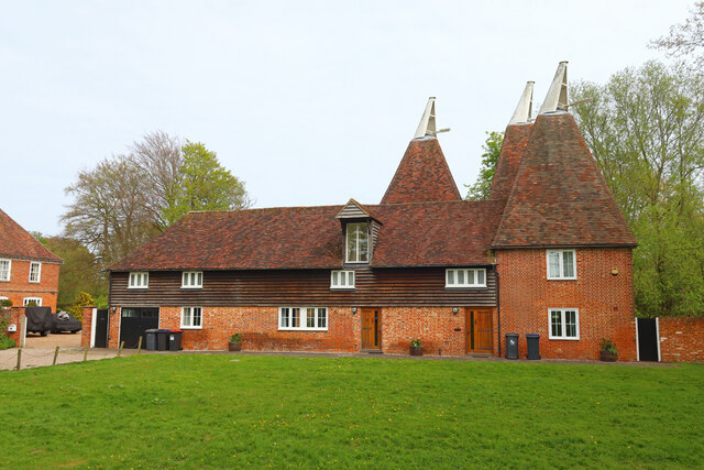
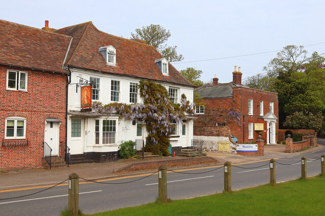
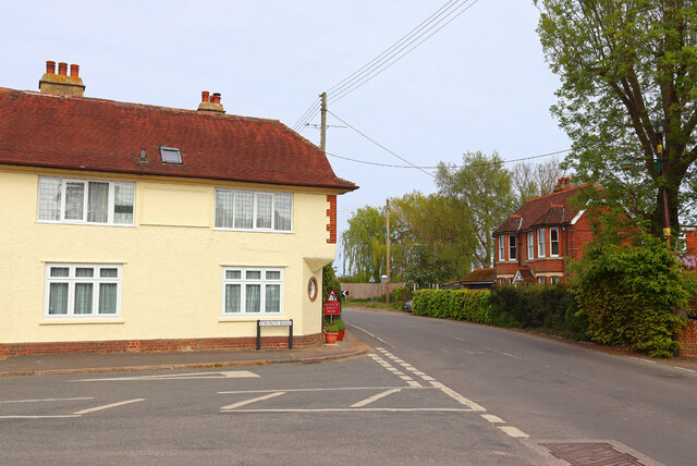
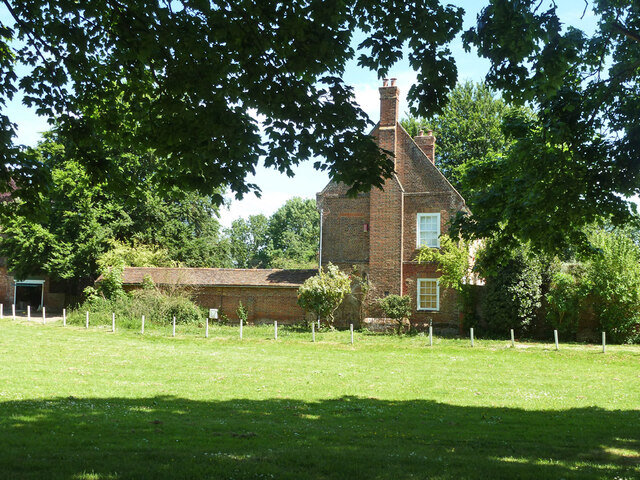
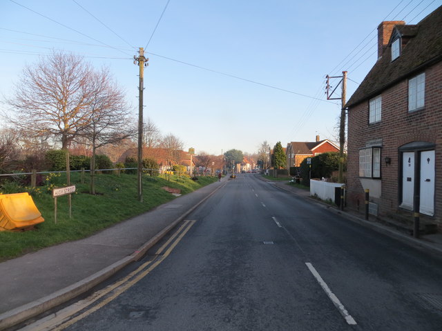
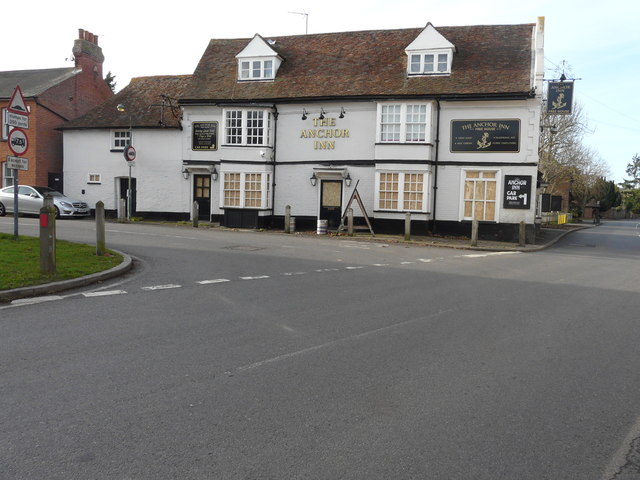
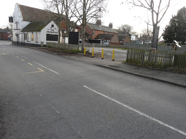
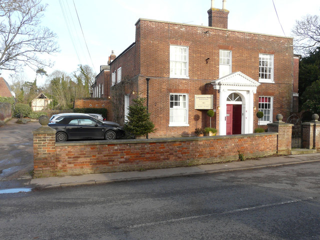
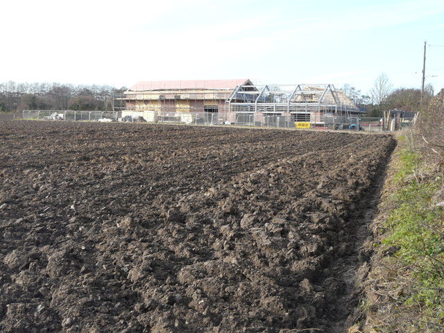
Court Wood Images

Images are sourced within 2km of 51.275358/1.1414909 or Grid Reference TR1957. Thanks to Geograph Open Source API. All images are credited.

Stained glass window, St. Vincent's Church, Littlebourne At the east end of the south aisle. The church of St Vincent of Saragossa dates from the 13th century and is thought to have been founded by the monks of St Augustine's Abbey in Canterbury. It is a Grade I listed building.
Stained glass window, St. Vincent's Church, Littlebourne
At the east end of the south aisle. The church of St Vincent of Saragossa dates from the 13th century and is thought to have been founded by the monks of St Augustine's Abbey in Canterbury. It is a Grade I listed building.
War memorial, St. Vincent's Church, Littlebourne The church of St Vincent of Saragossa dates from the 13th century and is thought to have been founded by the monks of St Augustine's Abbey in Canterbury. It is a Grade I listed building.
War memorial, St. Vincent's Church, Littlebourne
The church of St Vincent of Saragossa dates from the 13th century and is thought to have been founded by the monks of St Augustine's Abbey in Canterbury. It is a Grade I listed building.
Littlebourne House Green in Littlebourne.
Littlebourne House
Green in Littlebourne.
Footpath near Littlebourne Footpath and power lines with Littlebourne in the distance.
Footpath near Littlebourne
Footpath and power lines with Littlebourne in the distance.
The Oast Holiday accommodation in Littlebourne.
The Oast
Holiday accommodation in Littlebourne.
King William King William Day Centre, in Littlebourne.
King William
King William Day Centre, in Littlebourne.
Nargate Street / Church Road Road Junction in Littlebourne.
Nargate Street / Church Road
Road Junction in Littlebourne.
House by the Green, Littlebourne
Ordnance Survey Flush Bracket S6455 This can be found on the wall of a house - private dwelling - in School Path, Littlebourne.
For more detail see : <span class="nowrap"><a title="http://www.bench-marks.org.uk/bm19622" rel="nofollow ugc noopener" href="http://www.bench-marks.org.uk/bm19622">Link</a><img style="margin-left:2px;" alt="External link" title="External link - shift click to open in new window" src="https://s1.geograph.org.uk/img/external.png" width="10" height="10"/></span>
Ordnance Survey Flush Bracket S6455
This can be found on the wall of a house - private dwelling - in School Path, Littlebourne. For more detail see : LinkExternal link
High Street (A257) in Littlebourne Looking south-eastward.
High Street (A257) in Littlebourne
Looking south-eastward.
The Anchor Inn, 2, Bekesbourne Lane It is a grade II listed building that dates from the 16th century <span class="nowrap"><a title="http://www.britishlistedbuildings.co.uk/en-171301-the-anchor-inn-littlebourne-kent#.WHvNI_5vjcc" rel="nofollow ugc noopener" href="http://www.britishlistedbuildings.co.uk/en-171301-the-anchor-inn-littlebourne-kent#.WHvNI_5vjcc">Link</a><img style="margin-left:2px;" alt="External link" title="External link - shift click to open in new window" src="https://s1.geograph.org.uk/img/external.png" width="10" height="10"/></span> The boarded up windows and door on the ground floor seems to indicate that the public house has gone out of business.
The Anchor Inn, 2, Bekesbourne Lane
It is a grade II listed building that dates from the 16th century LinkExternal link The boarded up windows and door on the ground floor seems to indicate that the public house has gone out of business.
The Anchor Inn, 2, Bekesbourne Lane It is a grade II listed building that dates from the 16th century <span class="nowrap"><a title="http://www.britishlistedbuildings.co.uk/en-171301-the-anchor-inn-littlebourne-kent#.WHvNI_5vjcc" rel="nofollow ugc noopener" href="http://www.britishlistedbuildings.co.uk/en-171301-the-anchor-inn-littlebourne-kent#.WHvNI_5vjcc">Link</a><img style="margin-left:2px;" alt="External link" title="External link - shift click to open in new window" src="https://s1.geograph.org.uk/img/external.png" width="10" height="10"/></span> The bollards across the carpark’s entrance, from the High Street, seem to indicate that the public house has gone out of business.
The Anchor Inn, 2, Bekesbourne Lane
It is a grade II listed building that dates from the 16th century LinkExternal link The bollards across the carpark’s entrance, from the High Street, seem to indicate that the public house has gone out of business.
Littlebourne House, 2, High Street It is a grade II listed building that dates from the 18th century <span class="nowrap"><a title="http://www.britishlistedbuildings.co.uk/en-171289-littlebourne-house-littlebourne-kent#.WHvQ1_5vjcc" rel="nofollow ugc noopener" href="http://www.britishlistedbuildings.co.uk/en-171289-littlebourne-house-littlebourne-kent#.WHvQ1_5vjcc">Link</a><img style="margin-left:2px;" alt="External link" title="External link - shift click to open in new window" src="https://s1.geograph.org.uk/img/external.png" width="10" height="10"/></span> which has been converted into a residential care home. I was rather intrigued as to what the derelict building, to the left of the house, was but this was the nearest I could get to it.
Littlebourne House, 2, High Street
It is a grade II listed building that dates from the 18th century LinkExternal link which has been converted into a residential care home. I was rather intrigued as to what the derelict building, to the left of the house, was but this was the nearest I could get to it.
Construction of Preston Barns, Bekesbourne Lane Canterbury-based Quinn Estates, a property development and investment group,
<span class="nowrap"><a title="http://quinn-estates.com/" rel="nofollow ugc noopener" href="http://quinn-estates.com/">Link</a><img style="margin-left:2px;" alt="External link" title="External link - shift click to open in new window" src="https://s1.geograph.org.uk/img/external.png" width="10" height="10"/></span> is constructing three contemporary new build barns on this site. Planning permission has been granted by Canterbury City Council under application number CA//15/00001 for the “demolition of existing barn and construction of three detached buildings comprising: (1) five-bedroom house; (2) office, together with the creation of a new access onto Bekesbourne Lane; and (3) double garage, annexe for applicant's father and carer's one-bed flat”. The site was previously occupied by Manor Farm Barn. This view shows the <a href="https://www.geograph.org.uk/photo/5404562">TR2057 : Ongoing construction of Preston Barns, Bekesbourne Lane</a> at the beginning of May 2017.
Construction of Preston Barns, Bekesbourne Lane
Canterbury-based Quinn Estates, a property development and investment group, LinkExternal link is constructing three contemporary new build barns on this site. Planning permission has been granted by Canterbury City Council under application number CA//15/00001 for the “demolition of existing barn and construction of three detached buildings comprising: (1) five-bedroom house; (2) office, together with the creation of a new access onto Bekesbourne Lane; and (3) double garage, annexe for applicant's father and carer's one-bed flat”. The site was previously occupied by Manor Farm Barn. This view shows the TR2057 : Ongoing construction of Preston Barns, Bekesbourne Lane at the beginning of May 2017.
An enormous pile of willow branches Neighbouring trees showed where certain branches had been sawn off. The willow, beyond the pile, stands near to the bridge over Silver Dike. The track also serves as a footpath and bridleway.
An enormous pile of willow branches
Neighbouring trees showed where certain branches had been sawn off. The willow, beyond the pile, stands near to the bridge over Silver Dike. The track also serves as a footpath and bridleway.
Ongoing construction of Preston Barns, Bekesbourne Lane Canterbury-based Quinn Estates, a property development and investment group,
<span class="nowrap"><a title="http://quinn-estates.com/" rel="nofollow ugc noopener" href="http://quinn-estates.com/">Link</a><img style="margin-left:2px;" alt="External link" title="External link - shift click to open in new window" src="https://s1.geograph.org.uk/img/external.png" width="10" height="10"/></span> is constructing three contemporary new build barns on this site. Planning permission was granted by Canterbury City Council under application number CA//15/00001 for the “demolition of existing barn and construction of three detached buildings comprising: (1) five-bedroom house; (2) office, together with the creation of a new access onto Bekesbourne Lane; and (3) double garage, annexe for applicant's father and carer's one-bed flat”. The site was previously occupied by Manor Farm Barn. This view shows the <a href="https://www.geograph.org.uk/photo/5255267">TR2057 : Construction of Preston Barns, Bekesbourne Lane</a> towards the end of December 2016.
Ongoing construction of Preston Barns, Bekesbourne Lane
Canterbury-based Quinn Estates, a property development and investment group, LinkExternal link is constructing three contemporary new build barns on this site. Planning permission was granted by Canterbury City Council under application number CA//15/00001 for the “demolition of existing barn and construction of three detached buildings comprising: (1) five-bedroom house; (2) office, together with the creation of a new access onto Bekesbourne Lane; and (3) double garage, annexe for applicant's father and carer's one-bed flat”. The site was previously occupied by Manor Farm Barn. This view shows the TR2057 : Construction of Preston Barns, Bekesbourne Lane towards the end of December 2016.
Houses on The Hill, Littlebourne
Rose Acre Road at the junction of The Hill
Show me another place!

Court Wood is located at Grid Ref: TR1957 (Lat: 51.275358, Lng: 1.1414909)

Administrative County: Kent

District: Canterbury

Police Authority: Kent

What 3 Words

///brambles.frames.skim. Near Littlebourne, Kent

Nearby Locations

Pine Wood Court Wood

Related Wikis

Howletts Wild Animal Park

Howletts Wild Animal Park (formerly known as Howletts Zoo) in the parish of Bekesbourne, near Canterbury in Kent, was established as a private zoo in 1957...

Bekesbourne railway station

Bekesbourne railway station is on the Dover branch of the Chatham Main Line in England, and serves the villages of Bekesbourne and Patrixbourne, Kent....

Bekesbourne-with-Patrixbourne

Bekesbourne-with-Patrixbourne is a civil parish in the City of Canterbury district of Kent, England. It is located 4 miles south-east of Canterbury.According...

Littlebourne

Littlebourne is a village and civil parish 4 miles (6.4 km) east of Canterbury in Kent, South East England. == History == The significant Howletts Anglo...

Nearby Amenities

Located within 500m of 51.275358,1.1414909
Power: pole
Lat/Long: 51.276008/1.1432407
Power: pole
Lat/Long: 51.2728266/1.1474115
Power: pole
Lat/Long: 51.2784644/1.1420579
Power: pole
Lat/Long: 51.2746221/1.1445818
Power: pole
Lat/Long: 51.2740096/1.1455528
Power: pole
Lat/Long: 51.277644/1.1424361
Power: pole
Lat/Long: 51.2793033/1.1416448
Power: pole
Lat/Long: 51.2752345/1.1436001
Power: pole
Lat/Long: 51.2734341/1.146462
Power: pole
Lat/Long: 51.2782832/1.1423663
Power: pole
Lat/Long: 51.2738267/1.1461295
Power: pole
Lat/Long: 51.2745617/1.1449922
Power: pole
Lat/Long: 51.2731253/1.1472399
Power: pole
Lat/Long: 51.2753243/1.1437945
Power: pole
Lat/Long: 51.2792899/1.1418808
Power: pole
Lat/Long: 51.2776658/1.1426453
Power: pole
Lat/Long: 51.2762539/1.1433426
The data included in this document is from www.openstreetmap.org. The data is made available under ODbL.

Have you been to Court Wood?

Leave your review of Court Wood below (or comments, questions and feedback).