Pine Wood
Wood, Forest in Kent Canterbury
England
Pine Wood

Pine Wood is a picturesque forest located in the county of Kent, England. Situated on the outskirts of the charming village of Wood, this woodland area covers an expansive area of approximately 500 acres. It is renowned for its dense growth of towering pine trees, which dominate the landscape and give the forest its name.
The woodland is a haven for nature enthusiasts and outdoor adventurers, offering a wide range of recreational activities. A network of well-marked trails weaves through the forest, providing opportunities for hiking, jogging, and cycling. The serene atmosphere and lush surroundings make it an ideal spot for nature walks and birdwatching, with several species of birds, including woodpeckers and owls, being spotted in the area.
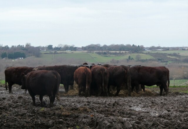
Pine Wood is also home to a diverse array of wildlife, such as deer, foxes, and rabbits, which can occasionally be seen roaming the forest floor. The abundance of flora and fauna adds to the natural beauty of the area, creating a harmonious ecosystem that is carefully preserved and protected.
The forest is equipped with amenities to cater to visitors' needs, including picnic areas, benches, and parking facilities. It is a popular destination for families, as children can enjoy the well-maintained play areas and engage in educational activities organized by local nature conservation groups.
Pine Wood, Kent, is not only a mesmerizing natural attraction but also an important part of the local ecosystem, providing a sanctuary for wildlife and a tranquil retreat for visitors seeking solace in nature.
If you have any feedback on the listing, please let us know in the comments section below.
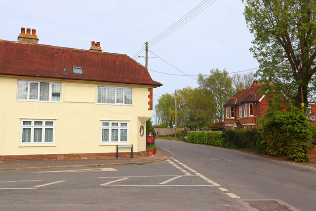
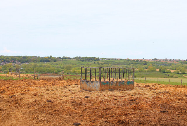
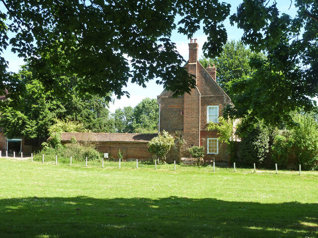
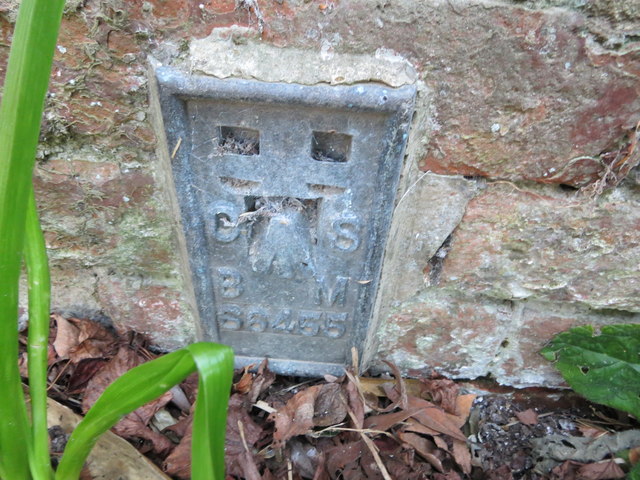
Pine Wood Images
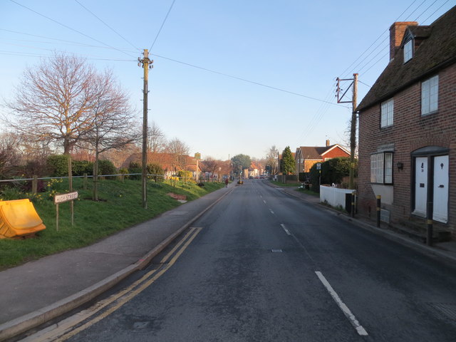
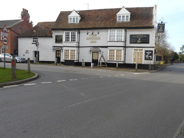
Images are sourced within 2km of 51.27849/1.1494491 or Grid Reference TR1957. Thanks to Geograph Open Source API. All images are credited.


Pine Wood is located at Grid Ref: TR1957 (Lat: 51.27849, Lng: 1.1494491)
Administrative County: Kent
District: Canterbury
Police Authority: Kent
What 3 Words
///card.hike.built. Near Littlebourne, Kent
Nearby Locations
Related Wikis

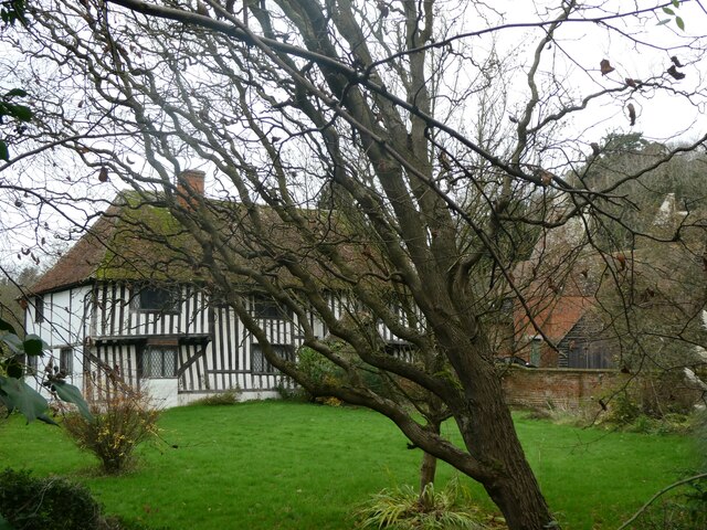
Littlebourne
Littlebourne is a village and civil parish 4 miles (6.4 km) east of Canterbury in Kent, South East England. == History == The significant Howletts Anglo...
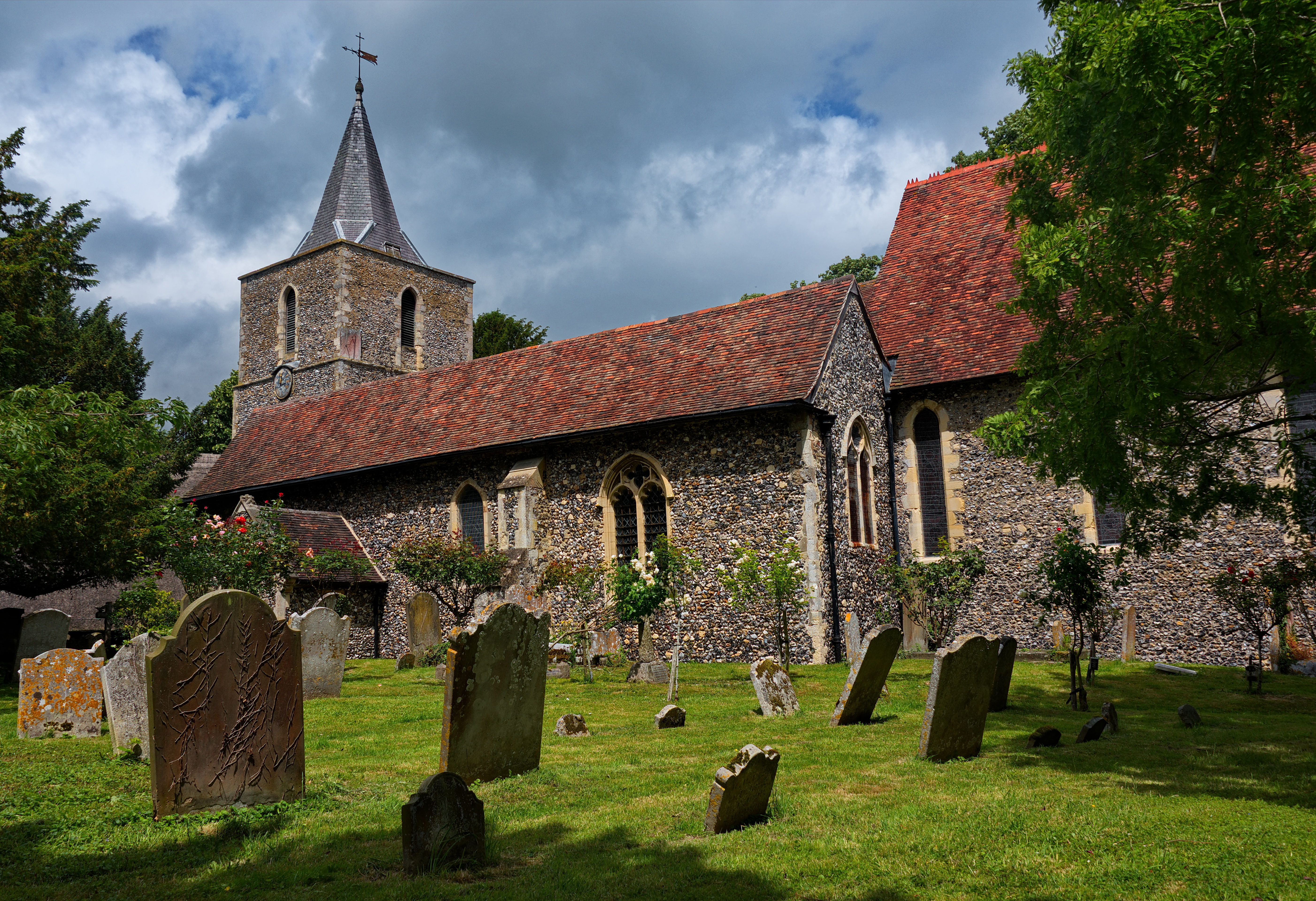
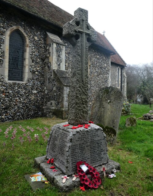
St Vincent of Saragossa Church, Littlebourne
St Vincent of Saragossa's Church is the Church of England parish church of Littlebourne, Kent, England. The parish is part of the Benefice of Littlebourne...
Howletts Wild Animal Park
Howletts Wild Animal Park (formerly known as Howletts Zoo) in the parish of Bekesbourne, near Canterbury in Kent, was established as a private zoo in 1957...

Bekesbourne railway station
Bekesbourne railway station is on the Dover branch of the Chatham Main Line in England, and serves the villages of Bekesbourne and Patrixbourne, Kent....

Bekesbourne-with-Patrixbourne
Bekesbourne-with-Patrixbourne is a civil parish in the City of Canterbury district of Kent, England. It is located 4 miles south-east of Canterbury.According...

Bekesbourne
Bekesbourne is a village and former civil parish, now in the parish of Bekesbourne-with-Patrixbourne, in the Canterbury district, in Kent, South-East England...

Fordwich
Fordwich is a market town and a civil parish in east Kent, England, on the River Stour, northeast of Canterbury. It is the smallest community by population...

Wickhambreaux
Wickhambreaux ( WIK-əm-brew) is a village and civil parish in the Canterbury district, in the county of Kent, England. The village is just off the A257...
Nearby Amenities
Located within 500m of 51.27849,1.1494491Have you been to Pine Wood?
Leave your review of Pine Wood below (or comments, questions and feedback).