Claypits Covert
Wood, Forest in Suffolk Babergh
England
Claypits Covert
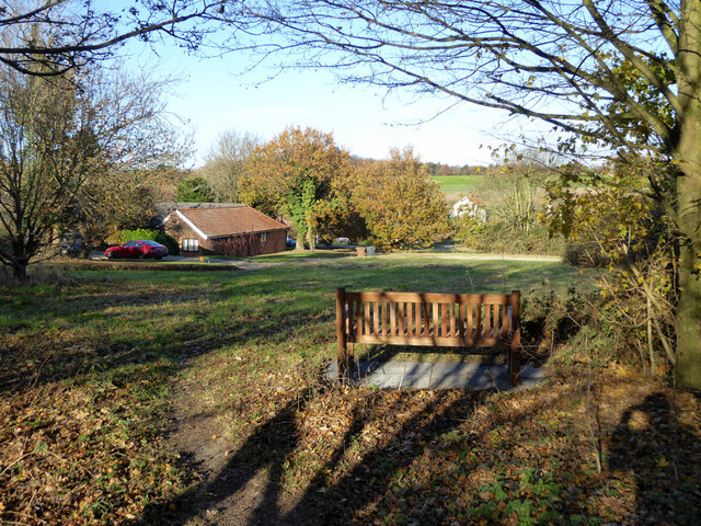
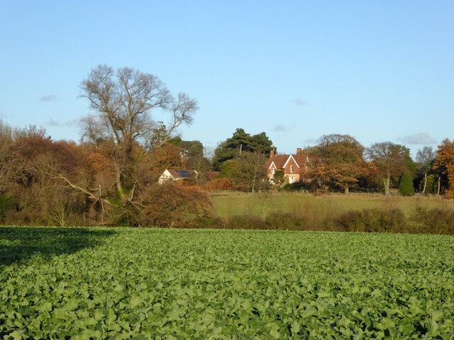
Claypits Covert is a serene and picturesque woodland located in Suffolk, England. Spread across an area of approximately 50 acres, it is a captivating destination for nature enthusiasts and those seeking tranquility amidst the beauty of nature.
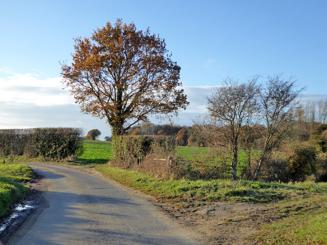
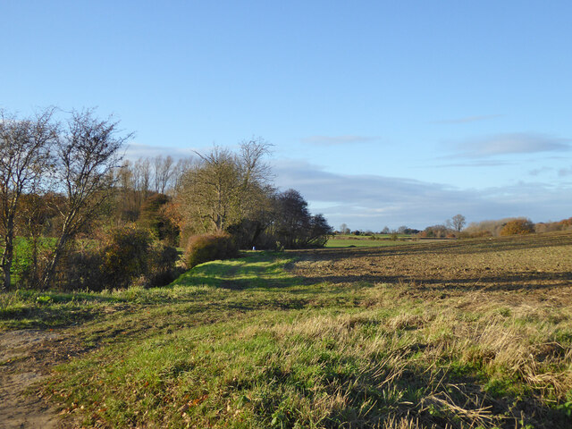
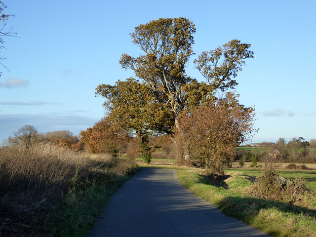
The woodland is primarily composed of a mix of deciduous and evergreen trees, creating a diverse ecosystem that supports a wide variety of flora and fauna. The towering oak, beech, and birch trees dominate the landscape, providing a captivating canopy that filters the sunlight and creates a serene ambiance.
Claypits Covert is home to several species of birds, including woodpeckers, owls, and various songbirds. These feathered creatures add to the enchanting atmosphere with their melodious tunes and vibrant plumage. The woodland also serves as a habitat for small mammals like squirrels, rabbits, and hedgehogs, which can often be spotted scurrying about.
For visitors, Claypits Covert offers an array of walking trails that wind through the woodland, allowing them to explore its hidden treasures at their own pace. The paths are well-maintained, making it accessible for people of all ages and abilities. Along the way, visitors may come across babbling brooks, charming wildflowers, and occasional glimpses of deer gracefully grazing in the distance.
Claypits Covert is a true haven for nature lovers, providing a peaceful retreat where one can immerse themselves in the beauty of the Suffolk countryside. Whether it's a leisurely stroll, birdwatching, or simply finding solace in the embrace of nature, this enchanting woodland offers a rejuvenating experience for all who venture within its bounds.
If you have any feedback on the listing, please let us know in the comments section below.
Claypits Covert Images
Images are sourced within 2km of 51.975797/1.1994611 or Grid Reference TM1935. Thanks to Geograph Open Source API. All images are credited.


Claypits Covert is located at Grid Ref: TM1935 (Lat: 51.975797, Lng: 1.1994611)
Administrative County: Suffolk
District: Babergh
Police Authority: Suffolk
What 3 Words
///dialects.zaps.degrading. Near Holbrook, Suffolk
Nearby Locations
Related Wikis

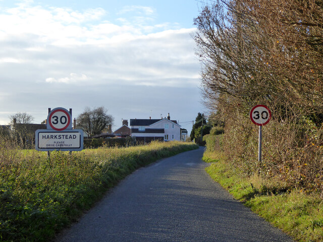
Harkstead
Harkstead is a village and civil parish in the county of Suffolk, England. The village is located on the northern bank of the River Stour estuary at Holbrook...

Chelmondiston
Chelmondiston is a small village and civil parish in Suffolk, England located on the Shotley Peninsula, five miles south-east of Ipswich. The hamlet of...

Erwarton
Erwarton or Arwarton is a small village and civil parish in the Babergh district of Suffolk, England. The parish includes the hamlet of Shop Corner. Located...

Pin Mill
Pin Mill is a hamlet on the south bank of the tidal River Orwell, on the outskirts of the village of Chelmondiston, on the Shotley peninsula in southern...
Nearby Amenities
Located within 500m of 51.975797,1.1994611Have you been to Claypits Covert?
Leave your review of Claypits Covert below (or comments, questions and feedback).