Limekiln Plantation
Wood, Forest in Kent Shepway
England
Limekiln Plantation
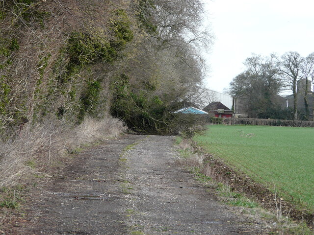
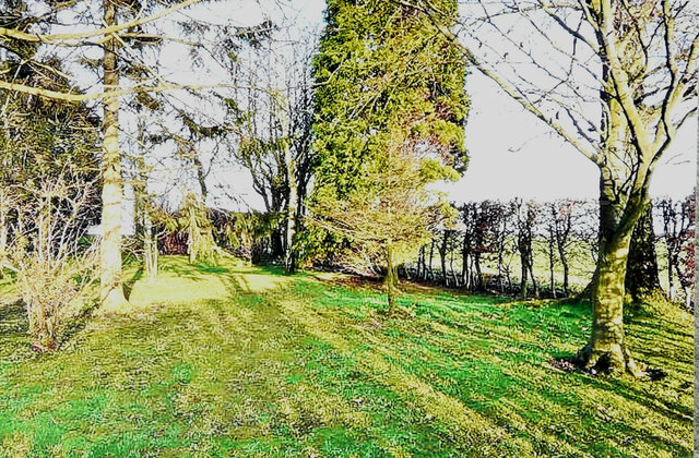
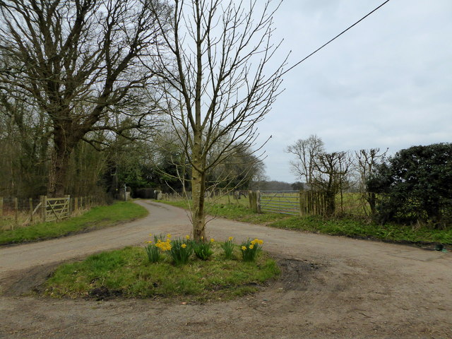
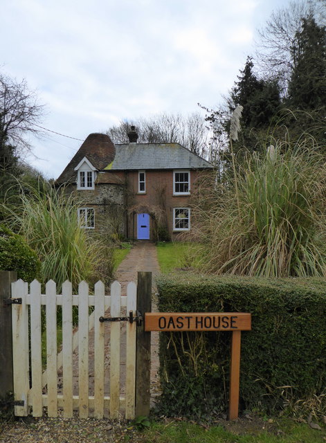
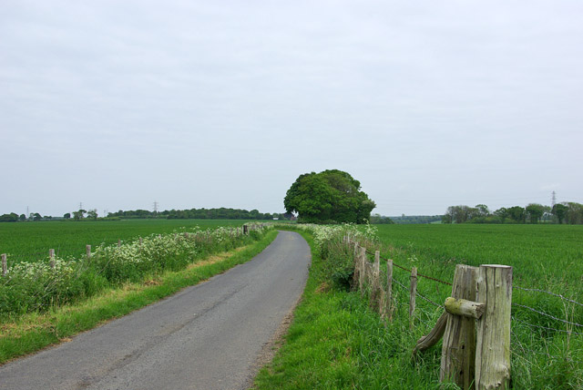
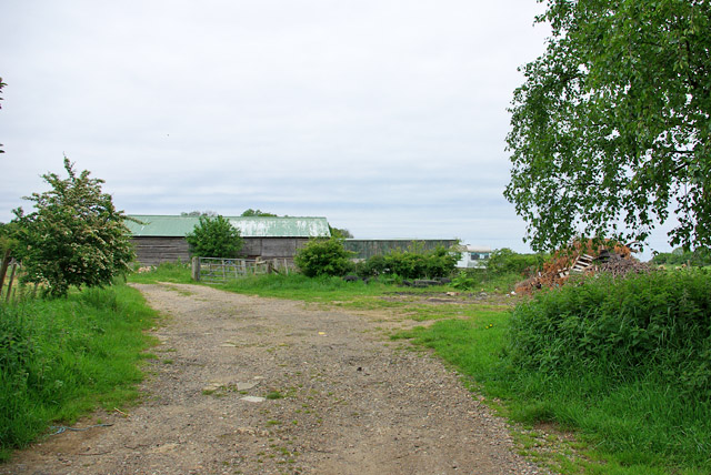
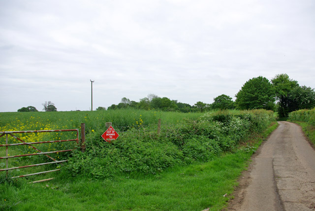
Limekiln Plantation is a picturesque woodland area located in the county of Kent, England. Situated near the village of Wood, it spans approximately 200 acres and is recognized as an important part of the region's natural heritage. The plantation is named after the historic limekilns that were once used in the area for the production of lime.
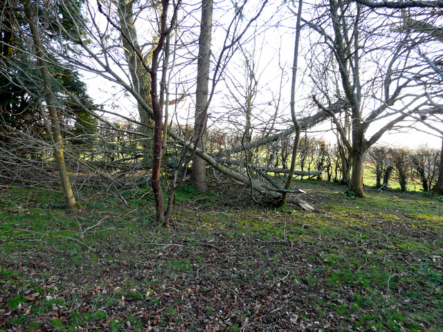
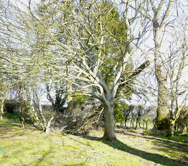
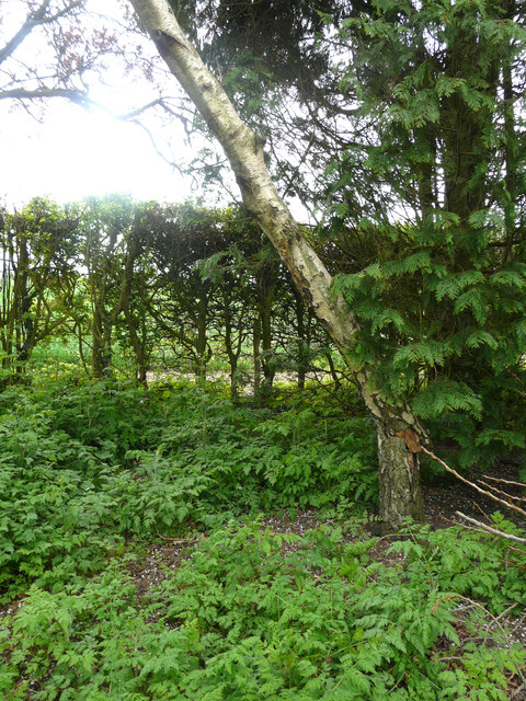
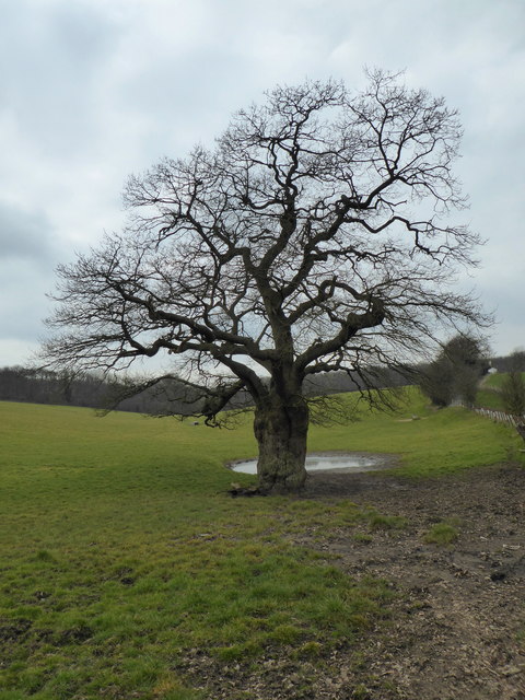
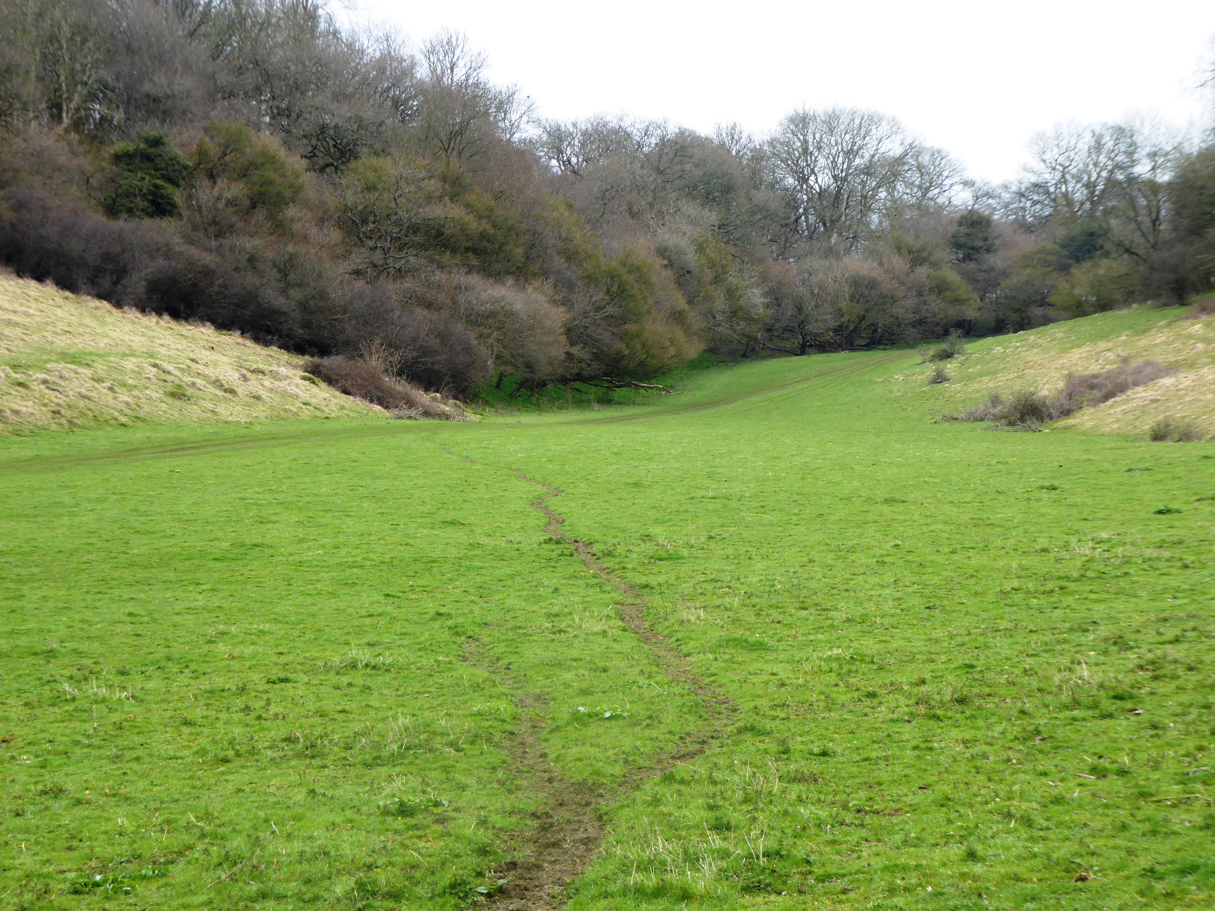
The woodland consists of a diverse range of tree species, including oak, beech, birch, and pine, creating a rich and vibrant ecosystem. The trees provide a haven for a variety of wildlife, making it a popular destination for nature enthusiasts and birdwatchers. Visitors can spot a wide range of bird species, such as woodpeckers, jays, and thrushes, as well as deer and other mammals.
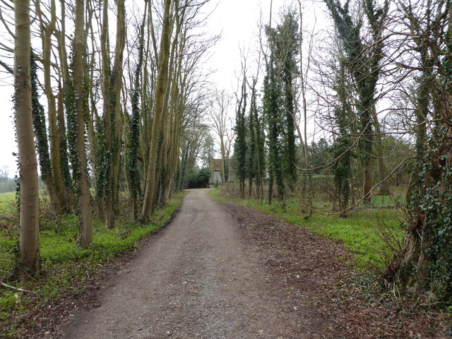
Limekiln Plantation offers several well-maintained walking trails, allowing visitors to explore the woodland at their own pace. These trails wind through the trees, offering glimpses of stunning views and providing an opportunity to immerse oneself in the tranquility of nature. The plantation is also home to several picnic areas, making it a perfect spot for families and friends to enjoy a day out.
The management of Limekiln Plantation is carried out by the local forestry commission, ensuring the preservation and protection of the woodland for future generations. Regular maintenance activities, such as tree planting and thinning, are undertaken to sustain the health and vitality of the plantation.
Overall, Limekiln Plantation is a cherished natural gem in Kent, offering a peaceful retreat for those seeking solace in nature's beauty.
If you have any feedback on the listing, please let us know in the comments section below.
Limekiln Plantation Images
Images are sourced within 2km of 51.135106/1.1410057 or Grid Reference TR1942. Thanks to Geograph Open Source API. All images are credited.


Limekiln Plantation is located at Grid Ref: TR1942 (Lat: 51.135106, Lng: 1.1410057)
Administrative County: Kent
District: Shepway
Police Authority: Kent
What 3 Words
///evaporate.push.exposing. Near Hawkinge, Kent
Nearby Locations
Related Wikis

Acrise
Acrise is an ecclesiastical and civil parish in the Folkestone and Hythe district, Kent, England, located between Elham and Densole and about six miles...

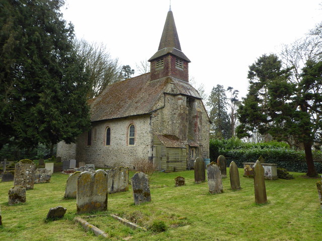
St Martin's Church, Acrise
St Martin's Church is an Anglican church in the village and parish of Acrise in Kent, England. The church dates back to the Norman era, and was designated...

Acrise Place
Acrise Place is a mainly 18th-century house located about 6 miles (9.6 km) north of Folkestone in the village of Acrise, Kent, England. It is a Grade II...

Paddlesworth
Paddlesworth is a hamlet and parish located about 3 miles (4.8 km) NNW of Folkestone in Kent, England, near Hawkinge. Paddlesworth was a sighting-point...

Cheriton Hill
Cheriton Hill is a hill overlooking the English Channel near Folkestone in the south-east corner of Kent, England. The relatively low-lying hill (reaching...
Great Shuttlesfield Down
Great Shuttlesfield Down is a 21.8-hectare (54-acre) biological Site of Special Scientific Interest north of Folkestone in Kent.This unimproved grassland...

Hawkinge
Hawkinge ( HAW-kinj) is a town and civil parish in the Folkestone and Hythe district of Kent, England. The original village of Hawkinge is actually just...
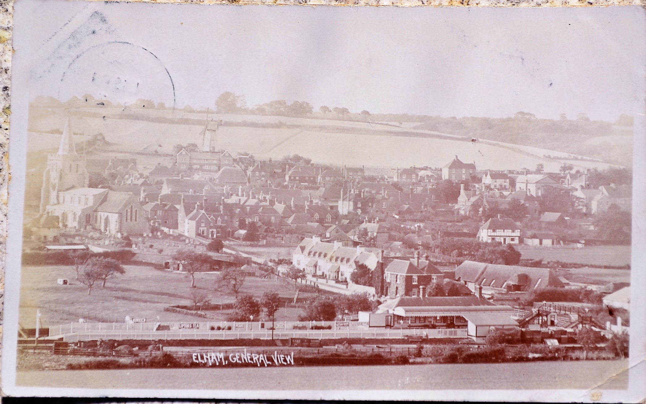
Elham railway station
Elham railway station is a disused railway station on the Elham Valley Railway which served the village of Elham in Kent and the surrounding villages....
Nearby Amenities
Located within 500m of 51.135106,1.1410057Have you been to Limekiln Plantation?
Leave your review of Limekiln Plantation below (or comments, questions and feedback).