Acrise

Civil Parish in Kent Folkestone and Hythe

England

Acrise

Shipping containers These were the <a href="https://www.geograph.org.uk/photo/6804393">TR2143 : Shipping containers</a>, which were in the lay-by towards the end of March 2021.
Shipping containers Credit: John Baker

Acrise is a civil parish located in the county of Kent, in southeastern England. Situated approximately 6 miles southwest of the town of Folkestone, Acrise covers an area of around 4 square miles. The parish is primarily made up of agricultural land, with scattered residential properties throughout.

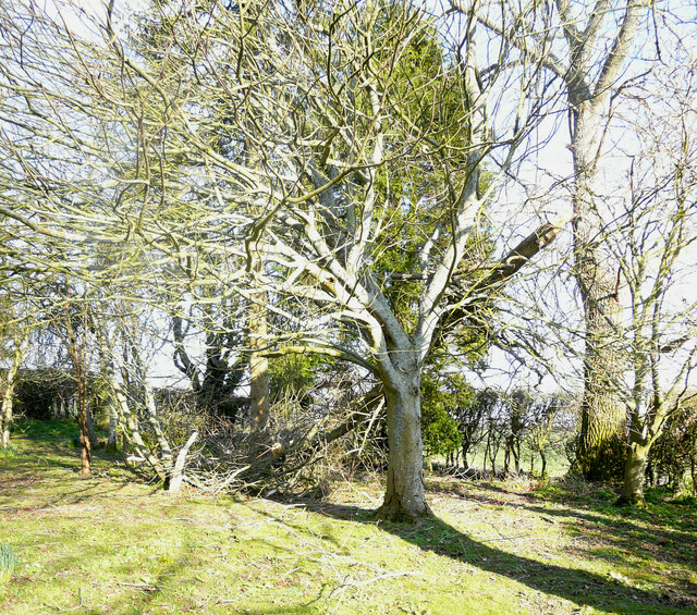
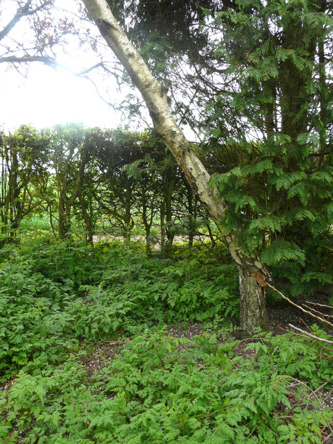
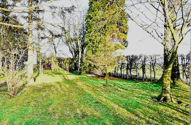
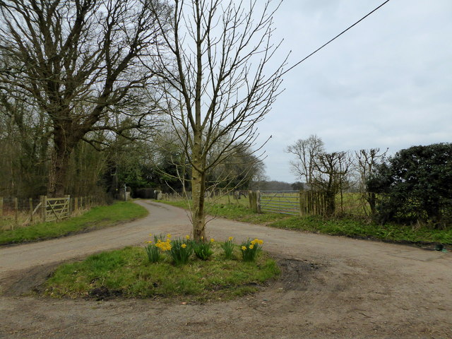
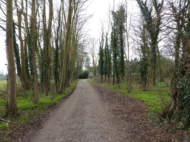
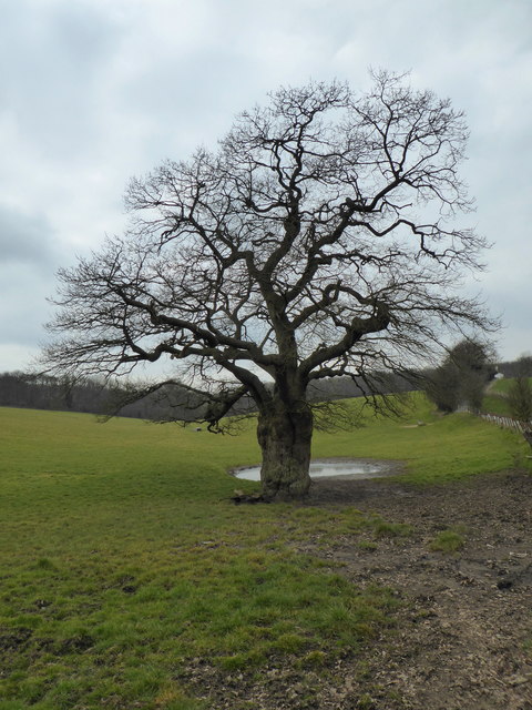
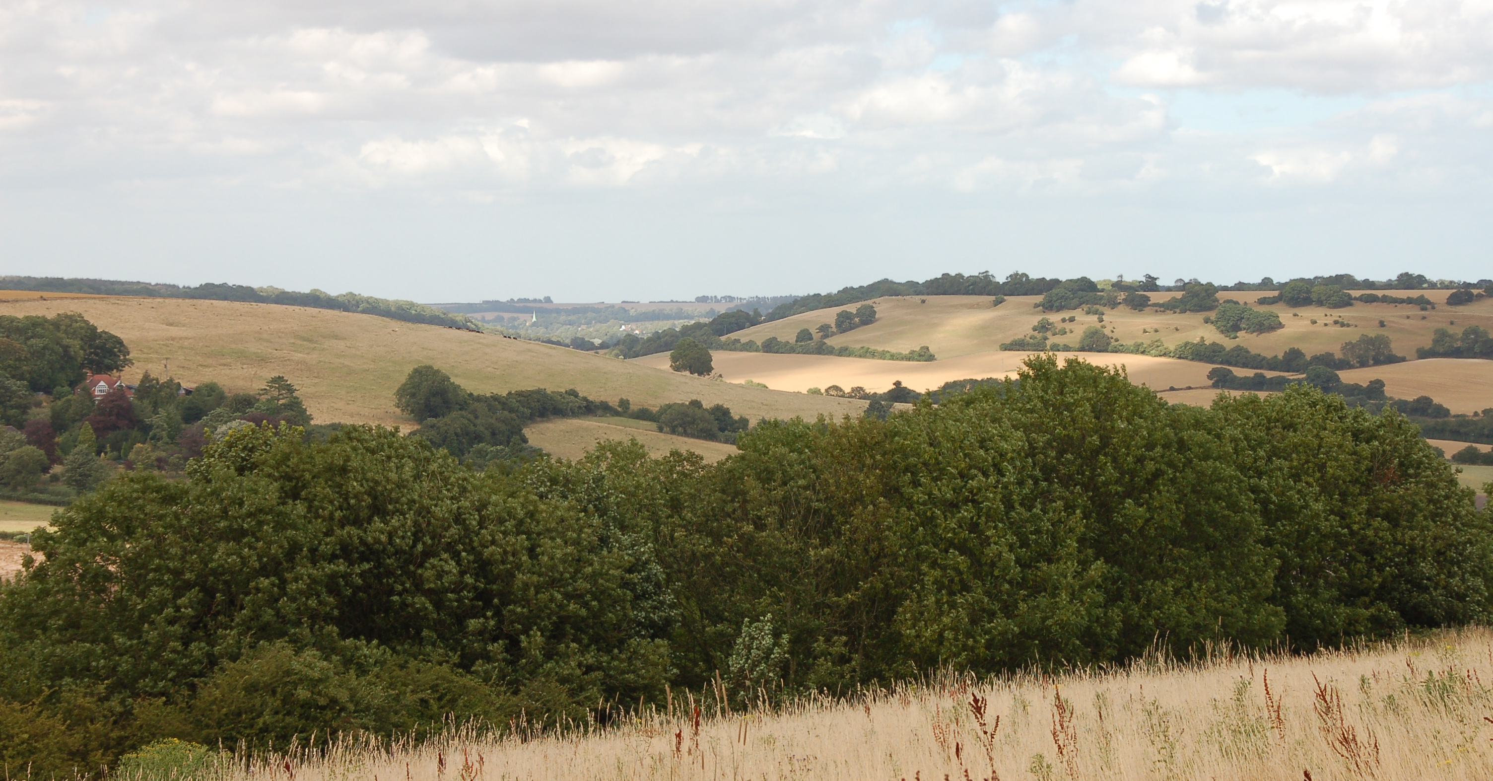
Acrise is surrounded by picturesque countryside, with rolling hills and charming rural landscapes. The parish is known for its natural beauty, providing a peaceful and tranquil environment for its residents. The nearby North Downs, an Area of Outstanding Natural Beauty, adds to the attractiveness of the surroundings.

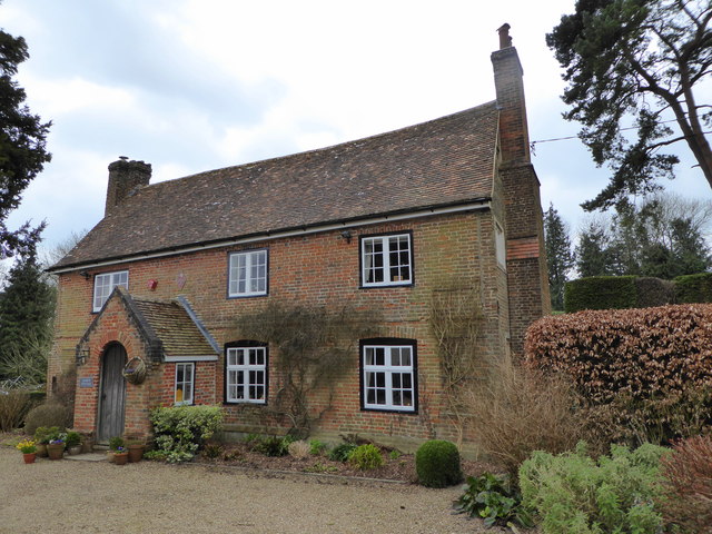
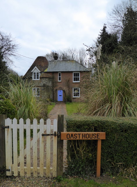
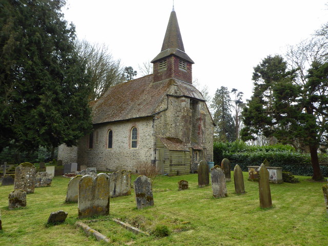
The village of Acrise itself is small and close-knit, with a population of around 200 residents. It has a rural charm, with a few historic buildings dotted around, including the notable St. Martin's Church, which dates back to the 12th century.

Despite its small size, Acrise has a strong sense of community, with regular events and activities organized by local residents. The parish also benefits from its proximity to larger towns and cities, such as Folkestone and Canterbury, which offer a range of amenities and services.

In summary, Acrise is a small and picturesque civil parish in Kent, known for its natural beauty and strong sense of community. With its rural charm and close-knit community, Acrise provides a peaceful and idyllic place to live.

If you have any feedback on the listing, please let us know in the comments section below.
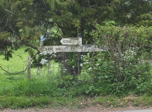
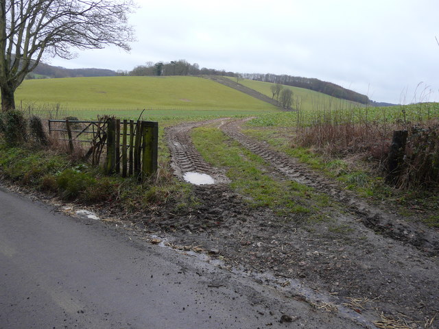
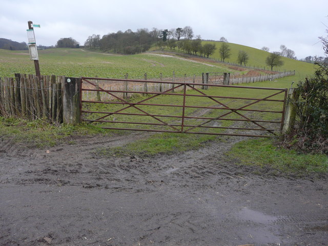
Acrise Images

Images are sourced within 2km of 51.139229/1.143219 or Grid Reference TR1942. Thanks to Geograph Open Source API. All images are credited.

Shipping containers These were the <a href="https://www.geograph.org.uk/photo/6804393">TR2143 : Shipping containers</a>, which were in the lay-by towards the end of March 2021.
Shipping containers
These were the TR2143 : Shipping containers, which were in the lay-by towards the end of March 2021.
Shipping containers These were the <a href="https://www.geograph.org.uk/photo/6950400">TR2143 : Shipping containers</a>, which were in the lay-by in August 2021.
Shipping containers
These were the TR2143 : Shipping containers, which were in the lay-by in August 2021.
Storms’ damage A combination of Storm Eunice (the previous day) and Storm Franklin (overnight) caused these trees, beside the track to Winterdown Farm and Cottage, to be blown over. Courtesy of Storm Eunice, the properties had both suffered power cuts that lasted five minutes short of 50 hours.
Storms’ damage
A combination of Storm Eunice (the previous day) and Storm Franklin (overnight) caused these trees, beside the track to Winterdown Farm and Cottage, to be blown over. Courtesy of Storm Eunice, the properties had both suffered power cuts that lasted five minutes short of 50 hours.
Noticeboard in a field of sheep and lambs The noticeboard was advertising the 5 Nations British Rallycross to be held on Saturday 16th April and Monday 18th April at Lydden Hill Race Circuit. There was a shipping container, in a lay-by, behind the noticeboard.
Noticeboard in a field of sheep and lambs
The noticeboard was advertising the 5 Nations British Rallycross to be held on Saturday 16th April and Monday 18th April at Lydden Hill Race Circuit. There was a shipping container, in a lay-by, behind the noticeboard.
Damage by Storm Eunice In the garden of <a href="https://www.geograph.org.uk/photo/1273012">TR2043 : Winterdown Cottage</a>. The damage was caused by the branch of a crack willow being torn off and coming to rest an angle. The incidence may have occurred on Friday 18 February when, at noon, there was an especially violent gust, which caused a lack of power (for 50 hours) to this and other properties in the vicinity.
Damage by Storm Eunice
In the garden of TR2043 : Winterdown Cottage. The damage was caused by the branch of a crack willow being torn off and coming to rest an angle. The incidence may have occurred on Friday 18 February when, at noon, there was an especially violent gust, which caused a lack of power (for 50 hours) to this and other properties in the vicinity.
Damage by Storm Eunice In the garden of <a href="https://www.geograph.org.uk/photo/1273012">TR2043 : Winterdown Cottage</a>. The damage was caused by the branch of a crack willow being torn off and coming to rest an angle. The incidence may have occurred on Friday 18 February when, at noon, there was an especially violent gust, which caused a lack of power (for 50 hours) to this and other properties in the vicinity. 

This view of the <a href="https://www.geograph.org.uk/photo/7152703">TR2043 : Damage by Storm Eunice</a> was taken from  the northwest.
Damage by Storm Eunice
In the garden of TR2043 : Winterdown Cottage. The damage was caused by the branch of a crack willow being torn off and coming to rest an angle. The incidence may have occurred on Friday 18 February when, at noon, there was an especially violent gust, which caused a lack of power (for 50 hours) to this and other properties in the vicinity. This view of the TR2043 : Damage by Storm Eunice was taken from the northwest.
Damage by Storm Eunice A silver birch (betula pendula)) in the garden of <a href="https://www.geograph.org.uk/photo/1273012">TR2043 : Winterdown Cottage</a> had the bottom of its trunk split by the force of the wind, which resulted in the tree adopting a pronounced lean. The incidence may have occurred on Friday 18 February when, at noon, there was an especially violent gust, which caused a lack of power (for 50 hours) to this and other properties in the vicinity.
Damage by Storm Eunice
A silver birch (betula pendula)) in the garden of TR2043 : Winterdown Cottage had the bottom of its trunk split by the force of the wind, which resulted in the tree adopting a pronounced lean. The incidence may have occurred on Friday 18 February when, at noon, there was an especially violent gust, which caused a lack of power (for 50 hours) to this and other properties in the vicinity.
A selection of trees In the garden of <a href="https://www.geograph.org.uk/photo/1273012">TR2043 : Winterdown Cottage</a> showing the silver birch (betula pendula), which 14 years later suffered severe <a href="https://www.geograph.org.uk/photo/7154502">TR2043 : Damage by Storm Eunice</a>.  .
A selection of trees
In the garden of TR2043 : Winterdown Cottage showing the silver birch (betula pendula), which 14 years later suffered severe TR2043 : Damage by Storm Eunice. .
Wasps’ nest In the garage of <a href="https://www.geograph.org.uk/photo/1273012">TR2043 : Winterdown Cottage</a>.
Wasps’ nest
In the garage of TR2043 : Winterdown Cottage.
Direction Sign – Signpost at Rakeshole Farm on Reece Lane Located on the north side of the junction at Rakeshole Farm on Reece Lane in Elham parish. 3 arms and missing annulus finial. See also <a title="https://www.geograph.org.uk/photo/2791033" href="https://www.geograph.org.uk/photo/2791033">Link</a>.

Milestone Society National ID: KE_TR2044
Direction Sign – Signpost at Rakeshole Farm on Reece Lane
Located on the north side of the junction at Rakeshole Farm on Reece Lane in Elham parish. 3 arms and missing annulus finial. See also Link. Milestone Society National ID: KE_TR2044
View through a gateway Towards Craft Shaw, which was coppiced last year.
View through a gateway
Towards Craft Shaw, which was coppiced last year.
Recently planted hedging One can see the Tuley tubes, in which each plant is encased, as they appear as an off-white line running from beside this gate, across the meadow and up the hillside.
Recently planted hedging
One can see the Tuley tubes, in which each plant is encased, as they appear as an off-white line running from beside this gate, across the meadow and up the hillside.
Court Cottage, Acrise A Grade II listed late 16th and early 17th century building with an 18th century front.
Court Cottage, Acrise
A Grade II listed late 16th and early 17th century building with an 18th century front.
Lanes at Acrise The track ahead leads to The Old Rectory, to the right the lane leads to Acrise and St. Martin's Church.
Lanes at Acrise
The track ahead leads to The Old Rectory, to the right the lane leads to Acrise and St. Martin's Church.
Oast House,  Acrise An unusual oast house conversion on Hoad Road.
Oast House, Acrise
An unusual oast house conversion on Hoad Road.
St. Martin's Church, Acrise A Grade I listed building dating from the 11th century.
St. Martin's Church, Acrise
A Grade I listed building dating from the 11th century.
Path leading to St. Martin's Church, Acrise
Winter tree, Acrise
Winter tree, Acrise
Show me another place!

Acrise is located at Grid Ref: TR1942 (Lat: 51.139229, Lng: 1.143219)

Administrative County: Kent

District: Folkestone and Hythe

Police Authority: Kent

What 3 Words

///seats.pelt.fries. Near Hawkinge, Kent

Related Wikis

Nearby Amenities

Located within 500m of 51.139229,1.143219
Post Box
Ref: CT18 22
Lat/Long: 51.1396468/1.1374002
The data included in this document is from www.openstreetmap.org. The data is made available under ODbL.

Have you been to Acrise?

Leave your review of Acrise below (or comments, questions and feedback).