Acton
Civil Parish in Suffolk Babergh
England
Acton
Acton is a civil parish located in the county of Suffolk, England. It is situated around 3 miles south of Sudbury, a market town in Suffolk. The parish covers an area of approximately 6 square miles and is home to a population of around 1,500 people.
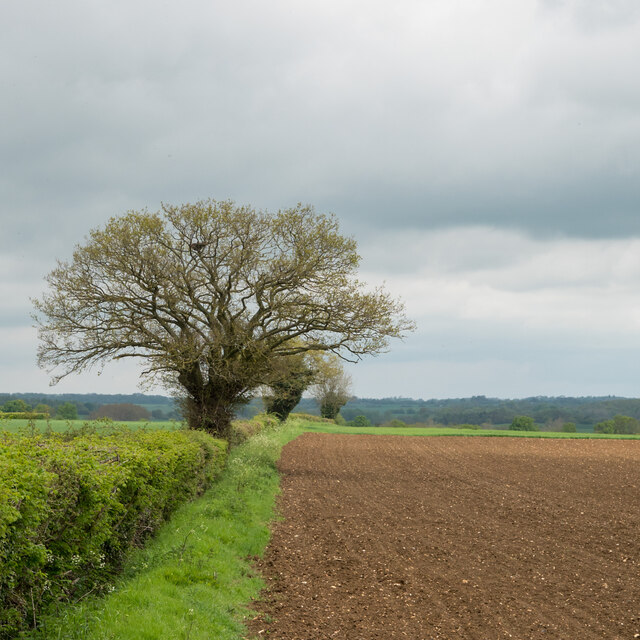
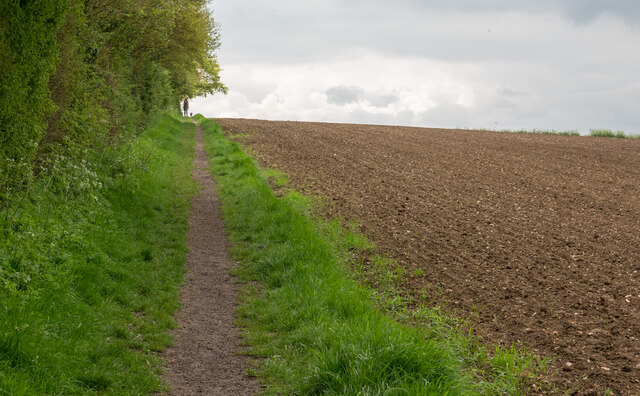
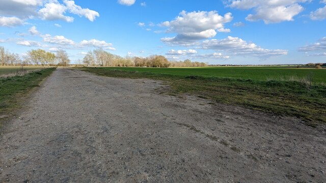
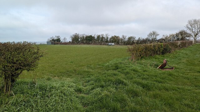
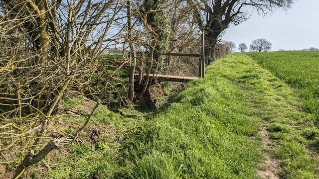
The village of Acton is characterized by its charming rural setting, with picturesque landscapes and a tranquil atmosphere. It is surrounded by rolling hills, lush farmlands, and beautiful countryside, making it an ideal location for those seeking a peaceful and idyllic lifestyle. The River Stour, one of the longest rivers in East Anglia, flows through the parish, adding to its natural beauty.
Acton boasts a rich history, with evidence of human activity in the area dating back to the Neolithic period. The village grew during the medieval era and was mentioned in the Domesday Book of 1086. The parish church, St. Mary's, is a prominent landmark, featuring a Norman tower and various architectural styles from different periods.
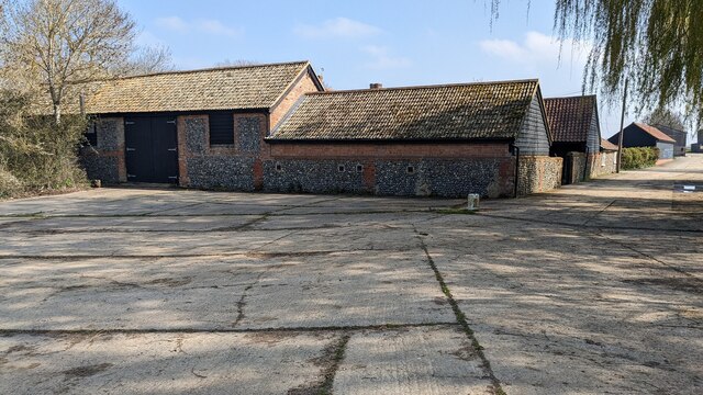
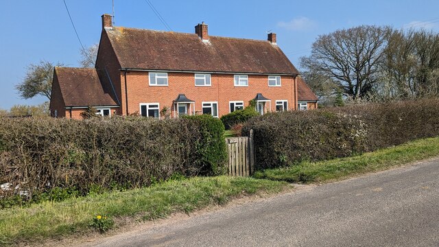
Although Acton is primarily a residential area, it offers some amenities for its residents. These include a primary school, a village hall, and a local pub. The village also has a strong sense of community, with various social and recreational activities organized throughout the year.
In summary, Acton is a charming and historic civil parish in Suffolk, offering a peaceful rural lifestyle amidst beautiful countryside. With its rich history, natural beauty, and close-knit community, Acton is a place that appeals to those seeking a tranquil and picturesque place to call home.
If you have any feedback on the listing, please let us know in the comments section below.
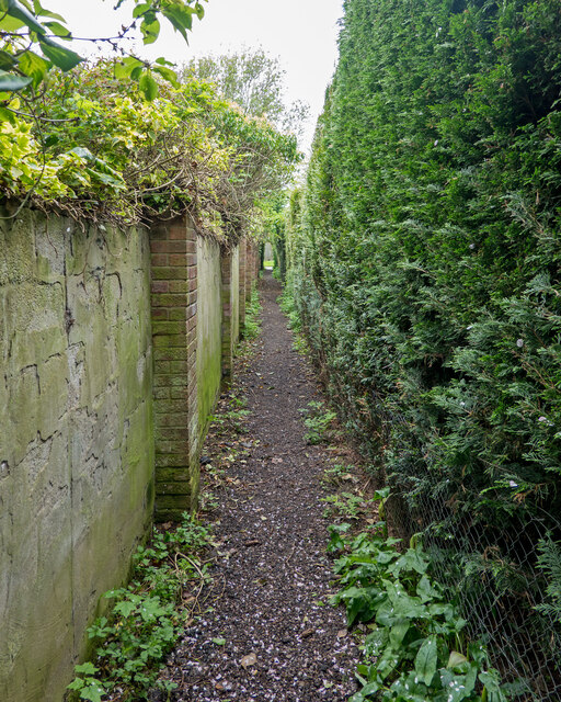
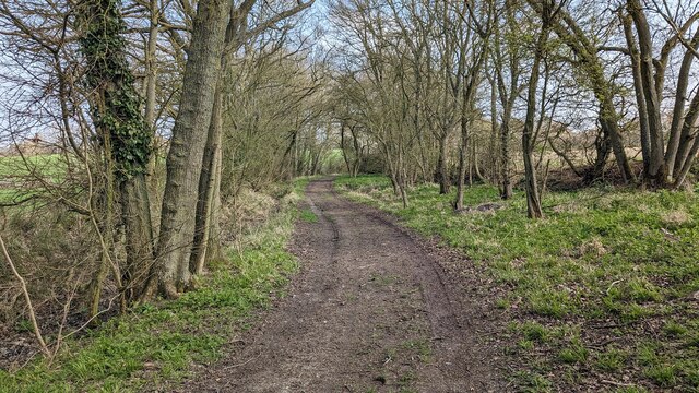
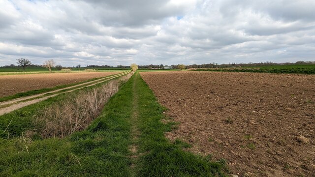
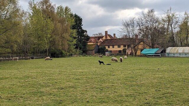
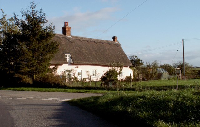
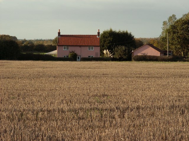
Acton Images
Images are sourced within 2km of 52.080063/0.760994 or Grid Reference TL8946. Thanks to Geograph Open Source API. All images are credited.


Acton is located at Grid Ref: TL8946 (Lat: 52.080063, Lng: 0.760994)
Administrative County: Suffolk
District: Babergh
Police Authority: Suffolk
What 3 Words
///consoles.appealed.announced. Near Great Waldingfield, Suffolk
Nearby Locations
Related Wikis

Acton, Suffolk
Acton is a village and civil parish in the English county of Suffolk. The parish also includes the hamlets of Cuckoo Tye and Newman's Green. == Etymology... ==

Lineage Wood & Railway Track, Long Melford
Lineage Wood & Railway Track, Long Melford is a 78.7-hectare (194-acre) biological Site of Special Scientific Interest north-east of Long Melford in Suffolk...

Melford Hall
Melford Hall is a stately home in the village of Long Melford, Suffolk, England. Since 1786 it has been the seat of the Parker Baronets and is still lived...

Great Waldingfield
Great Waldingfield is a village and civil parish in the Babergh district of Suffolk, England about two miles (3 km) north-east of Sudbury and two miles...

Holy Trinity Church, Long Melford
The Church of the Holy Trinity is a Grade I listed parish church of the Church of England in Long Melford, Suffolk, England. It is one of 310 medieval...

Long Melford
Long Melford, colloquially and historically also referred to as Melford, is a large village and civil parish in the Babergh district, in the county of...

Babergh Hundred
Babergh was a hundred of Suffolk, consisting of 71,882 acres (290.90 km2). Its name survives in that of Babergh District, the local government district...

Little Waldingfield
Little Waldingfield is a village and civil parish in Suffolk, England. Located two miles from its sister village, Great Waldingfield, it is part of the...
Have you been to Acton?
Leave your review of Acton below (or comments, questions and feedback).