Acton

Civil Parish in Cheshire

England

Acton

Nantwich Aqueduct Grade II* listed. Listing number 1330146. Dating from 1826.
Nantwich Aqueduct Credit: Andrew Abbott

Acton is a civil parish located in the county of Cheshire, England. It is situated approximately 2 miles south of the town of Nantwich and lies within the unitary authority of Cheshire East. The parish covers an area of around 1,240 acres and has a population of about 600 people.

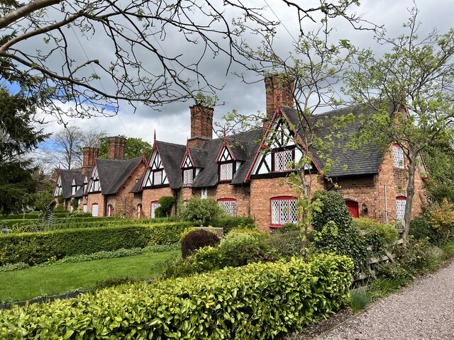
The village of Acton is known for its picturesque setting, with charming rural landscapes and a tranquil atmosphere. It is surrounded by open fields and farmland, providing a peaceful environment for its residents. The village itself is characterized by a mix of traditional and modern buildings, including a range of attractive cottages and larger houses.

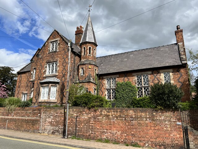
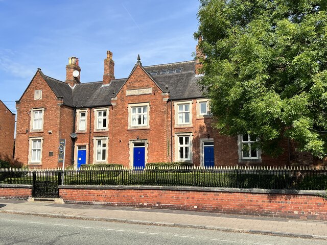
One of the notable landmarks in Acton is St. Mary's Church, a Grade I listed building that dates back to the 12th century. The church features an impressive tower and a beautiful interior, making it a popular destination for visitors and history enthusiasts.

The parish also boasts a number of amenities for its residents, including a primary school, a village hall, and a local pub. The village hall serves as a community hub and hosts various events and activities throughout the year, fostering a strong sense of community spirit.

Acton is well-connected to nearby towns and cities, with good transport links and easy access to major road networks. The village is conveniently located for those commuting to Nantwich, Crewe, and other nearby towns.

Overall, Acton offers a peaceful and charming place to live, with a strong sense of community and beautiful surroundings.

If you have any feedback on the listing, please let us know in the comments section below.

Acton Images

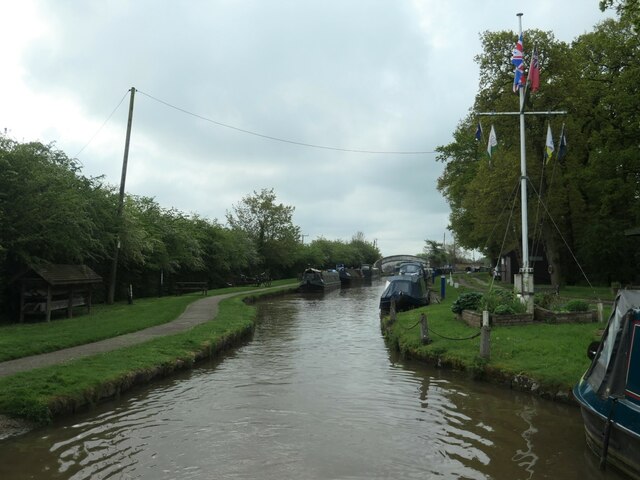
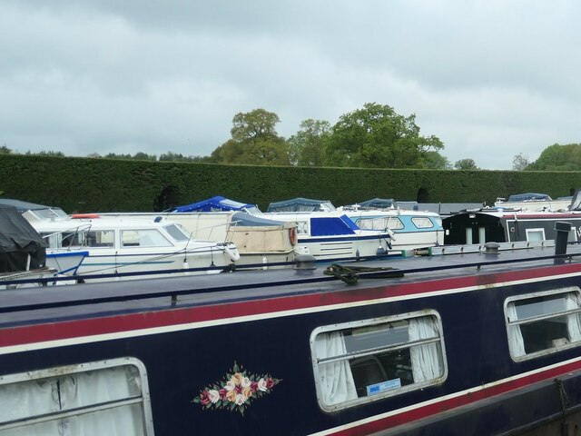
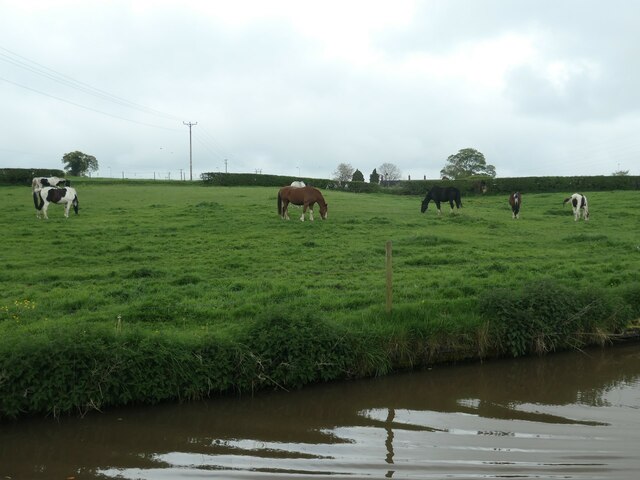
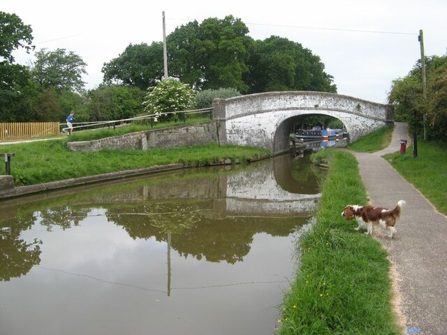
Images are sourced within 2km of 53.067479/-2.551813 or Grid Reference SJ6352. Thanks to Geograph Open Source API. All images are credited.

Nantwich Aqueduct Grade II* listed. Listing number 1330146. Dating from 1826.
Nantwich Aqueduct
Grade II* listed. Listing number 1330146. Dating from 1826.
Wilbraham's Almshouses Grade II listed. Listing number 1249725. Dated 1870.
Wilbraham's Almshouses
Grade II listed. Listing number 1249725. Dated 1870.
108 Welsh Row, Nantwich Grade II listed. Listing number 1263595 The former Grammar School and Headmaster's House. Mid 19th century.
108 Welsh Row, Nantwich
Grade II listed. Listing number 1263595 The former Grammar School and Headmaster's House. Mid 19th century.
Shropshire Union Canal Near Acton.
Shropshire Union Canal
Near Acton.
Shropshire Union Canal North of Acton.
Shropshire Union Canal
North of Acton.
Henhull Bridge Bridge 95 on the Shropshire Union Canal.
Henhull Bridge
Bridge 95 on the Shropshire Union Canal.
Shropshire Union Canal Just north of Edleston Bridge.
Shropshire Union Canal
Just north of Edleston Bridge.
Edleston bridge Carrying the Crewe to Shrewsbury railway line over the Shropshire Union Canal.
Edleston bridge
Carrying the Crewe to Shrewsbury railway line over the Shropshire Union Canal.
The Old Constabulary At 94-96 Welsh Row, Nantwich. Probably by Harry Beswick, architect.
The Old Constabulary
At 94-96 Welsh Row, Nantwich. Probably by Harry Beswick, architect.
Nantwich Aqueduct Grade II* listed. Listing number 1330146. Aqueduct carrying the main line of the Shropshire Union Canal over the Chester to Nantwich Road. Circa 1826 (consultant Thomas Telford).
Nantwich Aqueduct
Grade II* listed. Listing number 1330146. Aqueduct carrying the main line of the Shropshire Union Canal over the Chester to Nantwich Road. Circa 1826 (consultant Thomas Telford).
Shropshire Union Canal The embankment in Nantwich.
Shropshire Union Canal
The embankment in Nantwich.
Junction bridge Grade II listed. Listing number 1136456. Tow path roving bridge to Basin End, circa 1826 (consultant T.Telford). Engineering bricks in English Bond with added thin protective coating. Elliptical skew arch, on one metre high abutments. Flush stone dressed arch quoins and projecting carriageway bands. Stone edgings to canal. Cast iron rubbing posts to angles of arch. Blue brick paving with raised courses to tow path beneath bridge. Humped bridge with splayed approach walls, rounded stone parapet copings and 4-way rounded pier caps.
Junction bridge
Grade II listed. Listing number 1136456. Tow path roving bridge to Basin End, circa 1826 (consultant T.Telford). Engineering bricks in English Bond with added thin protective coating. Elliptical skew arch, on one metre high abutments. Flush stone dressed arch quoins and projecting carriageway bands. Stone edgings to canal. Cast iron rubbing posts to angles of arch. Blue brick paving with raised courses to tow path beneath bridge. Humped bridge with splayed approach walls, rounded stone parapet copings and 4-way rounded pier caps.
Crown Hotel The splendid half-timbered hotel, built in the late C16, dazzling in spring morning sunshine.
Crown Hotel
The splendid half-timbered hotel, built in the late C16, dazzling in spring morning sunshine.
Narrows north of Nantwich Basin There has always been a narrows here, though probably not  flagpole. Narrows often denote a missing bridge, but there is no bridge marked here on the large-scale OS map surveyed in 1874. Perhaps there was one earlier. When this canal was opened from Chester in 1779 it terminated at Nantwich Basin. A new canal was built southwards from the distant bridge, opening in 1835.
Narrows north of Nantwich Basin
There has always been a narrows here, though probably not flagpole. Narrows often denote a missing bridge, but there is no bridge marked here on the large-scale OS map surveyed in 1874. Perhaps there was one earlier. When this canal was opened from Chester in 1779 it terminated at Nantwich Basin. A new canal was built southwards from the distant bridge, opening in 1835.
Nantwich & Border Counties Yacht Club The club's offline moorings for smaller boats, on the Shropshire Union canal just north of Nantwich. The narrowboat in the foreground is moored along the canal.
Nantwich & Border Counties Yacht Club
The club's offline moorings for smaller boats, on the Shropshire Union canal just north of Nantwich. The narrowboat in the foreground is moored along the canal.
Canalside paddock, north of Acton On the west bank of the Shropshire Union canal.
Canalside paddock, north of Acton
On the west bank of the Shropshire Union canal.
Nantwich Junction bridge 92 The junction of the Birmingham & Liverpool Junction Canal with the earlier Chester Canal. Sadly, the ornate milepost is on the far side of the bridge!
Nantwich Junction bridge 92
The junction of the Birmingham & Liverpool Junction Canal with the earlier Chester Canal. Sadly, the ornate milepost is on the far side of the bridge!
Water point conversation Even historic craft need drinking water, but their hose was not long enough to reach the tap. Sadly, the soundtrack that should be playing at this point, of the Lister HA2 engine on tick-over, is not accessible!
Water point conversation
Even historic craft need drinking water, but their hose was not long enough to reach the tap. Sadly, the soundtrack that should be playing at this point, of the Lister HA2 engine on tick-over, is not accessible!
Show me another place!

Acton is located at Grid Ref: SJ6352 (Lat: 53.067479, Lng: -2.551813)

Unitary Authority: Cheshire East

Police Authority: Cheshire

What 3 Words

///hears.spells.swarm. Near Nantwich, Cheshire

Nearby Locations

Acton Dorfold Hall

Related Wikis

Dorfold Hall

Dorfold Hall (SJ635524) is a Grade I listed Jacobean mansion in Acton, Cheshire, England, considered by Nikolaus Pevsner to be one of the two finest Jacobean...

Acton, Cheshire

Acton is a small village and former civil parish, now in the parish of Burland and Acton, lying immediately west of the town of Nantwich, in the unitary...

International Cheese Awards

The International Cheese Awards is an annual cheese show and competition. Until 2019, it was held at Dorfold Park near Nantwich, England. Held since 1897...

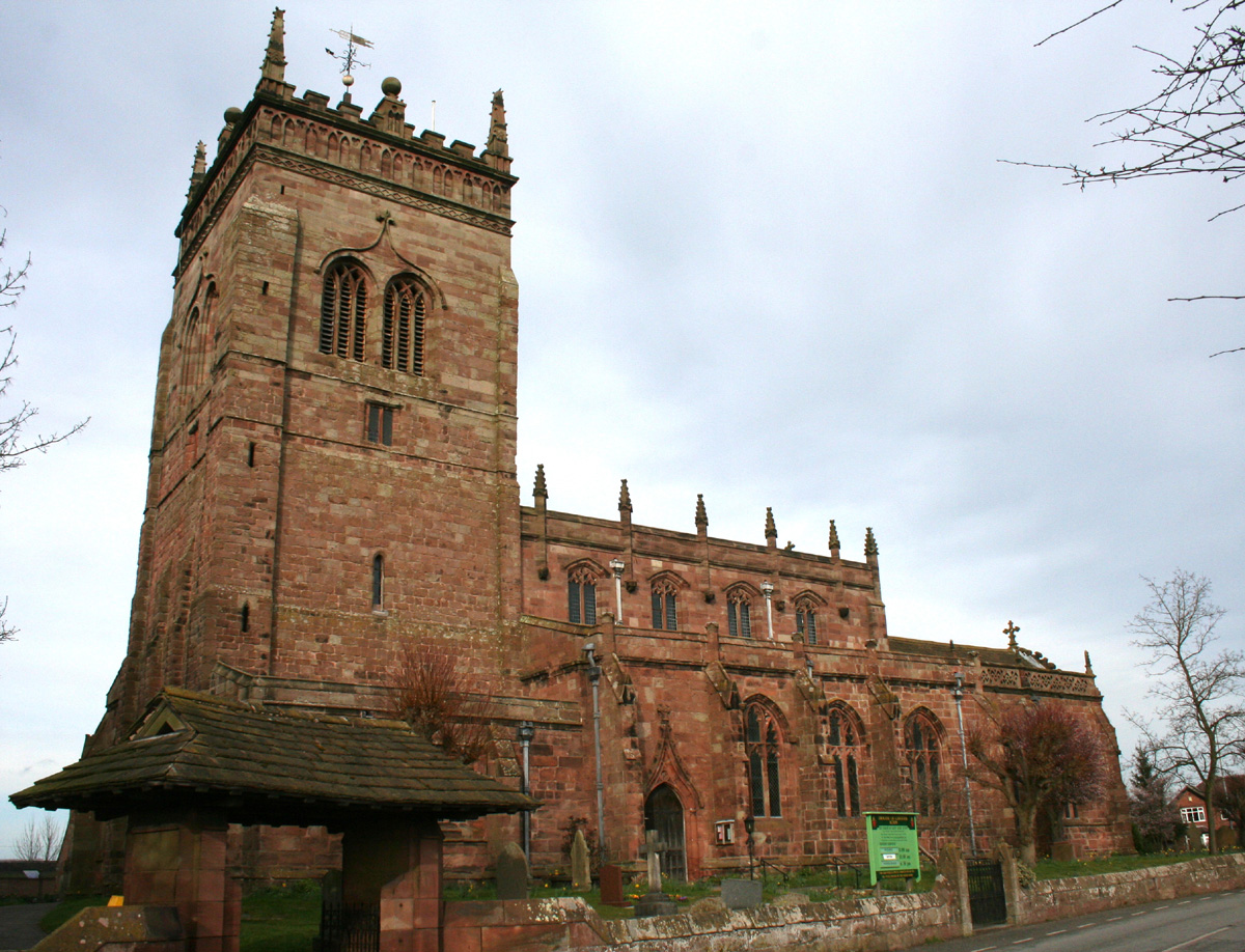
St Mary's Church, Acton

St Mary's Church is an active Anglican parish church located in Monk's Lane, Acton, a village to the west of Nantwich, Cheshire, England. Since 1967 it...

Acton, Cheshire (ancient parish)

Acton was an ancient parish in the Nantwich Hundred of Cheshire, England.At one time it included the townships of Acton, Aston juxta Mondrum, Austerson...

Henhull

Henhull is a former civil parish, now in the parishes of Burland and Acton and Nantwich, in the unitary authority area of Cheshire East and the ceremonial...

Ravensmoor Windmill

Ravensmoor Windmill is a former windmill located to the south of Wrexham Road (A534) between the villages of Acton and Burland, Cheshire, England. It...
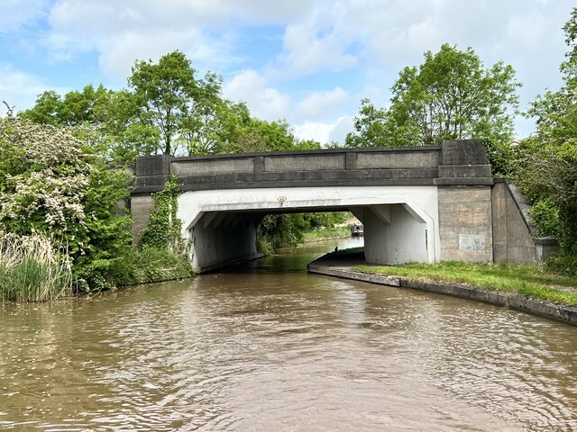
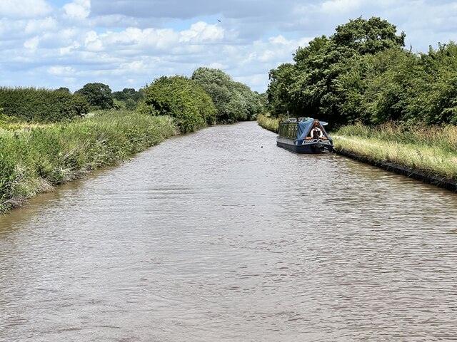
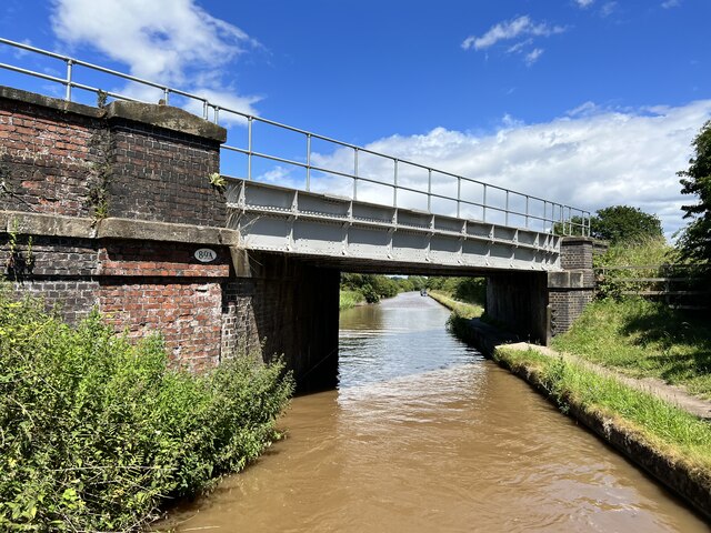
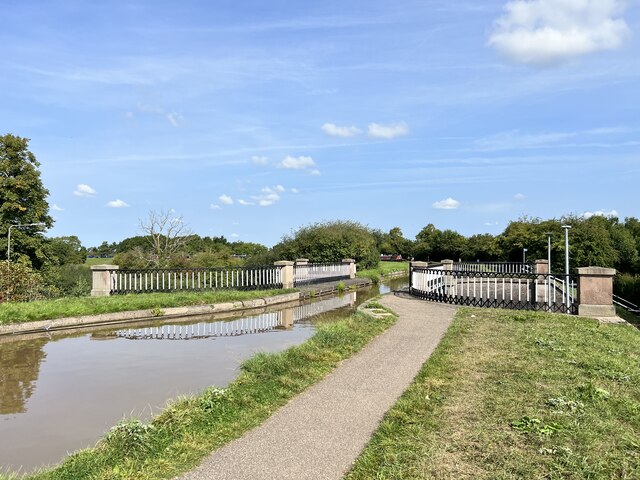
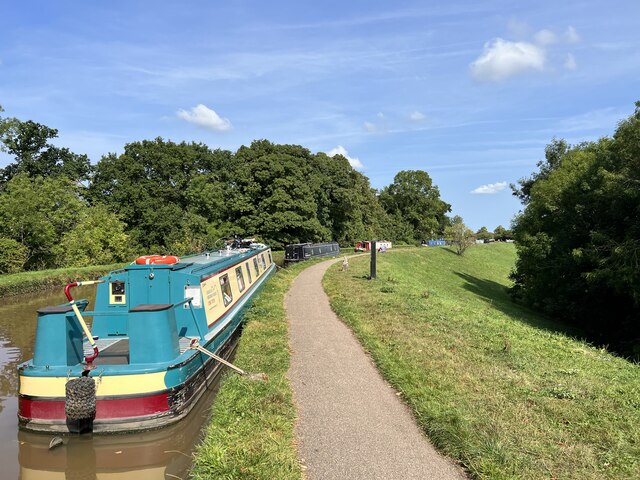
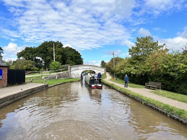
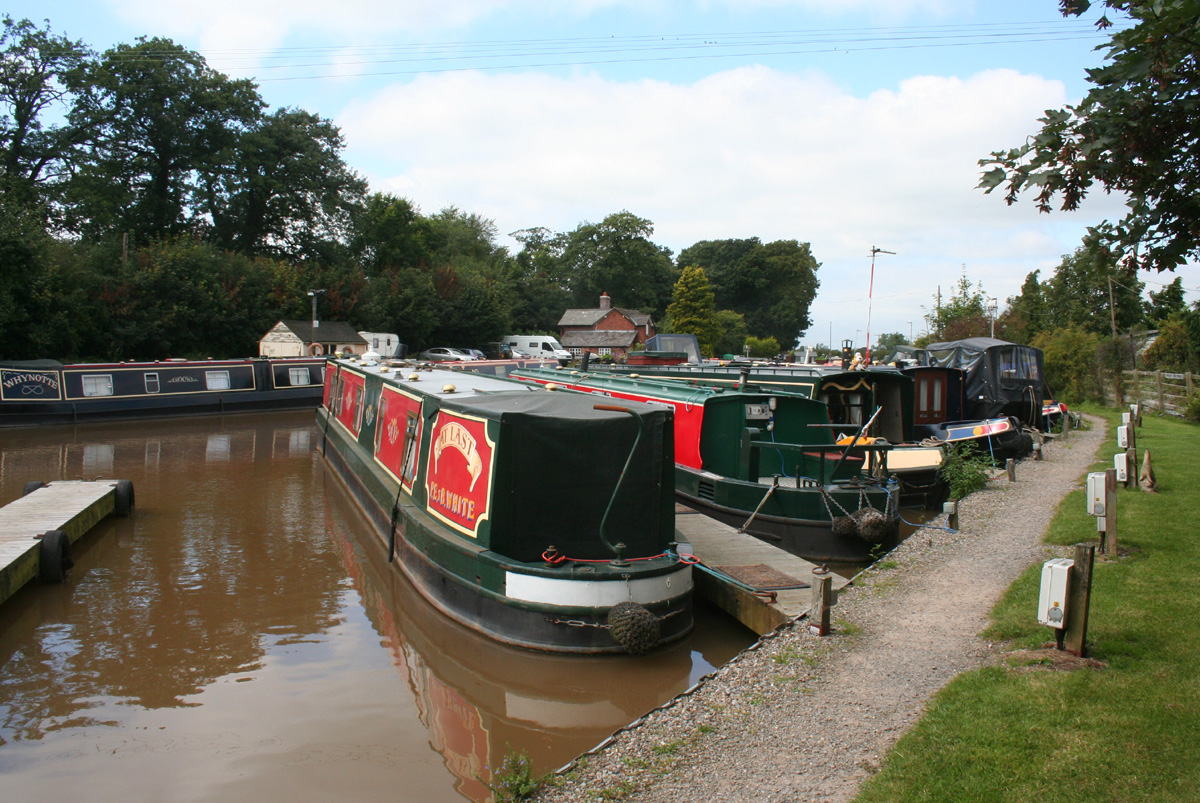
Nantwich Aqueduct

Nantwich Aqueduct is a navigable aqueduct in Acton in Cheshire, England, which carries the Shropshire Union Canal over the Chester to Nantwich road. Designed...

Nearby Amenities

Located within 500m of 53.067479,-2.551813
Barrier: stile
Foot: yes
Lat/Long: 53.0707041/-2.5532893
Barrier: stile
Foot: yes
Lat/Long: 53.0712326/-2.5497959
Barrier: stile
Foot: yes
Lat/Long: 53.0712192/-2.5491603
The data included in this document is from www.openstreetmap.org. The data is made available under ODbL.

Have you been to Acton?

Leave your review of Acton below (or comments, questions and feedback).