Harknett's Gate

Settlement in Essex Epping Forest

England

Harknett's Gate

Nazeing, All Saints
Nazeing, All Saints Credit: Dave Kelly

Harknett's Gate is a small village located in the county of Essex, England. Situated in the southeastern part of the country, it is nestled amidst picturesque countryside and offers a tranquil and idyllic setting for its residents and visitors alike.

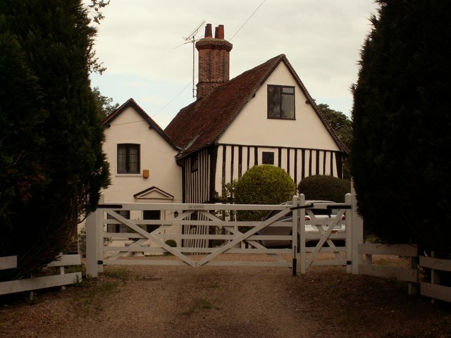
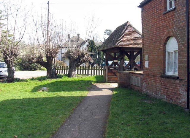
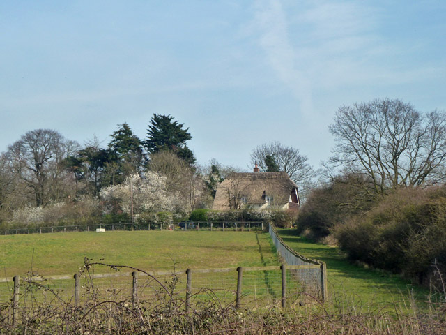
With a population of around 500 people, Harknett's Gate is known for its tight-knit community and friendly atmosphere. The village is characterized by its charming thatched-roof cottages, well-maintained gardens, and traditional architecture, which adds to its timeless appeal.

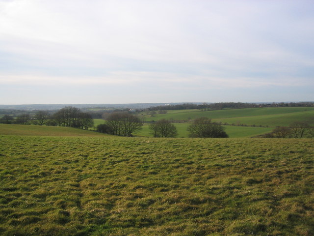
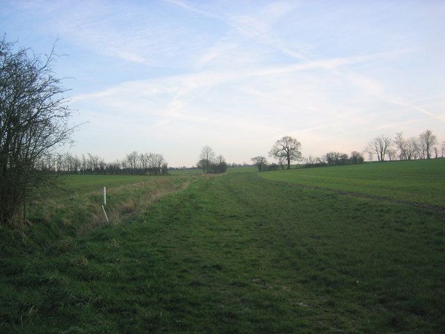
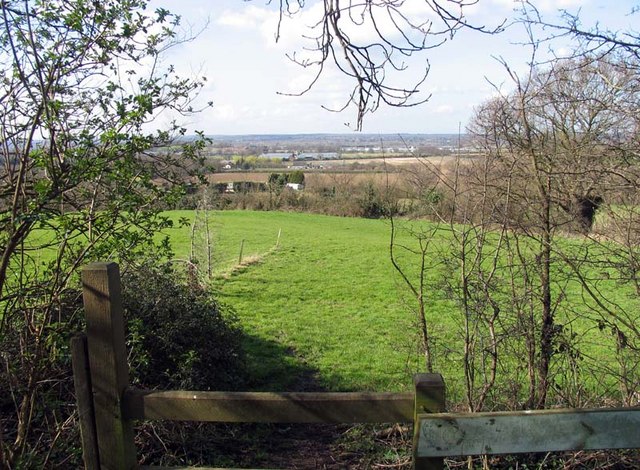
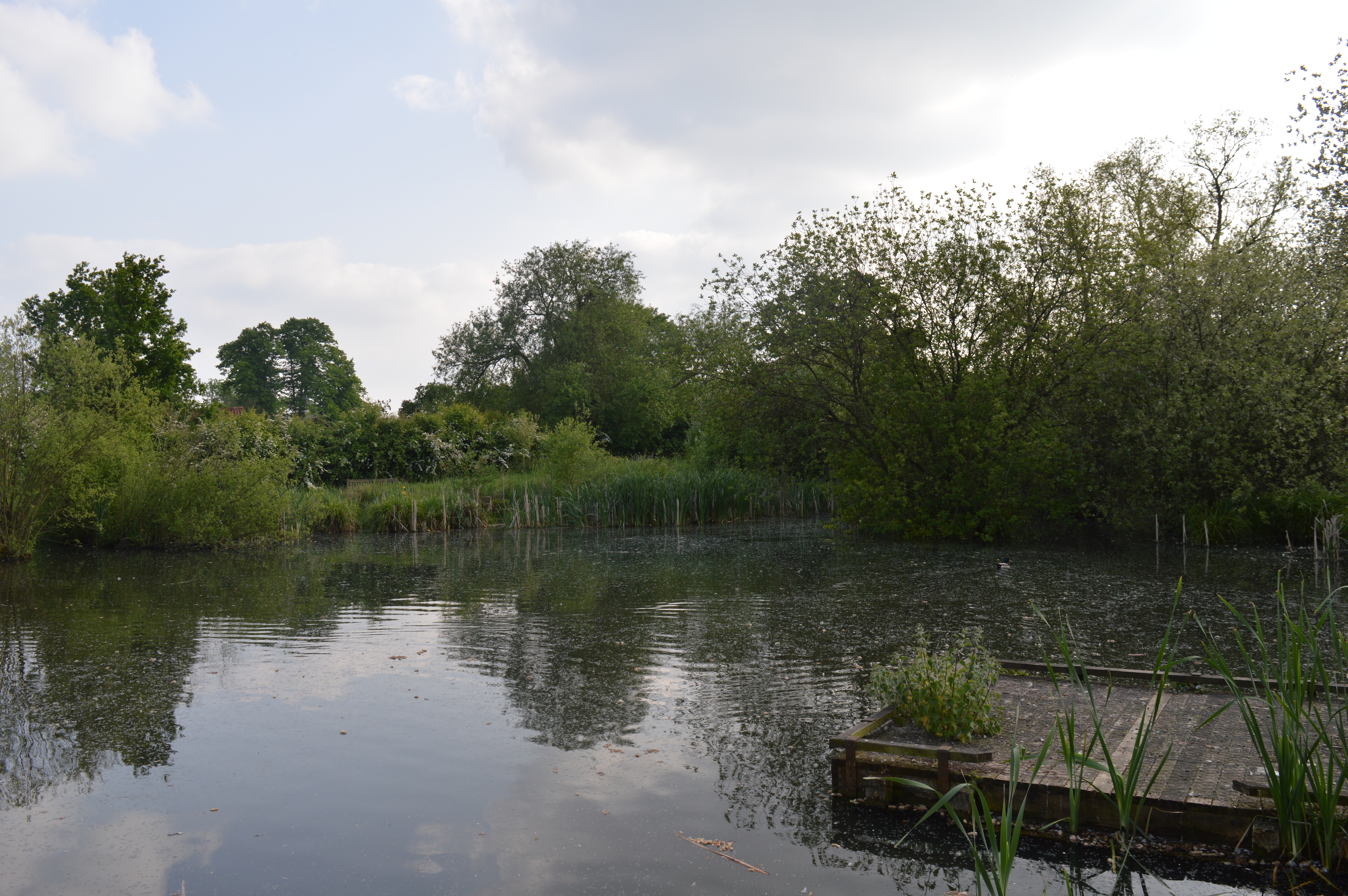
The village is surrounded by rolling green fields dotted with grazing livestock, providing a quintessentially English countryside experience. A small river, the Harknett, meanders through the village, adding to its scenic beauty and offering opportunities for leisurely walks and picnics along its banks.

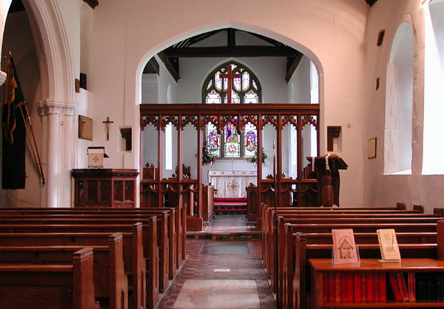
Despite its small size, Harknett's Gate boasts a few amenities to cater to the needs of its residents. The village has a local pub, The Gatehouse Inn, which serves traditional cuisine and acts as a popular meeting place for locals. There is also a village hall, where community events and gatherings are regularly held.

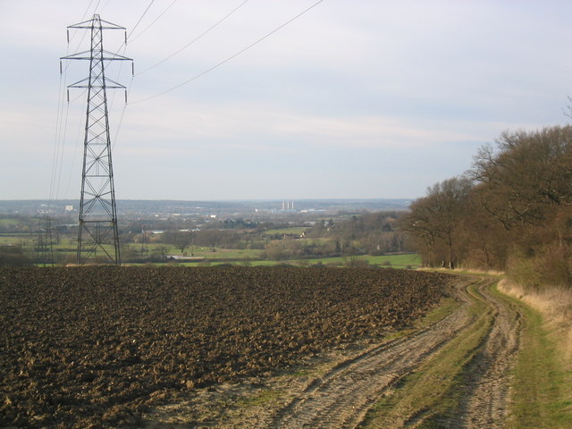
For those seeking outdoor activities, the surrounding area offers ample opportunities for hiking, cycling, and exploring the beautiful Essex countryside. The nearby Harknett Forest provides a haven for nature enthusiasts, with its diverse wildlife and well-marked trails.

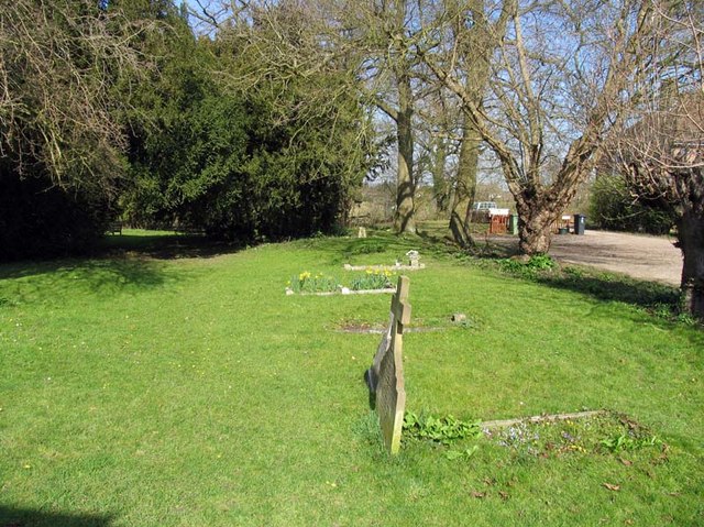
Harknett's Gate is a peaceful and charming village that offers a serene escape from the hustle and bustle of city life. Its natural beauty and strong community spirit make it an attractive destination for those looking to experience the tranquility of rural England.

If you have any feedback on the listing, please let us know in the comments section below.

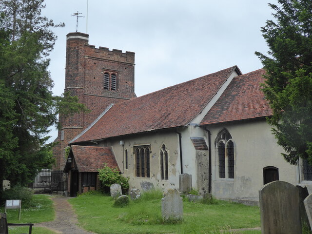
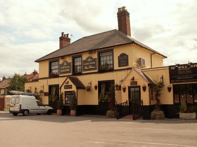
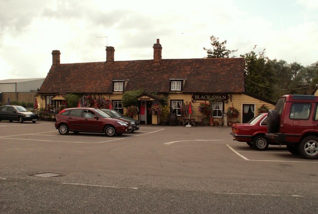
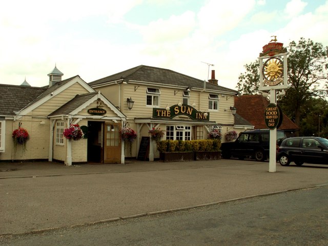
Harknett's Gate Images

Images are sourced within 2km of 51.740156/0.055519 or Grid Reference TL4206. Thanks to Geograph Open Source API. All images are credited.

Nazeing, All Saints
Nazeing, All Saints
Field near Jack's Hatch Looking South West from near the Epping Road.  The Three Forests' Way lies just over the horizon.
Field near Jack's Hatch
Looking South West from near the Epping Road. The Three Forests' Way lies just over the horizon.
'The Cock & Magpie' inn, Epping Green, Essex
'Black Swan' inn, Broadley Common, Essex
All Saints church, Nazeing, Essex This church has a Norman nave and a fine 16th century brick tower. It stands in a nice setting at the bottom of a dead-end road.
All Saints church, Nazeing, Essex
This church has a Norman nave and a fine 16th century brick tower. It stands in a nice setting at the bottom of a dead-end road.
'The Sun Inn', Broadley Common, Nazeing, Essex
Kingwood Chase, Nazeing, Essex This fine timber-framed house stands close to Nazeing Park.
Kingwood Chase, Nazeing, Essex
This fine timber-framed house stands close to Nazeing Park.
All Saints, Nazeing, Essex
Rolling field leading down to gully This large, rolling field, was populated only by a couple of horses and some farmyard junk. The views across to the Lea Valley were attractive, though.
Rolling field leading down to gully
This large, rolling field, was populated only by a couple of horses and some farmyard junk. The views across to the Lea Valley were attractive, though.
Ploughed field and pylon, with view over to the Lea Valley Despite the power lines, this is a very attractive view over rolling farmland to the Upper Lea Valley.
Ploughed field and pylon, with view over to the Lea Valley
Despite the power lines, this is a very attractive view over rolling farmland to the Upper Lea Valley.
Path through fields south of Broadley Common Path leading through green fields to Epping Green.
Path through fields south of Broadley Common
Path leading through green fields to Epping Green.
All Saints, Nazeing, Essex - Churchyard
All Saints, Nazeing, Essex - Lychgate
All Saints, Nazeing, Essex - Churchyard
All Saints, Nazeing, Essex - Porch
View from All Saints, Nazeing churchyard, Essex
Show me another place!

Harknett's Gate is located at Grid Ref: TL4206 (Lat: 51.740156, Lng: 0.055519)

Administrative County: Essex

District: Epping Forest

Police Authority: Essex

What 3 Words

///fall.flute.posed. Near Roydon, Essex

Related Wikis

Nazeing

Nazeing ( NAYZ-ing) is a village and parish in Essex, England. Within the parish are the separate settlements of Upper Nazeing, Middle Nazeing, and Lower...

Nazeing Triangle

Nazeing Triangle is a 0.5 hectare Local Nature Reserve in Nazeing, between Harlow and Cheshunt in Essex. It is owned by Nazeing Parish Council and managed...

Jacks Hatch

Jacks Hatch (also spelt Jack's Hatch), is a hamlet in the Epping Upland civil parish of the Epping Forest district of Essex, England. Jacks Hatch is 1...

Roydon Hamlet

Roydon Hamlet is a hamlet in the Epping Forest district in the English county of Essex. Nearby settlements include the large town of Harlow and the village...

Nearby Amenities

Located within 500m of 51.740156,0.055519
Created By: YahooApplet 1.0
Lat/Long: 51.7372851/0.0508749
Created By: YahooApplet 1.0
Lat/Long: 51.7371994/0.0510938
Created By: YahooApplet 1.0
Lat/Long: 51.7381988/0.0490294
Bus Stop
The Rising Sun
Naptan AtcoCode: 1500609
Naptan Bearing: NE
Naptan BusStopType: CUS
Naptan CommonName: The Rising Sun
Naptan Indicator: o/s
Naptan Landmark: The Rising Sun
Naptan NaptanCode: esxgmatm
Naptan Street: Nazeing Common
Naptan Verified: no
Physically Present: no
Public Transport: platform
Source: naptan_import
Lat/Long: 51.7401362/0.0555446
Bus Stop
The Rising Sun
Naptan AtcoCode: 1500609YY
Naptan Bearing: SW
Naptan BusStopType: CUS
Naptan CommonName: The Rising Sun
Naptan Indicator: Opp
Naptan Landmark: The Rising Sun
Naptan NaptanCode: esxgpjpw
Naptan Street: Nazeing Common
Naptan Verified: no
Physically Present: no
Public Transport: platform
Source: naptan_import
Lat/Long: 51.740117/0.0556162
Bus Stop
Betts Lane
Naptan AtcoCode: 1500IM1637
Naptan Bearing: N
Naptan BusStopType: CUS
Naptan CommonName: Betts Lane
Naptan Crossing: Betts Lane
Naptan Indicator: Adj
Naptan Landmark: Betts Lane
Naptan NaptanCode: esxgmwgp
Naptan Street: Nazeing Common
Naptan Verified: no
Physically Present: no
Public Transport: platform
Source: naptan_import
Lat/Long: 51.736946/0.0528507
Bus Stop
Betts Lane
Naptan AtcoCode: 1500IM1637B
Naptan Bearing: S
Naptan BusStopType: CUS
Naptan CommonName: Betts Lane
Naptan Crossing: Betts Lane
Naptan Indicator: Opp
Naptan Landmark: Betts Lane
Naptan NaptanCode: esxgmwgt
Naptan Street: Nazeing Common
Naptan Verified: no
Physically Present: no
Public Transport: platform
Source: naptan_import
Lat/Long: 51.7369177/0.0529218
Barrier: kissing_gate
Lat/Long: 51.7399523/0.0517277
Barrier: kissing_gate
Lat/Long: 51.739394/0.050173
Barrier: kissing_gate
Lat/Long: 51.738908/0.048717
Nazeing Common Cricket Club
Building: yes
Leisure: sports_centre
Sport: cricket
Lat/Long: 51.7381568/0.0564787
Pub
The Sun
Lat/Long: 51.7398842/0.0548265
Defibrillator
Defibrillator Location: inside old red phone box in Nazeing
Emergency: defibrillator
Lat/Long: 51.7389379/0.0485526
Post Box
Post Box Type: lamp
Ref: EN9 33
Royal Cypher: EIIR
Royal Cypher Wikidata: Q33102113
Lat/Long: 51.7389095/0.0485691
The data included in this document is from www.openstreetmap.org. The data is made available under ODbL.

Have you been to Harknett's Gate?

Leave your review of Harknett's Gate below (or comments, questions and feedback).