Hanlith Moor
Downs, Moorland in Yorkshire Craven
England
Hanlith Moor

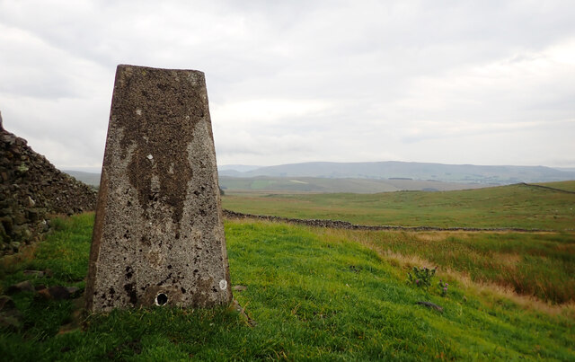
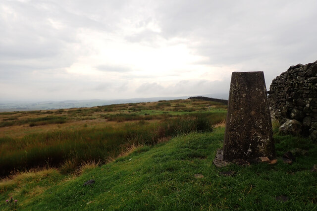
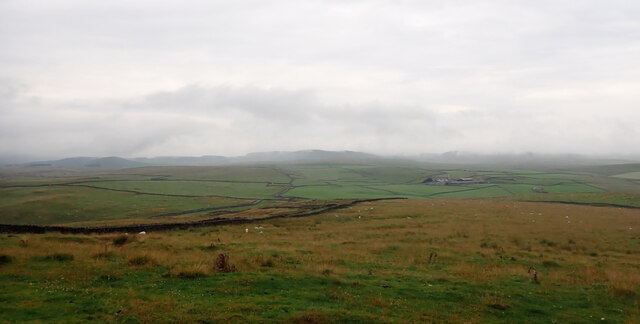
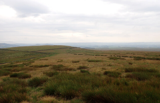
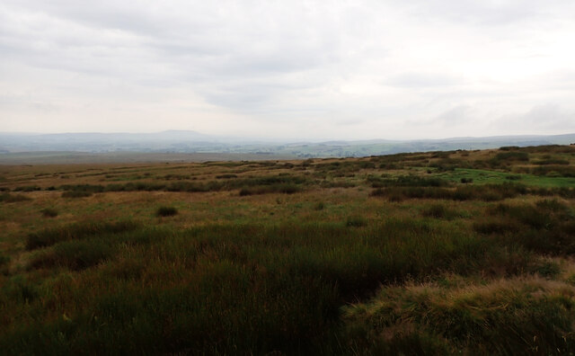
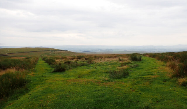
Hanlith Moor is a picturesque area located in Yorkshire, England. Known for its stunning natural beauty, it is situated on the edge of the Yorkshire Dales National Park. The moorland encompasses a wide expanse of rolling hills, heather-covered moors, and scattered woodlands, creating a unique and diverse landscape.
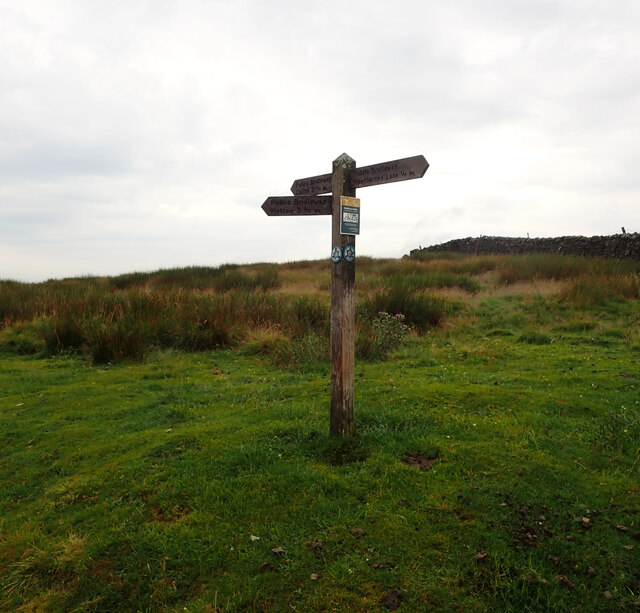
With its serene and tranquil atmosphere, Hanlith Moor offers visitors the opportunity to escape the hustle and bustle of everyday life. The moorland is crisscrossed by numerous walking trails and footpaths, allowing visitors to explore the area at their own pace. Hikers and nature enthusiasts will be delighted by the untouched beauty of the surroundings, with breathtaking views at every turn.
Hanlith Moor is home to a variety of wildlife, including birds of prey, such as kestrels and buzzards, as well as numerous species of wildflowers, adding bursts of color to the landscape. The area is also known for its historic sites, with ancient stone circles and burial mounds scattered throughout the moorland, providing insight into its rich past.
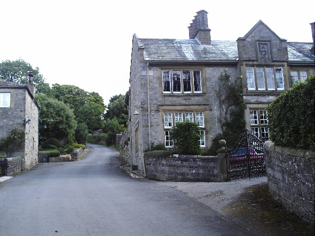
Visitors can also enjoy the charming nearby villages, which offer traditional Yorkshire hospitality and a chance to experience the local culture. Hanlith Moor truly offers a unique and unforgettable experience for those seeking a peaceful retreat in the heart of nature.
If you have any feedback on the listing, please let us know in the comments section below.
Hanlith Moor Images
Images are sourced within 2km of 54.056751/-2.1238373 or Grid Reference SD9162. Thanks to Geograph Open Source API. All images are credited.


Hanlith Moor is located at Grid Ref: SD9162 (Lat: 54.056751, Lng: -2.1238373)
Division: West Riding
Administrative County: North Yorkshire
District: Craven
Police Authority: North Yorkshire
What 3 Words
///jugs.blacked.similar. Near Gargrave, North Yorkshire
Nearby Locations
Related Wikis

Friar Garth Farmhouse
Friar Garth Farmhouse is a Grade II listed building in Malham, North Yorkshire, England. It was listed as an historic site by English Heritage on 13 September...
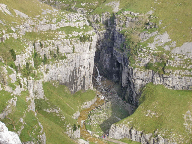
Gordale Scar
Gordale Scar is a limestone ravine 1 mile (1.6 km) north-east of Malham, North Yorkshire, England. It contains two waterfalls and has overhanging limestone...

Malham
Malham is a village and civil parish in the Craven district of North Yorkshire, England. Before 20th century boundary changes, the village was part of...
Hanlith
Hanlith is a small village and civil parish in the Craven district of North Yorkshire, England. It is situated near Kirkby Malham and the tourist attraction...
Nearby Amenities
Located within 500m of 54.056751,-2.1238373Have you been to Hanlith Moor?
Leave your review of Hanlith Moor below (or comments, questions and feedback).