Willy's Wood

Wood, Forest in Yorkshire Craven

England

Willy's Wood

Mountain rescue team at Malham Cove
Mountain rescue team at Malham Cove Credit: Mark Percy

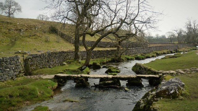
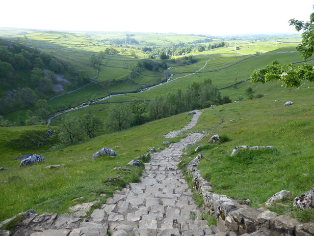
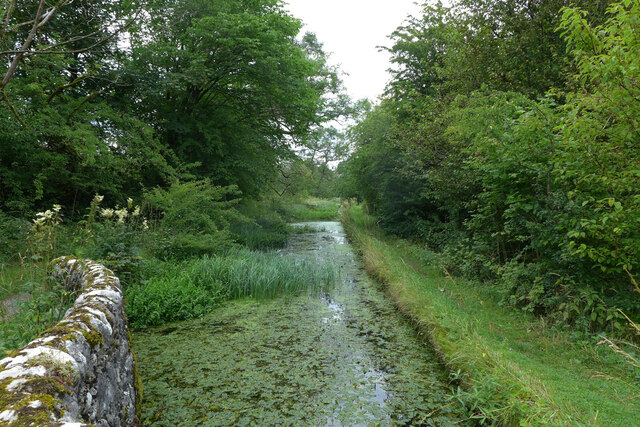
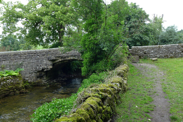
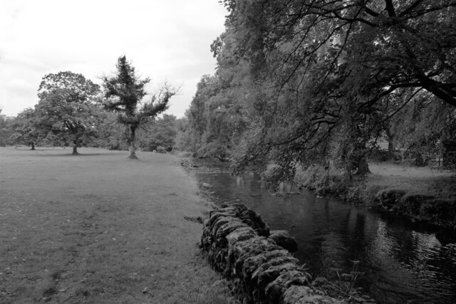
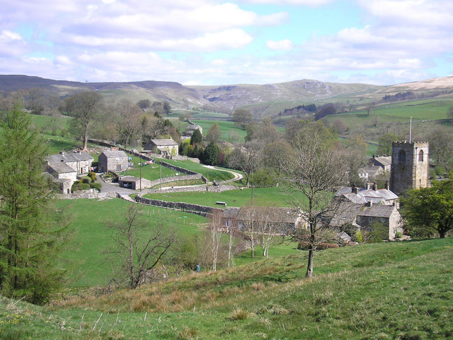
Willy's Wood is a picturesque forest located in the heart of Yorkshire, England. Stretching across a vast area of lush greenery, this woodland boasts a diverse range of flora and fauna, making it an idyllic destination for nature enthusiasts and outdoor adventurers alike.

The forest is named after William "Willy" Henderson, a local conservationist and nature lover who dedicated his life to preserving the natural beauty of the area. Willy's Wood is his lasting legacy, a testament to his passion for the environment.

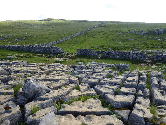
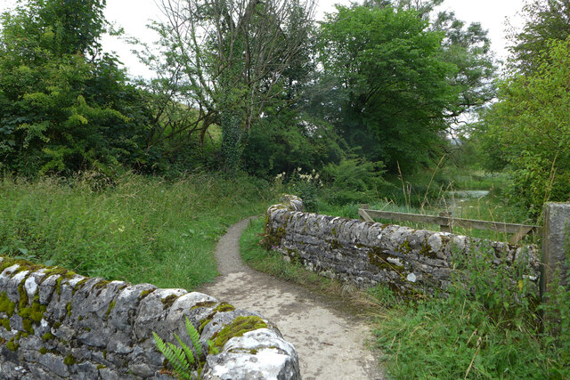
The forest is characterized by its dense canopy of towering trees, predominantly oak, beech, and birch. These majestic giants provide a tranquil and shady atmosphere, perfect for leisurely strolls or picnics with family and friends. The forest floor is adorned with a vibrant carpet of wildflowers, creating a burst of color during the spring and summer months.

Willy's Wood is also home to a diverse range of wildlife. Visitors may catch a glimpse of deer, foxes, and rabbits as they wander through the woods, while birdwatchers can spot various species of birds, including woodpeckers and owls. The forest's serene environment offers a unique opportunity to observe these creatures in their natural habitat.

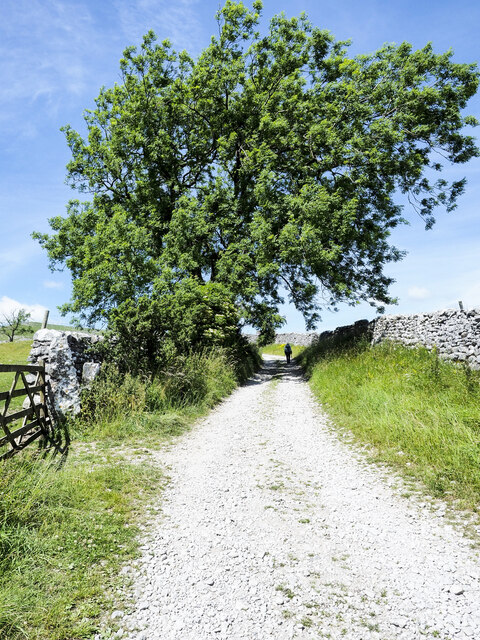
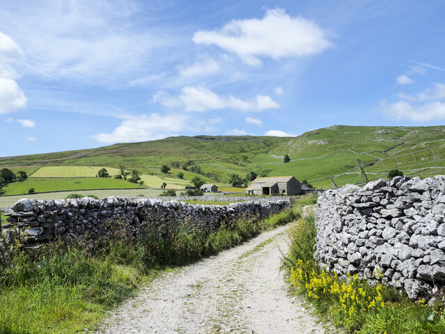
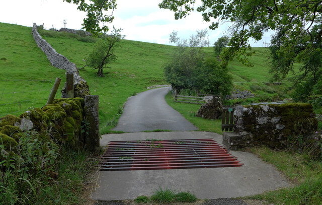
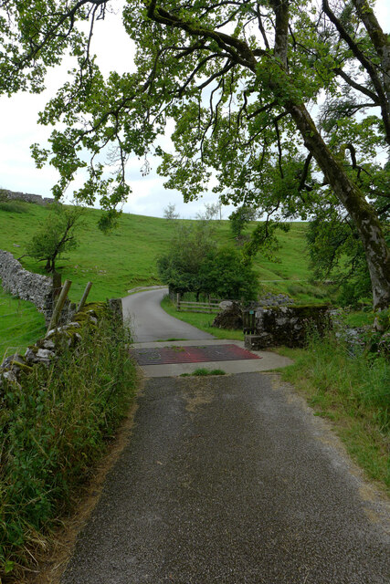
For those seeking a more active experience, Willy's Wood offers numerous walking trails and cycling paths that wind through the forest. These trails cater to all levels of fitness and provide the perfect opportunity to explore the woodland's hidden gems.

Willy's Wood truly captures the essence of Yorkshire's natural beauty and is a must-visit destination for anyone looking to immerse themselves in the tranquility of nature.

If you have any feedback on the listing, please let us know in the comments section below.

Willy's Wood Images

Images are sourced within 2km of 54.060816/-2.1381033 or Grid Reference SD9162. Thanks to Geograph Open Source API. All images are credited.

Mountain rescue team at Malham Cove
Air ambulance at Malham Cove The Yorkshire Air Ambulance takes off from Malham Cove.
Air ambulance at Malham Cove
The Yorkshire Air Ambulance takes off from Malham Cove.
Sheer Face of Malham Cove Looking up the sheer limestone cliff of Malham Cove from below.
Sheer Face of Malham Cove
Looking up the sheer limestone cliff of Malham Cove from below.
Malham Cove
Malham Cove
Clapper Bridge Across the Malham Beck
Clapper Bridge
Across the Malham Beck
Jet Trails over Malham Cove Taken from the bottom of the cove looking nearly vertically upwards.
Jet Trails over Malham Cove
Taken from the bottom of the cove looking nearly vertically upwards.
The Pennine Way near Town Head
The Pennine Way near High Barn
The Pennine Way near Malham Cove
Limestone-chipped road climbing out of Malham The road climbs among fields heading for a cluster of named barns to the west of Malham.
Limestone-chipped road climbing out of Malham
The road climbs among fields heading for a cluster of named barns to the west of Malham.
Field Barns The hill road surfaced with chipped limestone branches from Long Lane out of Malham and gives farm access to several named barns including the two in the image which are assumed to be known as Field Barns.
Field Barns
The hill road surfaced with chipped limestone branches from Long Lane out of Malham and gives farm access to several named barns including the two in the image which are assumed to be known as Field Barns.
Mill leat, Scalegill Mill, Kirkby Malham
Footbridge over the mill leat, Scalegill Mill, Kirkby Malham
Cattle grid on the road to Scalegill Mill, Kirkby Malham
Hanlith Bridge The bridge carries Green Gate over The River Aire. The Pennine Way ascends the steps to the road.
Hanlith Bridge
The bridge carries Green Gate over The River Aire. The Pennine Way ascends the steps to the road.
The Pennine Way and The River Aire near Hanlith Hall The Pennine Way is a National Trail in England, with a small section in Scotland. The trail runs 267 miles from Edale, in the northern Derbyshire Peak District, north through the Yorkshire Dales and the Northumberland National Park and ends at Kirk Yetholm, just inside the Scottish border. The path runs along the Pennine hills, sometimes described as the "backbone of England". Although not the United Kingdom's longest National Trail, it is according to the Ramblers' Association "one of Britain's best known and toughest".
The Pennine Way and The River Aire near Hanlith Hall
The Pennine Way is a National Trail in England, with a small section in Scotland. The trail runs 267 miles from Edale, in the northern Derbyshire Peak District, north through the Yorkshire Dales and the Northumberland National Park and ends at Kirk Yetholm, just inside the Scottish border. The path runs along the Pennine hills, sometimes described as the "backbone of England". Although not the United Kingdom's longest National Trail, it is according to the Ramblers' Association "one of Britain's best known and toughest".
Show me another place!

Willy's Wood is located at Grid Ref: SD9162 (Lat: 54.060816, Lng: -2.1381033)

Division: West Riding

Administrative County: North Yorkshire

District: Craven

Police Authority: North Yorkshire

What 3 Words

///talkative.given.gentle. Near Hellifield, North Yorkshire

Related Wikis

Friar Garth Farmhouse

Friar Garth Farmhouse is a Grade II listed building in Malham, North Yorkshire, England. It was listed as an historic site by English Heritage on 13 September...
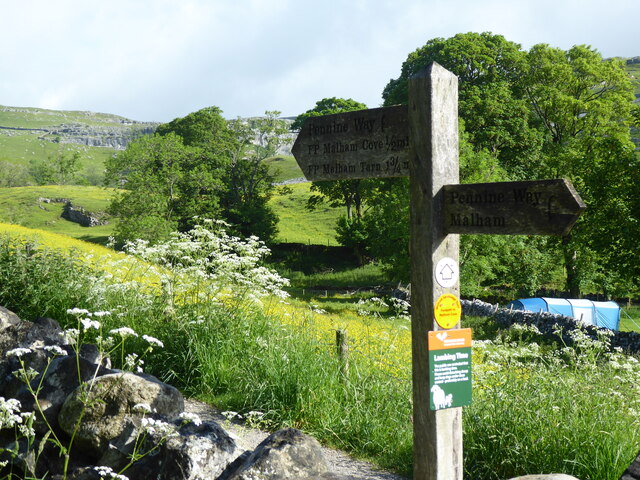
Malham

Malham is a village and civil parish in the Craven district of North Yorkshire, England. Before 20th century boundary changes, the village was part of...
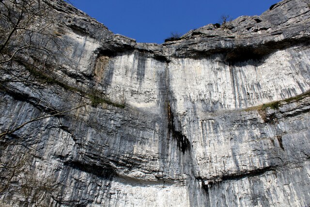
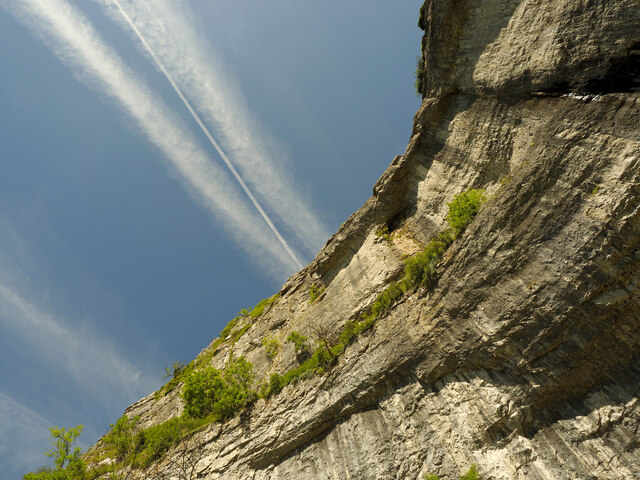
Gordale Scar

Gordale Scar is a limestone ravine 1 mile (1.6 km) north-east of Malham, North Yorkshire, England. It contains two waterfalls and has overhanging limestone...

Hanlith

Hanlith is a small village and civil parish in the Craven district of North Yorkshire, England. It is situated near Kirkby Malham and the tourist attraction...
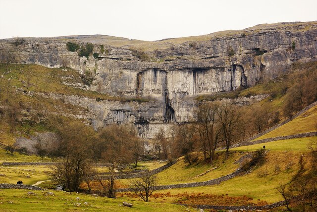
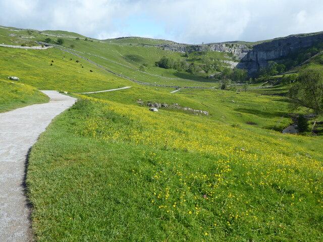
Malham Cove

Malham Cove is a large curved limestone formation 0.6 miles (1 km) north of the village of Malham, North Yorkshire, England. It was formed by a waterfall...

St Michael's Church, Kirkby Malham

St Michael's Church is in the village of Kirkby Malham, North Yorkshire, England. It is an active Anglican parish church in the deanery of Bowland and...

Kirkby Malham

Kirkby Malham is a small village and civil parish in the Craven district of North Yorkshire, England. Situated in the Yorkshire Dales it lies 5 miles...

Scosthrop

Scosthrop is a civil parish in the Craven district of North Yorkshire, England. The population as taken at the 2011 Census was less than 100. Details are...

Nearby Amenities

Located within 500m of 54.060816,-2.1381033
Barrier: kissing_gate
Lat/Long: 54.0603153/-2.1409485
Barrier: kissing_gate
Foot: yes
Lat/Long: 54.0628384/-2.1403205
Passing Place
Lat/Long: 54.0641551/-2.1419616
Passing Place
Lat/Long: 54.0636043/-2.1425878
Bench
Material: stone
Seats: 1
Source: GPS survey
Lat/Long: 54.0604025/-2.1408507
Barrier: kissing_gate
Source: GPS survey
Lat/Long: 54.0638074/-2.1401145
Low Ridding Lathe
Building: barn
Fixme: does this still exist? Difficult to see on aerial imagery due to trees
Source: OS sheet 133, publ.1852
Lat/Long: 54.059559/-2.135258
Willy's Brow
Place: locality
Lat/Long: 54.0620416/-2.137078
Wedber Brow
Place: locality
Lat/Long: 54.0635985/-2.1381655
Natural: cave_entrance
Note: high up on hillside, location interpolated from valley bottom view
Source: survey
Lat/Long: 54.064526/-2.1380106
The data included in this document is from www.openstreetmap.org. The data is made available under ODbL.

Have you been to Willy's Wood?

Leave your review of Willy's Wood below (or comments, questions and feedback).