Luton Down

Downs, Moorland in Dorset

England

Luton Down

Direction Sign – Signpost at Ham Corner, Tarrant Rawston Located at Ham Corner, on the northeast side of the junction on the minor road to Tarrant Rushton in Tarrant Rawston parish. 3 arms and annulus finial. See also <a title="https://www.geograph.org.uk/photo/6043151" href="https://www.geograph.org.uk/photo/6043151">Link</a> before the arms were replaced.

Milestone Society National ID: DO_ST9305
Direction Sign – Signpost at Ham Corner, Tarrant Rawston Credit: C Payne

Luton Down, located in Dorset, England, is a charming area characterized by its stunning downs and moorland landscapes. Covering a vast expanse, this region is renowned for its natural beauty and diverse flora and fauna.

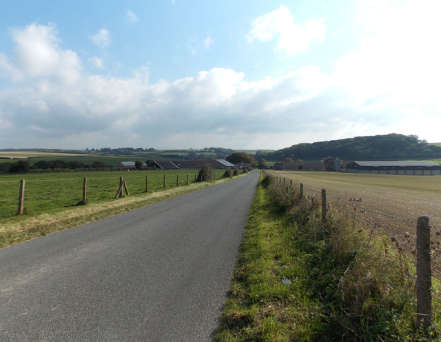
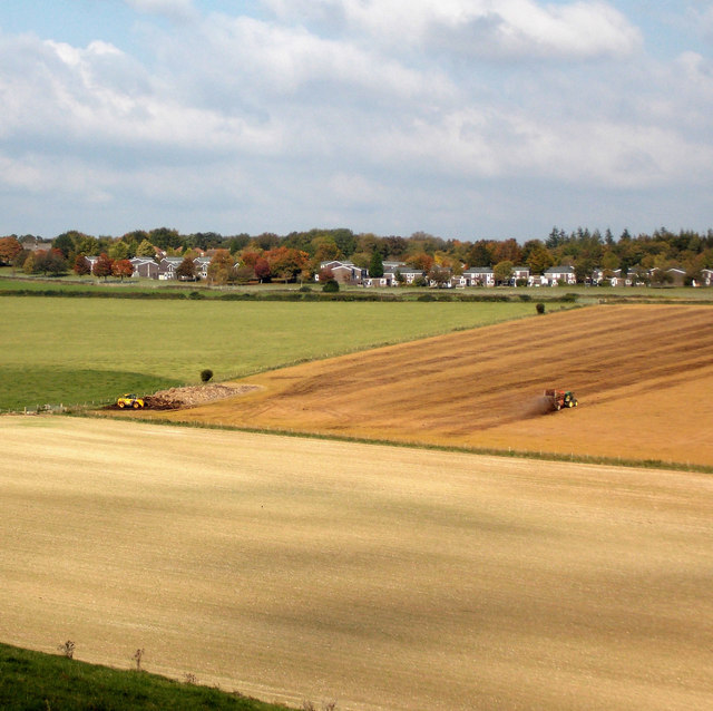
The downs of Luton Down are a series of rolling hills, offering picturesque views of the surrounding countryside. These hills are covered in lush grasslands and are a favorite spot for hikers and walkers, who can explore the numerous trails that crisscross the area. Visitors can also enjoy breathtaking vistas of the nearby coastline from the higher elevations of the downs.

The moorland of Luton Down is equally captivating. This rugged terrain is characterized by its open expanses and heathland vegetation. The moorland is home to a variety of plant species, including heather, gorse, and bracken, which create a vibrant and colorful landscape throughout the year. It is also a haven for wildlife, with numerous bird species, such as skylarks and lapwings, making their homes here.

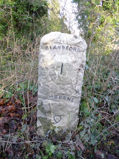
In addition to its natural beauty, Luton Down also has a rich cultural heritage. The area is dotted with ancient archaeological sites, including burial mounds and hill forts, which provide insights into the region's history and its early inhabitants.

Overall, Luton Down is a captivating destination for nature enthusiasts and history buffs alike. Its picturesque downs, diverse moorland, and cultural significance make it a must-visit location in Dorset.

If you have any feedback on the listing, please let us know in the comments section below.

Luton Down Images

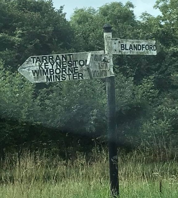
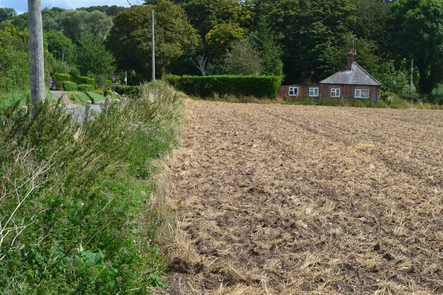
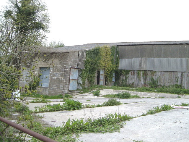
Images are sourced within 2km of 50.862172/-2.1149538 or Grid Reference ST9206. Thanks to Geograph Open Source API. All images are credited.

Direction Sign – Signpost at Ham Corner, Tarrant Rawston Located at Ham Corner, on the northeast side of the junction on the minor road to Tarrant Rushton in Tarrant Rawston parish. 3 arms and annulus finial. See also <a title="https://www.geograph.org.uk/photo/6043151" href="https://www.geograph.org.uk/photo/6043151">Link</a> before the arms were replaced.

Milestone Society National ID: DO_ST9305
Direction Sign – Signpost at Ham Corner, Tarrant Rawston
Located at Ham Corner, on the northeast side of the junction on the minor road to Tarrant Rushton in Tarrant Rawston parish. 3 arms and annulus finial. See also Link before the arms were replaced. Milestone Society National ID: DO_ST9305
Looking towards Down Barn Agricultural land around Down Barn, near Tarrant Rawston.
Looking towards Down Barn
Agricultural land around Down Barn, near Tarrant Rawston.
Muck spreading Muck spreading on Luton Down, south of Blandford Camp.
Muck spreading
Muck spreading on Luton Down, south of Blandford Camp.
Poor chalk soil on Hungry Down Hungry Down, east of Blandford, is aptly named due to poor chalky soil
Poor chalk soil on Hungry Down
Hungry Down, east of Blandford, is aptly named due to poor chalky soil
Buzbury Rings Just over three miles north-west of the well known Badbury Rings, are these earthworks of the lesser known Buzbury Rings.
Buzbury Rings
Just over three miles north-west of the well known Badbury Rings, are these earthworks of the lesser known Buzbury Rings.
Harrowing on Keynston Down Springtime harrowing of the soil on Keynston Down.
Harrowing on Keynston Down
Springtime harrowing of the soil on Keynston Down.
Old Milestone by the B3082, east of Blandford Forum Carved stone post by the B3082, in parish of LANGTON LONG BLANDFORD (NORTH DORSET District), half mile East of Blandford bypass, on grass verge, in two pieces,150m east of small lay-by and 3m West of drain at roadside, on North side of road. Dorset 3 (limestone), erected by the Blandford & Wimborne turnpike trust in the 19th century. 

Inscription reads:-
BLANDFORD
1
WIMBORNE
9 
Carved benchmark on top of stone.

Grade II Listed. List Entry Number:1324294
<span class="nowrap"><a title="https://historicengland.org.uk/listing/the-list/list-entry/1324294" rel="nofollow ugc noopener" href="https://historicengland.org.uk/listing/the-list/list-entry/1324294">Link</a><img style="margin-left:2px;" alt="External link" title="External link - shift click to open in new window" src="https://s1.geograph.org.uk/img/external.png" width="10" height="10"/></span>

Milestone Society National ID: DO_BFWB01.
Old Milestone by the B3082, east of Blandford Forum
Carved stone post by the B3082, in parish of LANGTON LONG BLANDFORD (NORTH DORSET District), half mile East of Blandford bypass, on grass verge, in two pieces,150m east of small lay-by and 3m West of drain at roadside, on North side of road. Dorset 3 (limestone), erected by the Blandford & Wimborne turnpike trust in the 19th century. Inscription reads:- BLANDFORD 1 WIMBORNE 9 Carved benchmark on top of stone. Grade II Listed. List Entry Number:1324294 LinkExternal link Milestone Society National ID: DO_BFWB01.
Old Milestone by the B3082, Keynston Down Carved stone post by the B3082, in parish of LANGTON LONG BLANDFORD (NORTH DORSET District), Keynston Down, by Golf Course opposite footpath to Keynston Down, on East side of road. Dorset 3 (limestone), erected by the Blandford & Wimborne turnpike trust in the 19th century. 

Inscription reads:-
BLANDFORD
2
WIMBORNE
7   
Carved benchmark on top of stone.

Grade II Listed. List Entry Number:1110833
<span class="nowrap"><a title="https://historicengland.org.uk/listing/the-list/list-entry/1110833" rel="nofollow ugc noopener" href="https://historicengland.org.uk/listing/the-list/list-entry/1110833">Link</a><img style="margin-left:2px;" alt="External link" title="External link - shift click to open in new window" src="https://s1.geograph.org.uk/img/external.png" width="10" height="10"/></span>

Milestone Society National ID: DO_BFWB02.
Old Milestone by the B3082, Keynston Down
Carved stone post by the B3082, in parish of LANGTON LONG BLANDFORD (NORTH DORSET District), Keynston Down, by Golf Course opposite footpath to Keynston Down, on East side of road. Dorset 3 (limestone), erected by the Blandford & Wimborne turnpike trust in the 19th century. Inscription reads:- BLANDFORD 2 WIMBORNE 7 Carved benchmark on top of stone. Grade II Listed. List Entry Number:1110833 LinkExternal link Milestone Society National ID: DO_BFWB02.
Direction Sign - Signpost by Ham Corner, Tarrant Rawston Parish Annulus finial - 3 arms; Dorset halo without NGR by the UC road, in parish of Tarrant Rawston (North Dorset District), Ham Corner, at corner of UC road to Tarrant Rushton, on verge.

Surveyed

Milestone Society National ID: DO_ST9305
Direction Sign - Signpost by Ham Corner, Tarrant Rawston Parish
Annulus finial - 3 arms; Dorset halo without NGR by the UC road, in parish of Tarrant Rawston (North Dorset District), Ham Corner, at corner of UC road to Tarrant Rushton, on verge. Surveyed Milestone Society National ID: DO_ST9305
Old Direction Sign - Signpost by the B3082, Wimborne Road No finial - 3 arms; by the B3082, in parish of Langton Long Blandford (North Dorset District), junction of Wimborne Road with UC road to Tarrant Rushton.

To be surveyed

Milestone Society National ID: DO_ST9106
Old Direction Sign - Signpost by the B3082, Wimborne Road
No finial - 3 arms; by the B3082, in parish of Langton Long Blandford (North Dorset District), junction of Wimborne Road with UC road to Tarrant Rushton. To be surveyed Milestone Society National ID: DO_ST9106
Direction Sign - Signpost south of Tarrant Rawston Annulus and bar finial - 4 arms; Dorset halo with NGR by the UC road, in parish of Tarrant Rawston (North Dorset District), Tarrant Rawston, South of village at T-junction with UC road to Blandford, on embankment.

Surveyed

Milestone Society National ID: DO_ST9306
Direction Sign - Signpost south of Tarrant Rawston
Annulus and bar finial - 4 arms; Dorset halo with NGR by the UC road, in parish of Tarrant Rawston (North Dorset District), Tarrant Rawston, South of village at T-junction with UC road to Blandford, on embankment. Surveyed Milestone Society National ID: DO_ST9306
Field edge at Tarrant Rushton
St Mary's church Tarrant Rushton, Dorset This tiny cross shaped church stands well hidden in the Tarrant Valley area of Dorset.
St Mary's church Tarrant Rushton, Dorset
This tiny cross shaped church stands well hidden in the Tarrant Valley area of Dorset.
Tarrant Rushton, Dorset, St Mary's Church
Langton Lodge Farm drive A shelter belt of trees runs alongside this track across the Dorset downs.
Langton Lodge Farm drive
A shelter belt of trees runs alongside this track across the Dorset downs.
Derelict buildings on Wimborne Road According to a notice by the roadside, these are to be developed into business units.
Derelict buildings on Wimborne Road
According to a notice by the roadside, these are to be developed into business units.
Down Barn A farm on the downs west of the Tarrant valley.
Down Barn
A farm on the downs west of the Tarrant valley.
Buzbury Rings Some of the holes of Ashley Wood golf course are played across the eastern part of this hillfort.
Buzbury Rings
Some of the holes of Ashley Wood golf course are played across the eastern part of this hillfort.
Show me another place!

Luton Down is located at Grid Ref: ST9206 (Lat: 50.862172, Lng: -2.1149538)

Unitary Authority: Dorset

Police Authority: Dorset

What 3 Words

///cover.demanding.talent. Near Pimperne, Dorset

Nearby Locations

Luton Down

Related Wikis

Blandford Camp

Blandford Camp is a military base comprising some 390 hectares of downland lying 2 miles (3 km) north-east of Blandford Forum in the county of Dorset in...

Defence School of Communications and Information Systems

The Defence School of Communications and Information Systems (DSCIS) is a Defence Training Establishment of the British Ministry of Defence. It was formed...

Royal Signals Museum

The Royal Signals Museum is a military museum based at Blandford Camp in the civil parish of Tarrant Monkton, northwest of the town of Blandford Forum...

Buzbury Rings

Buzbury Rings is an Iron Age hillfort about 2 miles (3.2 km) east of Blandford Forum and 1 mile (1.6 km) northwest of the village of Tarrant Keyneston...

Nearby Amenities

Located within 500m of 50.862172,-2.1149538
Barrier: stile
Bicycle: no
Foot: yes
Horse: no
Motor Vehicle: no
Lat/Long: 50.864749/-2.1114352
The data included in this document is from www.openstreetmap.org. The data is made available under ODbL.

Have you been to Luton Down?

Leave your review of Luton Down below (or comments, questions and feedback).