Great Scoska Moor

Downs, Moorland in Yorkshire Craven

England

Great Scoska Moor

Benchmark on stone at base of wall on south side of road west of Litton Ordnance Survey rivet benchmark levelled at 257.779m above Newlyn Datum verified 1954
Benchmark on stone at base of wall on south side of road west of Litton Credit: Roger Templeman

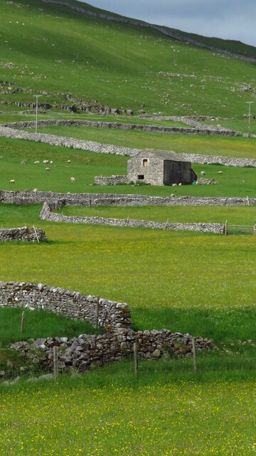
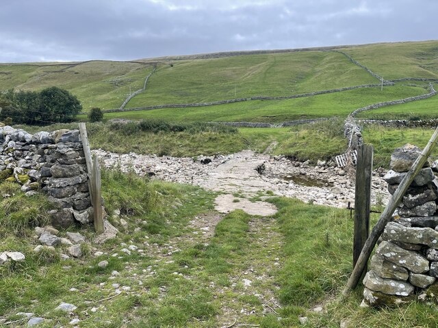
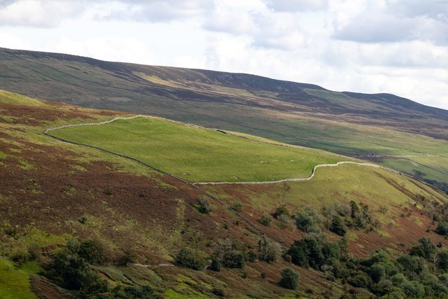
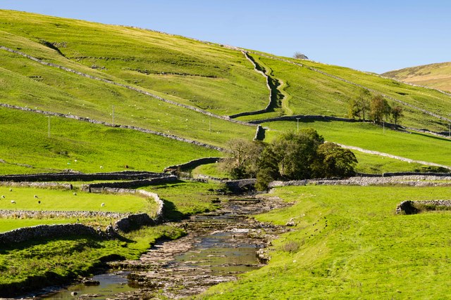
Great Scoska Moor, located in Yorkshire, England, is a picturesque and expansive area of natural beauty, characterized by its rolling hills, vast moorlands, and dramatic cliffs. Covering an area of approximately 500 square kilometers, it forms part of the larger Yorkshire Downs and Moorland region.

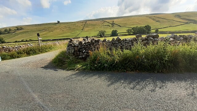
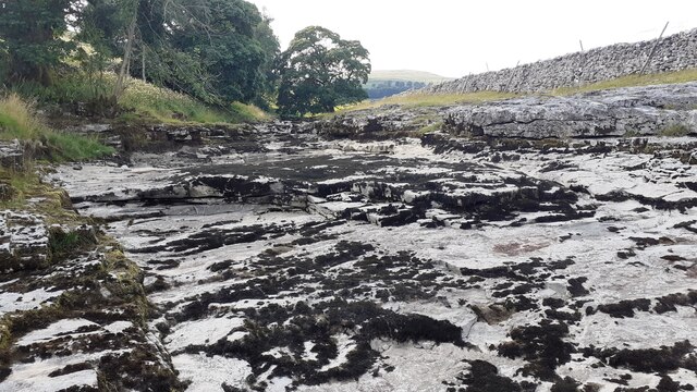
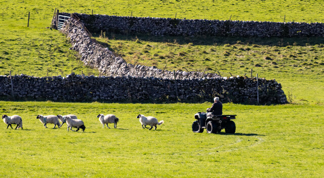
The moorland landscape of Great Scoska Moor is dominated by heather and bracken, creating a stunning purple and green tapestry that stretches as far as the eye can see. The vegetation provides a crucial habitat for a variety of wildlife, including birds such as grouse, curlews, and skylarks, as well as mammals such as hares and deer.

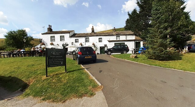
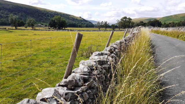
Visitors to Great Scoska Moor can enjoy a range of outdoor activities, including hiking, cycling, and birdwatching. The area is crisscrossed with an extensive network of trails and footpaths, providing ample opportunities to explore the diverse terrain. Along the way, hikers can admire breathtaking views of the surrounding countryside and catch glimpses of rare and endangered species that call the moorland their home.

In addition to its natural beauty, Great Scoska Moor also boasts a rich cultural heritage. Ancient stone circles and burial mounds dot the landscape, offering insights into the area's prehistoric past. Furthermore, the moorland has provided inspiration for many artists and writers throughout history, including the renowned Bronte sisters, who found solace and inspiration in its rugged beauty.

Overall, Great Scoska Moor is a captivating destination that offers a harmonious blend of natural wonders, outdoor activities, and cultural significance, making it a must-visit location for nature enthusiasts and history buffs alike.

If you have any feedback on the listing, please let us know in the comments section below.

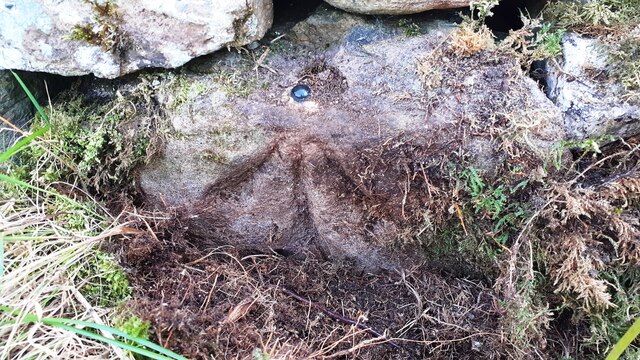
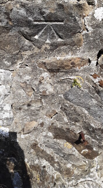
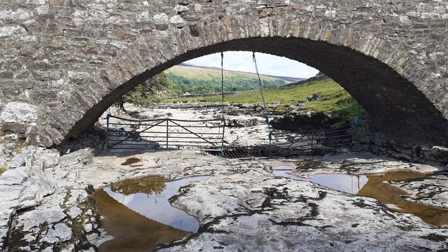
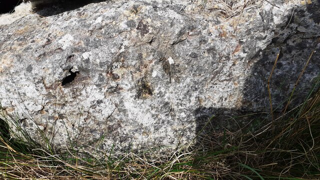
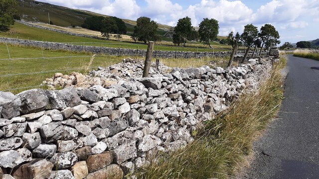
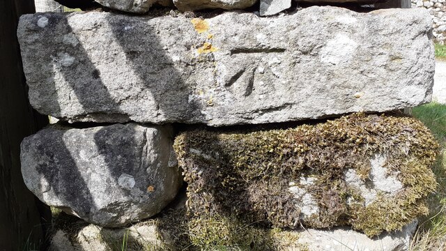
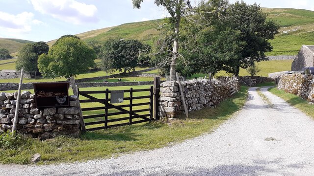
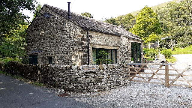
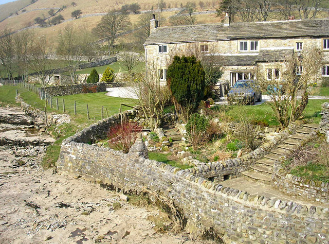
Great Scoska Moor Images

Images are sourced within 2km of 54.15376/-2.149759 or Grid Reference SD9073. Thanks to Geograph Open Source API. All images are credited.

Benchmark on stone at base of wall on south side of road west of Litton Ordnance Survey rivet benchmark levelled at 257.779m above Newlyn Datum verified 1954
Benchmark on stone at base of wall on south side of road west of Litton
Ordnance Survey rivet benchmark levelled at 257.779m above Newlyn Datum verified 1954
Track towards bridge over River Skirfare from road to Litton There is an Ordnance Survey benchmark <a href="https://www.geograph.org.uk/photo/6926956">SD8974 : Benchmark on stone at base of wall on south side of road west of Litton</a> on the base of the wall about 3 feet from the corner
Track towards bridge over River Skirfare from road to Litton
There is an Ordnance Survey benchmark SD8974 : Benchmark on stone at base of wall on south side of road west of Litton on the base of the wall about 3 feet from the corner
Benchmark on back of west parapet of bridge taking track over River Skirfare Ordnance Survey cut mark benchmark levelled at 254.843m above Newlyn Datum verified 1954
Benchmark on back of west parapet of bridge taking track over River Skirfare
Ordnance Survey cut mark benchmark levelled at 254.843m above Newlyn Datum verified 1954
Bridge taking track over River Skirfare 1km west of Litton There is an Ordnance Survey benchmark <a href="https://www.geograph.org.uk/photo/6927562">SD8974 : Benchmark on back of west parapet of bridge taking track over River Skirfare</a> on the bridge wall on the left hand side of its arch
Bridge taking track over River Skirfare 1km west of Litton
There is an Ordnance Survey benchmark SD8974 : Benchmark on back of west parapet of bridge taking track over River Skirfare on the bridge wall on the left hand side of its arch
View west along the dry bed of River Skirfare at New Bridge
New Ings Barns, Littondale
River Skirfare Ford This ford is found on the River Skirfare.
River Skirfare Ford
This ford is found on the River Skirfare.
Potts Moor Field beneath Potts Moor.
Potts Moor
Field beneath Potts Moor.
Littondale Herding sheep in Littondale.
Littondale
Herding sheep in Littondale.
New Bridge New Bridge on the River Skirfare.
New Bridge
New Bridge on the River Skirfare.
The Queens Arms
The Queens Arms
Road towards Litton approaching Cave Barn
Benchmark on roadside rock which was part of Low Fields Barn Ordnance Survey pivot benchmark described on the Bench Mark Database at <span class="nowrap"><a title="www.bench-marks.org.uk/bm100720" rel="nofollow ugc noopener" href="http://www.bench-marks.org.uk/bm100720">Link</a><img style="margin-left:2px;" alt="External link" title="External link - shift click to open in new window" src="https://s1.geograph.org.uk/img/external.png" width="10" height="10"/></span>
Benchmark on roadside rock which was part of Low Fields Barn
Ordnance Survey pivot benchmark described on the Bench Mark Database at LinkExternal link
The remains of Low Fields Barn behind wall on NE side of Littondale road Part of the barn wall is now the roadside wall with its Ordnance Survey benchmark <a href="https://www.geograph.org.uk/photo/6926885">SD9173 : Benchmark on roadside rock which was part of Low Fields Barn</a> on a stone at the base of the wall
The remains of Low Fields Barn behind wall on NE side of Littondale road
Part of the barn wall is now the roadside wall with its Ordnance Survey benchmark SD9173 : Benchmark on roadside rock which was part of Low Fields Barn on a stone at the base of the wall
Benchmark on wall end at gateway on west side of track to Sawyersgarth Cottage Ordnance Survey cut mark benchmark described on the Bench Mark Database at <span class="nowrap"><a title="www.bench-marks.org.uk/bm100723" rel="nofollow ugc noopener" href="http://www.bench-marks.org.uk/bm100723">Link</a><img style="margin-left:2px;" alt="External link" title="External link - shift click to open in new window" src="https://s1.geograph.org.uk/img/external.png" width="10" height="10"/></span>
Benchmark on wall end at gateway on west side of track to Sawyersgarth Cottage
Ordnance Survey cut mark benchmark described on the Bench Mark Database at LinkExternal link
Gateway at junction of road to Litton and track to Sawyersgarth Cottage There is an Ordnance Survey benchmark <a href="https://www.geograph.org.uk/photo/6926937">SD9073 : Benchmark on wall end at gateway on west side of track to Sawyersgarth Cottage</a> on the near end of the wall at the far side of the gate
Gateway at junction of road to Litton and track to Sawyersgarth Cottage
There is an Ordnance Survey benchmark SD9073 : Benchmark on wall end at gateway on west side of track to Sawyersgarth Cottage on the near end of the wall at the far side of the gate
Benchmark on 'Smearbeck Barn' Ordnance Survey cut mark benchmark described on the Bench Mark Database at <span class="nowrap"><a title="www.bench-marks.org.uk/bm100721" rel="nofollow ugc noopener" href="http://www.bench-marks.org.uk/bm100721">Link</a><img style="margin-left:2px;" alt="External link" title="External link - shift click to open in new window" src="https://s1.geograph.org.uk/img/external.png" width="10" height="10"/></span>
Benchmark on 'Smearbeck Barn'
Ordnance Survey cut mark benchmark described on the Bench Mark Database at LinkExternal link
Barn conversion, Smearbeck Barn There is an Ordnance Survey benchmark <a href="https://www.geograph.org.uk/photo/6927288">SD9173 : Benchmark on 'Smearbeck Barn'</a> on the near corner, left hand face, of the house, behind the wall in this image
Barn conversion, Smearbeck Barn
There is an Ordnance Survey benchmark SD9173 : Benchmark on 'Smearbeck Barn' on the near corner, left hand face, of the house, behind the wall in this image
Show me another place!

Great Scoska Moor is located at Grid Ref: SD9073 (Lat: 54.15376, Lng: -2.149759)

Division: West Riding

Administrative County: North Yorkshire

District: Craven

Police Authority: North Yorkshire

What 3 Words

///handrail.trumpet.achieving. Near Settle, North Yorkshire

Related Wikis

Scoska Wood

Scoska Wood is an IUCN Category IV – habitat or species management area, a British national nature reserve (NNR), and a Site of Special Scientific Interest...

Litton, North Yorkshire

Litton is a village and civil parish in Littondale in the Yorkshire Dales in England. It lies in the Craven District of North Yorkshire, 1.5 miles (2...

Hesleden, North Yorkshire

Hesleden is a hamlet in Littondale in the Yorkshire Dales in England. It lies within the civil parish of Halton Gill in the Craven district of North Yorkshire...

Arncliffe, North Yorkshire

Arncliffe is a small village and civil parish in Littondale, one of the Yorkshire Dales in England. Littondale is a small valley beside Upper Wharfedale...

Birks Fell

Birks Fell is a hill in the Yorkshire Dales, near to Hubberholme in North Yorkshire, England. It is classed as a Marilyn (a hill with topographic prominence...

Ewecross

The historical area of Ewecross or Ewcross is a district in the West Riding of Yorkshire, England. It included the parishes of Bentham, Clapham, Horton...

Fountains Fell Tarn

Fountains Fell Tarn, is an upland lake between the two peaks of Fountains Fell, in North Yorkshire, England. The tarn is close to the Pennine Way, some...

Halton Gill

Halton Gill is a hamlet and civil parish in Littondale in the Yorkshire Dales in North Yorkshire, England. It is situated 2 miles (3.2 km) up Littondale...

Nearby Amenities

Located within 500m of 54.15376,-2.149759
Scoska Moor
Is In: UK, England, Yorkshire, North Yorkshire, Wharfedale, Yorkshire Dales
Natural: moor
Source: NPE
Lat/Long: 54.1501006/-2.1511196
Natural: sinkhole
Source: Bing
Lat/Long: 54.1551932/-2.1512602
Natural: sinkhole
Source: Bing
Lat/Long: 54.155011/-2.1561418
Natural: sinkhole
Source: Bing
Lat/Long: 54.1524104/-2.1500908
Natural: sinkhole
Source: Bing
Lat/Long: 54.1552623/-2.1568177
Natural: sinkhole
Source: Bing
Lat/Long: 54.1544524/-2.1491681
Natural: sinkhole
Source: Bing
Lat/Long: 54.1532964/-2.1510671
Natural: sinkhole
Source: Bing
Lat/Long: 54.1542891/-2.1539532
Natural: sinkhole
Source: Bing
Lat/Long: 54.1534032/-2.1511315
Natural: sinkhole
Source: Bing
Lat/Long: 54.154176/-2.1532987
Natural: sinkhole
Source: Bing
Lat/Long: 54.1532458/-2.1508847
Natural: sinkhole
Source: Bing
Lat/Long: 54.1546786/-2.1549617
Natural: sinkhole
Source: Bing
Lat/Long: 54.1530259/-2.1503268
Natural: sinkhole
Source: Bing
Lat/Long: 54.1548727/-2.1555947
Natural: sinkhole
Source: Bing
Lat/Long: 54.1538615/-2.1521507
Natural: sinkhole
Source: Bing
Lat/Long: 54.1547911/-2.157204
Natural: sinkhole
Source: Bing
Lat/Long: 54.1524042/-2.145531
Natural: sinkhole
Source: Bing
Lat/Long: 54.1551055/-2.1564744
Natural: sinkhole
Source: Bing
Lat/Long: 54.1531704/-2.1506487
Natural: sinkhole
Source: Bing
Lat/Long: 54.1539683/-2.1526335
The data included in this document is from www.openstreetmap.org. The data is made available under ODbL.

Have you been to Great Scoska Moor?

Leave your review of Great Scoska Moor below (or comments, questions and feedback).