Coal Pit Pasture
Downs, Moorland in Lancashire Burnley
England
Coal Pit Pasture
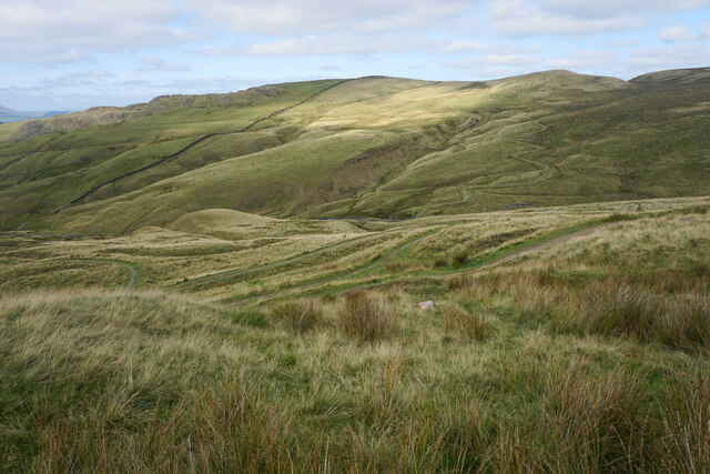
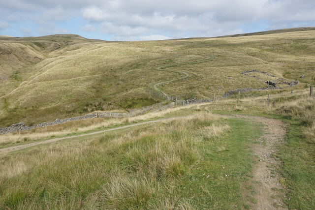
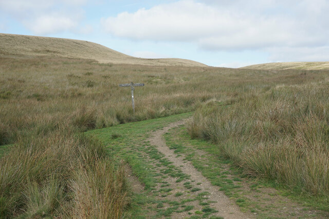
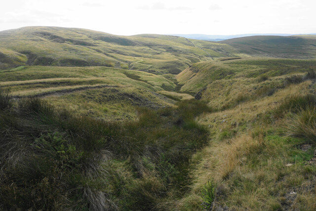
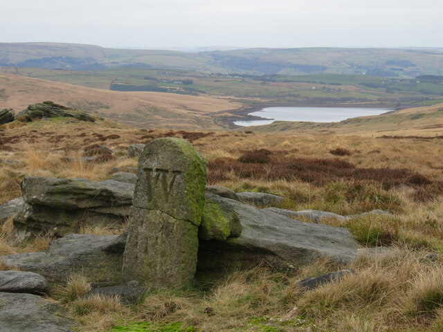
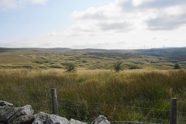
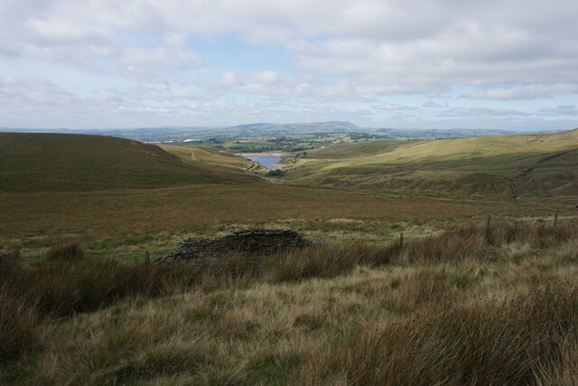
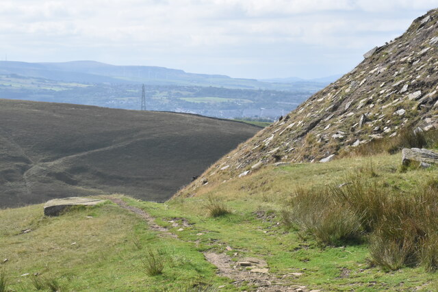
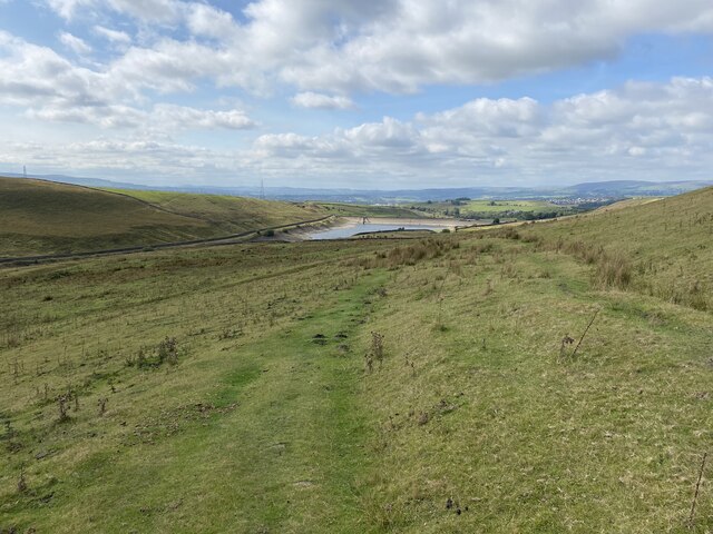
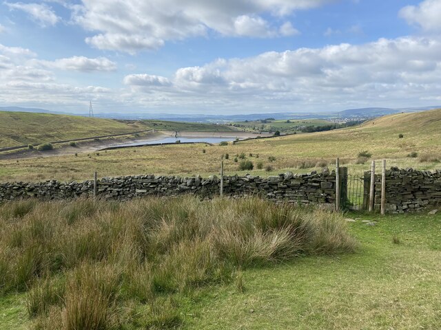
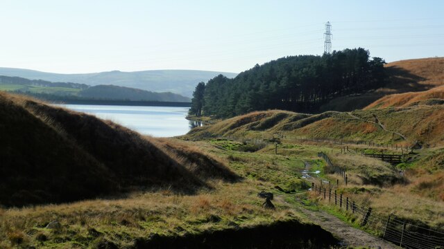
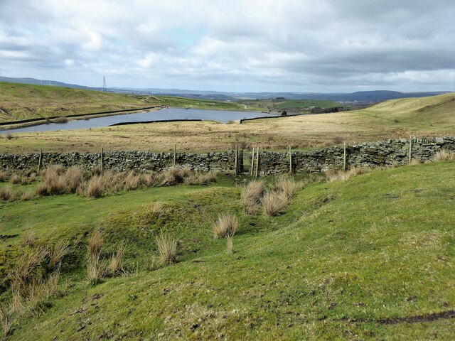
Coal Pit Pasture is a vast and picturesque area located in Lancashire, England. Known for its stunning natural beauty, it is situated on the outskirts of the town, surrounded by rolling hills, verdant downs, and expansive moorlands. The area spans over several square miles, offering visitors ample space to explore and immerse themselves in the tranquility of the countryside.
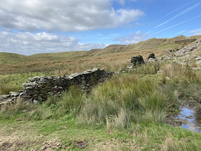
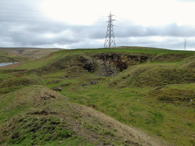
The name "Coal Pit Pasture" pays homage to the historical significance of the region. In the past, this area was home to numerous coal mines, which played a vital role in Lancashire's industrial development. Today, the remnants of these mines can still be observed, serving as a reminder of the region's rich mining heritage.
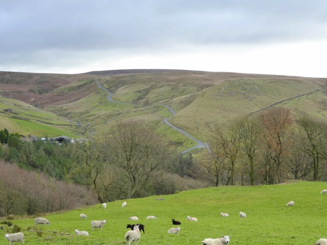
The landscape of Coal Pit Pasture comprises a diverse range of habitats, making it an ideal location for nature enthusiasts. The downs are characterized by their gently sloping hills covered in lush grasses and scattered wildflowers. Moorlands, on the other hand, are home to heather, gorse, and other hardy plants that thrive in the acidic soil.
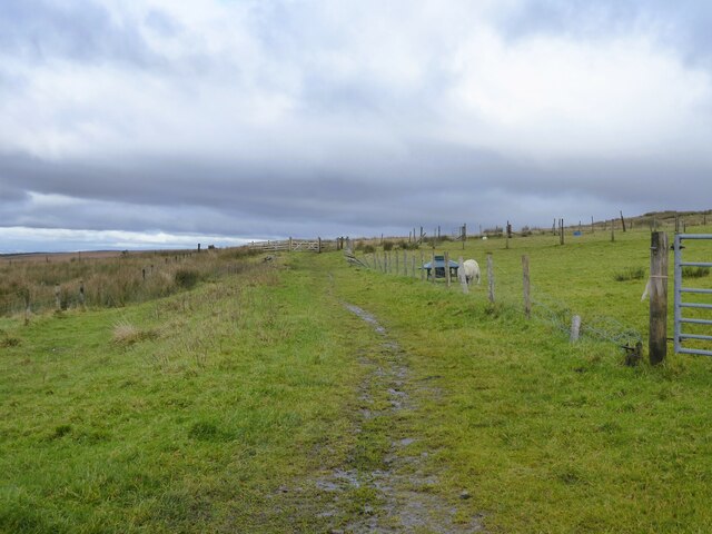
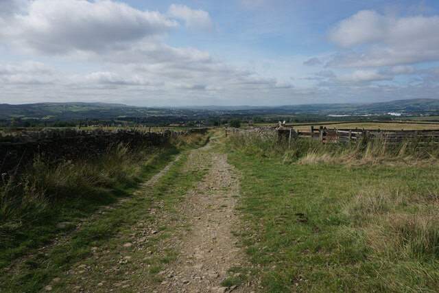
In addition to its natural beauty, Coal Pit Pasture offers various recreational activities for visitors to enjoy. Hiking and walking trails crisscross the area, allowing visitors to explore the scenic countryside at their own pace. Wildlife enthusiasts will be delighted by the abundance of bird species, including curlews, lapwings, and skylarks that call this area home.
Overall, Coal Pit Pasture in Lancashire is a captivating destination that seamlessly blends natural beauty with a rich industrial heritage. Whether it be for a leisurely stroll, birdwatching, or simply unwinding amidst the idyllic countryside, this enchanting location offers something for everyone.
If you have any feedback on the listing, please let us know in the comments section below.
Coal Pit Pasture Images
Images are sourced within 2km of 53.797642/-2.1482271 or Grid Reference SD9033. Thanks to Geograph Open Source API. All images are credited.

Coal Pit Pasture is located at Grid Ref: SD9033 (Lat: 53.797642, Lng: -2.1482271)
Administrative County: Lancashire
District: Burnley
Police Authority: Lancashire
What 3 Words
///unopposed.smoke.novels. Near Nelson, Lancashire
Nearby Locations
Related Wikis

Worsthorne-with-Hurstwood
Worsthorne-with-Hurstwood is a civil parish in the Borough of Burnley, in Lancashire, England. Situated on the eastern outskirts of Burnley, in 2011 it...
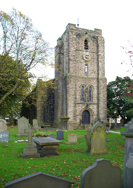
St John the Evangelist's Church, Worsthorne
St John the Evangelist's Church is in Church Square in the village of Worsthorne, Lancashire, England. It is an active Anglican parish church in the deanery...

Worsthorne
Worsthorne is a rural village on the eastern outskirts of Burnley in Lancashire, England. It is in the civil parish of Worsthorne-with-Hurstwood and the...

Briercliffe
Briercliffe (historically Briercliffe-with-Extwistle) is a civil parish in the borough of Burnley, in Lancashire, England. It is situated 3 miles (4.8...

Hurstwood
Hurstwood is a rural hamlet on the eastern outskirts of Burnley in Lancashire, England. It is in the civil parish of Worsthorne-with-Hurstwood and the...

Fother Royd Wood
Fother Royd Wood is a woodland in Lancashire, England, near Worsthorne. It covers a total area of 1.03 hectares (2.55 acres). It is owned and managed by...

Boulsworth Hill
Boulsworth Hill is a large expanse of moorland, the highest point of the South Pennines of south-eastern Lancashire, England, separating the Borough of...

Haggate
Haggate is a small village within the parish of Briercliffe, situated three miles north of Burnley, Lancashire. The village is mostly built around a small...
Nearby Amenities
Located within 500m of 53.797642,-2.1482271Have you been to Coal Pit Pasture?
Leave your review of Coal Pit Pasture below (or comments, questions and feedback).