Bull's Common Wood

Wood, Forest in Yorkshire Craven

England

Bull's Common Wood

Benchmark on stone at base of wall on south side of road west of Litton Ordnance Survey rivet benchmark levelled at 257.779m above Newlyn Datum verified 1954
Benchmark on stone at base of wall on south side of road west of Litton Credit: Roger Templeman

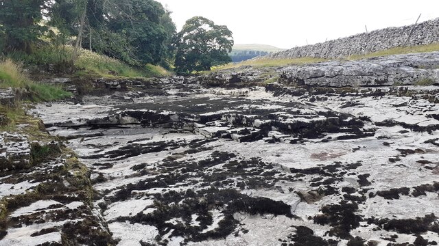
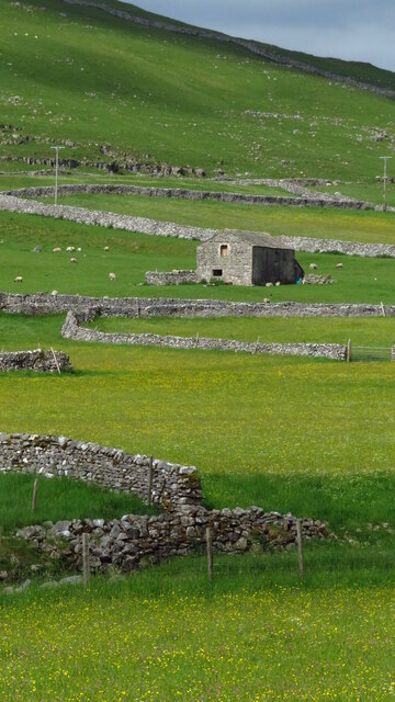
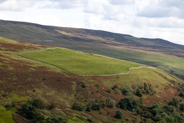
Bull's Common Wood is a picturesque forest located in Yorkshire, England. Covering an area of approximately 300 acres, it is an important natural landmark in the region. The wood is characterized by its diverse range of tree species, including oak, beech, birch, and conifers, creating a rich and vibrant ecosystem.

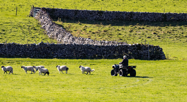
The wood is home to a variety of wildlife, making it a popular destination for nature enthusiasts and wildlife photographers. Visitors can spot an array of bird species, such as woodpeckers, owls, and various songbirds. Additionally, small mammals like rabbits, squirrels, and hedgehogs can be observed scurrying amongst the trees.

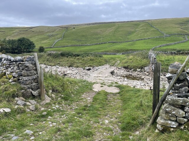
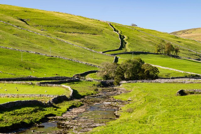
The forest offers numerous walking trails, providing visitors with the opportunity to immerse themselves in the tranquility of nature. The paths wind their way through the dense vegetation, offering glimpses of stunning wildflowers and ferns that flourish in the wood.

Bull's Common Wood also holds historical significance, with evidence of human activity dating back centuries. The remains of ancient settlements and burial mounds have been discovered within its boundaries, providing an insight into the area's rich past.

To ensure the preservation of its natural beauty, the wood is managed by a local conservation organization. They actively work to maintain the delicate balance of the ecosystem and protect the forest from any potential threats.

Overall, Bull's Common Wood is a captivating destination that offers a peaceful retreat from the hustle and bustle of everyday life. Its stunning scenery, diverse wildlife, and historical significance make it a must-visit location for nature lovers and history enthusiasts alike.

If you have any feedback on the listing, please let us know in the comments section below.

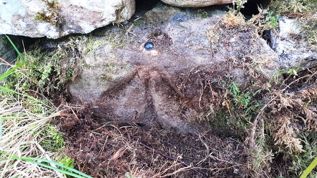
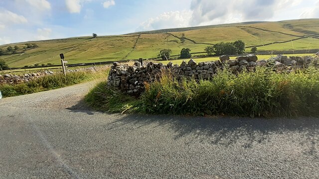
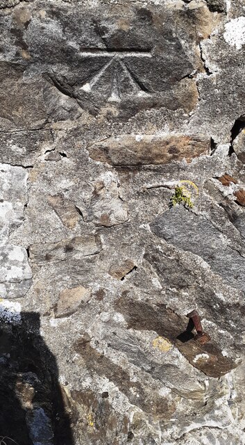
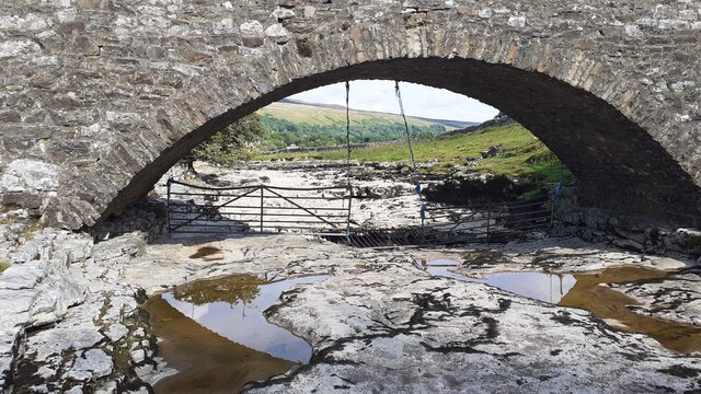
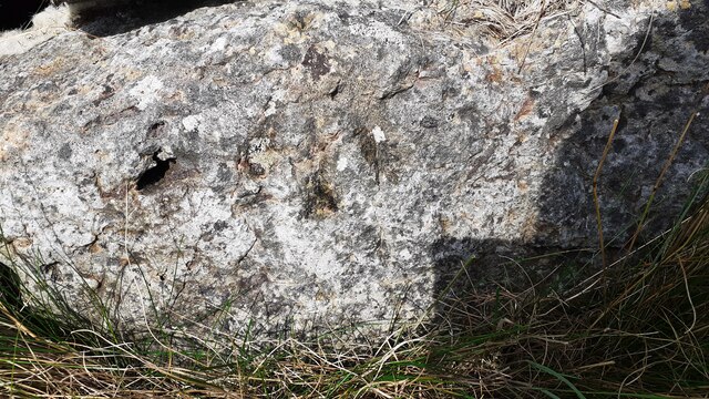
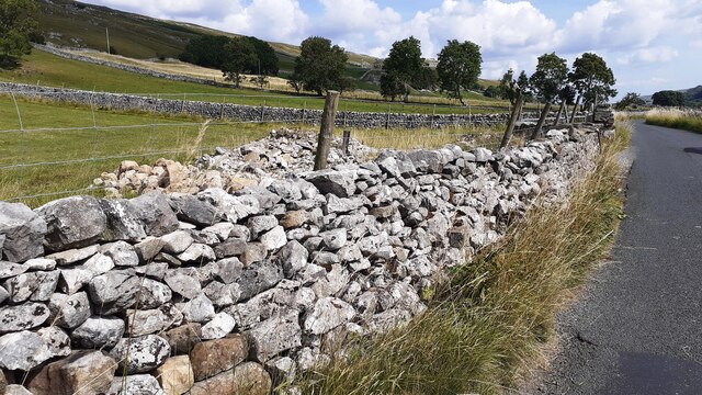
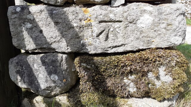
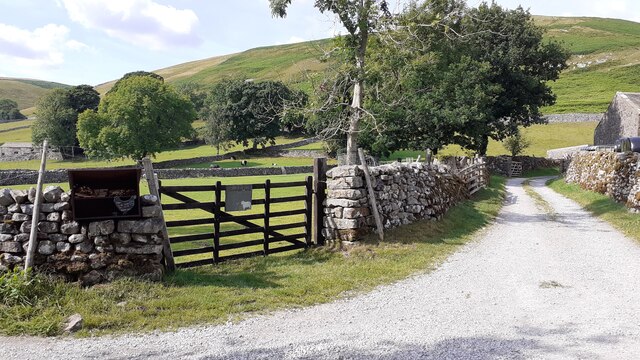
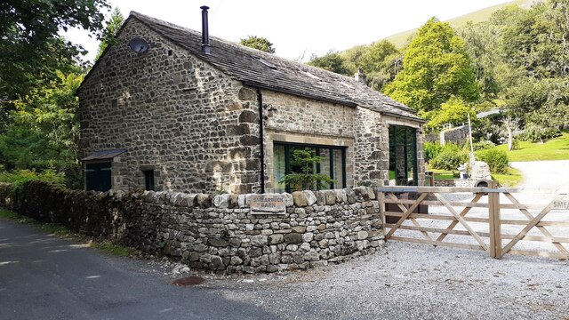
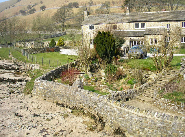
Bull's Common Wood Images

Images are sourced within 2km of 54.156069/-2.1425246 or Grid Reference SD9073. Thanks to Geograph Open Source API. All images are credited.

Benchmark on stone at base of wall on south side of road west of Litton Ordnance Survey rivet benchmark levelled at 257.779m above Newlyn Datum verified 1954
Benchmark on stone at base of wall on south side of road west of Litton
Ordnance Survey rivet benchmark levelled at 257.779m above Newlyn Datum verified 1954
Track towards bridge over River Skirfare from road to Litton There is an Ordnance Survey benchmark <a href="https://www.geograph.org.uk/photo/6926956">SD8974 : Benchmark on stone at base of wall on south side of road west of Litton</a> on the base of the wall about 3 feet from the corner
Track towards bridge over River Skirfare from road to Litton
There is an Ordnance Survey benchmark SD8974 : Benchmark on stone at base of wall on south side of road west of Litton on the base of the wall about 3 feet from the corner
Benchmark on back of west parapet of bridge taking track over River Skirfare Ordnance Survey cut mark benchmark levelled at 254.843m above Newlyn Datum verified 1954
Benchmark on back of west parapet of bridge taking track over River Skirfare
Ordnance Survey cut mark benchmark levelled at 254.843m above Newlyn Datum verified 1954
Bridge taking track over River Skirfare 1km west of Litton There is an Ordnance Survey benchmark <a href="https://www.geograph.org.uk/photo/6927562">SD8974 : Benchmark on back of west parapet of bridge taking track over River Skirfare</a> on the bridge wall on the left hand side of its arch
Bridge taking track over River Skirfare 1km west of Litton
There is an Ordnance Survey benchmark SD8974 : Benchmark on back of west parapet of bridge taking track over River Skirfare on the bridge wall on the left hand side of its arch
View west along the dry bed of River Skirfare at New Bridge
New Ings Barns, Littondale
River Skirfare Ford This ford is found on the River Skirfare.
River Skirfare Ford
This ford is found on the River Skirfare.
Potts Moor Field beneath Potts Moor.
Potts Moor
Field beneath Potts Moor.
Littondale Herding sheep in Littondale.
Littondale
Herding sheep in Littondale.
New Bridge New Bridge on the River Skirfare.
New Bridge
New Bridge on the River Skirfare.
The Queens Arms
The Queens Arms
Road towards Litton approaching Cave Barn
Benchmark on roadside rock which was part of Low Fields Barn Ordnance Survey pivot benchmark described on the Bench Mark Database at <span class="nowrap"><a title="www.bench-marks.org.uk/bm100720" rel="nofollow ugc noopener" href="http://www.bench-marks.org.uk/bm100720">Link</a><img style="margin-left:2px;" alt="External link" title="External link - shift click to open in new window" src="https://s1.geograph.org.uk/img/external.png" width="10" height="10"/></span>
Benchmark on roadside rock which was part of Low Fields Barn
Ordnance Survey pivot benchmark described on the Bench Mark Database at LinkExternal link
The remains of Low Fields Barn behind wall on NE side of Littondale road Part of the barn wall is now the roadside wall with its Ordnance Survey benchmark <a href="https://www.geograph.org.uk/photo/6926885">SD9173 : Benchmark on roadside rock which was part of Low Fields Barn</a> on a stone at the base of the wall
The remains of Low Fields Barn behind wall on NE side of Littondale road
Part of the barn wall is now the roadside wall with its Ordnance Survey benchmark SD9173 : Benchmark on roadside rock which was part of Low Fields Barn on a stone at the base of the wall
Benchmark on wall end at gateway on west side of track to Sawyersgarth Cottage Ordnance Survey cut mark benchmark described on the Bench Mark Database at <span class="nowrap"><a title="www.bench-marks.org.uk/bm100723" rel="nofollow ugc noopener" href="http://www.bench-marks.org.uk/bm100723">Link</a><img style="margin-left:2px;" alt="External link" title="External link - shift click to open in new window" src="https://s1.geograph.org.uk/img/external.png" width="10" height="10"/></span>
Benchmark on wall end at gateway on west side of track to Sawyersgarth Cottage
Ordnance Survey cut mark benchmark described on the Bench Mark Database at LinkExternal link
Gateway at junction of road to Litton and track to Sawyersgarth Cottage There is an Ordnance Survey benchmark <a href="https://www.geograph.org.uk/photo/6926937">SD9073 : Benchmark on wall end at gateway on west side of track to Sawyersgarth Cottage</a> on the near end of the wall at the far side of the gate
Gateway at junction of road to Litton and track to Sawyersgarth Cottage
There is an Ordnance Survey benchmark SD9073 : Benchmark on wall end at gateway on west side of track to Sawyersgarth Cottage on the near end of the wall at the far side of the gate
Benchmark on 'Smearbeck Barn' Ordnance Survey cut mark benchmark described on the Bench Mark Database at <span class="nowrap"><a title="www.bench-marks.org.uk/bm100721" rel="nofollow ugc noopener" href="http://www.bench-marks.org.uk/bm100721">Link</a><img style="margin-left:2px;" alt="External link" title="External link - shift click to open in new window" src="https://s1.geograph.org.uk/img/external.png" width="10" height="10"/></span>
Benchmark on 'Smearbeck Barn'
Ordnance Survey cut mark benchmark described on the Bench Mark Database at LinkExternal link
Barn conversion, Smearbeck Barn There is an Ordnance Survey benchmark <a href="https://www.geograph.org.uk/photo/6927288">SD9173 : Benchmark on 'Smearbeck Barn'</a> on the near corner, left hand face, of the house, behind the wall in this image
Barn conversion, Smearbeck Barn
There is an Ordnance Survey benchmark SD9173 : Benchmark on 'Smearbeck Barn' on the near corner, left hand face, of the house, behind the wall in this image
Show me another place!

Bull's Common Wood is located at Grid Ref: SD9073 (Lat: 54.156069, Lng: -2.1425246)

Division: West Riding

Administrative County: North Yorkshire

District: Craven

Police Authority: North Yorkshire

What 3 Words

///awakening.tramps.probing. Near Settle, North Yorkshire

Related Wikis

Scoska Wood

Scoska Wood is an IUCN Category IV – habitat or species management area, a British national nature reserve (NNR), and a Site of Special Scientific Interest...

Litton, North Yorkshire

Litton is a village and civil parish in Littondale in the Yorkshire Dales in England. It lies in the Craven District of North Yorkshire, 1.5 miles (2...

Hesleden, North Yorkshire

Hesleden is a hamlet in Littondale in the Yorkshire Dales in England. It lies within the civil parish of Halton Gill in the Craven district of North Yorkshire...

Arncliffe, North Yorkshire

Arncliffe is a small village and civil parish in Littondale, one of the Yorkshire Dales in England. Littondale is a small valley beside Upper Wharfedale...

Birks Fell

Birks Fell is a hill in the Yorkshire Dales, near to Hubberholme in North Yorkshire, England. It is classed as a Marilyn (a hill with topographic prominence...

Ewecross

The historical area of Ewecross or Ewcross is a district in the West Riding of Yorkshire, England. It included the parishes of Bentham, Clapham, Horton...

Halton Gill

Halton Gill is a hamlet and civil parish in Littondale in the Yorkshire Dales in North Yorkshire, England. It is situated 2 miles (3.2 km) up Littondale...

Fountains Fell Tarn

Fountains Fell Tarn, is an upland lake between the two peaks of Fountains Fell, in North Yorkshire, England. The tarn is close to the Pennine Way, some...

Nearby Amenities

Located within 500m of 54.156069,-2.1425246
Barrier: stile
Bicycle: no
Material: stone
Motor Vehicle: no
Stile: gate
Lat/Long: 54.1560145/-2.1360442
Barrier: stile
Material: stone
Stile: stepover
Lat/Long: 54.1567254/-2.1366124
Natural: sinkhole
Source: Bing
Lat/Long: 54.1544524/-2.1491681
Natural: sinkhole
Source: Bing
Lat/Long: 54.1524042/-2.145531
The data included in this document is from www.openstreetmap.org. The data is made available under ODbL.

Have you been to Bull's Common Wood?

Leave your review of Bull's Common Wood below (or comments, questions and feedback).