King's Chair Plantation
Wood, Forest in Northumberland
England
King's Chair Plantation
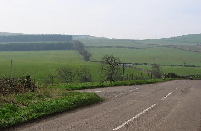
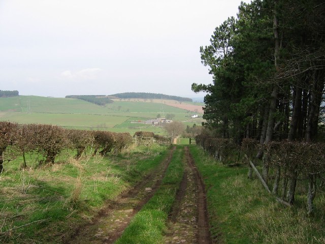
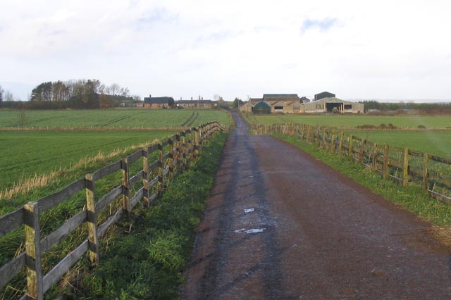
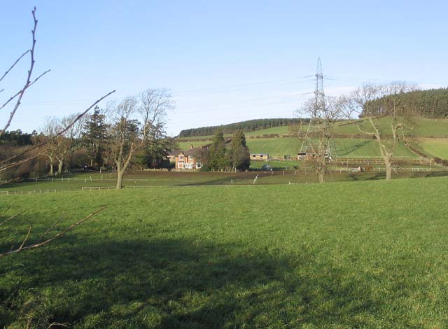
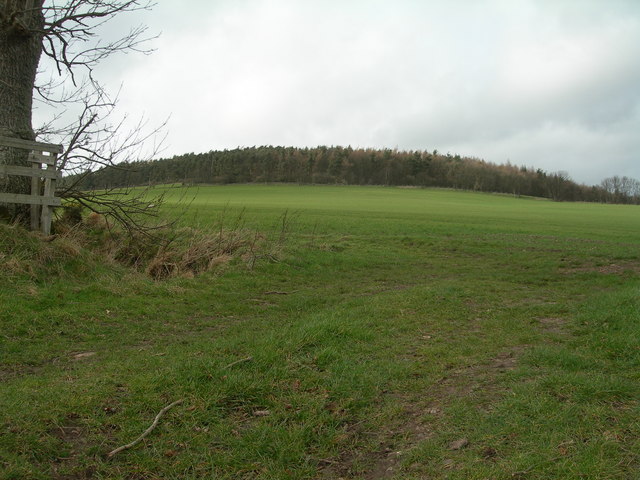
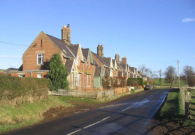
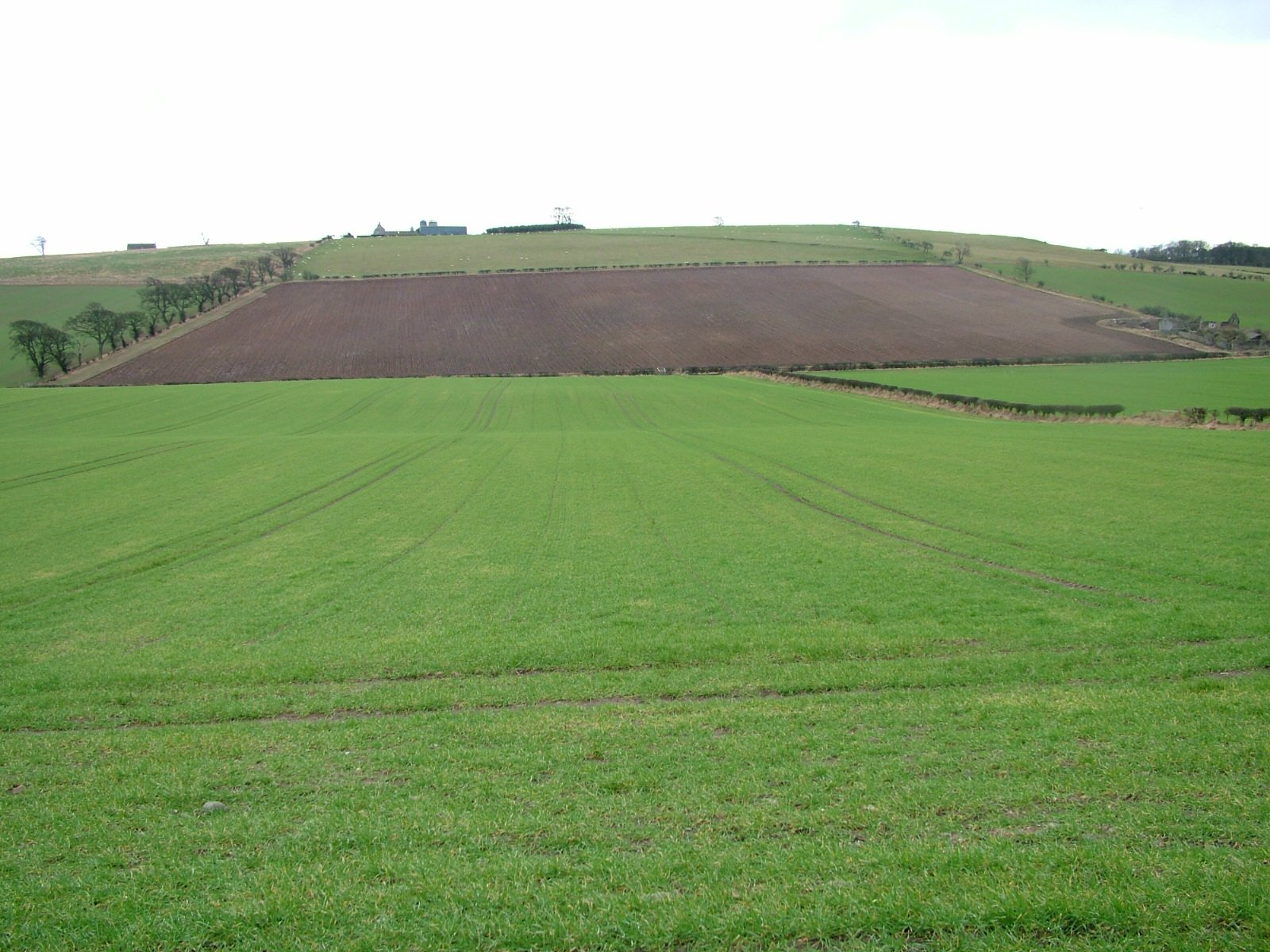
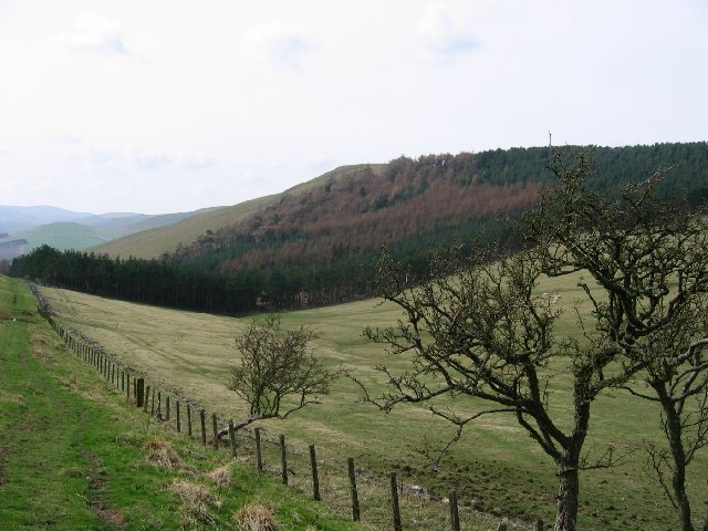
King's Chair Plantation is a picturesque woodland located in the Northumberland region of England. Spanning over a vast area, the plantation is renowned for its natural beauty and rich biodiversity. The plantation is situated within the heart of the Northumberland National Park, making it an ideal destination for nature enthusiasts and outdoor adventurers.
The woodland of King's Chair Plantation is dominated by a diverse range of tree species, including oak, beech, and birch. These majestic trees provide a dense canopy that offers shade and shelter to a variety of wildlife. The forest floor is adorned with an array of wildflowers, creating a vibrant and colorful landscape during the blooming season.
The plantation is home to a wide range of animals, including red squirrels, deer, and numerous species of birds. Birdwatchers can spot a variety of avian species, such as woodpeckers, owls, and cuckoos, amidst the trees. The tranquil atmosphere and the abundance of wildlife make King's Chair Plantation a popular spot for nature photography and birdwatching.
Visitors to the plantation can explore its numerous walking trails, which meander through the woodland, providing breathtaking views of the surrounding countryside. These trails offer an opportunity to immerse oneself in nature and enjoy the peaceful ambiance of the plantation.
Overall, King's Chair Plantation in Northumberland is a captivating woodland that offers a haven for wildlife and a haven for those seeking solace in nature's embrace. Its lush vegetation, diverse wildlife, and scenic beauty make it a must-visit destination for nature lovers and outdoor enthusiasts alike.
If you have any feedback on the listing, please let us know in the comments section below.
King's Chair Plantation Images
Images are sourced within 2km of 55.611517/-2.1478132 or Grid Reference NT9035. Thanks to Geograph Open Source API. All images are credited.


King's Chair Plantation is located at Grid Ref: NT9035 (Lat: 55.611517, Lng: -2.1478132)
Unitary Authority: Northumberland
Police Authority: Northumbria
What 3 Words
///snitch.spaces.beakers. Near Ford, Northumberland
Nearby Locations
Related Wikis
Howtel
Howtel is a village and former civil parish, now in the parish of Kilham, in Northumberland, England about 8 miles (13 km) northwest of Wooler. The name...

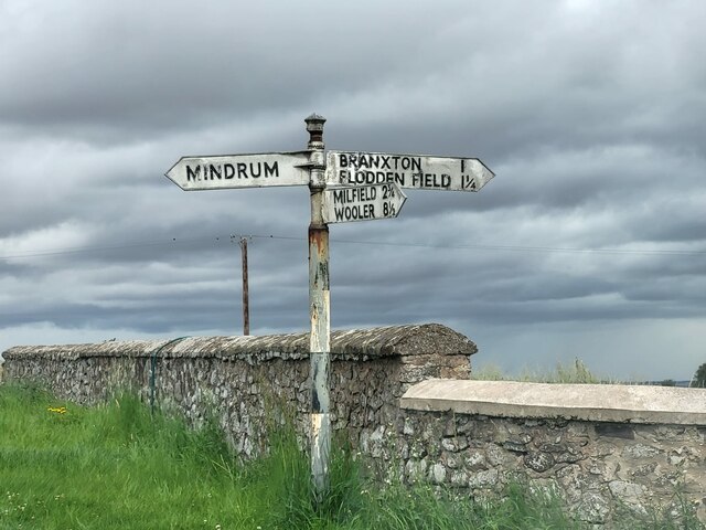
Battle of Flodden
The Battle of Flodden, Flodden Field, or occasionally Branxton or Brainston Moor was a battle that was fought on 9 September 1513 during the War of the...
Branxton, Northumberland
Branxton is a village and civil parish in northern Northumberland, England. It lies about 3 miles (5 km) from the England-Scotland border and about 4 miles...
Housedon Hill
Housedon Hill is a hill on the northwestern edge of the Cheviot Hills in Northumberland, England. It is the northernmost Marilyn in England, the summit...

Crookham, Northumberland
Crookham is a village on the River Till in Northumberland, in England. It is situated approximately 8 km (5.0 mi) to the east of Coldstream and 14 km...

Glendale, Northumberland
Glendale is the name of a valley in North Northumberland that runs from the Cheviot Hills at Kirknewton onto the Milfield Plain, formed by the River Glen...

Milfield
Milfield is a village in Northumberland, England about 3 miles (5 km) northwest of Wooler. The A697 road passes through the village. == History == Milfield...

Maelmin Henge
Maelmin Henge is modern interpretation/reconstruction of a henge monument near the village of Milfield, Northumberland in the Till Valley.It was built...
Nearby Amenities
Located within 500m of 55.611517,-2.1478132Have you been to King's Chair Plantation?
Leave your review of King's Chair Plantation below (or comments, questions and feedback).