Pythouse Park

Downs, Moorland in Wiltshire

England

Pythouse Park

Church Green, Semley
Church Green, Semley Credit: David Martin

Pythouse Park is a picturesque estate located in Wiltshire, England. Nestled amidst the captivating Downs and Moorland landscapes, the park offers a serene and idyllic setting for nature lovers and those seeking tranquility.

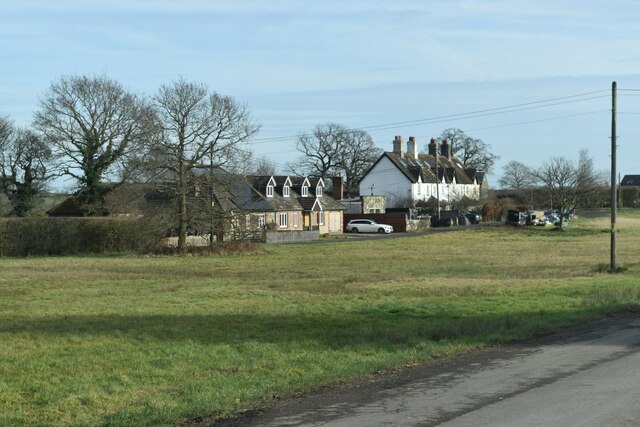
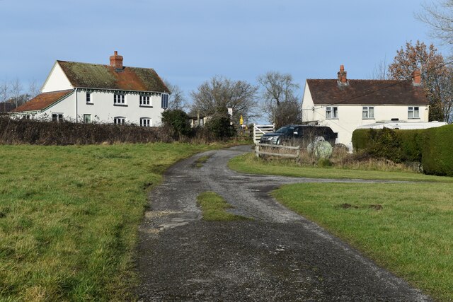
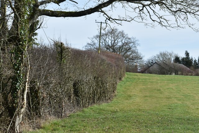
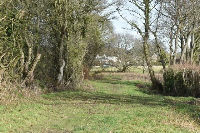
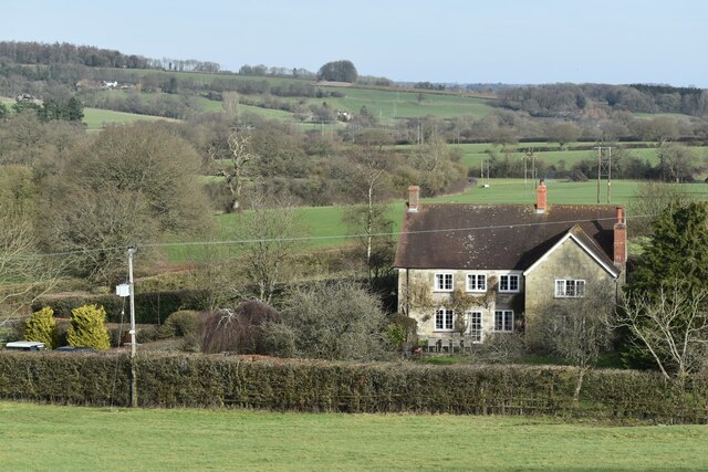
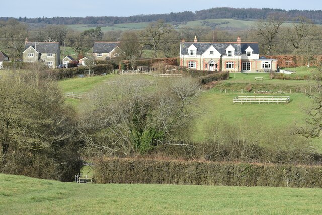
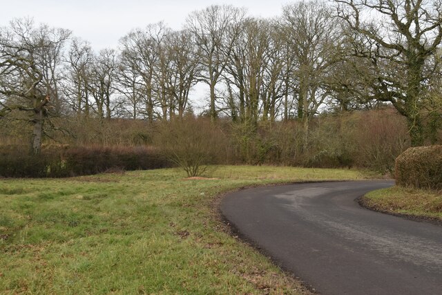
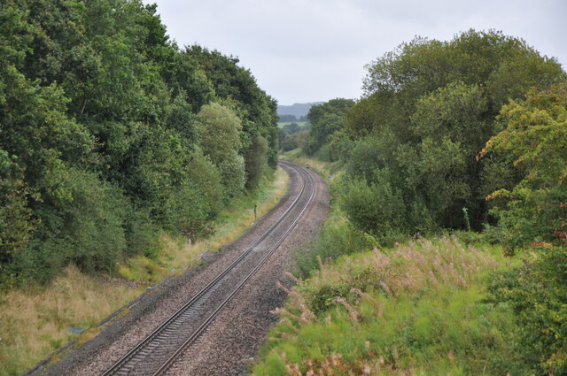
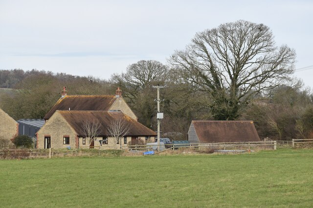
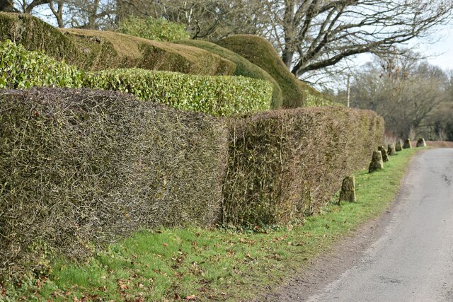
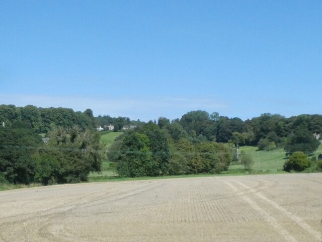
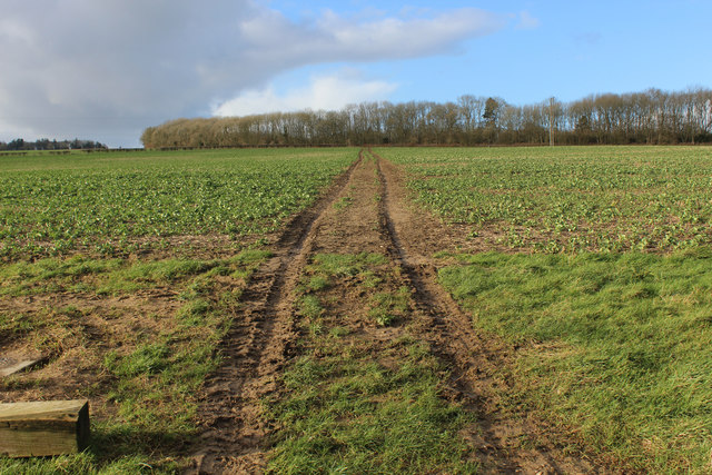
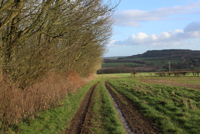
Covering an expansive area of land, Pythouse Park boasts an impressive array of natural features. The park is adorned with lush greenery, including sprawling meadows, ancient woodlands, and vibrant wildflower fields. The diverse and rich ecosystem is home to a variety of wildlife, making it an excellent spot for birdwatching and nature photography.

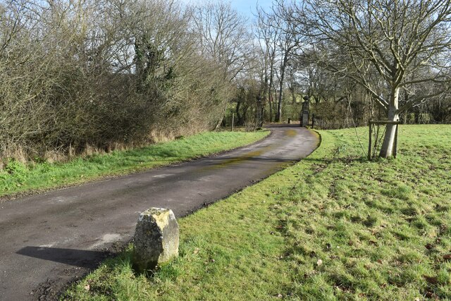
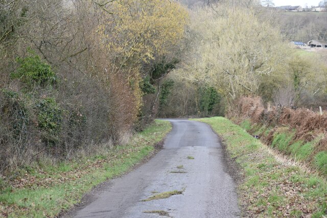
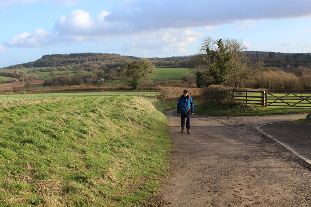
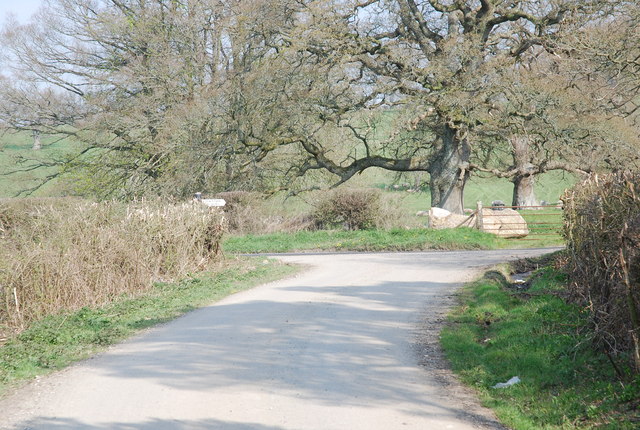
Visitors to Pythouse Park can enjoy leisurely walks along the numerous scenic trails that wind through the estate. These trails offer breathtaking views of the surrounding countryside, with rolling hills and charming valleys stretching as far as the eye can see. The park also features a tranquil lake, where visitors can relax and appreciate the peaceful ambiance.

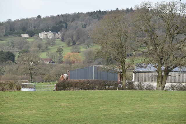
Pythouse Park is not only renowned for its natural beauty but also for its historical significance. The estate dates back centuries and has a fascinating heritage. The park's grand manor house, constructed in the elegant Georgian style, is a prominent landmark that adds to the charm and character of the estate.

In addition to its natural and historical attractions, Pythouse Park hosts various events throughout the year. These include outdoor concerts, art exhibitions, and food festivals, providing visitors with a chance to immerse themselves in the local culture and enjoy a vibrant social atmosphere.

Overall, Pythouse Park is a captivating destination that offers a harmonious blend of natural splendor, heritage, and community spirit. It is a must-visit location for anyone seeking a peaceful retreat or a chance to connect with nature.

If you have any feedback on the listing, please let us know in the comments section below.

Pythouse Park Images

Images are sourced within 2km of 51.052763/-2.1407785 or Grid Reference ST9028. Thanks to Geograph Open Source API. All images are credited.

Church Green, Semley
Track to Semley Gates Crossing The white gate of the level crossing can just be seen between the houses.
Track to Semley Gates Crossing
The white gate of the level crossing can just be seen between the houses.
Footpath and drive to The Grange, Semley The footpath turns off to the left by the post and crosses the stream by a small bridge.
Footpath and drive to The Grange, Semley
The footpath turns off to the left by the post and crosses the stream by a small bridge.
Field edge footpath near Glebe Farm
Footpath behind the school at Semley
View over West Hayes, Semley
View across fields to Kirton Farm
Bend in the road at Semley Common The common is a small strip of land on either side of the road at this point
Bend in the road at Semley Common
The common is a small strip of land on either side of the road at this point
Railway west of Tisbury A view east of the ex London & South Western Railway (LSWR) main Salisbury to Exeter railway line.  This has suffered downgrading in past years, being singled for much of its length, but hopefully it might be upgraded in the future, with rail traffic increasing.
Railway west of Tisbury
A view east of the ex London & South Western Railway (LSWR) main Salisbury to Exeter railway line. This has suffered downgrading in past years, being singled for much of its length, but hopefully it might be upgraded in the future, with rail traffic increasing.
Buildings at Broad Oak Farm With Pythouse seen on the hill in the distance.
Buildings at Broad Oak Farm
With Pythouse seen on the hill in the distance.
View towards Broad Oak Farm
Roadside topiary at Folly Oak
Lane north of Broad Oak Farm
Fields near West Hatch
Newtown: a hidden phone box This telephone box has been rather overcome by the adjacent foliage in the 8 years since it was photographed here: <a href="https://www.geograph.org.uk/photo/1201067">ST9128 : Telephone box, Newtown</a>

The ivy has also made its way into the box from the far corner, not via the door which seems to be jammed half-open.

A notice in the box, saying that BT propose to remove it as it isn't sufficiently used, is dated 2009 although the phone apparatus is still in the box.

A postbox in a pillar can be seen to the far left.
Newtown: a hidden phone box
This telephone box has been rather overcome by the adjacent foliage in the 8 years since it was photographed here: ST9128 : Telephone box, Newtown The ivy has also made its way into the box from the far corner, not via the door which seems to be jammed half-open. A notice in the box, saying that BT propose to remove it as it isn't sufficiently used, is dated 2009 although the phone apparatus is still in the box. A postbox in a pillar can be seen to the far left.
Wessex Ridgeway descending towards West Hatch The long distance footpath outside New Barn
Wessex Ridgeway descending towards West Hatch
The long distance footpath outside New Barn
Wessex Ridgeway heading towards Bottom Copse The long distance footpath on a northward track from New Barn
Wessex Ridgeway heading towards Bottom Copse
The long distance footpath on a northward track from New Barn
Wessex Ridgeway beside Bottom Copse The Wessex Ridgeway is a 136-mile long-distance footpath which runs from Marlborough in Wiltshire to Lyme Regis in Dorset. It was opened in 1994. 

Wikipedia entry: <span class="nowrap"><a title="https://en.wikipedia.org/wiki/Wessex_Ridgeway" rel="nofollow ugc noopener" href="https://en.wikipedia.org/wiki/Wessex_Ridgeway">Link</a><img style="margin-left:2px;" alt="External link" title="External link - shift click to open in new window" src="https://s1.geograph.org.uk/img/external.png" width="10" height="10"/></span>
Wessex Ridgeway beside Bottom Copse
The Wessex Ridgeway is a 136-mile long-distance footpath which runs from Marlborough in Wiltshire to Lyme Regis in Dorset. It was opened in 1994. Wikipedia entry: LinkExternal link
Show me another place!

Pythouse Park is located at Grid Ref: ST9028 (Lat: 51.052763, Lng: -2.1407785)

Unitary Authority: Wiltshire

Police Authority: Wiltshire

What 3 Words

///risk.radiates.mole. Near Tisbury, Wiltshire

Related Wikis

Pythouse

Pythouse, sometimes spelled Pyt House and pronounced pit-house, is a country house in southwest Wiltshire, in the west of England. It is about 2+1⁄2 miles...

West Tisbury, Wiltshire

West Tisbury is a civil parish in southwest Wiltshire, England. The parish takes in the southwestern quarter of the village of Tisbury and extends about...

Semley

Semley is a village and former civil parish, now in the parish of Sedgehill and Semley, in Wiltshire, England, about 3 miles (4.8 km) north-east of Shaftesbury...

Gutch Common

Gutch Common (grid reference ST896259) is a 35.1 hectare biological Site of Special Scientific Interest in Wiltshire, notified in 1951. == Sources == Natural...

Wardour, Wiltshire

Wardour is a settlement in the civil parish of Tisbury, in Wiltshire, England, about 13 miles (21 km) west of Salisbury and 4 miles (6 km) south of Hindon...

Sedgehill and Semley

Sedgehill and Semley is a civil parish in the English county of Wiltshire, about 3 miles (4.8 km) north of the town of Shaftesbury on the main A350 road...

East Knoyle War Memorial

The East Knoyle War Memorial is a monument that commemorates the lives of soldiers from East Knoyle, Wiltshire, England, who were killed in war. Unveiled...

East Knoyle

East Knoyle is a village and civil parish in Wiltshire, in the south-west of England, just west of the A350 and about 9 miles (14 km) south of Warminster...

Have you been to Pythouse Park?

Leave your review of Pythouse Park below (or comments, questions and feedback).