Lint Lands
Downs, Moorland in Northumberland
England
Lint Lands
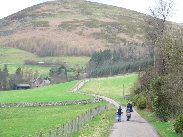
Lint Lands is a picturesque region located in Northumberland, England. Situated amidst the stunning landscape of the Northumberland Downs and Moorland, it offers visitors a unique and immersive experience of the region's natural beauty.
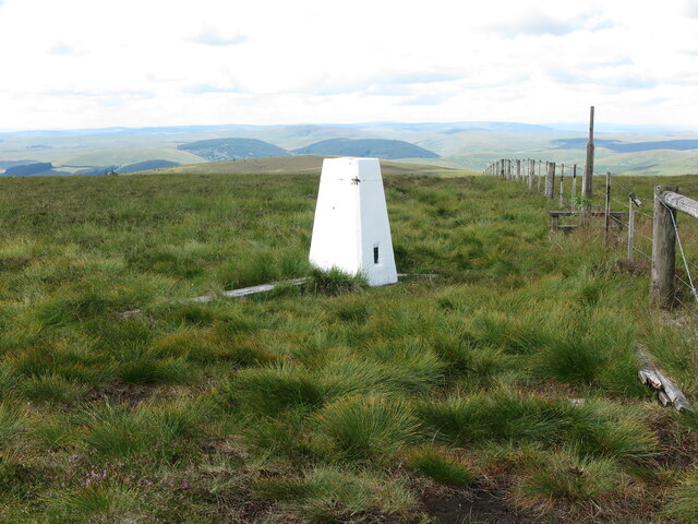
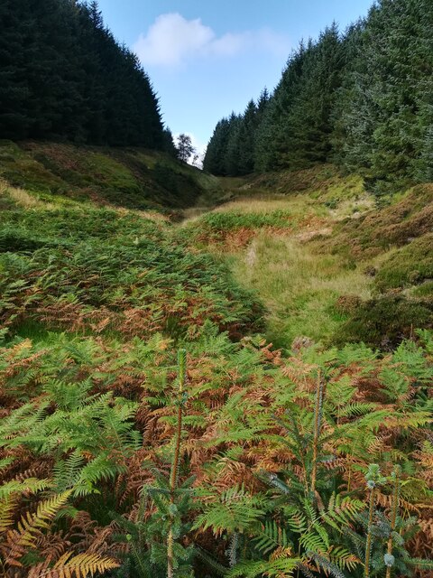
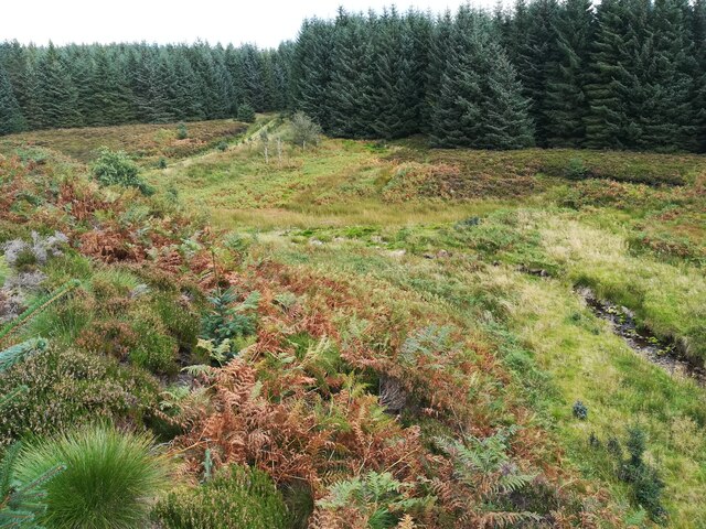
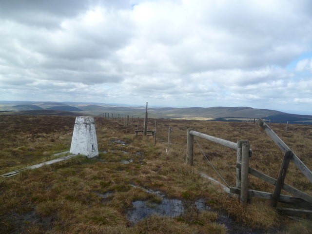
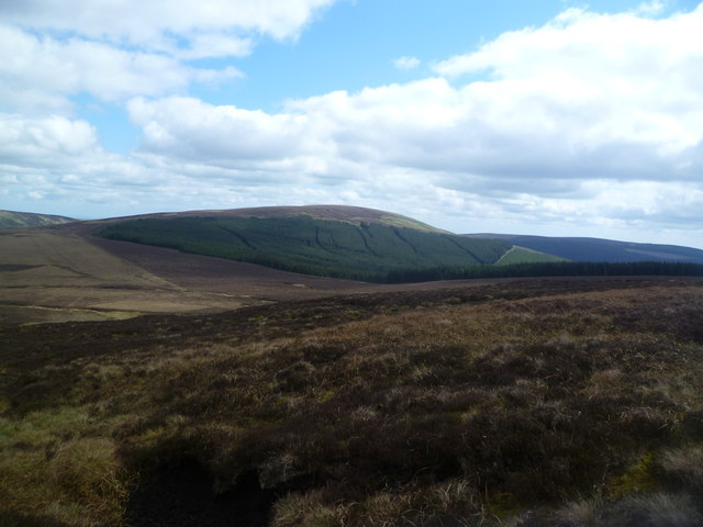
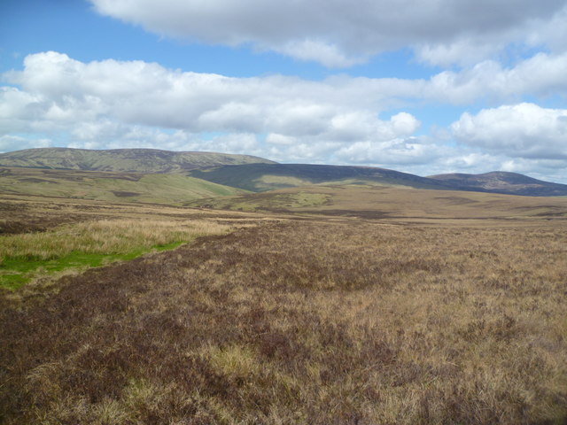
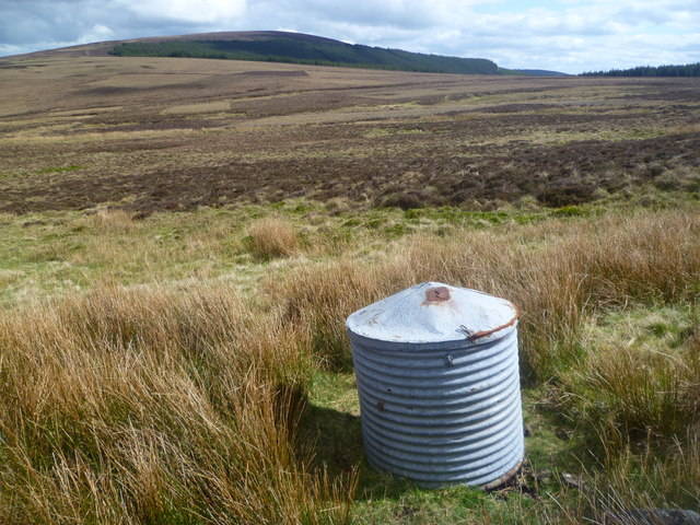
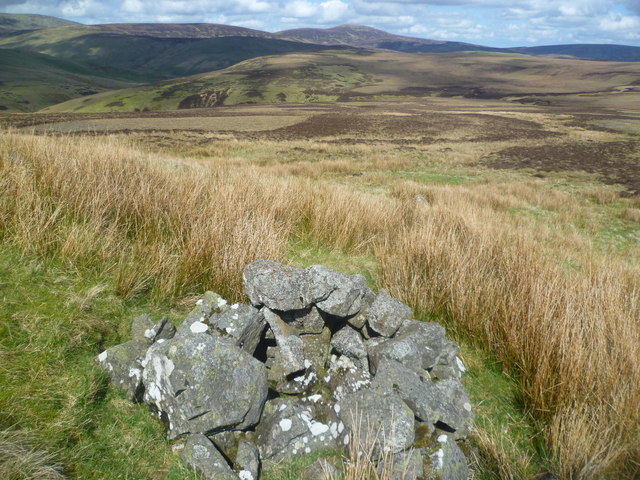
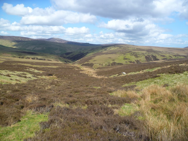
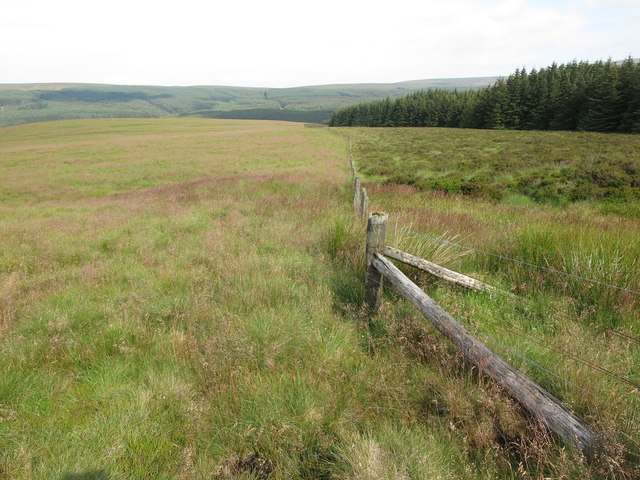
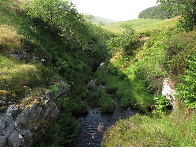
Covering an expansive area, Lint Lands is a diverse ecosystem that encompasses both rolling hills and vast moorlands. The landscape is characterized by its rugged terrain, with heather-clad hills and deep valleys carved by centuries of erosion. This creates a captivating mosaic of colors, especially during the blooming season when the hills come alive with vibrant hues of purple and green.
The region is home to a rich variety of flora and fauna, making it a haven for nature enthusiasts. Visitors can spot a range of bird species such as curlews, lapwings, and grouse, as well as mammals like hares and red squirrels. The moorland also supports a unique ecosystem of mosses, lichens, and wildflowers.
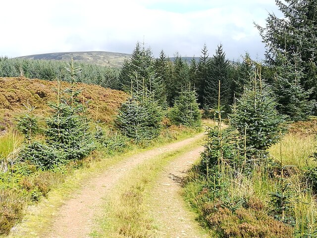
Lint Lands offers numerous opportunities for outdoor activities, including hiking, cycling, and wildlife watching. The extensive network of footpaths and trails allows visitors to explore the region at their own pace, providing breathtaking views at every turn. Additionally, the area is dotted with charming villages and historical landmarks, offering glimpses into the rich cultural heritage of Northumberland.
Whether it's an invigorating hike through the heather-clad hills or a leisurely stroll through the moorland, Lint Lands provides an unforgettable experience for nature lovers and adventurers alike. Its untamed beauty and tranquil atmosphere make it a must-visit destination for those seeking to immerse themselves in the natural wonders of Northumberland.
If you have any feedback on the listing, please let us know in the comments section below.
Lint Lands Images
Images are sourced within 2km of 55.439383/-2.1559559 or Grid Reference NT9016. Thanks to Geograph Open Source API. All images are credited.


Lint Lands is located at Grid Ref: NT9016 (Lat: 55.439383, Lng: -2.1559559)
Unitary Authority: Northumberland
Police Authority: Northumbria
What 3 Words
///palettes.statue.qualify. Near Kirknewton, Northumberland
Nearby Locations
Related Wikis

Kidland
Kidland is a former civil parish, now in the parish of Alwinton in Northumberland, England, about 2 miles (3 km) northwest of Alwinton village. In 1951...

Cheviot Hills
The Cheviot Hills (), or sometimes The Cheviots, are a range of uplands straddling the Anglo-Scottish border between Northumberland and the Scottish Borders...

The Cheviot
The Cheviot () is an extinct volcano and the highest summit in the Cheviot Hills and in the county of Northumberland. Located in the extreme north of England...

Windy Gyle
Windy Gyle is a mountain in the Cheviot Hills range, on the border between England and Scotland. Like the other hills in the area, it is rounded and grass...

Hedgehope Hill
Hedgehope Hill is a mountain in the Cheviot Hills of north Northumberland in northeast England, and categorised as a Hewitt. At a height of 714 metres...
Linhope
Linhope is a small village in Northumberland, England. It is located in the Cheviots on the River Breamish, and within Northumberland National Park. Linhope...
Barrow Burn Meadows
Barrow Burn Meadows is a Site of Special Scientific Interest (SSSI) in north Northumberland, England. The site is a species-rich hay meadow of a sort now...

Barrow Burn
Barrowburn is a hamlet in Upper Coquetdale in the county of Northumberland, England. It comprises a working farm with associated buildings and two holiday...
Nearby Amenities
Located within 500m of 55.439383,-2.1559559Have you been to Lint Lands?
Leave your review of Lint Lands below (or comments, questions and feedback).