Worsthorne Moor
Downs, Moorland in Lancashire Burnley
England
Worsthorne Moor
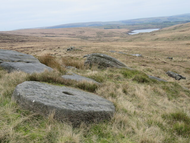
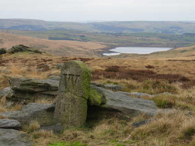
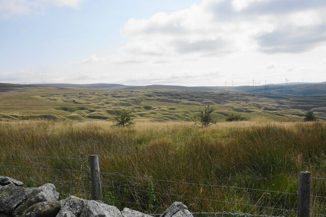
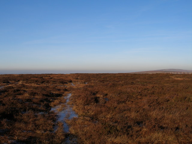
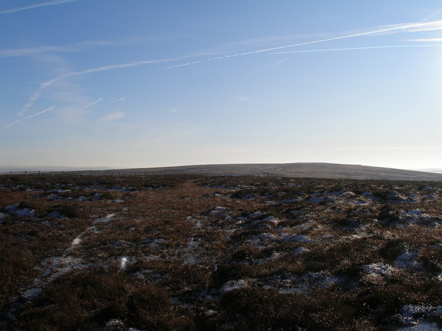
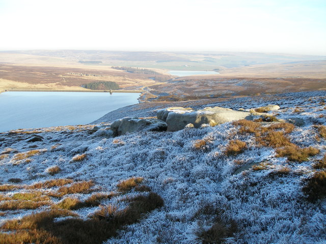
Worsthorne Moor is a beautiful expanse of open moorland located in the county of Lancashire, England. Situated in the Pennines, it covers an area of approximately 1.5 square kilometers and is part of the Forest of Burnley. The moorland is characterized by its gently rolling hills, vast expanses of heather, and captivating views of the surrounding countryside.
The area is known for its unique ecosystem, which supports a variety of wildlife and plant species. Birds such as curlews, lapwings, and golden plovers are frequently spotted in the moorland, making it a popular destination for birdwatchers. The heather-covered landscape also provides a habitat for small mammals like stoats, weasels, and hares.
Worsthorne Moor is an important site for conservation and is designated as a Site of Special Scientific Interest (SSSI). It is recognized for its geological features, including exposed gritstone outcrops and peat deposits, which provide valuable insights into the area's history and geological formation.
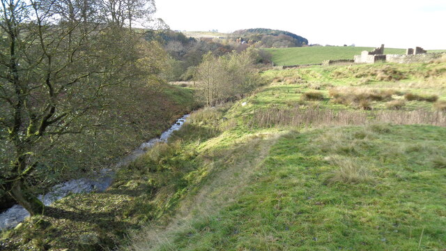
The moorland is a popular destination for outdoor enthusiasts, offering a range of activities such as walking, hiking, and nature photography. Several trails and footpaths traverse the area, allowing visitors to explore its natural beauty and experience the tranquility of the surroundings. Additionally, the moorland is intersected by a network of streams and small rivers, adding to its charm and providing opportunities for fishing and picnicking.
Overall, Worsthorne Moor is a captivating and ecologically significant landscape, offering visitors a chance to immerse themselves in the beauty of Lancashire's countryside while also contributing to its conservation efforts.
If you have any feedback on the listing, please let us know in the comments section below.
Worsthorne Moor Images
Images are sourced within 2km of 53.769229/-2.1497502 or Grid Reference SD9030. Thanks to Geograph Open Source API. All images are credited.


Worsthorne Moor is located at Grid Ref: SD9030 (Lat: 53.769229, Lng: -2.1497502)
Administrative County: Lancashire
District: Burnley
Police Authority: Lancashire
What 3 Words
///traps.navy.dolly. Near Cornholme, West Yorkshire
Nearby Locations
Related Wikis

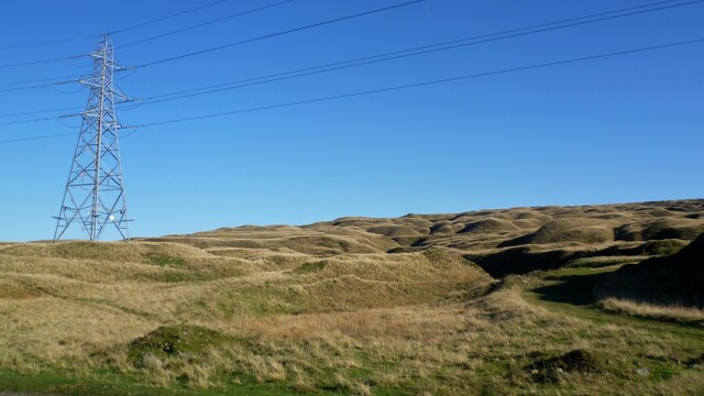
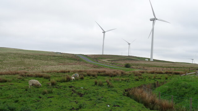
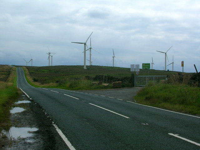
Coal Clough Wind Farm
Coal Clough Wind Farm is one of the oldest onshore wind farms in England. The wind farm, which was built for Scottish Power, produced electricity from...

Worsthorne-with-Hurstwood
Worsthorne-with-Hurstwood is a civil parish in the Borough of Burnley, in Lancashire, England. Situated on the eastern outskirts of Burnley, in 2011 it...

Hurstwood
Hurstwood is a rural hamlet on the eastern outskirts of Burnley in Lancashire, England. It is in the civil parish of Worsthorne-with-Hurstwood and the...

Fother Royd Wood
Fother Royd Wood is a woodland in Lancashire, England, near Worsthorne. It covers a total area of 1.03 hectares (2.55 acres). It is owned and managed by...

Holme Hall, Cliviger
Holme Hall (or The Holme) is a Grade II* listed manor house in Cliviger near Burnley, in Lancashire, England. The house dates back to at least the 15th...

Church of St John the Divine, Holme Chapel
The Church of St John the Divine is in Burnley Road, Holme Chapel, a village in the civil parish of Cliviger, near Burnley, Lancashire, England. It is...
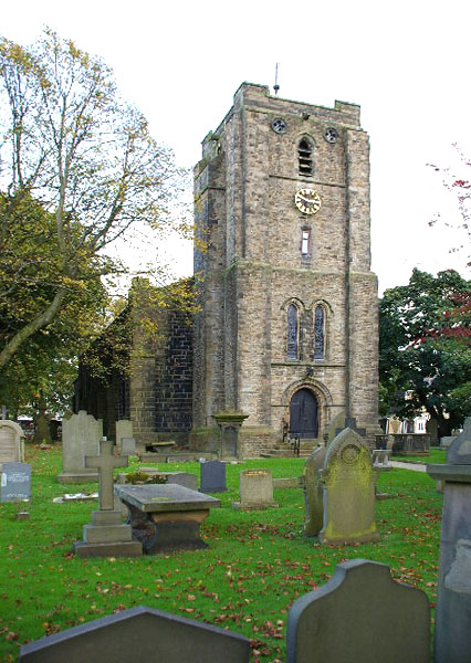
St John the Evangelist's Church, Worsthorne
St John the Evangelist's Church is in Church Square in the village of Worsthorne, Lancashire, England. It is an active Anglican parish church in the deanery...

Worsthorne
Worsthorne is a rural village on the eastern outskirts of Burnley in Lancashire, England. It is in the civil parish of Worsthorne-with-Hurstwood and the...
Nearby Amenities
Located within 500m of 53.769229,-2.1497502Have you been to Worsthorne Moor?
Leave your review of Worsthorne Moor below (or comments, questions and feedback).