Black Clough

Valley in Lancashire Burnley

England

Black Clough

Gorple Bottom View from near the remains of Gorple, the direct path to which from the reservoir had turned into a great bog in the remains of the once farmed fields
Gorple Bottom Credit: Kevin Waterhouse

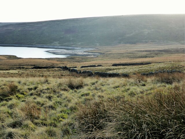
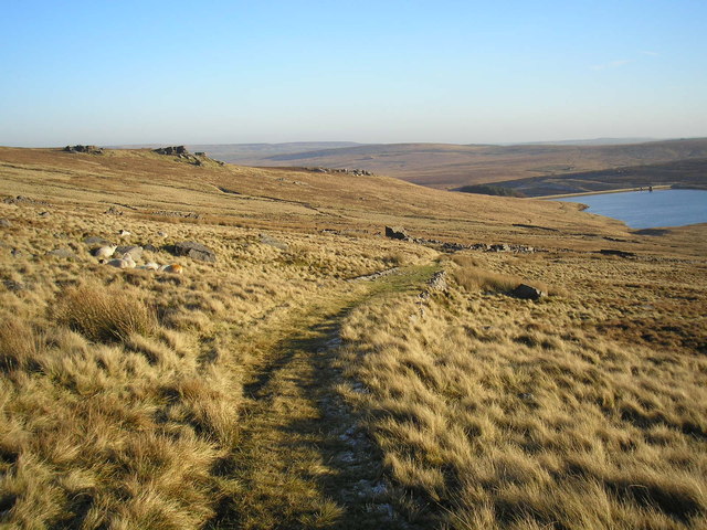
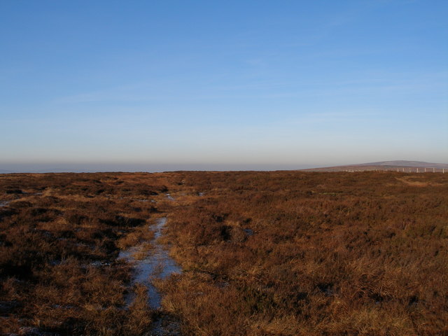
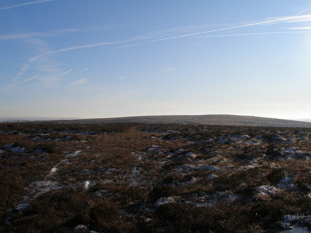
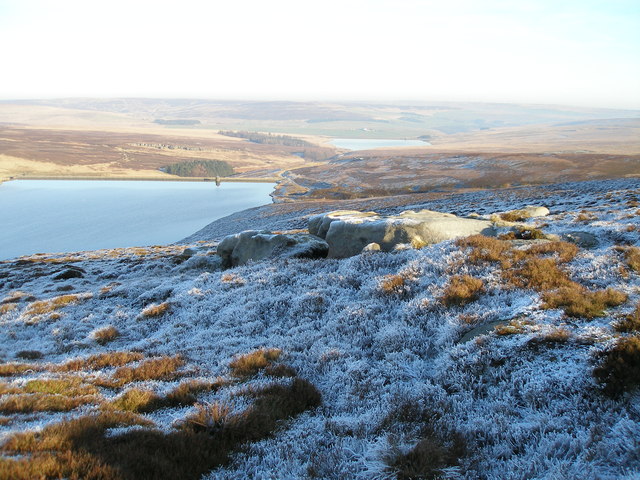
Black Clough is a picturesque valley located in the county of Lancashire, England. Situated in the northern part of the county, it forms part of the stunning Pennine Hills, which stretch across the northern regions of England. Renowned for its natural beauty and tranquil atmosphere, Black Clough attracts visitors and nature enthusiasts from far and wide.

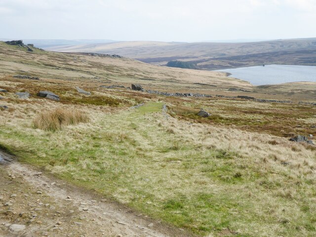
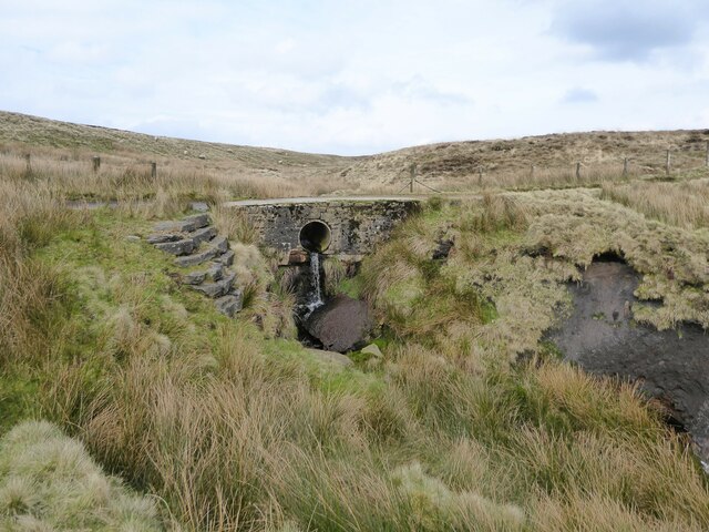
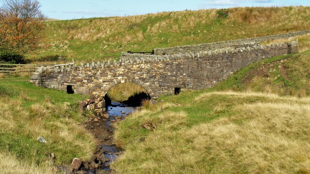
The valley is characterized by its verdant hillsides, dense woodlands, and a meandering river that flows through its heart. It offers a haven for various wildlife, including birds, insects, and small mammals, making it a popular spot for birdwatching and wildlife photography. The area is also home to a diverse range of plant species, including wildflowers, mosses, and ferns.

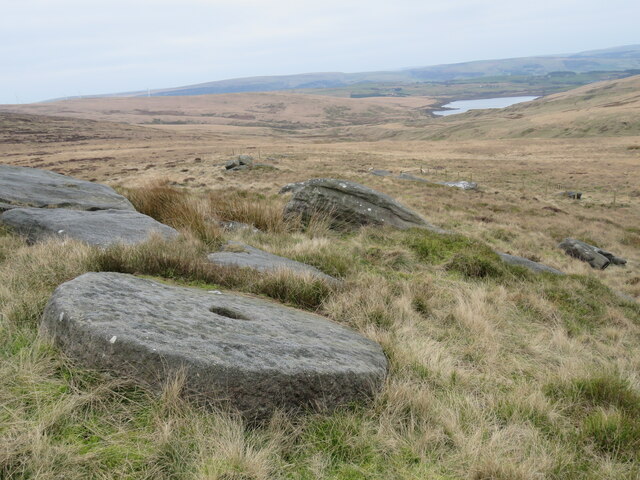
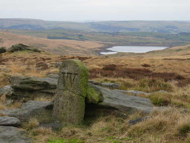
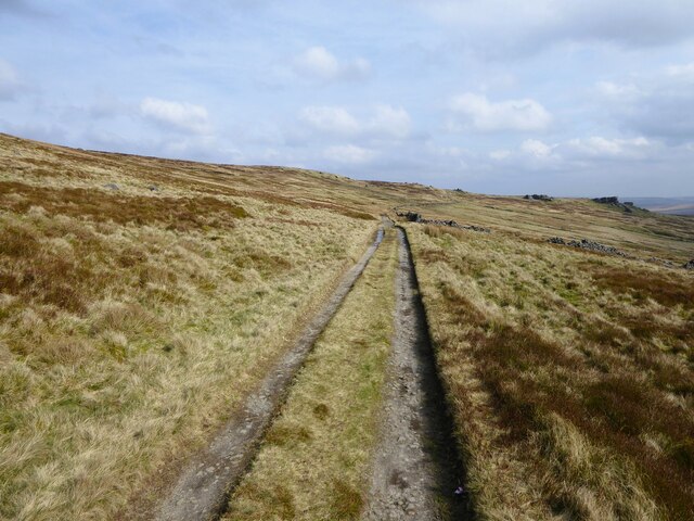
Walking and hiking trails crisscross the valley, allowing visitors to explore its stunning landscapes and enjoy breathtaking views from the hilltops. Black Clough is particularly popular among walkers, who are drawn to its challenging terrain and the opportunity to experience the tranquility of the countryside. The valley also boasts several well-maintained picnic areas, providing an ideal spot for families and friends to relax and enjoy the peaceful surroundings.

Despite its remote location, Black Clough is easily accessible by car or public transport. The nearby town of Rochdale, located approximately 5 miles away, offers amenities such as accommodation, restaurants, and shops for those looking to stay in the area.

Overall, Black Clough, Lancashire, is a hidden gem nestled in the Pennine Hills, offering a peaceful escape and a chance to immerse oneself in the beauty of nature.

If you have any feedback on the listing, please let us know in the comments section below.
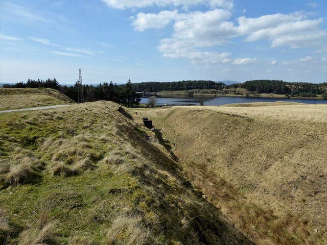
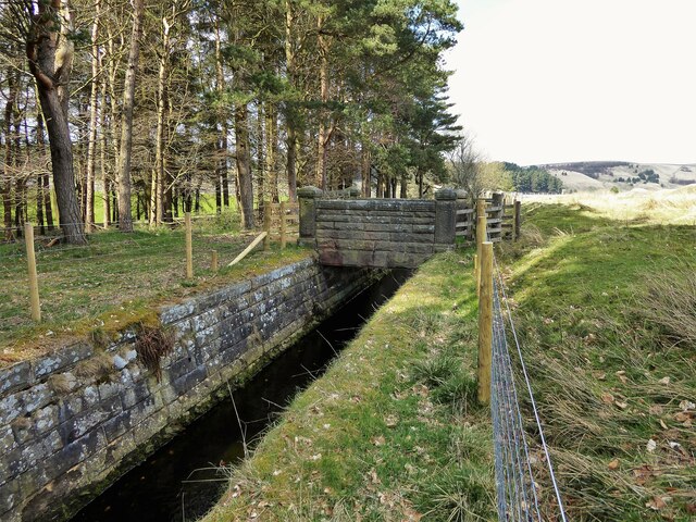
Black Clough Images

Images are sourced within 2km of 53.771412/-2.143598 or Grid Reference SD9030. Thanks to Geograph Open Source API. All images are credited.

Gorple Bottom View from near the remains of Gorple, the direct path to which from the reservoir had turned into a great bog in the remains of the once farmed fields
Gorple Bottom
View from near the remains of Gorple, the direct path to which from the reservoir had turned into a great bog in the remains of the once farmed fields
Mill stone abandoned at Hare Stones Abandoned mill stone at Hare Stones. Cant Clough Reservoir in the distance.
Mill stone abandoned at Hare Stones
Abandoned mill stone at Hare Stones. Cant Clough Reservoir in the distance.
Boundary stone above Cant Clough Reservoir Broken boundary stone above Cant Clough Reservoir (and near Hare Stones and the Pennine Bridleway). The "W" on the BS  is probably for Worsthorne Estate.
Boundary stone above Cant Clough Reservoir
Broken boundary stone above Cant Clough Reservoir (and near Hare Stones and the Pennine Bridleway). The "W" on the BS is probably for Worsthorne Estate.
Gorple Upper Reservoir from Hare Stones col
Gorple Gate Used by the Pennine Bridleway near to the ruin of Gorple
Gorple Gate
Used by the Pennine Bridleway near to the ruin of Gorple
Track on incline to Gorple This track from Gorple Gate to Gorple is on a shallow embankment with stone sides for a considerable distance. The work involved to construct this would suggest a tramway but available old OS maps do not indicate this.
Track on incline to Gorple
This track from Gorple Gate to Gorple is on a shallow embankment with stone sides for a considerable distance. The work involved to construct this would suggest a tramway but available old OS maps do not indicate this.
Embankment and culvert across Rams Clough On Gorple Road used by the Pennine Bridleway
Embankment and culvert across Rams Clough
On Gorple Road used by the Pennine Bridleway
Gorple Road On the long descent to Worsthorne. The track is used by the Pennine Bridleway.
Gorple Road
On the long descent to Worsthorne. The track is used by the Pennine Bridleway.
Limestone Hushings Landscape On the east bank of Hurstwood Reservoir
Limestone Hushings Landscape
On the east bank of Hurstwood Reservoir
Rebuilt bridge across Shedden Clough Used by the Pennine Bridleway and the Burnley Way
Rebuilt bridge across Shedden Clough
Used by the Pennine Bridleway and the Burnley Way
Work at Middle Pasture Farm Is it renovation work?
Work at Middle Pasture Farm
Is it renovation work?
Probable old quarry for Hurstwood Reservoir From old OS maps this large gulley in the landscape appeared at the same time as the construction of Hurstwood Reservoir. There are concrete platforms and pillars in the gulley closer to the reservoir.
Probable old quarry for Hurstwood Reservoir
From old OS maps this large gulley in the landscape appeared at the same time as the construction of Hurstwood Reservoir. There are concrete platforms and pillars in the gulley closer to the reservoir.
Footbridge over reservoir feed At Hurstwood Reservoir
Footbridge over reservoir feed
At Hurstwood Reservoir
Shedden Clough Limestone Hushings The landscape created by washing away surface layers to recover glacial deposits of limestone. The Pennine Bridleway is in the centre of the view
Shedden Clough Limestone Hushings
The landscape created by washing away surface layers to recover glacial deposits of limestone. The Pennine Bridleway is in the centre of the view
The track to Gorple The farm track from Gorple road down to the ruins of Gorple Farm. Gorple Reservoir is also visible.
The track to Gorple
The farm track from Gorple road down to the ruins of Gorple Farm. Gorple Reservoir is also visible.
Black Hameldon - northern summit!
Black Hameldon towards Hoof Stones Height
Grey Stones Gorple Upper Reservoir to the left and the Lower Reservoir in the background
Grey Stones
Gorple Upper Reservoir to the left and the Lower Reservoir in the background
Show me another place!

Black Clough is located at Grid Ref: SD9030 (Lat: 53.771412, Lng: -2.143598)

Administrative County: Lancashire

District: Burnley

Police Authority: Lancashire

What 3 Words

///milkman.ranches.uncle. Near Cornholme, West Yorkshire

Related Wikis

Coal Clough Wind Farm

Coal Clough Wind Farm is one of the oldest onshore wind farms in England. The wind farm, which was built for ScottishPower, produced electricity from originally...

Worsthorne-with-Hurstwood

Worsthorne-with-Hurstwood is a civil parish in the Borough of Burnley, in Lancashire, England. Situated on the eastern outskirts of Burnley, in 2011 it...

Hurstwood

Hurstwood is a rural hamlet on the eastern outskirts of Burnley in Lancashire, England. It is in the civil parish of Worsthorne-with-Hurstwood and the...

Fother Royd Wood

Fother Royd Wood is a woodland in Lancashire, England, near Worsthorne. It covers a total area of 1.03 hectares (2.55 acres). It is owned and managed by...

Nearby Amenities

Located within 500m of 53.771412,-2.143598
Worsthorne Moor
Place: locality
Lat/Long: 53.7690722/-2.1491616
The data included in this document is from www.openstreetmap.org. The data is made available under ODbL.

Have you been to Black Clough?

Leave your review of Black Clough below (or comments, questions and feedback).