Hindlip Park
Downs, Moorland in Worcestershire Wychavon
England
Hindlip Park

Hindlip Park is a stunning natural landscape located in Worcestershire, England. Covering a vast area of downs and moorland, this picturesque park offers visitors a unique and diverse experience. With its lush greenery, rolling hills, and breathtaking views, Hindlip Park is a haven for nature enthusiasts and outdoor lovers.
The park is home to a wide variety of flora and fauna, including rare species of plants and animals. The downs are characterized by their open grassy areas, which are perfect for leisurely walks or picnics. Visitors can enjoy the peaceful atmosphere while taking in panoramic views of the surrounding countryside.
The moorland in Hindlip Park offers a different experience, with its rugged terrain and heather-covered hills. This area is ideal for more adventurous activities, such as hiking and mountain biking. The moorland is also home to a rich array of wildlife, including birds of prey and small mammals.
Hindlip Park is well-equipped with facilities to cater to visitors' needs. There are designated walking trails and cycling routes, ensuring that visitors can explore the park safely. Additionally, there are picnic areas and benches strategically placed throughout the park, allowing visitors to rest and take in the scenery.
The park is easily accessible, with ample parking available. It is a popular destination for both locals and tourists, who come to enjoy the tranquility and natural beauty of Hindlip Park. Whether you're seeking a peaceful escape or an active adventure, Hindlip Park offers something for everyone.
If you have any feedback on the listing, please let us know in the comments section below.
Hindlip Park Images
Images are sourced within 2km of 52.227237/-2.1804412 or Grid Reference SO8758. Thanks to Geograph Open Source API. All images are credited.


Hindlip Park is located at Grid Ref: SO8758 (Lat: 52.227237, Lng: -2.1804412)
Administrative County: Worcestershire
District: Wychavon
Police Authority: West Mercia
What 3 Words
///earth.grew.alien. Near Fernhill Heath, Worcestershire
Nearby Locations
Related Wikis
Hindlip
Hindlip or Hinlip is a village and civil parish 3 miles (4.8 km) north east of Worcester, in the Wychavon district, in the county of Worcestershire, England...
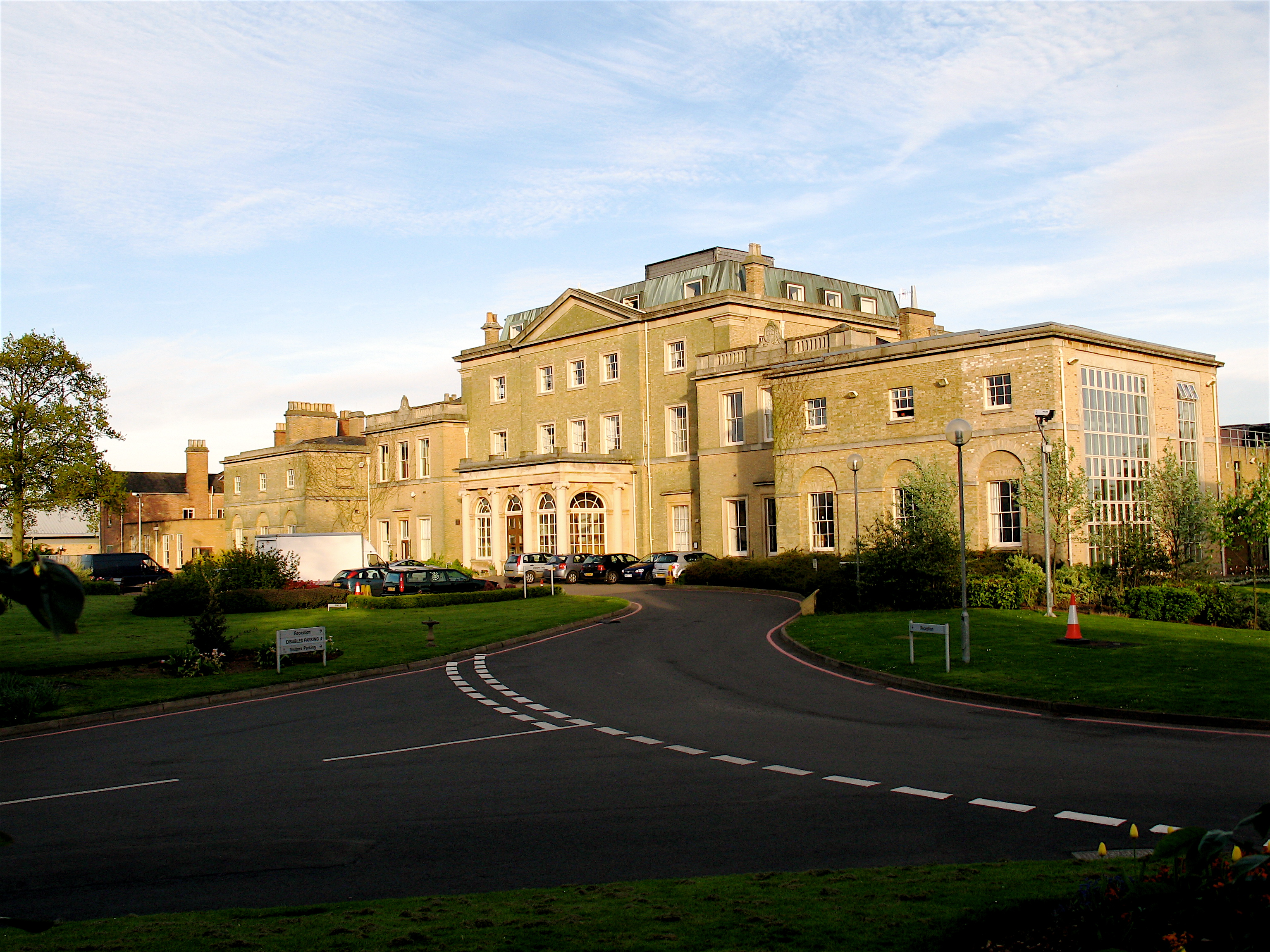
Hindlip Hall
Hindlip Hall is a stately home in Hindlip, Worcestershire, England. The first major hall was built before 1575, and it played a significant role in both...
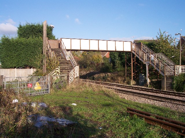
Fernhill Heath railway station
Fernhill Heath railway station was an intermediate railway station on the Oxford, Worcester and Wolverhampton Railway between Worcester (Tunnel Junction...
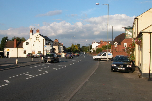
Fernhill Heath
Fernhill Heath is a village in Worcestershire, England. It is in the civil parish of North Claines in Wychavon district. Fernhill Heath is located on the...
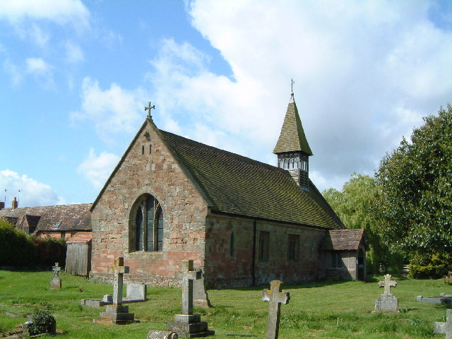
Church of St Michael and All Angels, Martin Hussingtree
The Church of St Michael and All Angels is a Grade I listed church in Martin Hussingtree, Worcestershire.The west wall is probably of 12th century origin...
Martin Hussingtree
Martin Hussingtree is a small village situated between Droitwich Spa and Worcester in the county of Worcestershire, England. It is north of another village...

Blackpole Halt railway station
Blackpole Halt railway station was a station to the north of Worcester, Worcestershire, England. The station was opened during World War I to serve a nearby...
Sixways Stadium
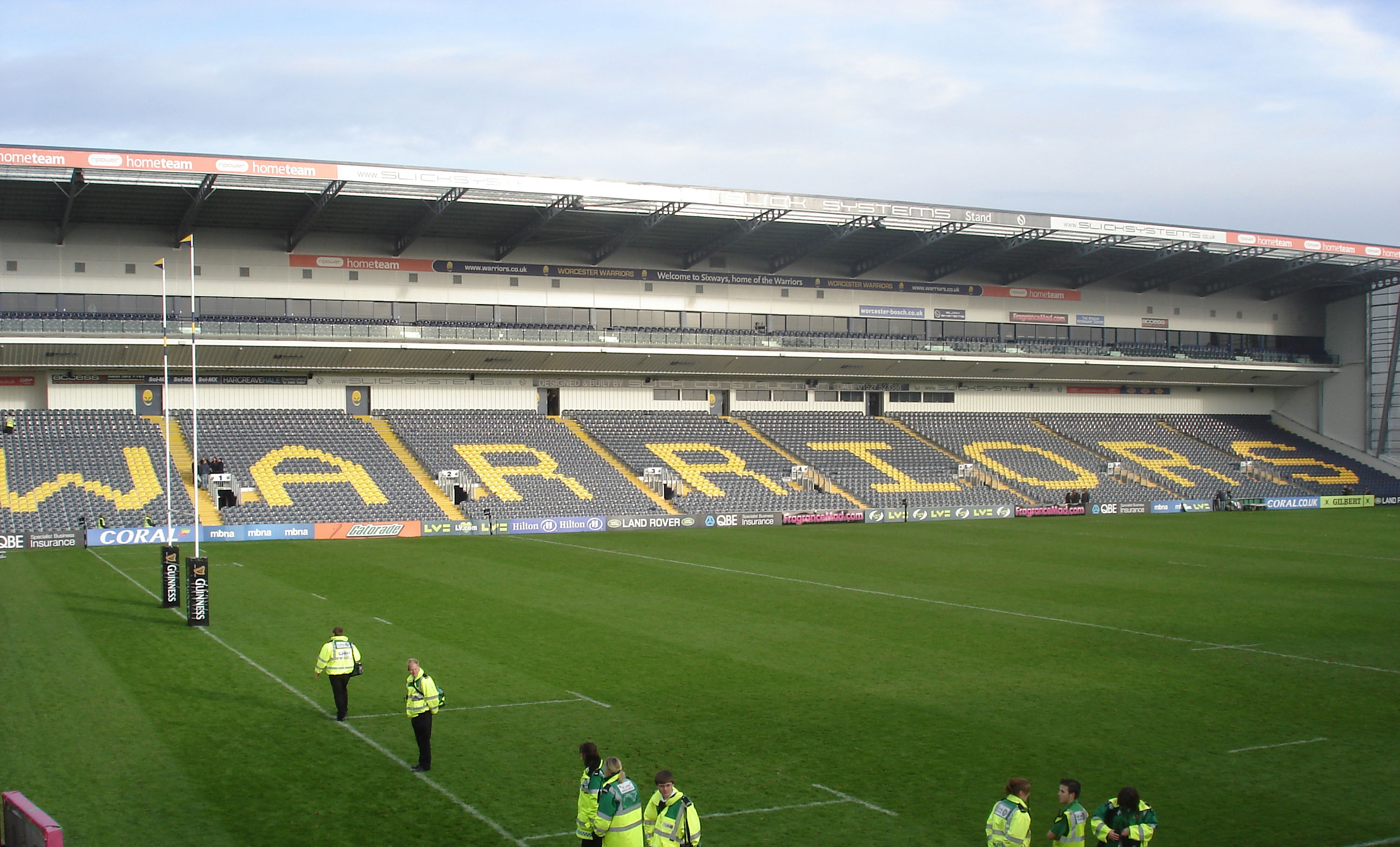
Sixways Stadium is a stadium in Worcester, England. It is currently used for rugby union and association football matches and is the home stadium of Premier...
Nearby Amenities
Located within 500m of 52.227237,-2.1804412Have you been to Hindlip Park?
Leave your review of Hindlip Park below (or comments, questions and feedback).