Leary's Clump
Wood, Forest in Worcestershire Wychavon
England
Leary's Clump

Leary's Clump is a picturesque woodland located in Worcestershire, England. Situated within the larger area known as the Forest of Worcestershire, it is a popular destination for nature enthusiasts and outdoor adventurers alike.
Covering an area of approximately 50 acres, Leary's Clump is characterized by its dense vegetation and rich biodiversity. The woodland is primarily composed of native tree species such as oak, beech, and ash, creating a diverse and vibrant ecosystem. The forest floor is adorned with a wide variety of wildflowers, adding color and beauty to the landscape.
The clump is intersected by several walking trails, offering visitors the opportunity to explore the area and immerse themselves in nature. These pathways wind through the forest, leading to hidden gems such as tranquil streams, small ponds, and enchanting clearings. The peaceful atmosphere of Leary's Clump makes it a perfect spot for hiking, birdwatching, or simply enjoying a peaceful picnic amidst the trees.
In addition to its natural beauty, Leary's Clump holds historical significance in the local area. It is believed to have been part of a larger ancient woodland that has existed for centuries, and remnants of this long history can still be seen within the clump.
Overall, Leary's Clump is a breathtaking woodland retreat that offers visitors a chance to escape the hustle and bustle of everyday life and connect with nature. Its combination of natural beauty, diverse wildlife, and historical importance make it a must-visit destination for anyone seeking tranquility and an appreciation for the great outdoors.
If you have any feedback on the listing, please let us know in the comments section below.
Leary's Clump Images
Images are sourced within 2km of 52.223886/-2.1788319 or Grid Reference SO8758. Thanks to Geograph Open Source API. All images are credited.


Leary's Clump is located at Grid Ref: SO8758 (Lat: 52.223886, Lng: -2.1788319)
Administrative County: Worcestershire
District: Wychavon
Police Authority: West Mercia
What 3 Words
///limbs.smoke.longer. Near Fernhill Heath, Worcestershire
Nearby Locations
Related Wikis
Hindlip
Hindlip or Hinlip is a village and civil parish 3 miles (4.8 km) north east of Worcester, in the Wychavon district, in the county of Worcestershire, England...
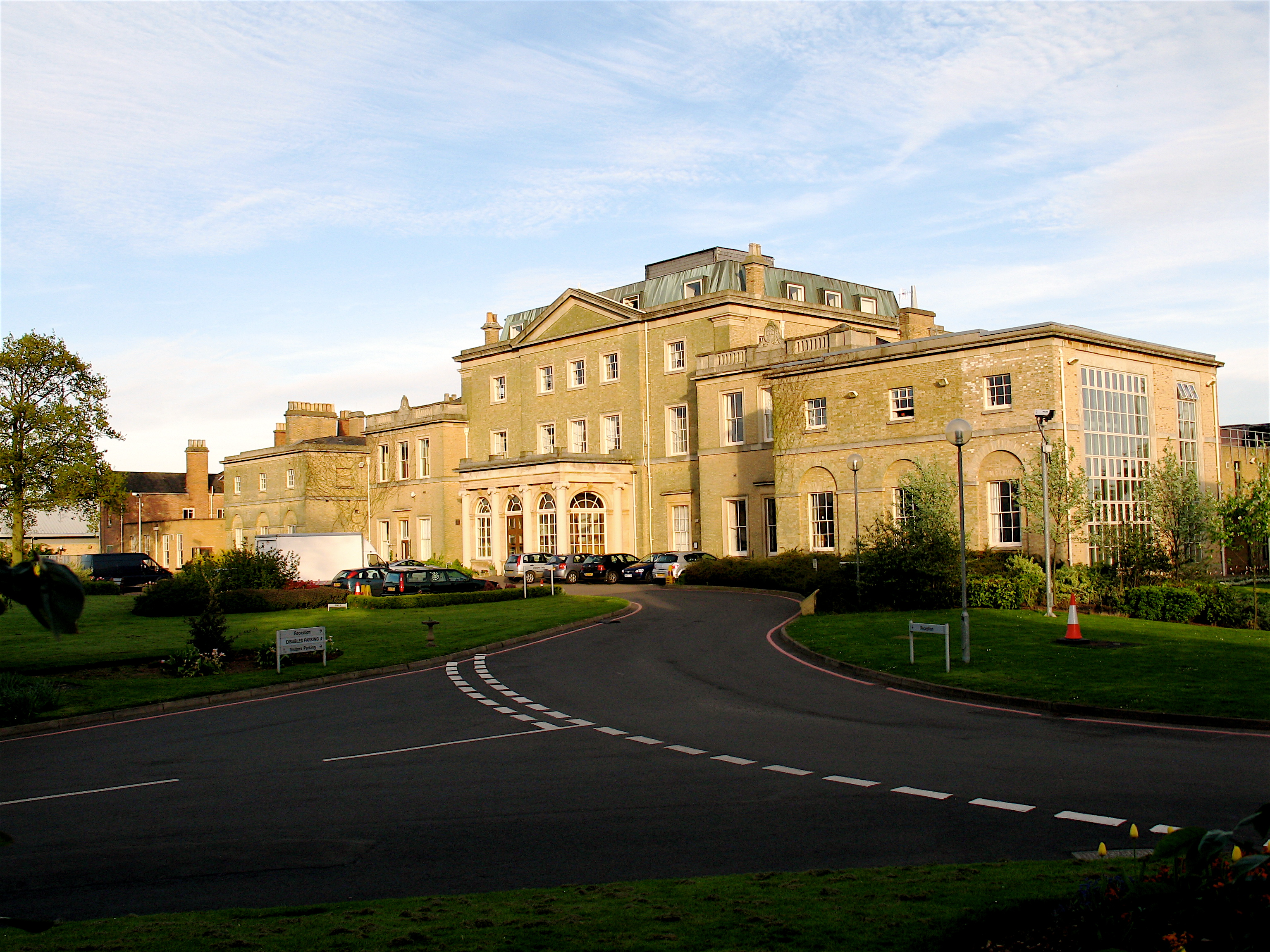
Hindlip Hall
Hindlip Hall is a stately home in Hindlip, Worcestershire, England. The first major hall was built before 1575, and it played a significant role in both...
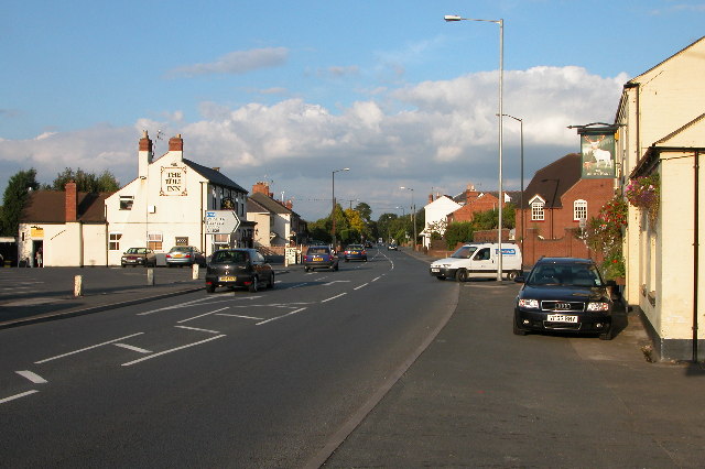
Fernhill Heath
Fernhill Heath is a village in Worcestershire, England. It is in the civil parish of North Claines in Wychavon district. Fernhill Heath is located on the...
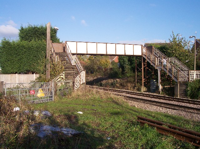
Fernhill Heath railway station
Fernhill Heath railway station was an intermediate railway station on the Oxford, Worcester and Wolverhampton Railway between Worcester (Tunnel Junction...
Nearby Amenities
Located within 500m of 52.223886,-2.1788319Have you been to Leary's Clump?
Leave your review of Leary's Clump below (or comments, questions and feedback).