West Blackdene Pasture
Downs, Moorland in Durham
England
West Blackdene Pasture

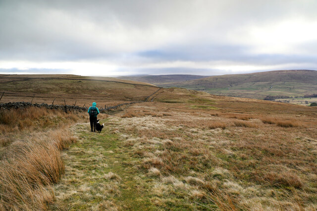
West Blackdene Pasture is a large expanse of downs and moorland located in Durham, England. Covering an area of approximately 500 acres, it is a significant natural landscape in the region. The pasture is situated on the western slopes of the Durham Dales, offering panoramic views of the surrounding countryside.
The terrain of West Blackdene Pasture is characterized by undulating hills, rocky outcrops, and patches of heather moorland. The area is home to a diverse range of plant and animal species, making it an important habitat for wildlife conservation. Visitors to the pasture can expect to see a variety of bird species, including buzzards, kestrels, and curlews.
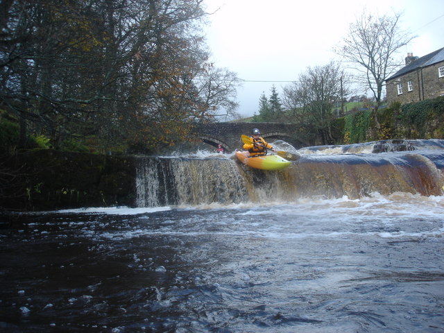
The pasture is also intersected by several streams and small rivers, which add to its natural beauty. These waterways provide a source of freshwater for the local ecosystem, supporting the growth of aquatic plants and providing a habitat for fish and amphibians.
For outdoor enthusiasts, West Blackdene Pasture offers ample opportunities for activities such as hiking, nature walks, and birdwatching. There are several well-marked trails that crisscross the area, allowing visitors to explore its different ecosystems and enjoy the breathtaking vistas.
Access to West Blackdene Pasture is relatively easy, with a nearby car park providing convenient parking for visitors. Local authorities have implemented measures to protect the area's natural beauty and wildlife, including designated conservation zones and restrictions on certain activities.
Overall, West Blackdene Pasture is a picturesque and ecologically significant landscape, offering visitors a chance to immerse themselves in the natural wonders of Durham's countryside.
If you have any feedback on the listing, please let us know in the comments section below.
West Blackdene Pasture Images
Images are sourced within 2km of 54.757914/-2.2020196 or Grid Reference NY8740. Thanks to Geograph Open Source API. All images are credited.


West Blackdene Pasture is located at Grid Ref: NY8740 (Lat: 54.757914, Lng: -2.2020196)
Unitary Authority: County Durham
Police Authority: Durham
What 3 Words
///dive.pesky.graceful. Near Stanhope, Co. Durham
Nearby Locations
Related Wikis
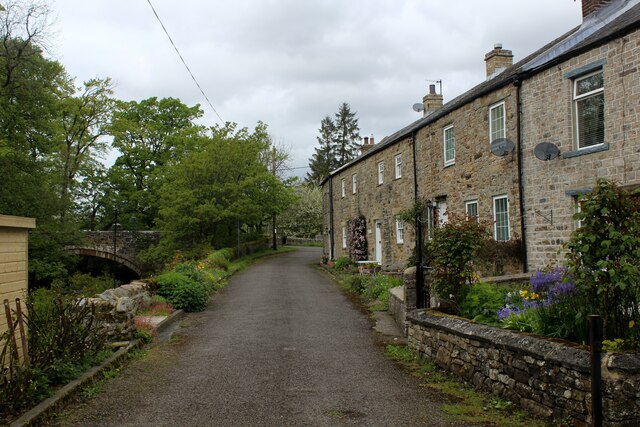
West Blackdene
West Blackdene is a village in the civil parish of Stanhope, in County Durham, England. It is situated to the north of the River Wear, opposite Ireshopeburn...

Wearhead railway station
Wearhead railway station served the village of Wearhead, County Durham, England, from 1895 to 1961 on the Weardale Railway. == History == The station opened...

Wearhead
Wearhead is a village in the civil parish of Stanhope, in County Durham, England. It is situated at the top of Weardale between Cowshill and Ireshopeburn...

Cowshill
Cowshill is a village in the civil parish of Stanhope, in County Durham, England. It is situated at the top of Weardale, between Lanehead and Wearhead...
Nearby Amenities
Located within 500m of 54.757914,-2.2020196Have you been to West Blackdene Pasture?
Leave your review of West Blackdene Pasture below (or comments, questions and feedback).