Keysley Down
Downs, Moorland in Wiltshire
England
Keysley Down
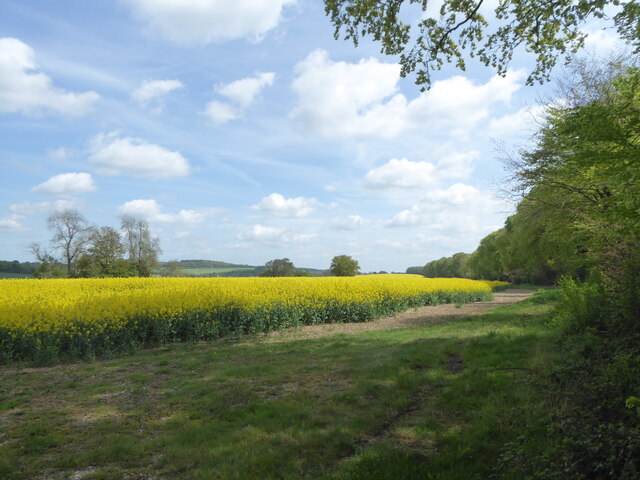
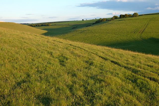
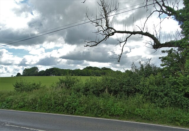
Keysley Down is a small village located in the county of Wiltshire, England. Situated on the eastern edge of the Salisbury Plain, the village is known for its picturesque landscape, characterized by rolling downs and expansive moorland.
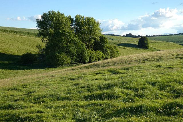
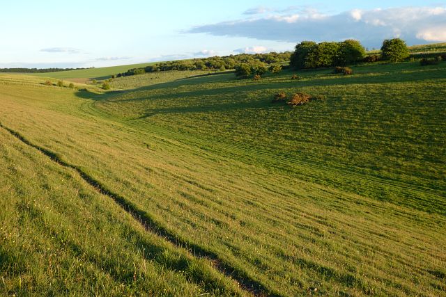
The village is surrounded by vast stretches of open countryside, offering stunning views and a tranquil atmosphere. The downs in Keysley Down are covered in lush green grass and are home to a variety of plant and animal species. The moorland areas, on the other hand, feature heathland vegetation and scattered bogs, creating a unique and diverse habitat.
The village itself consists of a cluster of traditional stone houses, giving it a charming and quaint appearance. Despite its small size and rural setting, Keysley Down has a strong sense of community, with a close-knit population that takes pride in maintaining the village's heritage.
The area is a haven for outdoor enthusiasts and nature lovers, with numerous walking and hiking trails crisscrossing the downs and moorland. Visitors can explore the beautiful scenery, observe wildlife such as rabbits, deer, and various bird species, and enjoy the peacefulness of the countryside.
Although Keysley Down is primarily a residential area, it is conveniently located near the town of Trowbridge, providing easy access to amenities such as shops, schools, and healthcare facilities. Additionally, the vibrant city of Bath is just a short drive away, offering a wealth of cultural, historical, and entertainment attractions.
Overall, Keysley Down, Wiltshire offers a tranquil and idyllic setting, making it a desirable place to live or visit for those seeking a peaceful countryside experience.
If you have any feedback on the listing, please let us know in the comments section below.
Keysley Down Images
Images are sourced within 2km of 51.111599/-2.1857269 or Grid Reference ST8734. Thanks to Geograph Open Source API. All images are credited.


Keysley Down is located at Grid Ref: ST8734 (Lat: 51.111599, Lng: -2.1857269)
Unitary Authority: Wiltshire
Police Authority: Wiltshire
What 3 Words
///spellings.moats.section. Near Chicklade, Wiltshire
Nearby Locations
Related Wikis

Pertwood
Pertwood is an ancient settlement and former civil parish, near Warminster in the county of Wiltshire in the west of England. Its land and houses now lie...

West Knoyle
West Knoyle is a small village and civil parish in southwest Wiltshire, England, close to the southern edge of Salisbury Plain. The village is about 2...

Hang Wood
Hang Wood (grid reference ST861319) is a 20.3 hectare biological Site of Special Scientific Interest in Wiltshire, notified in 1986. == Sources == Natural...

Monkton Deverill
Monkton Deverill (anciently known as East Monkton) is a village and former civil parish, now in the parish of Kingston Deverill, in Wiltshire, England...
Have you been to Keysley Down?
Leave your review of Keysley Down below (or comments, questions and feedback).