Abbotside Common
Downs, Moorland in Yorkshire Richmondshire
England
Abbotside Common
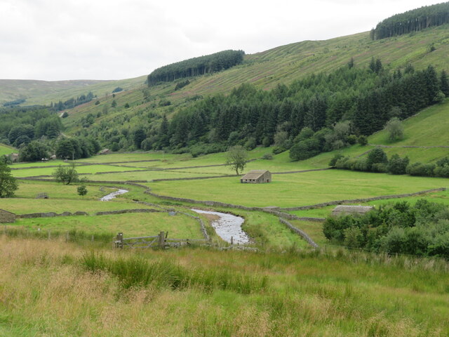
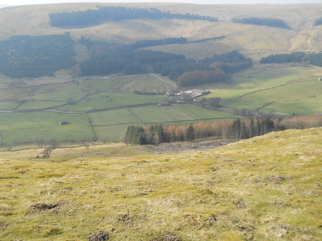
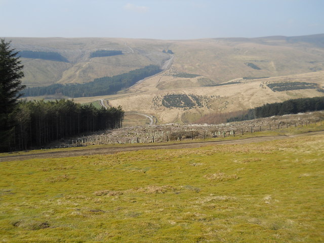
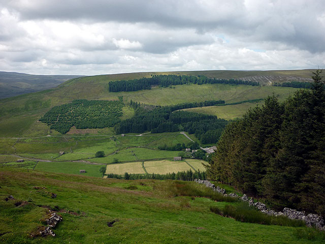
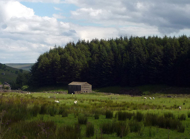
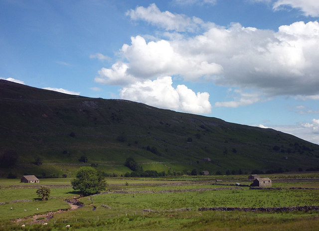
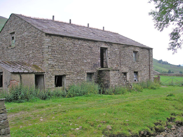
Abbotside Common is a picturesque expanse of land located in the district of Yorkshire, England. Spread across the stunning countryside, it encompasses a diverse range of landscapes, including downs and moorland. The common is situated in the upper reaches of the River Ure valley, near the charming village of Hawes.
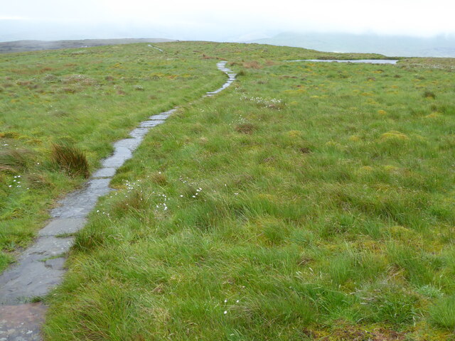
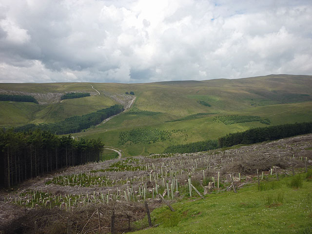
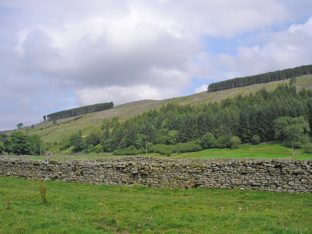
The downs of Abbotside Common are characterized by their rolling hills and expansive grasslands. Offering breathtaking views of the surrounding countryside, these downs provide a haven for a variety of flora and fauna. Visitors can witness an array of wildflowers in bloom during the spring and summer months, creating a colorful tapestry across the landscape.
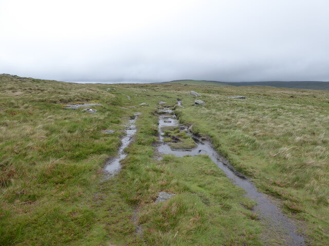
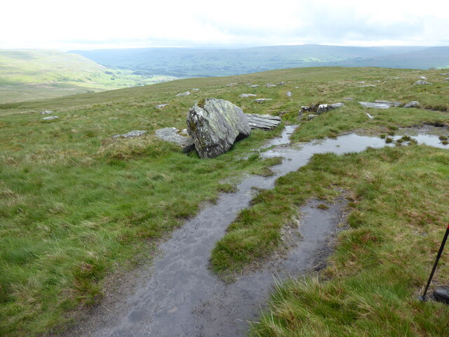
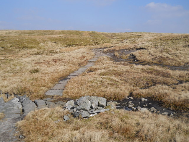
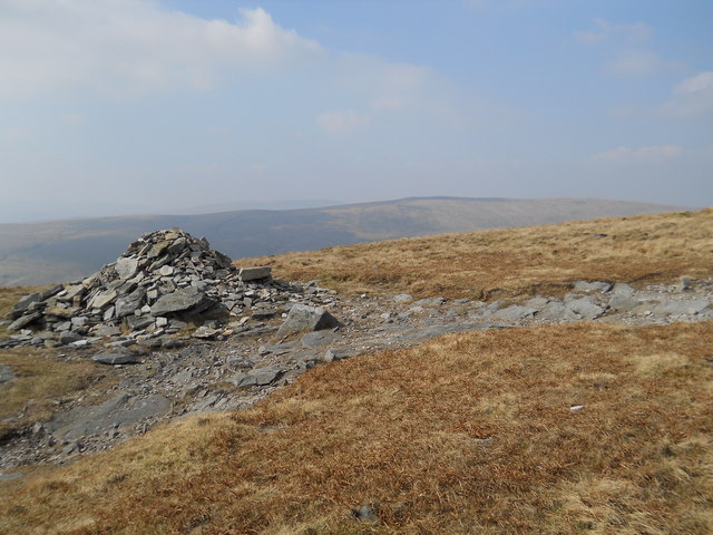
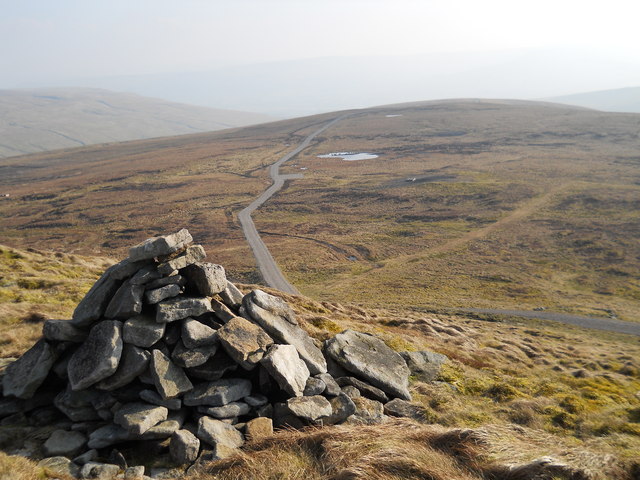
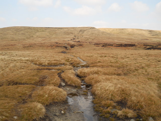
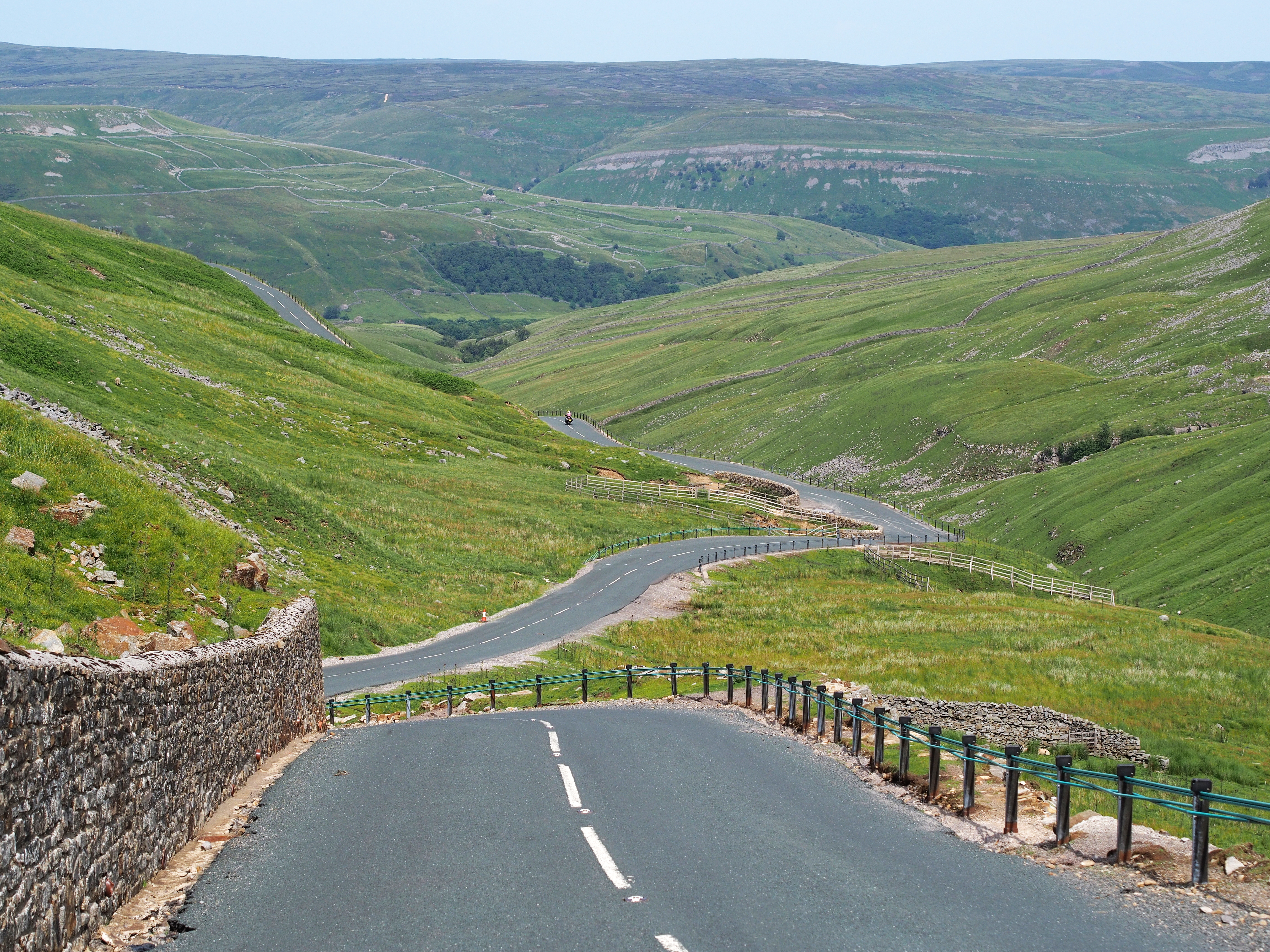
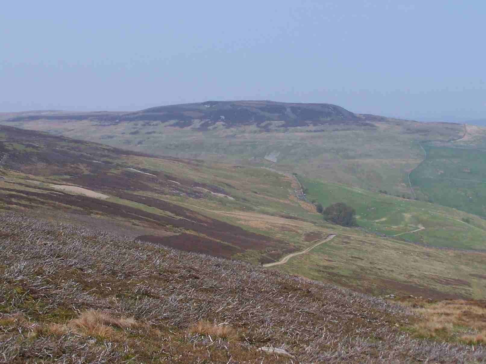
The moorland section of Abbotside Common is a rugged and captivating terrain. Its heather-covered expanses stretch as far as the eye can see, punctuated by rocky outcrops and peat bogs. This wild and untamed landscape is home to many species of birds, including the iconic red grouse, which can often be heard calling across the moors.
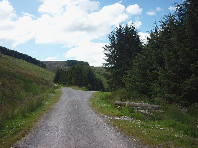
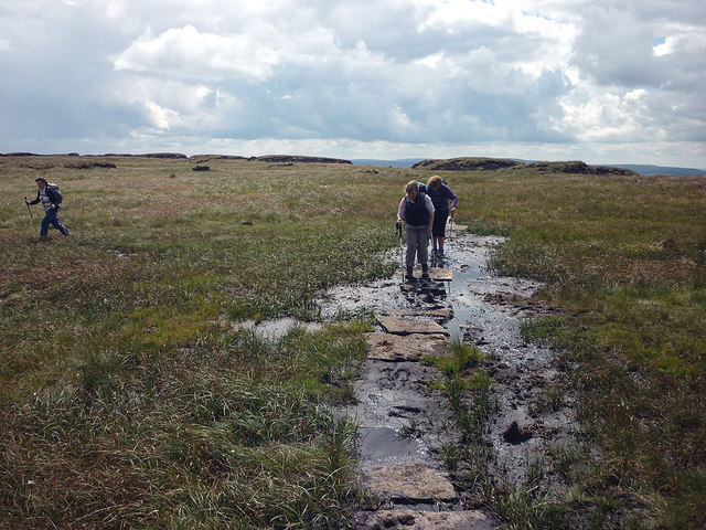
Abbotside Common is a paradise for outdoor enthusiasts, offering a multitude of walking trails and paths to explore. Its serene and tranquil atmosphere provides the perfect setting for a leisurely stroll or a challenging hike. Whether you are a seasoned walker or a casual visitor, there is something for everyone to enjoy on Abbotside Common.
With its stunning natural beauty and diverse landscapes, Abbotside Common is a true gem of Yorkshire. It offers a unique opportunity to immerse oneself in the beauty of the English countryside and experience the tranquility of nature at its finest.
If you have any feedback on the listing, please let us know in the comments section below.
Abbotside Common Images
Images are sourced within 2km of 54.352825/-2.253613 or Grid Reference SD8395. Thanks to Geograph Open Source API. All images are credited.
Abbotside Common is located at Grid Ref: SD8395 (Lat: 54.352825, Lng: -2.253613)
Division: North Riding
Administrative County: North Yorkshire
District: Richmondshire
Police Authority: North Yorkshire
What 3 Words
///burglars.onto.work. Near Kirkby Stephen, Cumbria
Nearby Locations
Related Wikis

Cotterdale
Cotterdale is a small side dale and hamlet on the north side of Wensleydale in North Yorkshire, England. The dale lies to the west of Great Shunner Fell...

Great Shunner Fell
Great Shunner Fell is the third highest mountain in the Yorkshire Dales, North Yorkshire, England, and the highest point in Wensleydale; at 716 metres...
Buttertubs Pass
The Buttertubs Pass is a high road in the Yorkshire Dales, England. The road winds its way north from Simonstone near Hawes towards Thwaite and Muker past...

Cotter Force
Cotter Force is a small waterfall on Cotterdale Beck, a minor tributary of the River Ure, near the mouth of Cotterdale, a side dale in Wensleydale, North...
Lovely Seat
Lovely Seat, originally known as Lunasett until being misnamed by map makers some time in the twentieth century, is a fell in the Yorkshire Dales National...

Lunds, North Yorkshire
Lunds is a hamlet in North Yorkshire, England, near to the watershed of the Eden and Ure rivers. It is on the border between Cumbria and North Yorkshire...
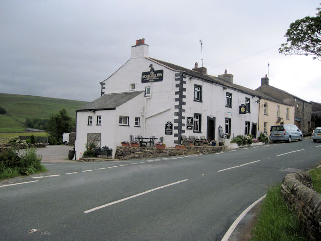
Moorcock Inn
The Moorcock Inn is a public house at the watershed of the Eden, Clough and Ure rivers, in Upper Wensleydale, North Yorkshire, England. It is adjacent...

Hugh Seat
Hugh Seat is a mountain, or more accurately a fell, in Mallerstang on the eastern edge of Cumbria, England. It lies on the border between Cumbria and North...
Have you been to Abbotside Common?
Leave your review of Abbotside Common below (or comments, questions and feedback).