Ash Force
Waterfall in Yorkshire Richmondshire
England
Ash Force
Ash Force, Yorkshire, also known as Ash Force Waterfall, is a stunning natural attraction located in the heart of the North York Moors National Park, England. This picturesque waterfall is situated on the River May Beck, near the village of Littlebeck.
Ash Force is renowned for its beauty and tranquility, attracting visitors from far and wide. The waterfall cascades down a series of limestone steps, creating a mesmerizing spectacle of rushing water and mist. The crystal-clear water tumbles over moss-covered rocks, surrounded by lush greenery and towering trees, adding to its enchanting charm.
Access to Ash Force is through a peaceful woodland path that winds its way through the idyllic Littlebeck Valley. The walk to the waterfall is approximately one mile long, offering visitors an opportunity to immerse themselves in the natural beauty of the area. The path is well-maintained and suitable for most fitness levels, making it accessible to a wide range of visitors.
Ash Force is a popular spot for nature lovers, hikers, and photographers. The tranquil ambiance and stunning scenery make it an ideal location for picnics, leisurely walks, and capturing memorable photographs. Visitors can also explore the surrounding area, with its diverse wildlife and rich flora.
It is important to note that while Ash Force Waterfall is a beautiful attraction, visitors should exercise caution when visiting. The rocks around the waterfall can be slippery, especially during wet weather, so sturdy footwear is recommended. Additionally, visitors are advised to respect the natural environment and take any litter with them, ensuring the beauty of Ash Force is preserved for future generations.
If you have any feedback on the listing, please let us know in the comments section below.
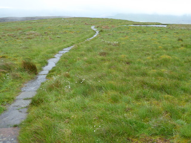
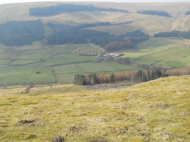
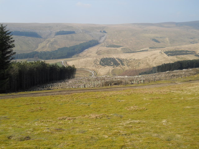
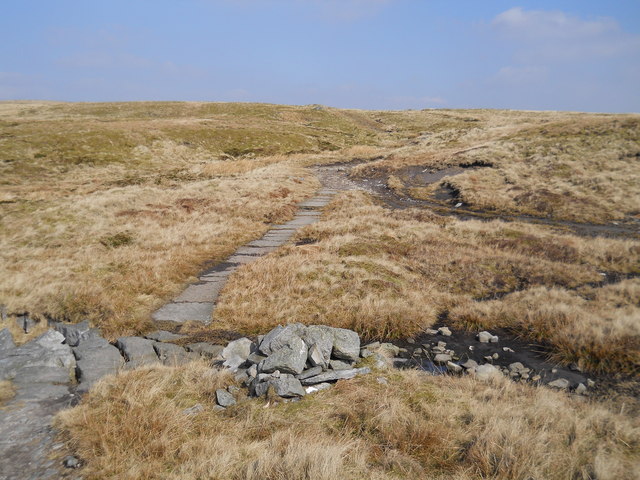
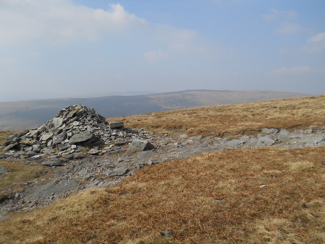
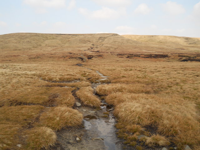
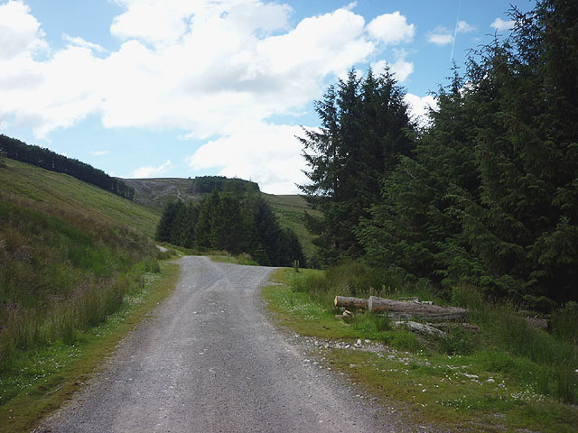
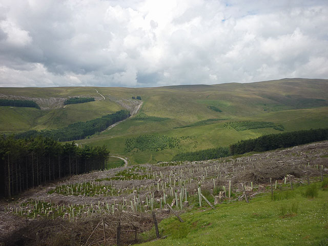
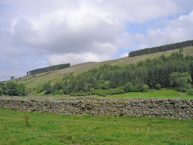
Ash Force Images
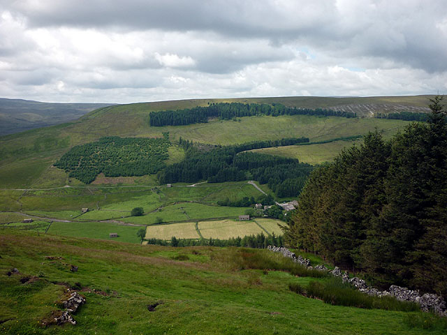
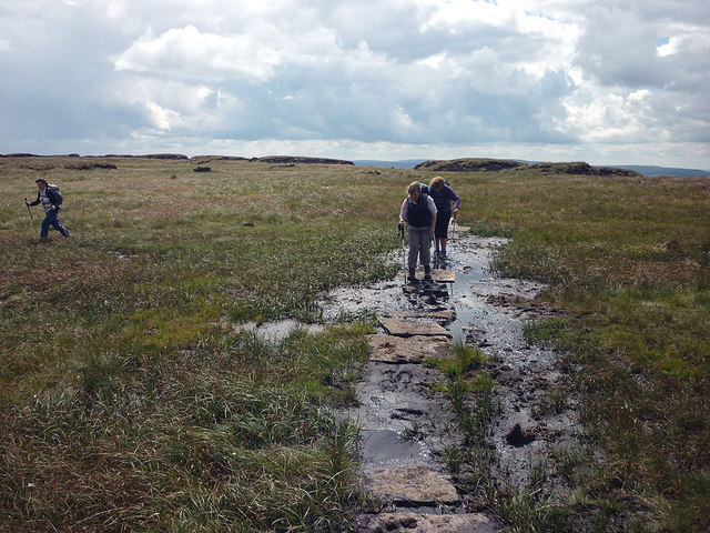
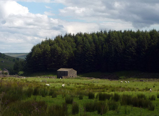
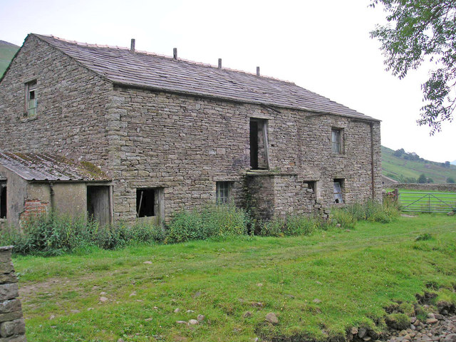
Images are sourced within 2km of 54.356421/-2.2615133 or Grid Reference SD8395. Thanks to Geograph Open Source API. All images are credited.


Ash Force is located at Grid Ref: SD8395 (Lat: 54.356421, Lng: -2.2615133)
Division: North Riding
Administrative County: North Yorkshire
District: Richmondshire
Police Authority: North Yorkshire
What 3 Words
///threaded.raking.flesh. Near Kirkby Stephen, Cumbria
Nearby Locations
Related Wikis

Cotterdale
Cotterdale is a small side dale and hamlet on the north side of Wensleydale in North Yorkshire, England. The dale lies to the west of Great Shunner Fell...

Great Shunner Fell
Great Shunner Fell is the third-highest mountain in the Yorkshire Dales, North Yorkshire, England, and the highest point in Wensleydale; at 716 metres...

Lunds, North Yorkshire
Lunds is a hamlet in North Yorkshire, England, near to the watershed of the Eden and Ure rivers. It is on the border between Cumbria and North Yorkshire...

Hugh Seat
Hugh Seat is a mountain, or more accurately a fell, in Mallerstang on the eastern edge of Cumbria, England. It lies on the border between Cumbria and North...
Nearby Amenities
Located within 500m of 54.356421,-2.2615133Have you been to Ash Force?
Leave your review of Ash Force below (or comments, questions and feedback).