Ackroy Gill Force
Waterfall in Yorkshire Richmondshire
England
Ackroy Gill Force
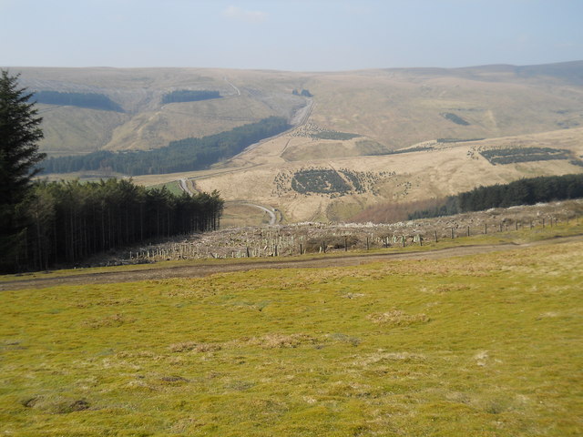
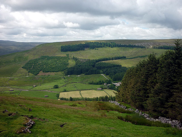
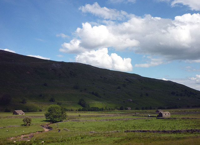
Ackroy Gill Force is a stunning waterfall located in Yorkshire, England. Nestled in the picturesque countryside, this waterfall is a popular attraction for nature lovers, hikers, and photographers alike. The force is situated within the North York Moors National Park, adding to its natural charm.
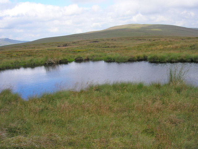
Standing at an impressive height of approximately 15 meters, Ackroy Gill Force cascades down a rocky cliff-face, creating a mesmerizing sight and producing a soothing sound of rushing water. The waterfall is fed by the waters of Ackroy Gill, a small stream that flows through the surrounding hills.
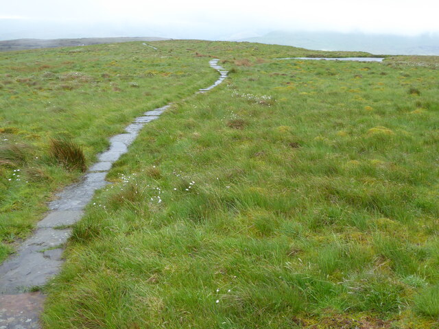
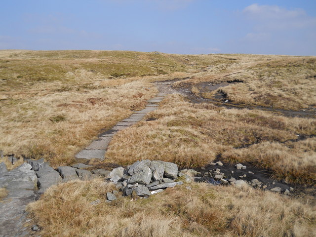
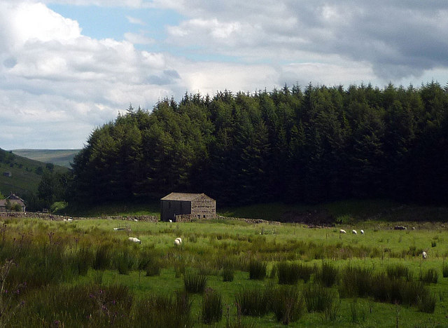
To reach Ackroy Gill Force, visitors can follow a well-marked trail that leads through a lush green forest and across babbling brooks. The trail offers breathtaking views of the surrounding landscapes and provides a chance to observe the area's diverse flora and fauna.
The waterfall is particularly picturesque after a heavy rainfall, when the water flow intensifies, creating a dramatic display of nature's power. Many visitors enjoy capturing this natural spectacle on camera, making Ackroy Gill Force a popular spot for photography enthusiasts.
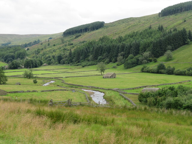
While the waterfall itself is the main highlight, the surrounding area offers additional attractions. Nearby, visitors can explore charming villages, enjoy scenic walks, or have a picnic in one of the designated areas. Overall, Ackroy Gill Force is a must-visit destination for those seeking tranquility, natural beauty, and a taste of Yorkshire's stunning landscapes.
If you have any feedback on the listing, please let us know in the comments section below.
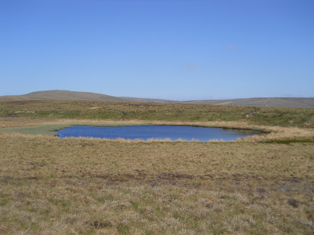
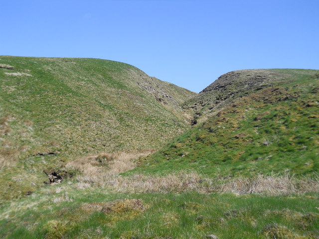
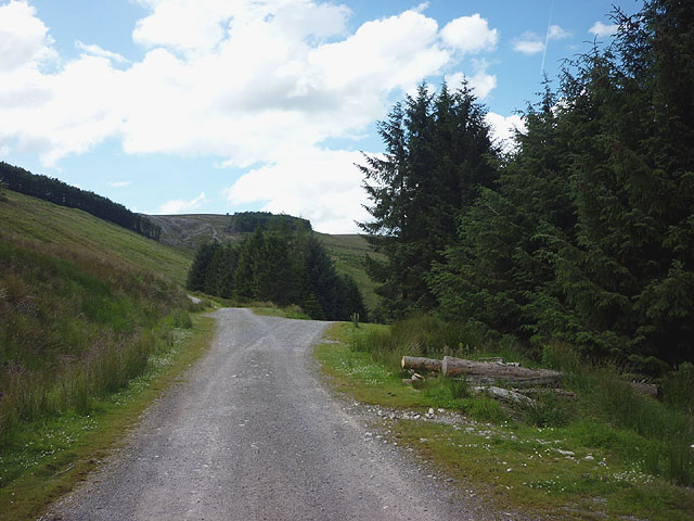
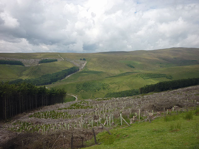
Ackroy Gill Force Images
Images are sourced within 2km of 54.350207/-2.271243 or Grid Reference SD8294. Thanks to Geograph Open Source API. All images are credited.
Ackroy Gill Force is located at Grid Ref: SD8294 (Lat: 54.350207, Lng: -2.271243)
Division: North Riding
Administrative County: North Yorkshire
District: Richmondshire
Police Authority: North Yorkshire
What 3 Words
///married.inflates.torn. Near Kirkby Stephen, Cumbria
Nearby Locations
Related Wikis

Cotterdale
Cotterdale is a small side dale and hamlet on the north side of Wensleydale in North Yorkshire, England. The dale lies to the west of Great Shunner Fell...

Lunds, North Yorkshire
Lunds is a hamlet in North Yorkshire, England, near to the watershed of the Eden and Ure rivers. It is on the border between Cumbria and North Yorkshire...

Great Shunner Fell
Great Shunner Fell is the third highest mountain in the Yorkshire Dales, North Yorkshire, England, and the highest point in Wensleydale; at 716 metres...
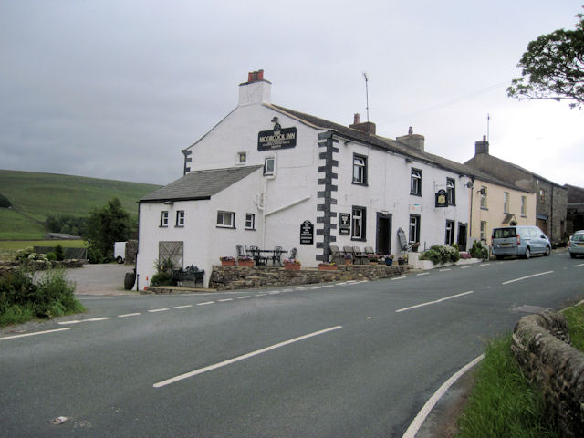
Moorcock Inn
The Moorcock Inn is a public house at the watershed of the Eden, Clough and Ure rivers, in Upper Wensleydale, North Yorkshire, England. It is adjacent...
Hawes Junction rail crash
The Hawes Junction rail crash occurred at 5.49 am on 24 December 1910, just north of Lunds Viaduct between Hawes Junction (now known as Garsdale station...

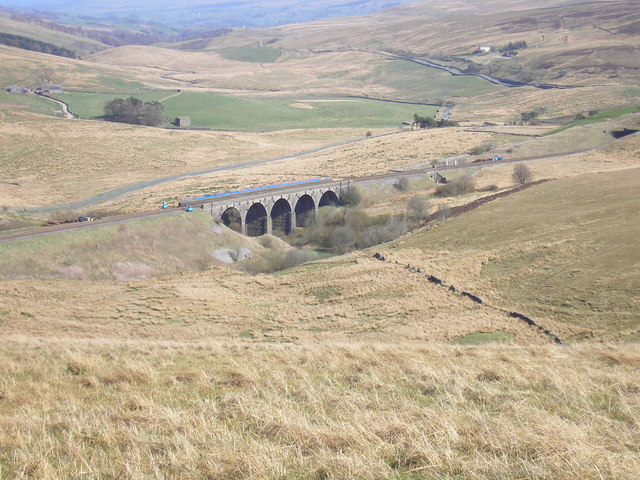
Dandry Mire Viaduct
Dandry Mire Viaduct, (or Dandrymire Viaduct), is a railway viaduct on the Settle & Carlisle line in Cumbria, England. It is just north of Garsdale station...

Cotter Force
Cotter Force is a small waterfall on Cotterdale Beck, a minor tributary of the River Ure, near the mouth of Cotterdale, a side dale in Wensleydale, North...

Hugh Seat
Hugh Seat is a mountain, or more accurately a fell, in Mallerstang on the eastern edge of Cumbria, England. It lies on the border between Cumbria and North...
Related Videos
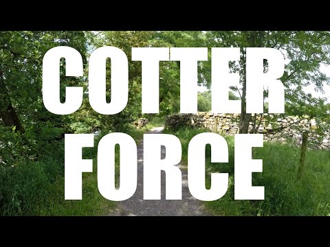
Cotter Force
A swim in the very accessible Cotter Force, followed by some exploring... Starting from lay-by parking: DL8 3LR The first video in ...
Great Shunner Fell & Lovely Seat, Yorkshire Dales - 27 May 2023
A 10 mile walk from Thwaite in Swaldale. The route joins the Pennine Way and heads west then south as it slowly climbs up to ...

The fast but stupid ones scare me more.
A brief look into Cotterdale. This is far enough up the valley to be off the map I took with me. On online maps, it seems you can get ...
Nearby Amenities
Located within 500m of 54.350207,-2.271243Have you been to Ackroy Gill Force?
Leave your review of Ackroy Gill Force below (or comments, questions and feedback).