Snaizeholme Pasture
Downs, Moorland in Yorkshire Richmondshire
England
Snaizeholme Pasture

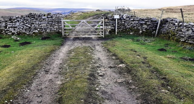
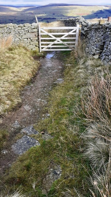
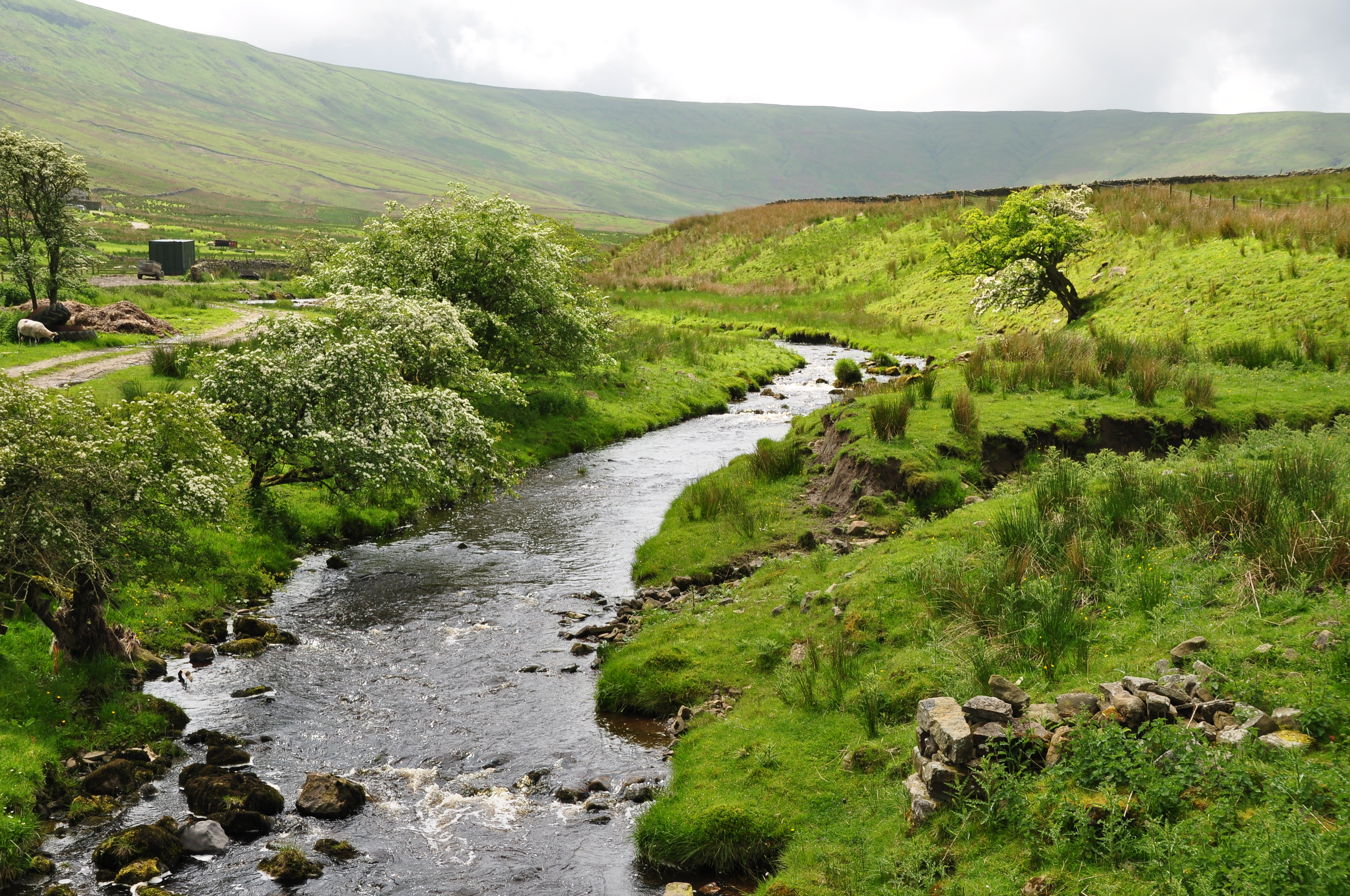
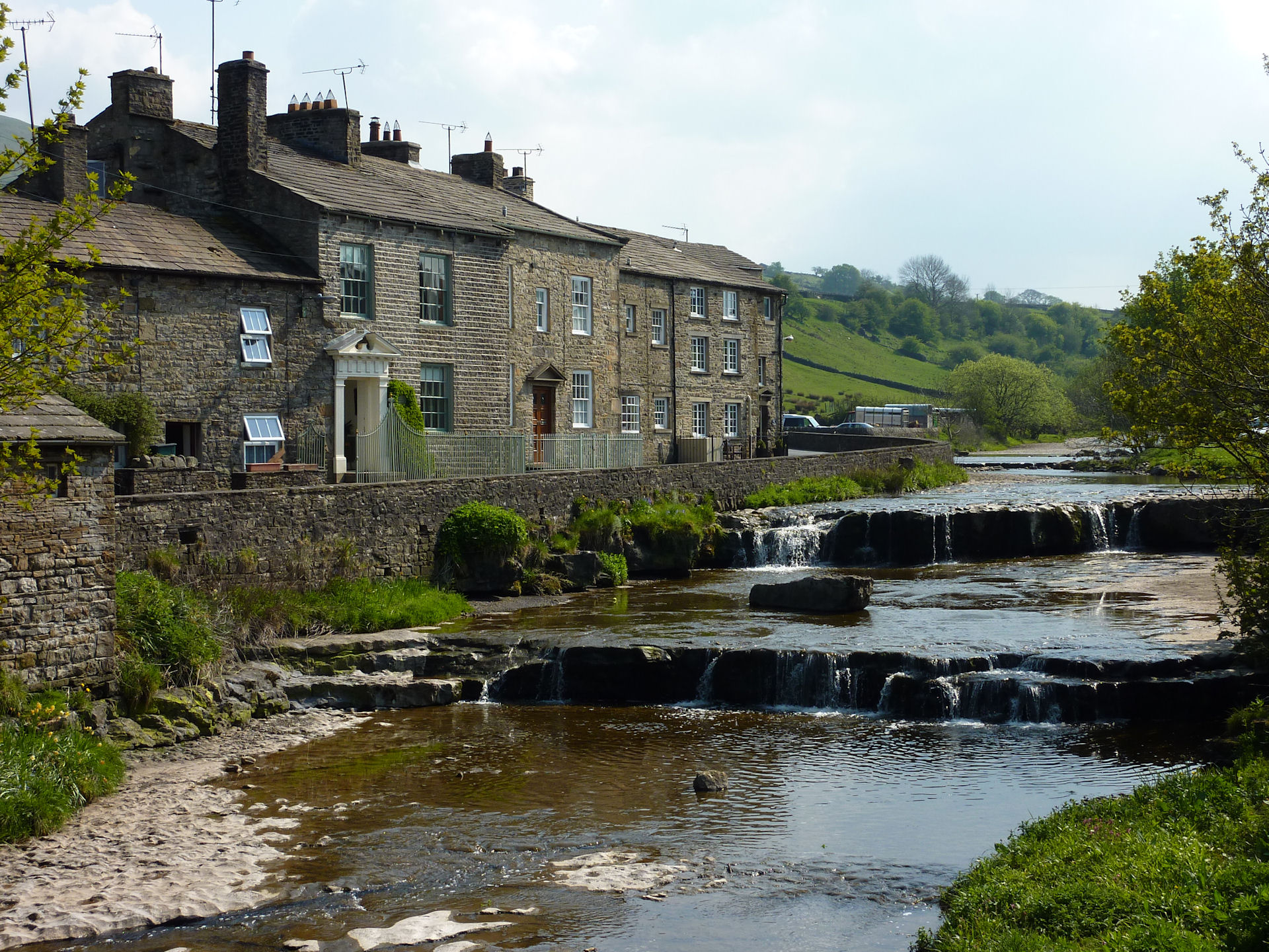
Snaizeholme Pasture is a picturesque area located in the county of Yorkshire, England. Situated amidst the tranquil Yorkshire Dales, this pasture offers stunning views of the surrounding landscape, which includes the rolling Yorkshire Downs and expansive Moorland.
Covering a vast area of approximately 500 acres, Snaizeholme Pasture is a haven for nature enthusiasts and wildlife lovers. The pasture is home to a diverse range of flora and fauna, making it a popular destination for those seeking to experience the beauty of the Yorkshire countryside. Visitors can expect to see an array of wildflowers, including the vibrant purple heather that carpets the Moorland during the summer months.
The pasture is also renowned for its rich wildlife population. Birdwatchers will delight in spotting various species, such as buzzards, curlews, and lapwings, soaring through the skies. The area is also home to herds of red deer, which can often be seen grazing peacefully in the meadows.
For those looking to explore the area further, there are several walking trails that wind their way through the pasture. These paths provide an opportunity to fully immerse oneself in the natural beauty of Snaizeholme Pasture, while also offering breathtaking views of the surrounding countryside.
Overall, Snaizeholme Pasture offers a serene and idyllic escape from the hustle and bustle of everyday life. Its unspoiled natural beauty and diverse wildlife make it a must-visit destination for nature enthusiasts and those seeking a peaceful retreat in the heart of Yorkshire.
If you have any feedback on the listing, please let us know in the comments section below.
Snaizeholme Pasture Images
Images are sourced within 2km of 54.289969/-2.2532109 or Grid Reference SD8388. Thanks to Geograph Open Source API. All images are credited.


Snaizeholme Pasture is located at Grid Ref: SD8388 (Lat: 54.289969, Lng: -2.2532109)
Division: North Riding
Administrative County: North Yorkshire
District: Richmondshire
Police Authority: North Yorkshire
What 3 Words
///threading.amazed.connects. Near Sedbergh, Cumbria
Nearby Locations
Related Wikis

Appersett
Appersett is a hamlet in the Yorkshire Dales in the Richmondshire district of North Yorkshire, England one mile (1.6 km) west of Hawes. It lies on the...
Snaizeholme
Snaizeholme is a small side valley of Wensleydale in the Yorkshire Dales National Park (YDNP), North Yorkshire, England. The valley is noted for its red...

Cotter Force
Cotter Force is a small waterfall on Cotterdale Beck, a minor tributary of the River Ure, near the mouth of Cotterdale, a side dale in Wensleydale, North...
Gayle, North Yorkshire
Gayle is a hamlet 0.4-mile (0.64 km) south of Hawes in Wensleydale, North Yorkshire, England. It is noted for the beck that flows through it and the old...
Nearby Amenities
Located within 500m of 54.289969,-2.2532109Have you been to Snaizeholme Pasture?
Leave your review of Snaizeholme Pasture below (or comments, questions and feedback).